Pamir highway tours
Start from Osh city (Kyrgyzstan) to Dushanbe (Tajikistan)

Day 1
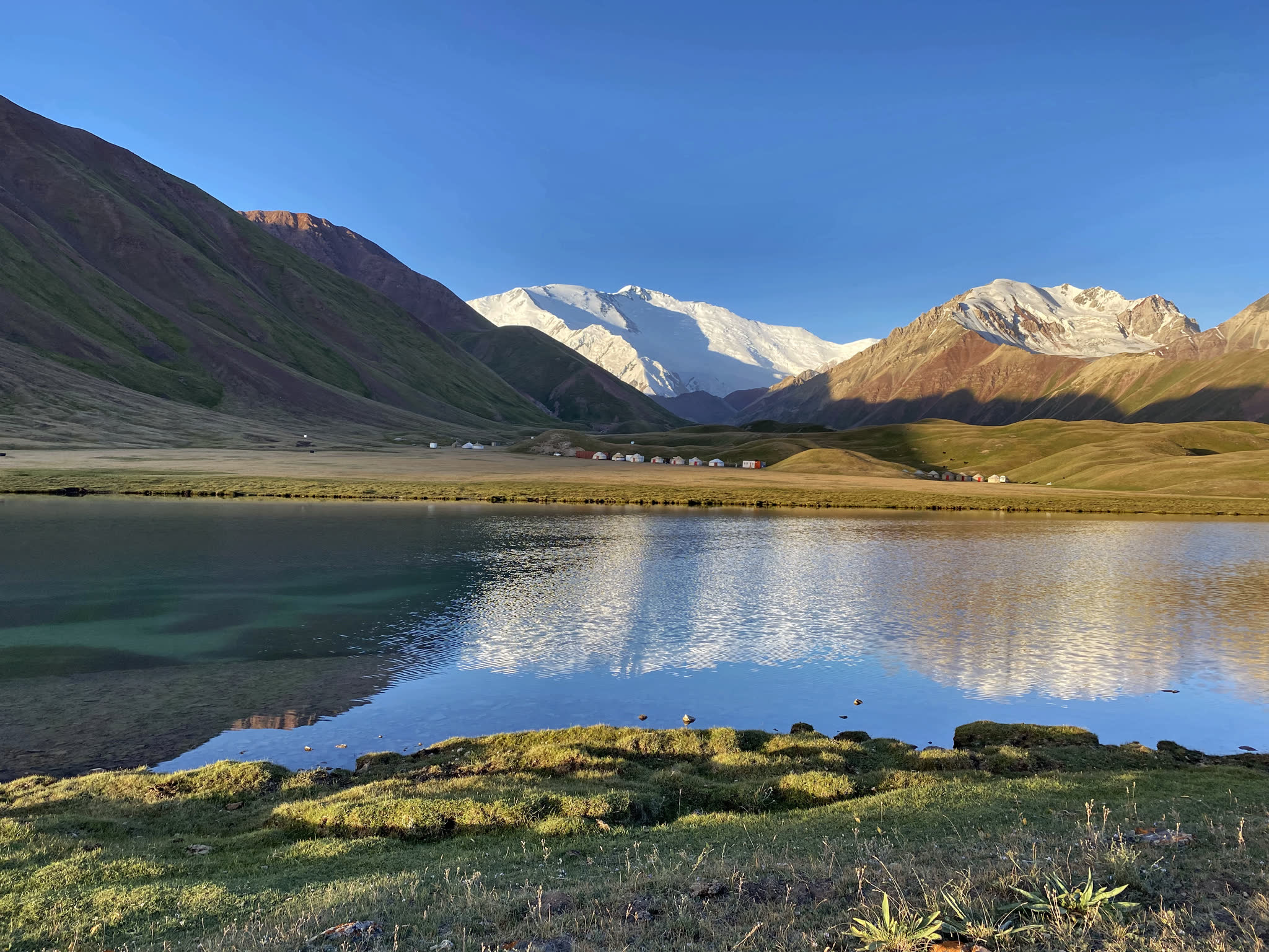
Start from Osh (airport, border or hotel) to Tulpar Kol lake
Total time: 6 hours
Driving distance: 245km (4 hours)
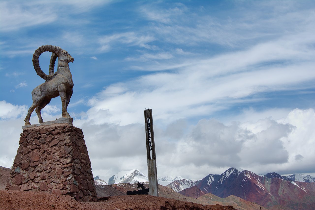
Max Elevation: 3640 m (Taldyk Pass)
Min Elevation: 1000m (Osh)
Overnight at 3500m (Tulpar-Kol)
Tour category: easy
The best admiration
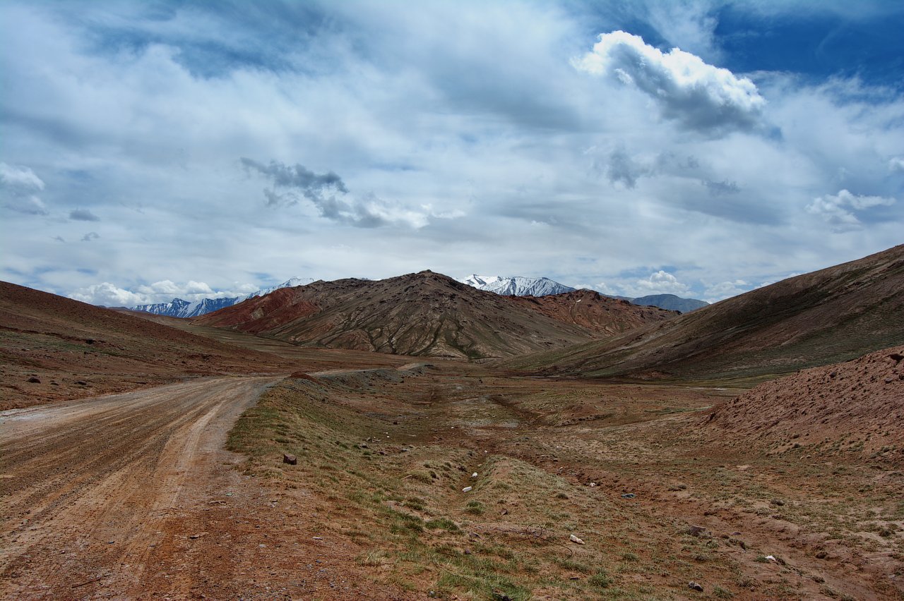
The road ascends gradually, revealing views of lush green valleys, distant mountains and small Kyrgyz villages. As you approach Sary-Tash, Sary-Mogol you will begin to see snow-capped peaks, including parts of the Pamir range and stunning views of the Alay Valley with Lenin Peak 7134m in the background. After arriving in Tulpar-Kol, you can see incredible landscapes of about 50 lakes among the hills, untouched nature and wild landscapes. the driver will take you directly to the yurt where you can have lunch. Afterwards, enjoy a walk through the surrounding area until sunset, admiring the best views of Lenin Peak.

Day2. Tulpar Kol yurt camp to Murgab (Tajikistan)
(285km\ 8-9h)
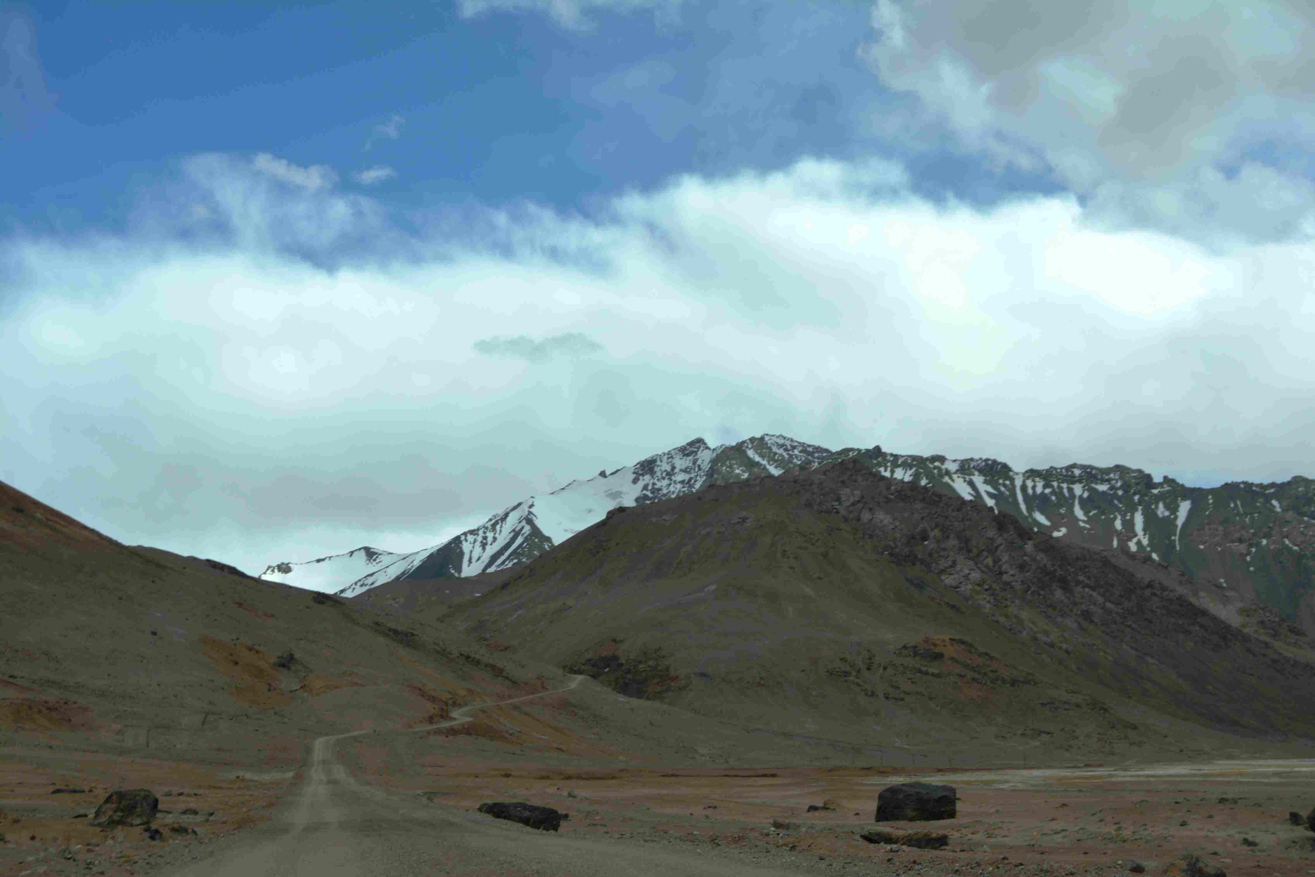
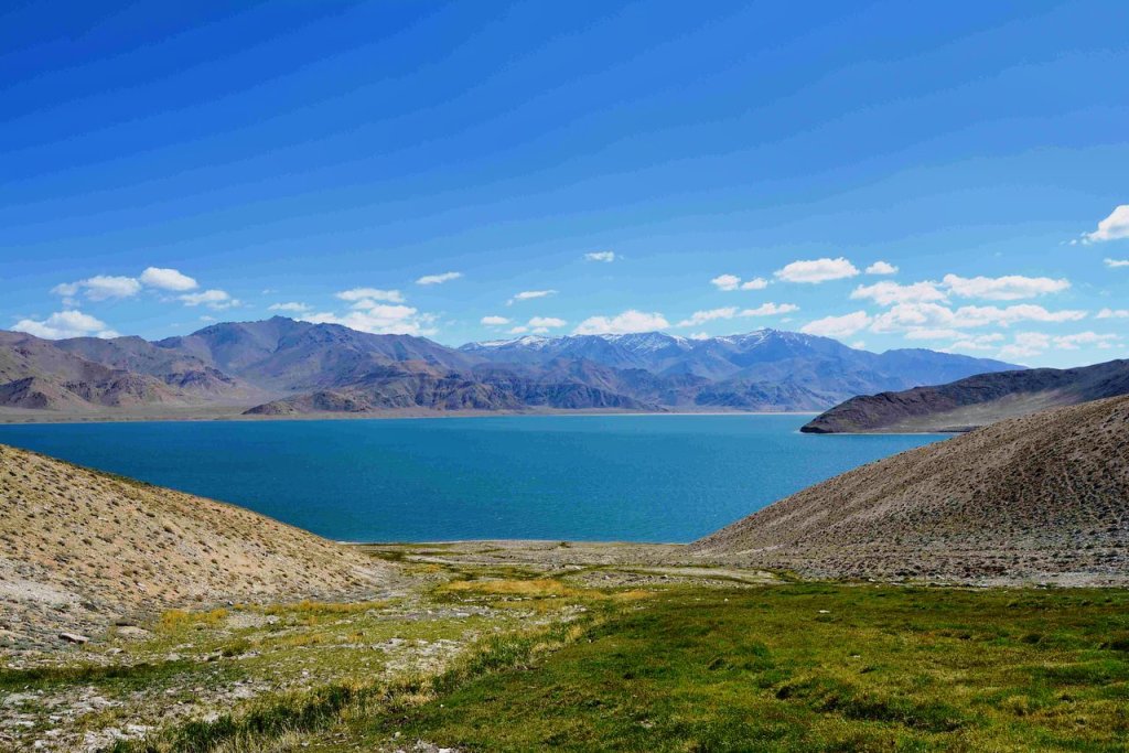
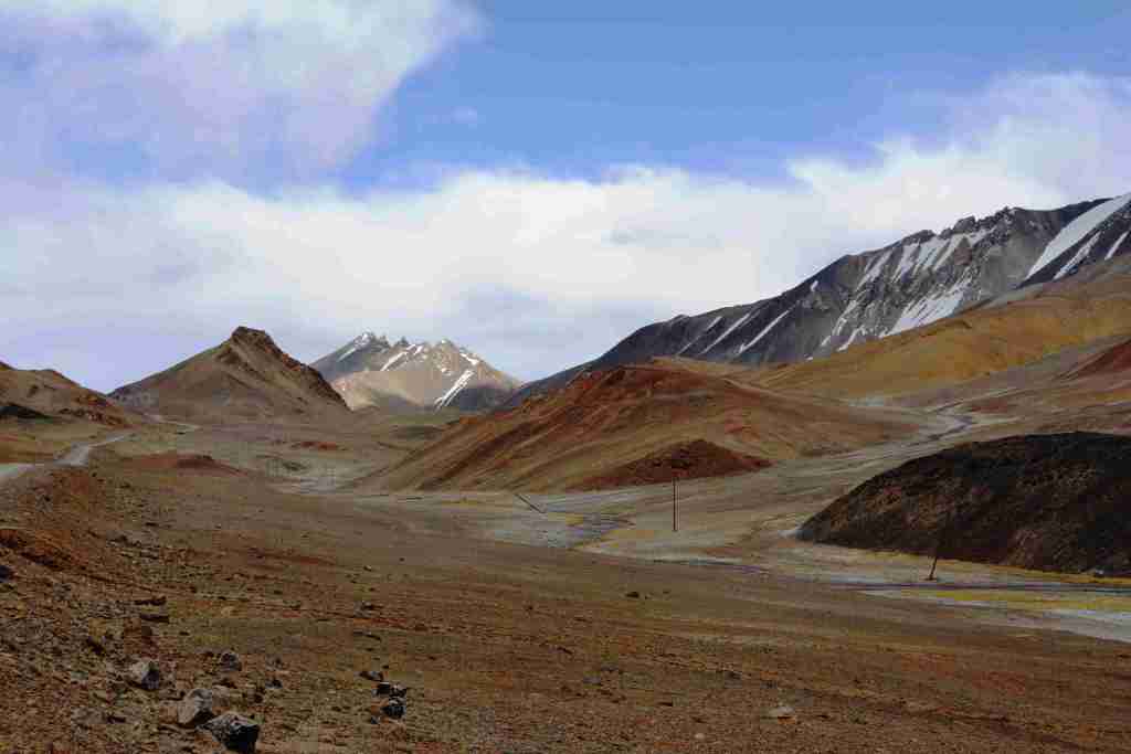
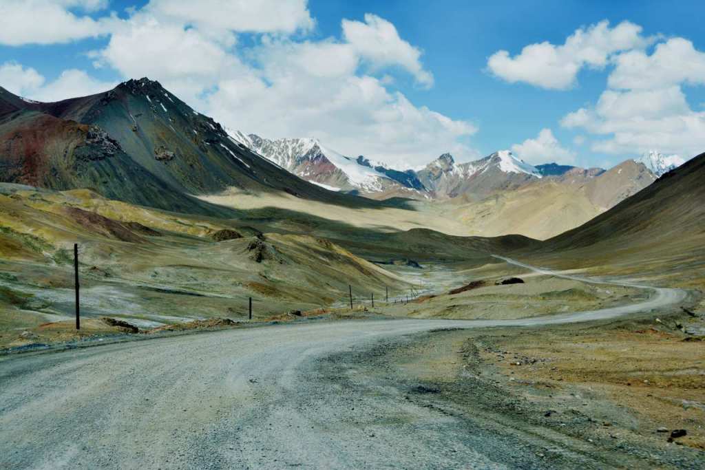
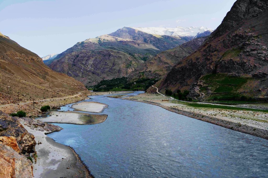
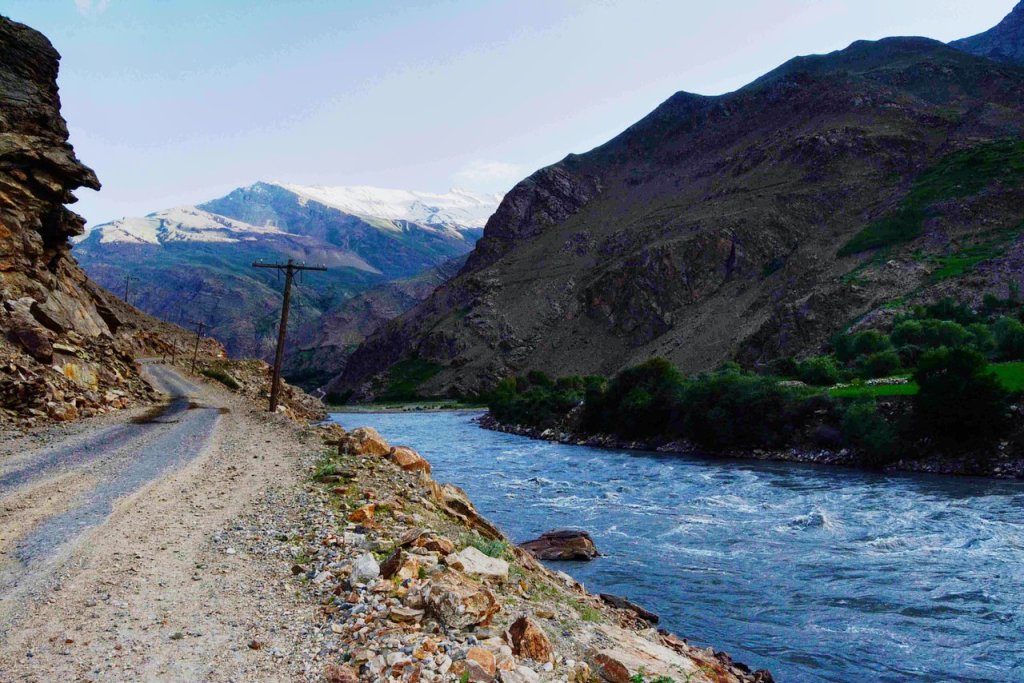
- Today we drive to Tajikistan area with M41 high way. From Tulpar kol yurt camp to Murgab it takes whole day due to bad condition of the road. The road goes through the high mountains passes (Kyzyl-Art 4280m and Ak-Baital 4650m) most picturesque valley and amazing terrain, where one can stop for rest and shoot photos of the mountains. On the way in the small Kara Kol village you will stop for lunch and see the Kara Kol lake (Karakul is a 25-km diameter lake. It is located in the Tajik National Park in the Pamir Mountains.
- Height above sea level: 3,900 m
- Area: 380 km²
- Width: 25 km
- Maximum. depth: 230 m
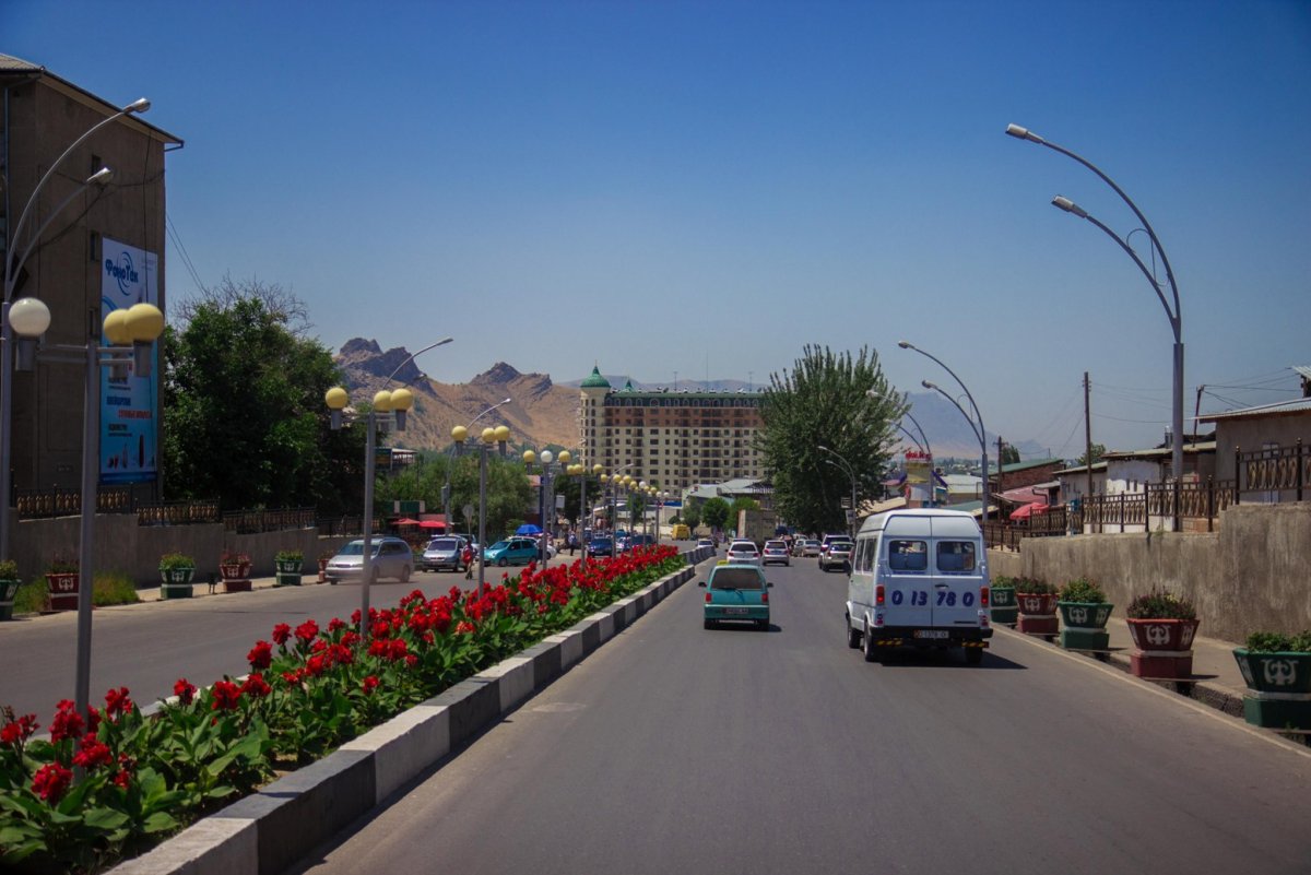
Accommodation in Murgab. Murghob is the only significant town in the eastern half of Gorno-Badakhshan. It is the highest town in Tajikistan at 3,650 meters above sea level.


Day 3. Murgab-Bulunkul –langar
(250 km 5hours driving 2 hours walking)
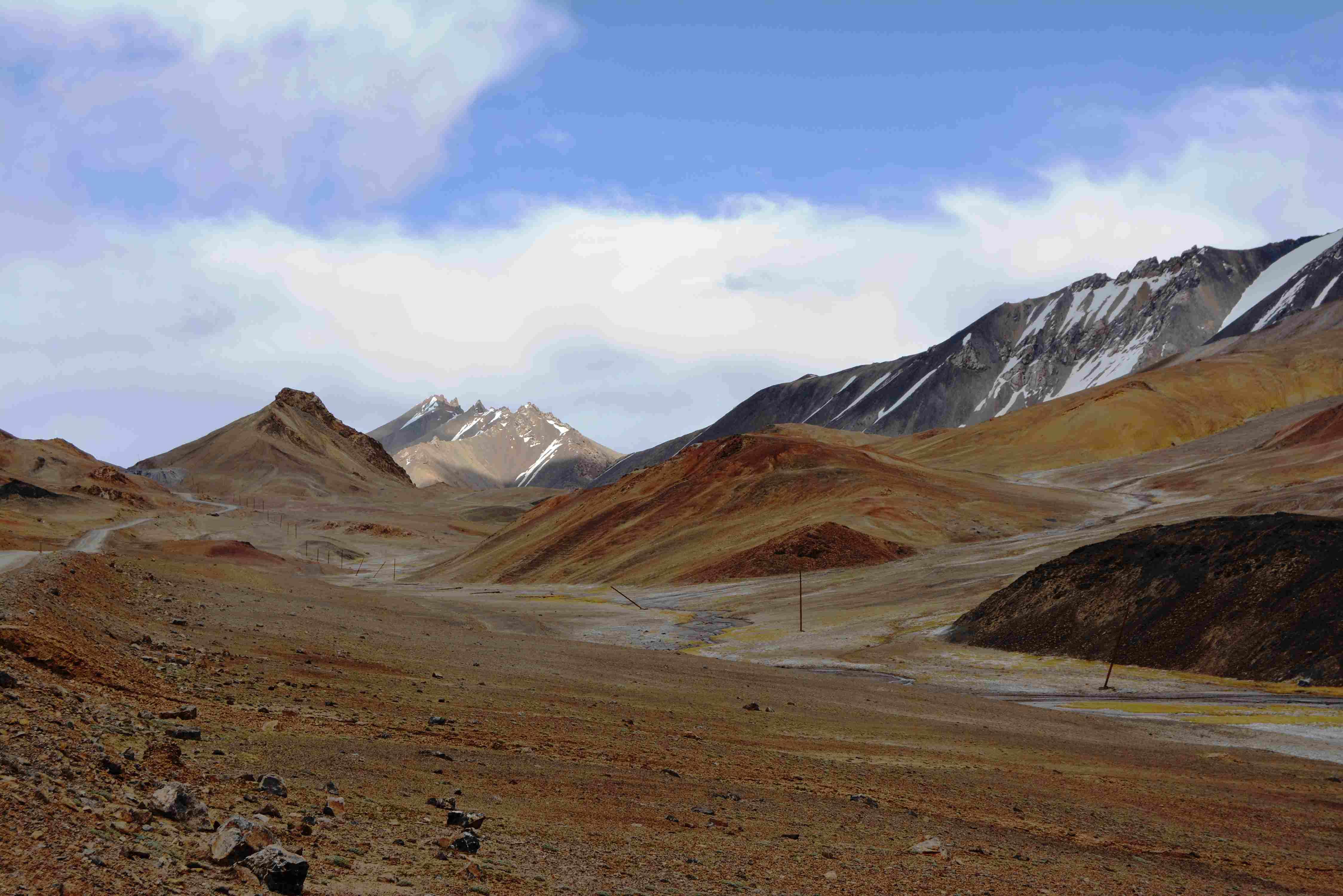
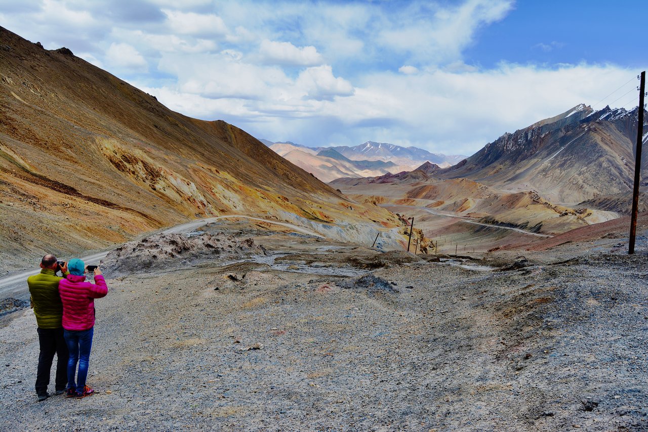
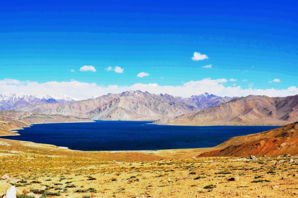
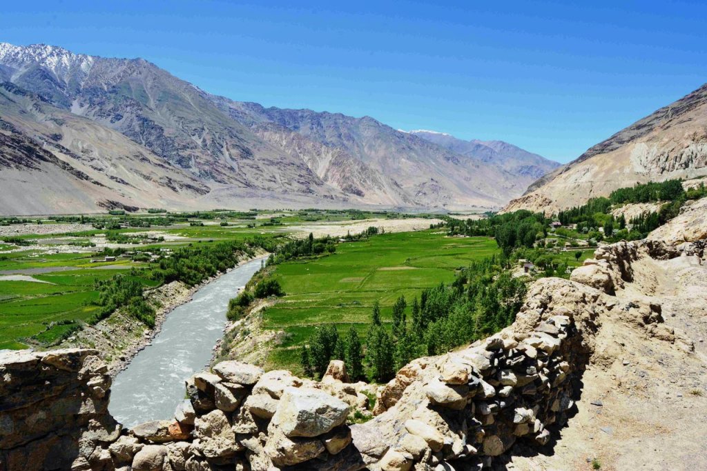
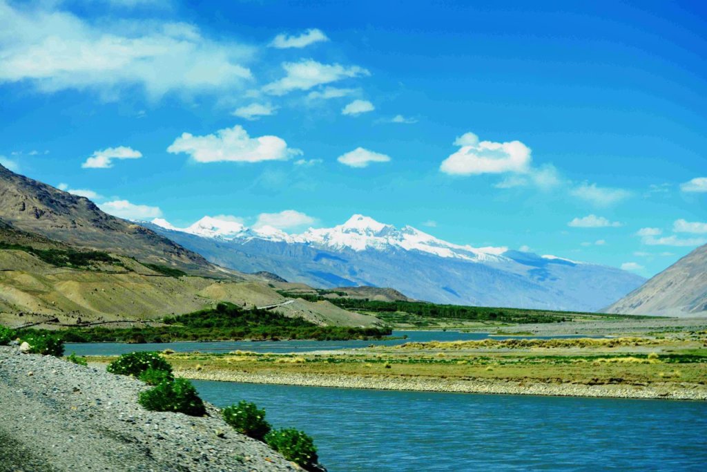
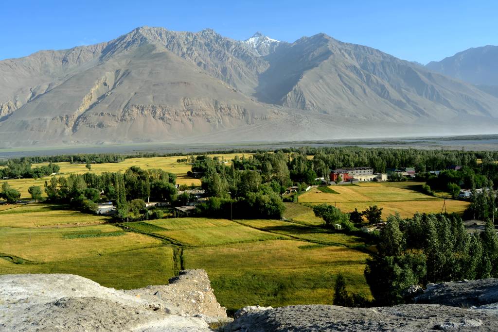
- Drive out from Murgab early morning, drive (140km 3h) to the lakes Yashilkul and Bulunkul which are located at an altitude of 3,914 meters (12,841 feet) in the Alichur valley, where the settlements of Tajik habitants. Continue driving until to Yashil-Kol lake (big one), short hiking around the lake afterwards drive for about 110 km along the Wakhan Valley of Pamir Highway. Arrive for accommodation in Langar. The night’s altitude is 3650m.
- Lake Yashilkul located at an elevation of 3,734 m above sea level has the following dimensions: surface area – 36 km2, length – about 22 km, maximal width – 4.5 km, maximal depth – 52 m. The water temperature never rises above +14°C.

Day4. Langar to Ishkashim (115km 2h, 4-5 hours exploring)
The most interesting and enjoyable point of the Wakhan corridor is located along this route. the following attractions that you will see and pass.
Along the Wakhan Valley
- Panj River Views: The road runs parallel to the Panj River, offering glimpses of Afghan villages, terraced fields, and rugged mountain scenery.
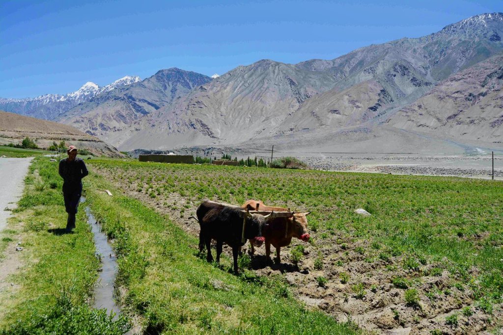
- Traditional Pamiri Villages: Along the way, you’ll pass through several villages where you can see traditional Pamiri houses and interact with the warm and hospitable locals.
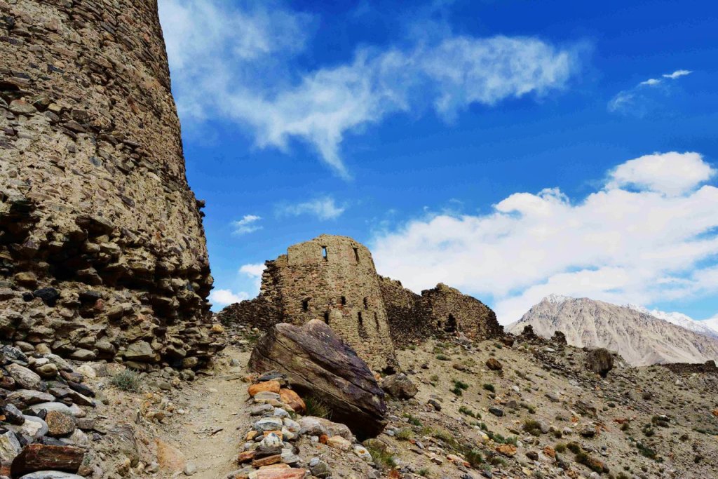
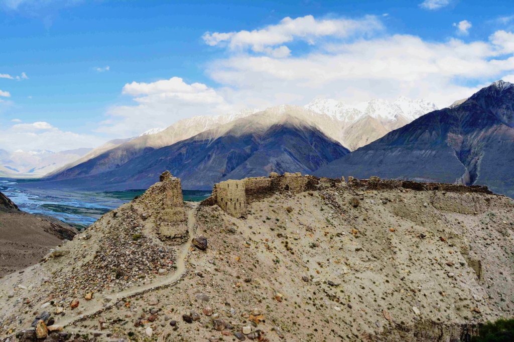
- · Yamchun Fortress: A striking ancient fortress perched on a hill overlooking the Wakhan Valley. It is believed to date back to the Kushan Empire and offers incredible views of the surrounding mountains.
- · Bibi Fatima Hot Springs: A natural hot spring revered for its healing properties and named after the daughter of the Prophet Muhammad. Visitors are provided with facilities for relaxing bathing.


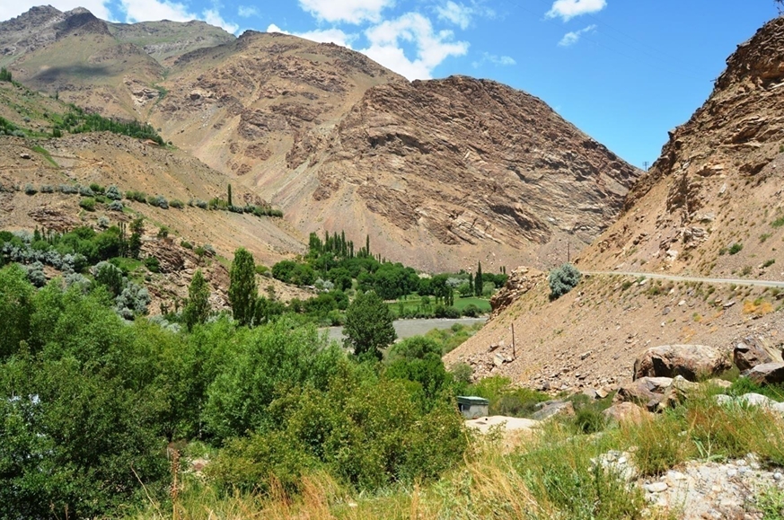
Day5. Ishkashim to Khorog (108km 5 hours exploring)
Kozide and Rushan: Charming villages with traditional Pamiri houses and friendly locals. These are great places to stop and observe the unique mountain wildlife and vibrant seasonal flowers along the way.
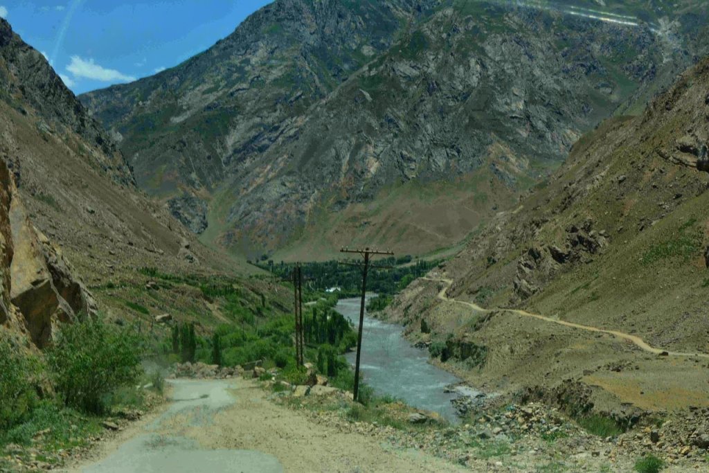
- Scenic drive: The road follows the Panj River, which forms the natural border between Tajikistan and Afghanistan.
- Views: See Afghan villages, suspension bridges and steep terraced fields on the far side.
- Photo stops: Plenty of opportunities to capture dramatic scenery and everyday life in the valley
- Before entering Khorog, one of the best mineral hot springs is Garm Chashma
- Natural hot springs: A popular stop along the route, located a short detour from the main road.
- Known for its mineral-rich waters, which are believed to have healing properties.
- Facilities for a relaxing bath.
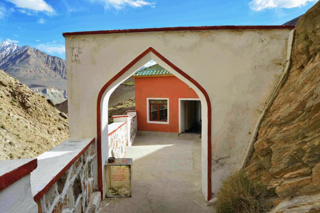
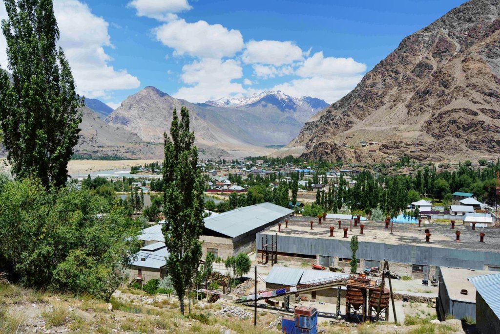
Arrival in Khorog
- The capital of Gorno-Badakhshan Autonomous Region and a hub for travelers exploring the Pamirs.
- Highlights: Khorog Botanical Garden: One of the highest botanical gardens in the world, offering stunning views of the city and mountains.
- Regional Museum: A great place to learn about Pamiri culture and history.
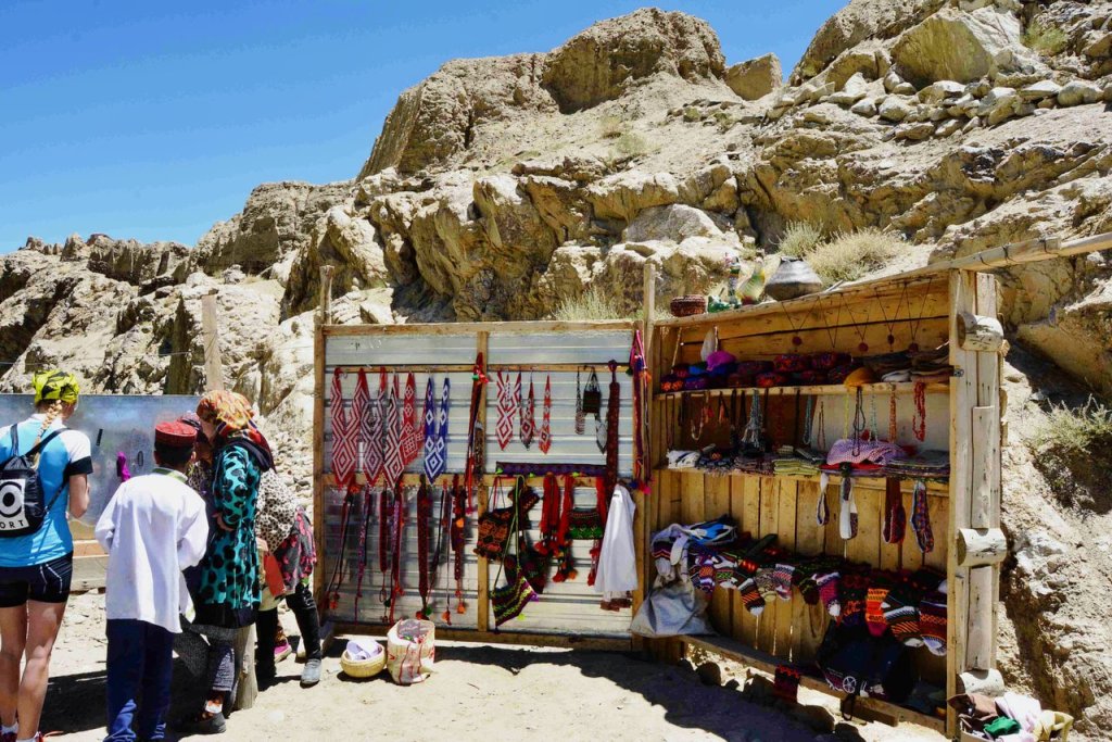
- Relax and enjoy local dishes by the Gunt River and a lot of hand-made souvenir shops amaze with their beauty.
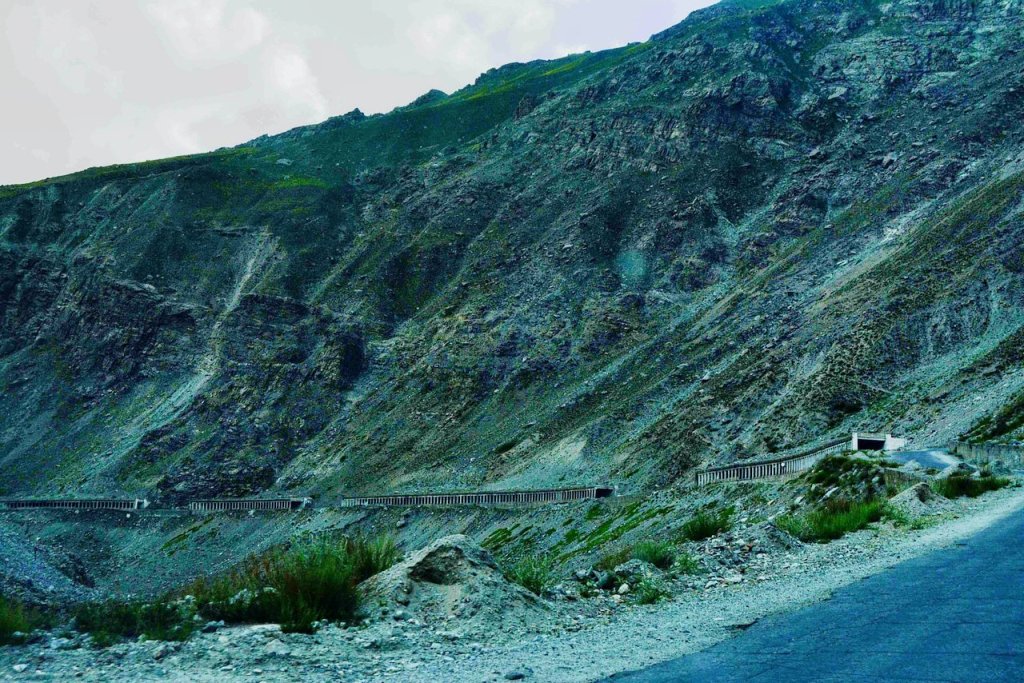
Day 7. Kalaikhum to Dushanbe (capital of Tajikistan) through Nurek reservoir (370km 8h)
You will travel along the natural border — the Pyanj River and along the border with Afghanistan. This part will amaze you with its unique mountains.
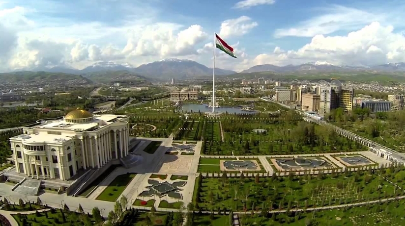
Dushanbe is the capital and largest city of Tajikistan. Dushanbe means Monday in the Tajik language. It was named so because it grew out of a village that originally had a popular market on Mondays.
In Dushanbe, there are 802 700 people (2016).
Height above sea level: 706 m (2,316 feet)
Climate: In summer, it is hot and dry, and winters are cold, but not very cold. On reaching Dushanbe, drive to hotel stay here. End of tour-service
Price for 2025
| number of people | 1 | 2 | 3 | 4 |
| price per person | 1500 | 750 | 500 | 375 |
- Included: transport including fuel with an English speaking driver, driver’s accommodation with meals and border fees for transport
- Not included: Your meals and accommodation, entrance fees to the site, GBAO permit and visa
Location:
Sary Mogol, village of Alaysky district, teacher 37
Contact us:
+996 556 092 627
