7 Days Jeep tour to Pamir from Osh
Embark on an unforgettable journey along the legendary Pamir Highway, one of the world’s most iconic and remote road trips. Known locally as the M41, this breathtaking route spans rugged landscapes, high-altitude passes, and vibrant cultures, weaving its way through the heart of Central Asia.
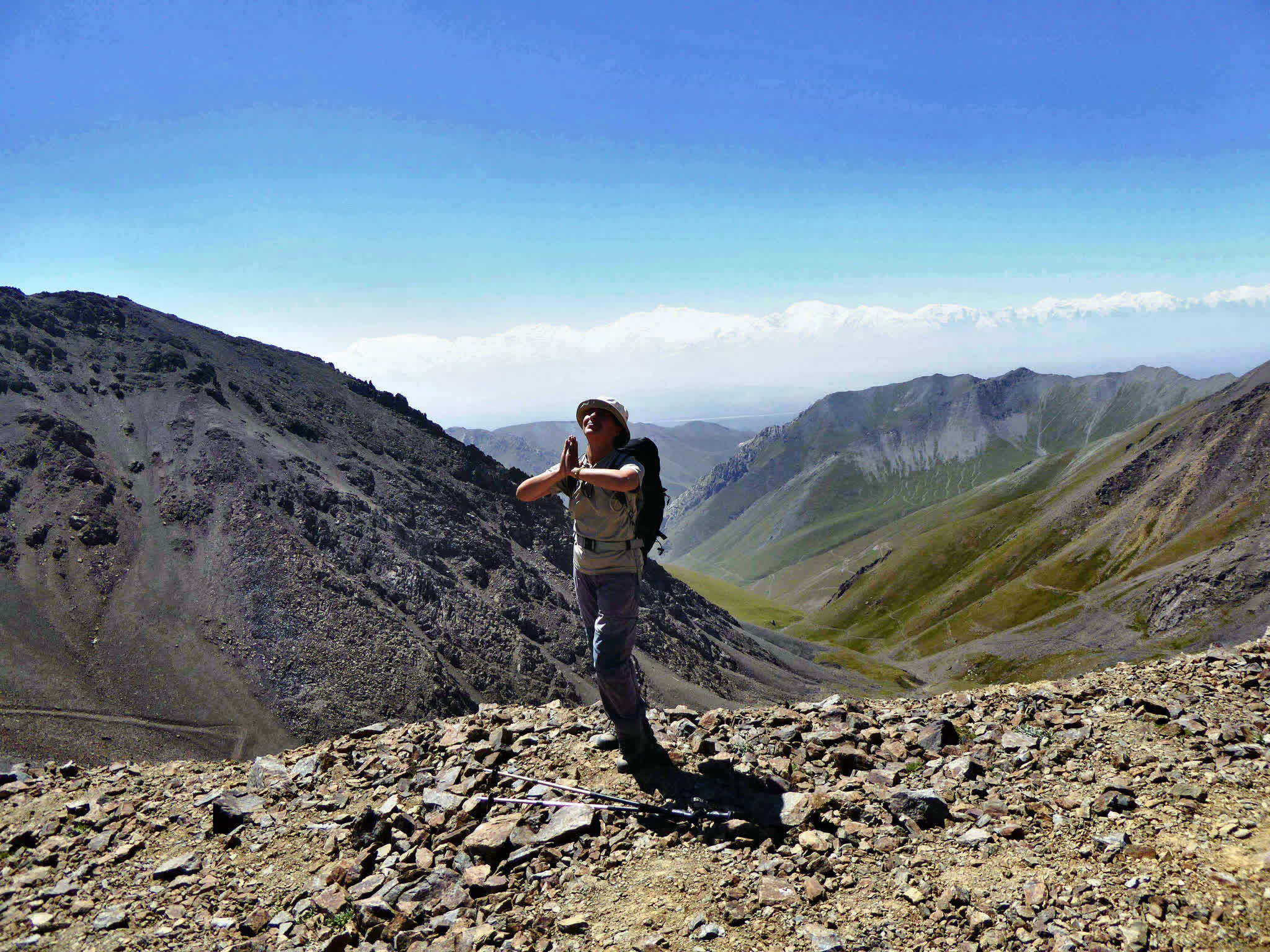
Our Pamir Highway tours take you from the green valleys of southern Kyrgyzstan through the dramatic peaks of the Pamirs, exploring ancient Silk Road towns, pristine alpine lakes, and traditional mountain villages. Experience the unique hospitality of the Pamiri people, visit historic caravanserais, and witness awe-inspiring views that stretch into the heavens.
Whether you’re a cyclist seeking a thrilling challenge, a motorbike enthusiast craving adventure, or a road trip lover eager to explore the “Roof of the World,” our expertly curated tours offer something for everyone.
| Destination |
Osh | Tulpar Kol | Sary-Tash | Sary-Mogol | Murgab (Tajikistan) | Bulunkul | Ishkashim | Khorog | Kalaikhum |
| Depature |
Yes Required |
| Departure Time |
Contact us for more information |
| Return Time |
Contact us for more information |
| Included |
- Transport including fuel with an English speaking driver.
- Driver’s accommodation with meals and border fees for transport.
|
| Excluded |
- Your meals and accommodation.
- Entrance fees to the site.
- GBAO permit and visa.
|
|
|
Accommodation is rounded up to $25-30 per person with meals in guesthouses and $50-70 in hotels (depending on the level).
Visa for many European citizens has been cancelled, you need to check on the tourist site of Tajikistan https://trektajikistan.com/entry-requirements-tajikistan/) and https://www.visahq.com/
GBAO permit cost $20-25 via the electronic site (sometimes there are problems with obtaining viathe site) and notification to department around 20$ per each.
If you do it through a travel agency, it will cost about $50 (Our company can issue a pass to GBAO ata lower price if you book a tour with us).
Details
1. Breathtaking Landscapes
- Towering peaks of the Pamir and Hindu Kush ranges.
- High-altitude plateaus, vast deserts, and lush valleys.
- Stunning views from the Ak-Baital Pass (4,655m), the highest point on the highway.
2. Cultural Encounters
- Warm hospitality of the Pamiri people.
- Traditional villages with unique stone houses and vibrant markets.
- Insights into the region’s rich history and heritage as part of the Silk Road.
3. Epic Landmarks
- Karakul Lake: A pristine alpine lake surrounded by snow-capped peaks.
- Wakhan Valley: Overlooking Afghanistan with ancient fortresses and hot springs.
- Langar Petroglyphs: Rock carvings dating back thousands of years.
4. Adventure and Exploration
- Crossing rugged mountain passes like Kyzyl Art Pass (4,280m).
- Off-the-beaten-path discoveries and remote, untouched nature.
5. Historical Significance
- Ancient caravanserais and Silk Road relics.
- Soviet-era monuments and architecture along the route.
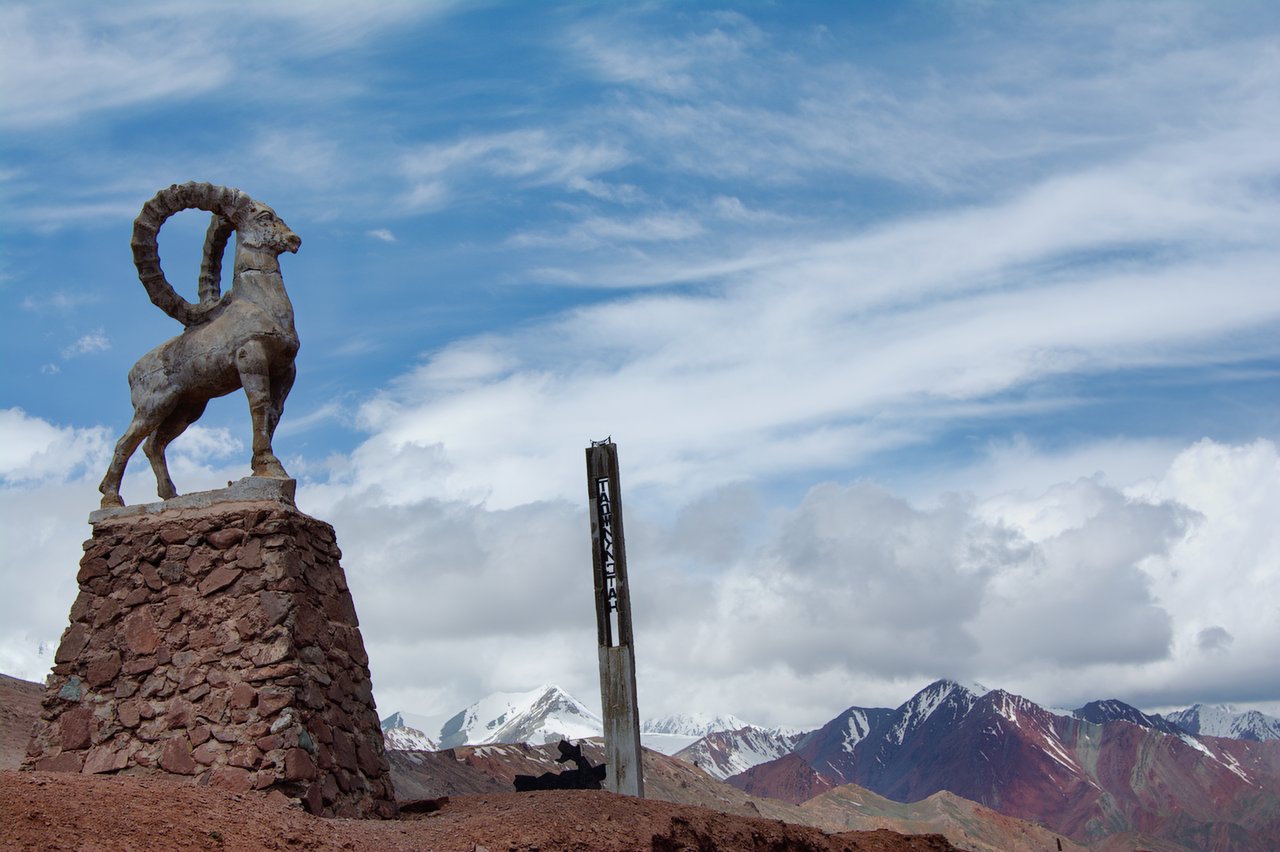
6. Stunning Wildlife
- Rare sightings of Marco Polo sheep, ibex, and snow leopards.
- Birdwatching in the alpine and desert ecosystems.
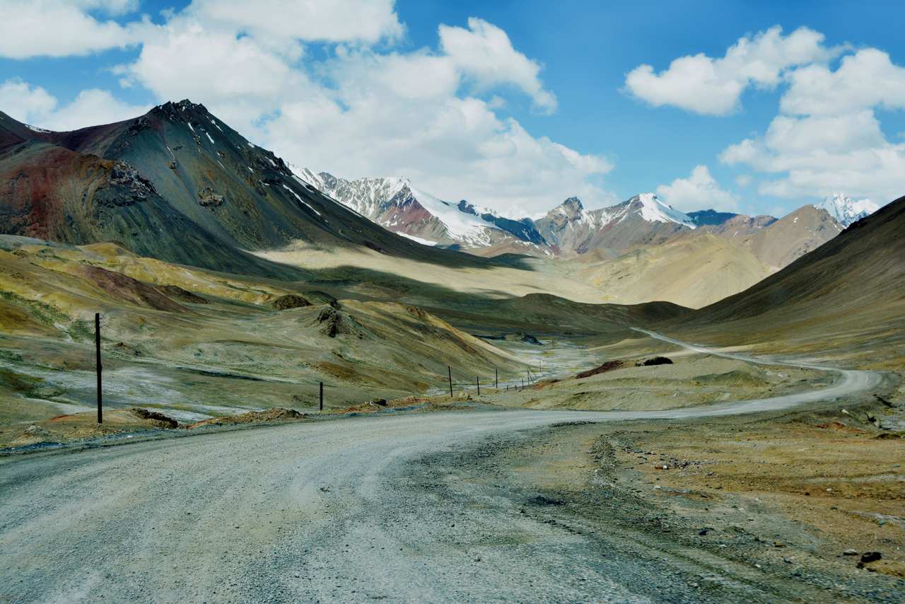
Total time: 6 hours.
Driving distance: 245km (4 hours).
Max Elevation: 3640 m (Taldyk Pass).
Min Elevation: 1000m (Osh).
Overnight at 3500m (Tulpar-Kol).
Tour category: easy.
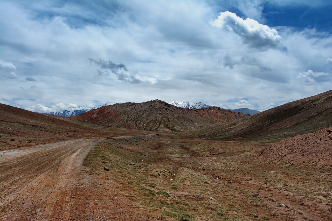
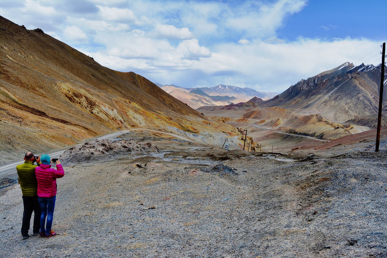
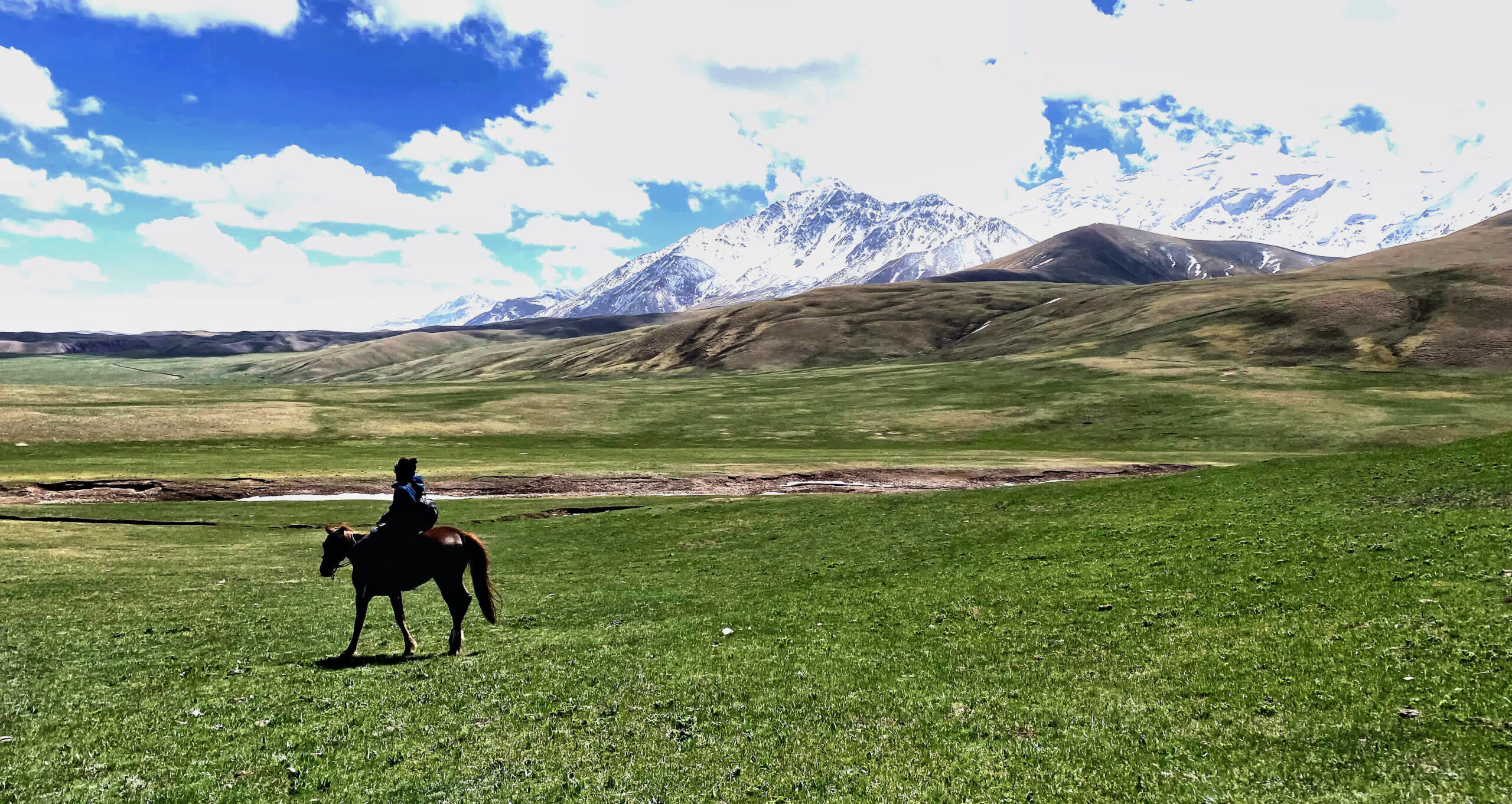
The road ascends gradually, revealing views of lush green valleys, distant mountains and small Kyrgyz villages. As you approach Sary-Tash, Sary-Mogol you will begin to see snow-capped peaks, including parts of the Pamir range and stunning views of the Alay Valley with Lenin Peak 7134m in the background.
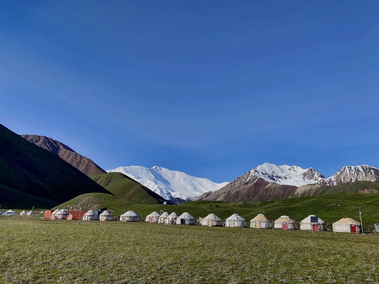
After arriving in Tulpar-Kol, you can see incredible landscapes of about 50 lakes among the hills, untouched nature and wild landscapes. the driver will take you directly to the yurt where you can have lunch. Afterwards, enjoy a walk through the surrounding area until sunset, admiring the best views of Lenin Peak.
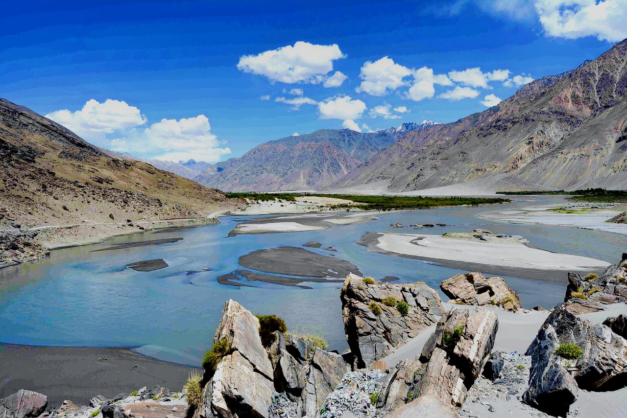
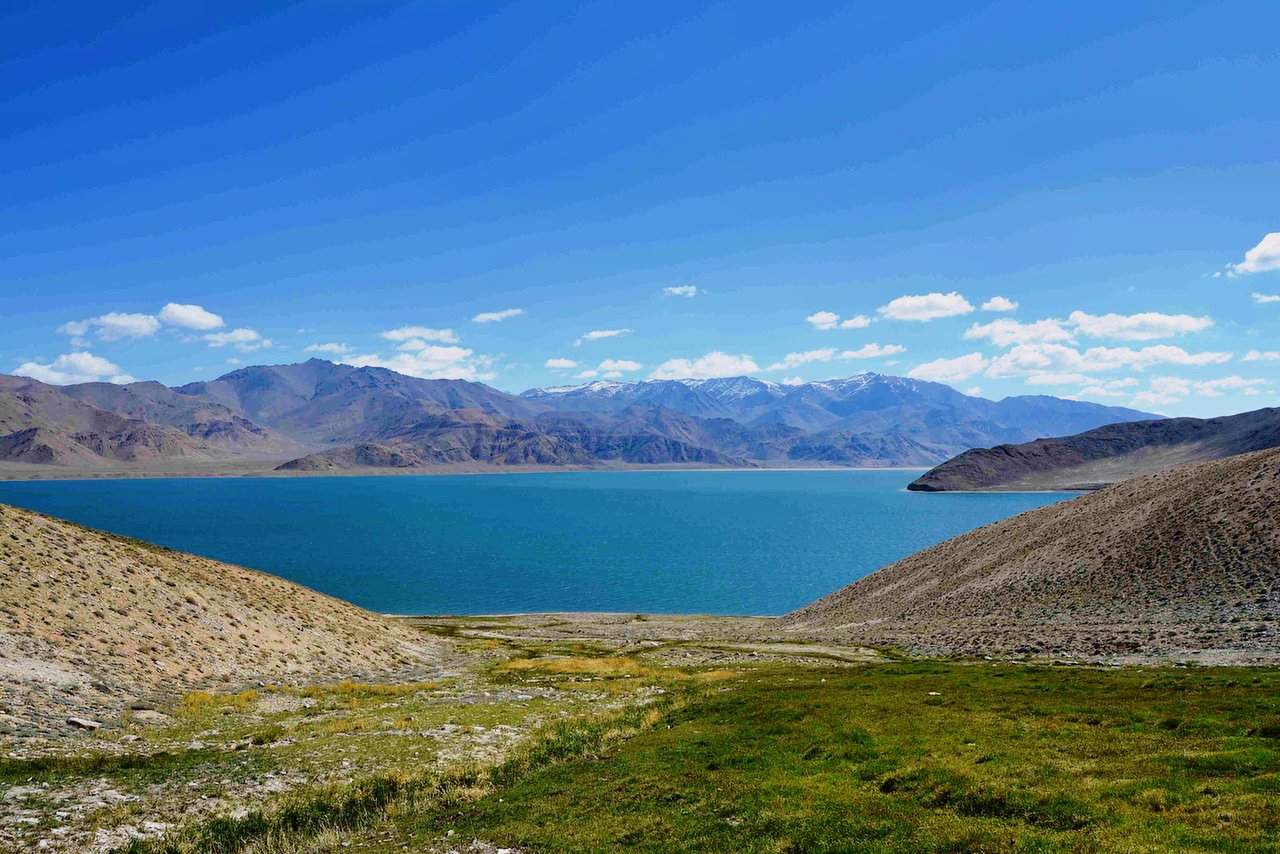
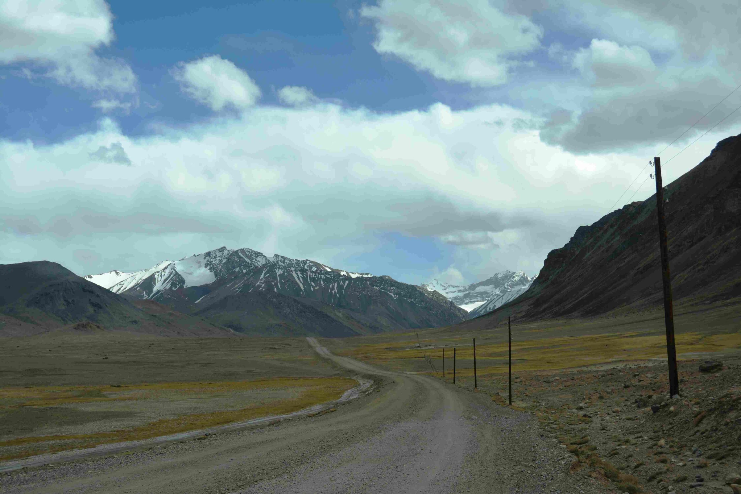
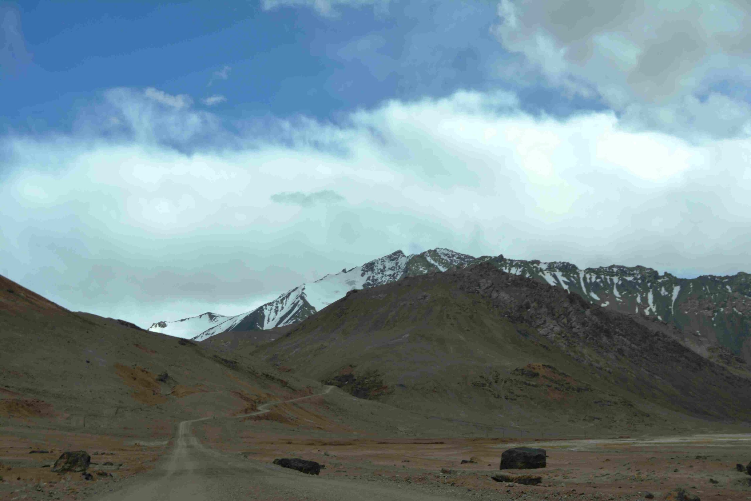
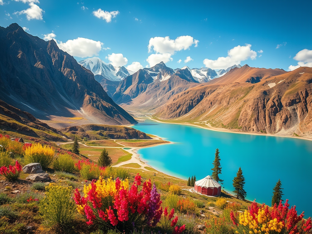
Today we drive to Tajikistan area with M41 high way. From Tulpar kol yurt camp to Murgab it takes whole day due to bad condition of the road. The road goes through the high mountains passes (Kyzyl-Art 4280m and Ak-Baital 4650m) most picturesque valley and amazing terrain, where one can stop for rest and shoot photos of the mountains. On the way in the small Kara Kol village you will stop for lunch and see the Kara Kol lake (Karakul is a 25-km diameter lake. It is located in the Tajik National Park in the Pamir Mountains.
- Height above sea level: 3,900 m
- Area: 380 km²
- Width: 25 km
- Maximum. depth: 230 m
Accommodation in Murgab. Murghob is the only significant town in the eastern half of Gorno Badakhshan. It is the highest town in Tajikistan at 3,650 meters above sea level.
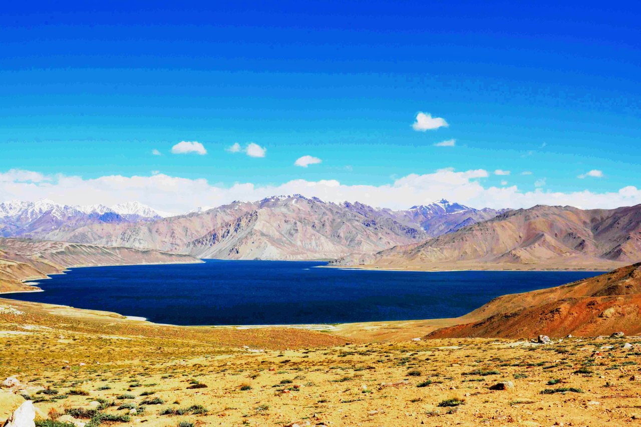
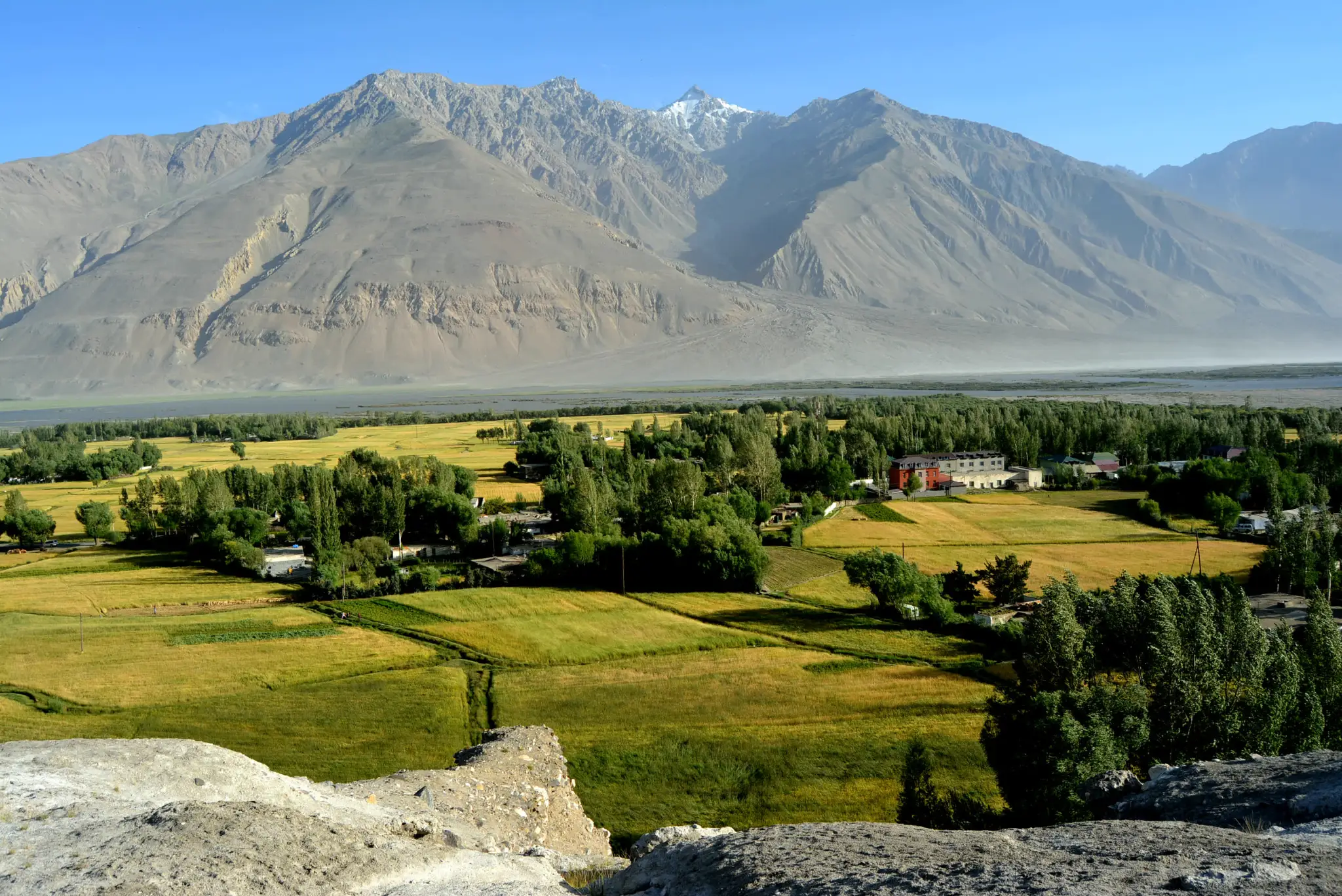
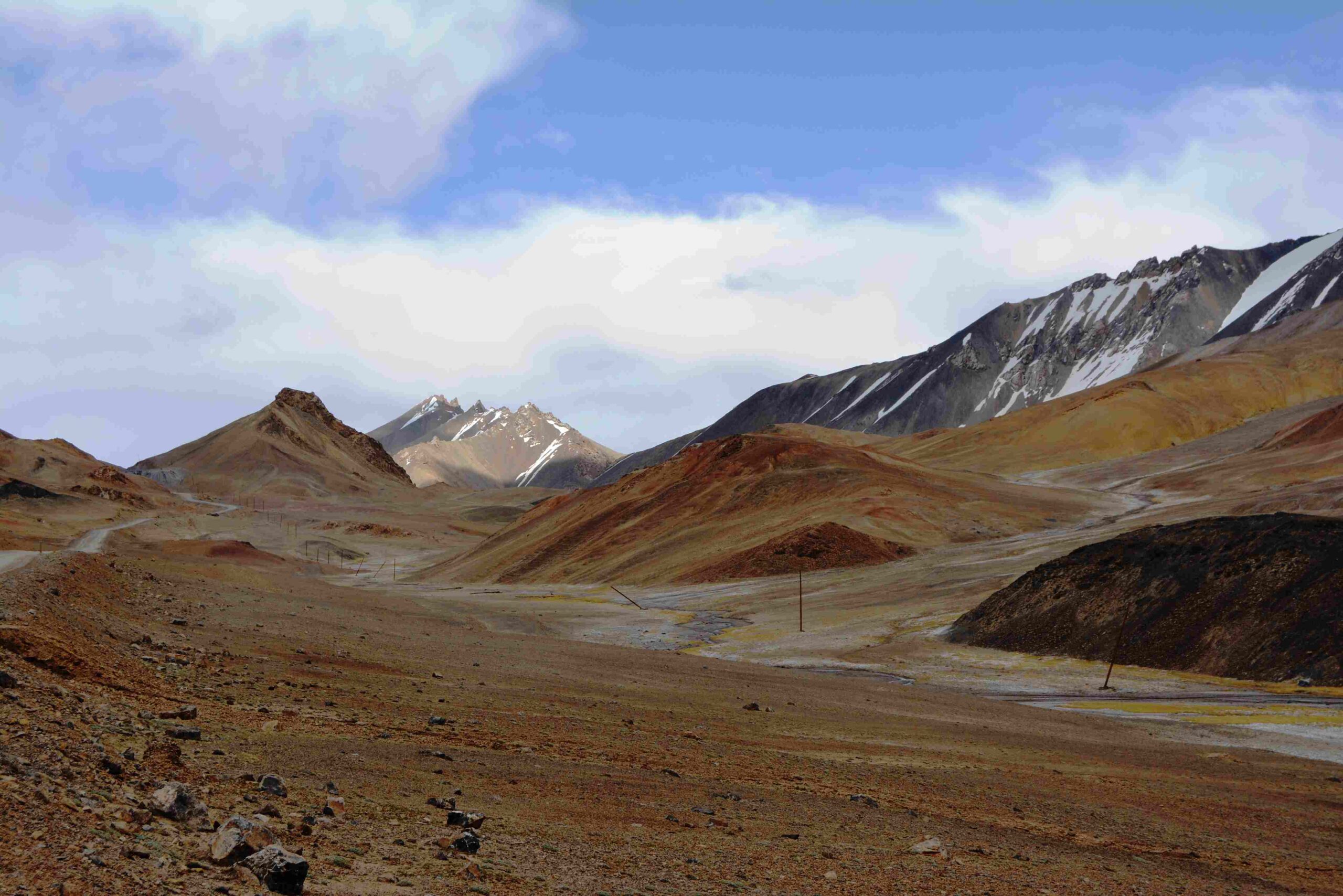
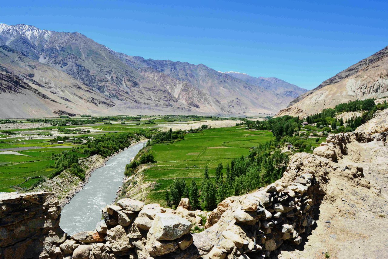
- Drive out from Murgab early morning, drive (140km 3h) to the lakes Yashilkul and Bulunkul which are located at an altitude of 3,914 meters (12,841 feet) in the Alichur valley, where the settlements of Tajik habitants. Continue driving until to Yashil-Kol lake (big one), short hiking around the lake afterwards drive for about 110 km along the Wakhan Valley of Pamir Highway. Arrive for accommodation in Langar. The night’s altitude is 3650m.
- Lake Yashilkul located at an elevation of 3,734 m above sea level has the following dimensions: surface area – 36 km2, length – about 22 km, maximal width – 4.5 km, maximal depth – 52 m. The water temperature never rises above +14°C.
The most interesting and enjoyable point of the Wakhan corridor is located along this route. the following attractions that you will see and pass.
Along the Wakhan Valley
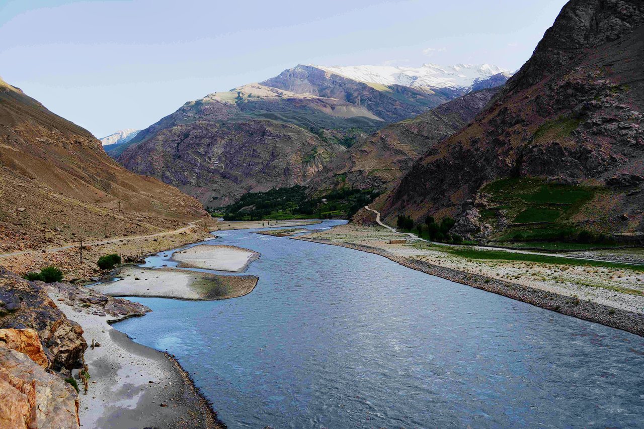
- Panj River Views: The road runs parallel to the Panj River, offering glimpses of Afghan villages, terraced fields, and rugged mountain scenery.
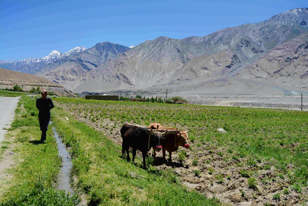
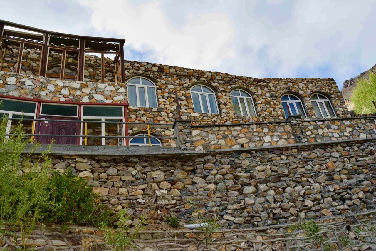
- Traditional Pamiri Villages: Along the way, you’ll pass through several villages where you can see traditional Pamiri houses and interact with the warm and hospitable locals.
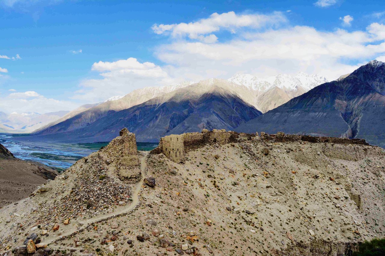
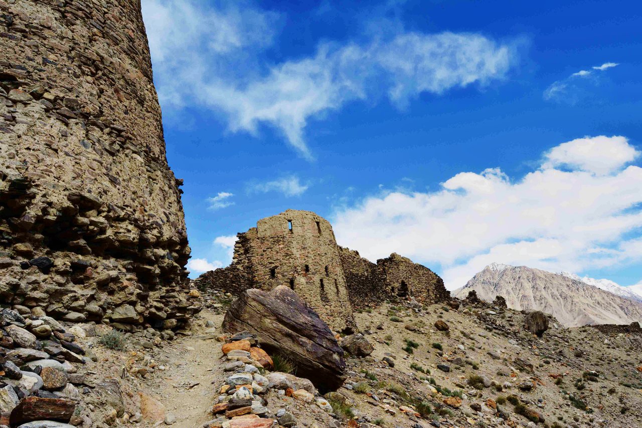
- Yamchun Fortress: A striking ancient fortress perched on a hill overlooking the Wakhan Valley. It is believed to date back to the Kushan Empire and offers incredible views of the surrounding mountains.
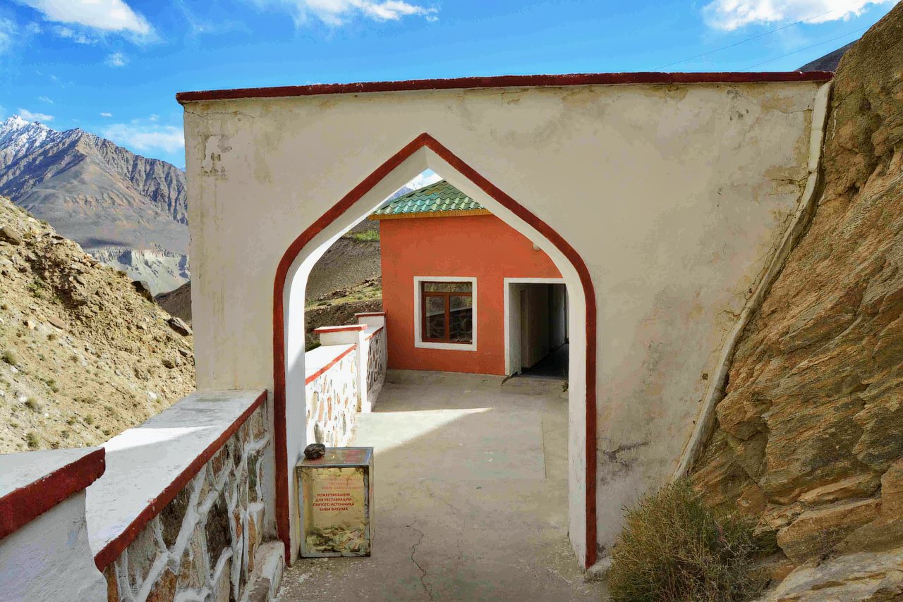
- Bibi Fatima Hot Springs: A natural hot spring revered for its healing properties and named after the daughter of the Prophet Muhammad. Visitors are provided with facilities for relaxing bathing.
Kozide and Rushan: Charming villages with traditional Pamiri houses and friendly locals. These are great places to stop and observe the unique mountain wildlife and vibrant seasonal flowers along the way.
- Scenic drive: The road follows the Panj River, which forms the natural border between Tajikistan and Afghanistan.
- Views: See Afghan villages, suspension bridges and steep terraced fields on the far side.
- Photo stops: Plenty of opportunities to capture dramatic scenery and everyday life in the valley.
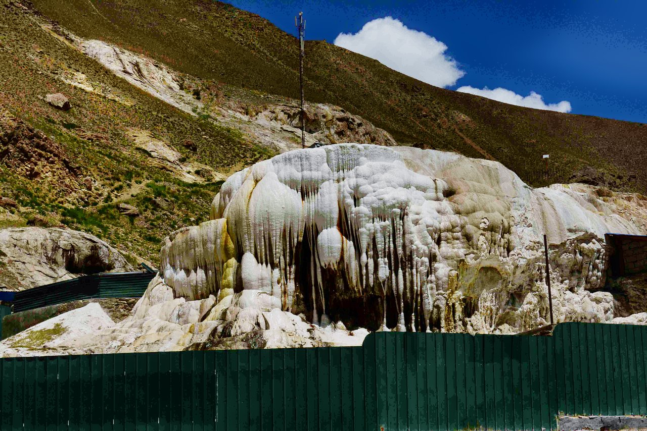
- Before entering Khorog, one of the best mineral hot springs is Garm Chashma.
- Natural hot springs: A popular stop along the route, located a short detour from the main road.
- Known for its mineral-rich waters, which are believed to have healing properties.
- Facilities for a relaxing bath.
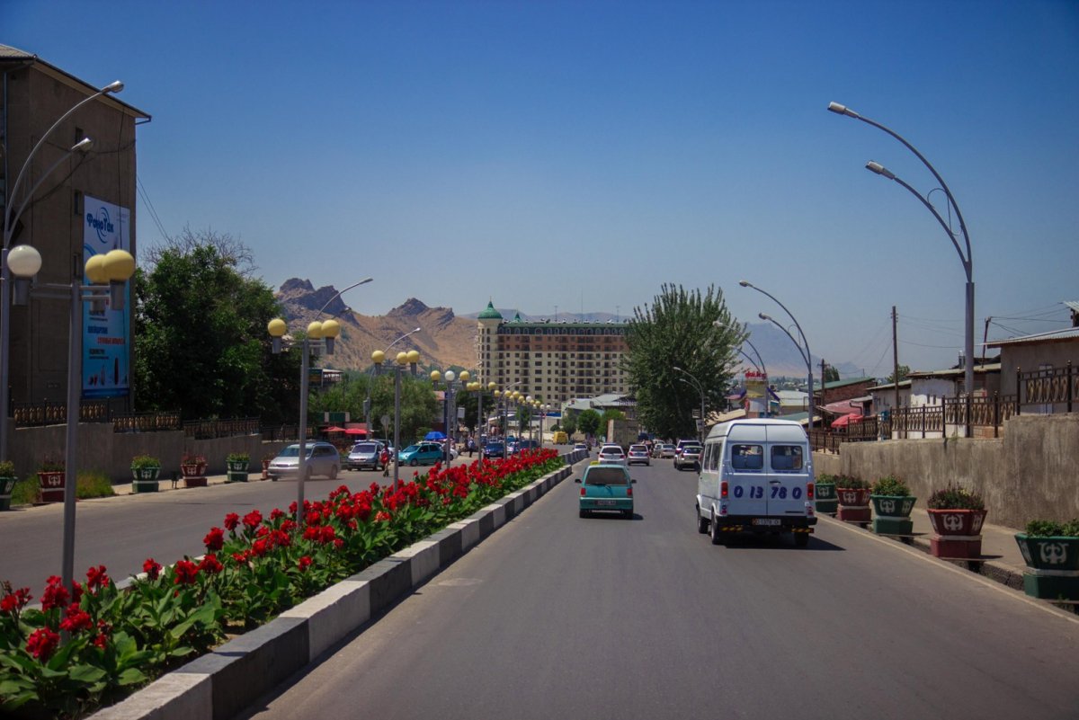
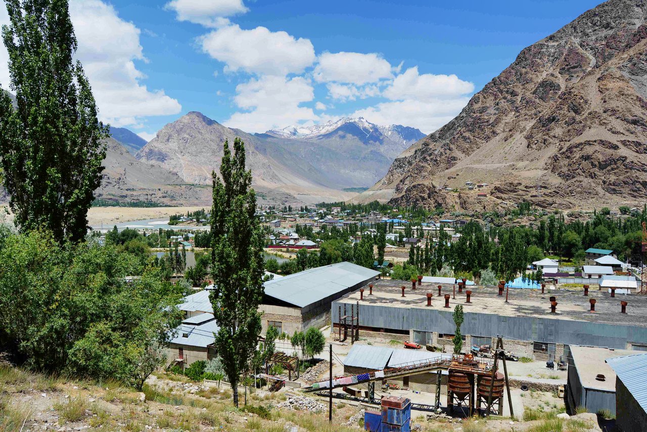
Arrival in Khorog
- The capital of Gorno-Badakhshan Autonomous Region and a hub for travelers exploring the Pamirs.
- Highlights: Khorog Botanical Garden: One of the highest botanical gardens in the world, offering stunning views of the city and mountains.
- Regional Museum: A great place to learn about Pamiri culture and history.
- Relax and enjoy local dishes by the Gunt River and a lot of hand-made souvenir shops amaze with their beauty.
If you choose not to visit Jizev, our route will continue from Khorog to Khalaikum. Along the way, you will be amazed by the sight of real mountaineers and Tajik families living on the slopes of the mountains and the Panj River offers constant views of Afghanistan.
Suspension bridges and narrow footpaths used by Afghan locals provide excellent photo opportunities.
Occasional sightings of Afghan caravans or traders on the other side.
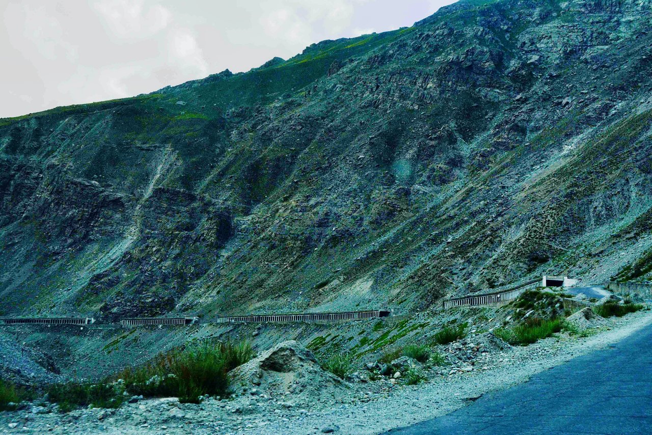
Due to bad condition road it's a long drive from Khorog to Kalaikhum.
Driving distance: 248km (154 miles).
Total time: 7 hours (excluding entertainment time).
highest point: 2150 meters (Khorog).
Lowest point: 1260 m (Khalaikhum).
Ascent and descent: 4000 and 4830 meters
Overnight at 1260.00 Meters | 4133.86 Feet (Khalaikhum).
Tour difficulty: moderate.
Communication: There is a signal (Tcell, Megafon and Beeline).
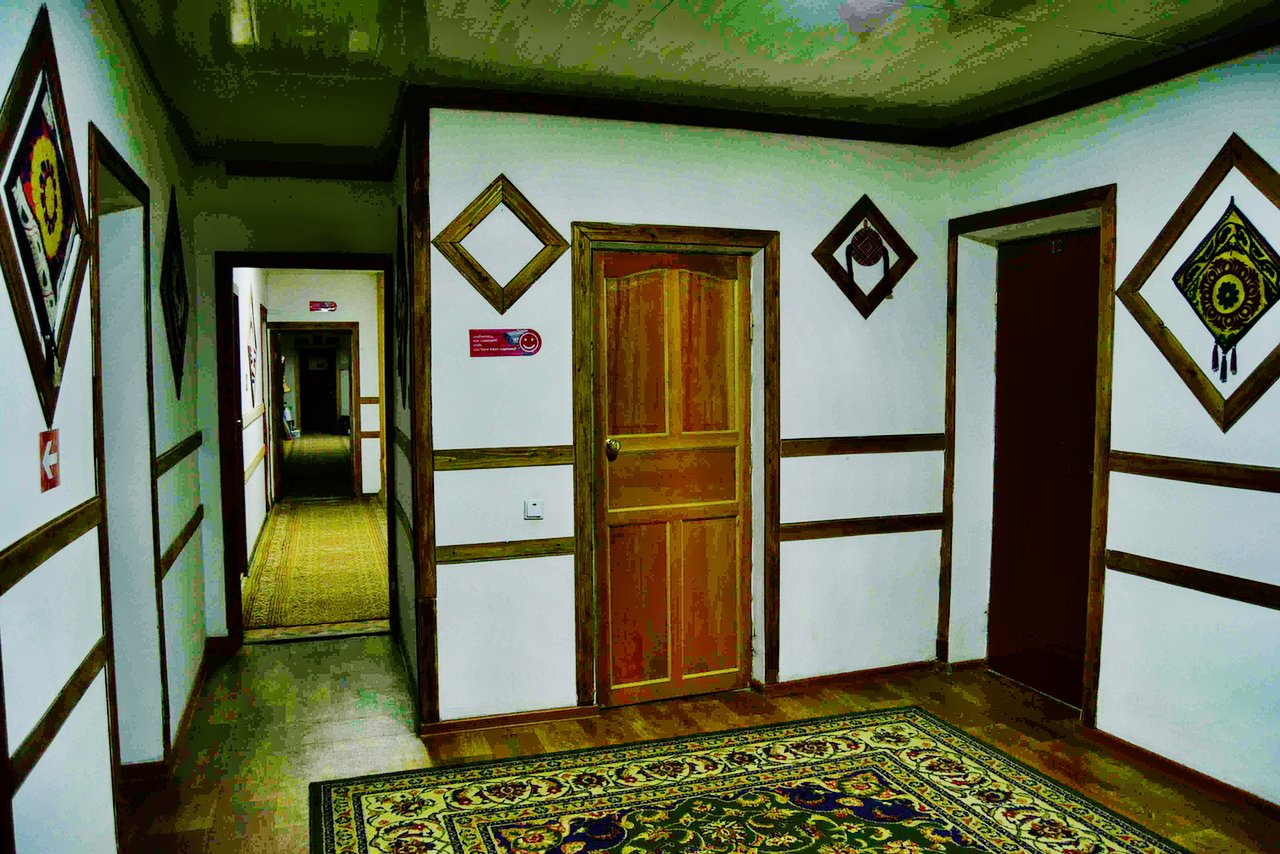
Accommodation type: guesthouse or hotel.
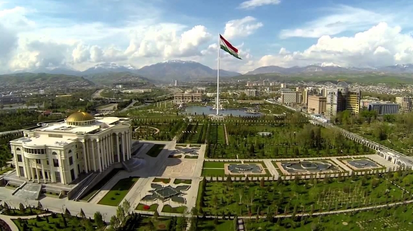
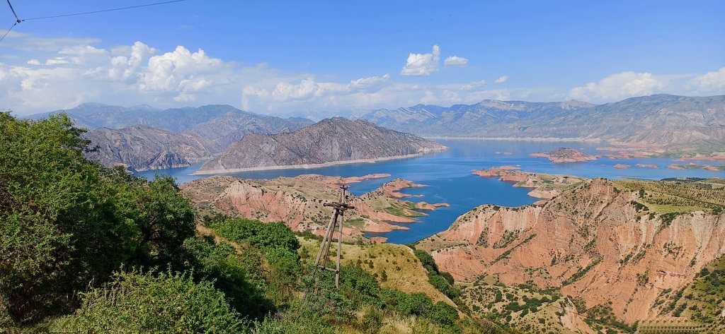
You will travel along the natural border - the Pyanj River and along the border with Afghanistan. This part will amaze you with its unique mountains. Dushanbe is the capital and largest city of Tajikistan. Dushanbe means Monday in the Tajik. language. It was named so because it grew out of a village that originally had a popular market on Mondays. In Dushanbe, there are 802 700 people (2016). Height above sea level: 706 m (2,316 feet) Climate: In summer, it is hot and dry, and winters are cold, but not very cold. On reaching Dushanbe, drive to hotel stay here. End of tour-service.
Driving distance: 300km (217miles).
Total time: 6 hours (excluding entertainment time).
highest point: 2030 meters.
Lowest point: 466 m (Mehrobot).
Ascent and descent: 5220 and 5700 meters.
Overnight Altitude: at 700 meters / 2,297 feet (Dushnabe).
Tour difficulty: moderate.
Communication: There is a signal (Tcell, Megafon and Beeline).
Accommodation type: guesthouse or hotel.


![IMG-20231106-WA0009[1]](https://alaytravelguide.com/wp-content/uploads/2026/05/IMG-20231106-WA00091.jpg)
Write Your Review