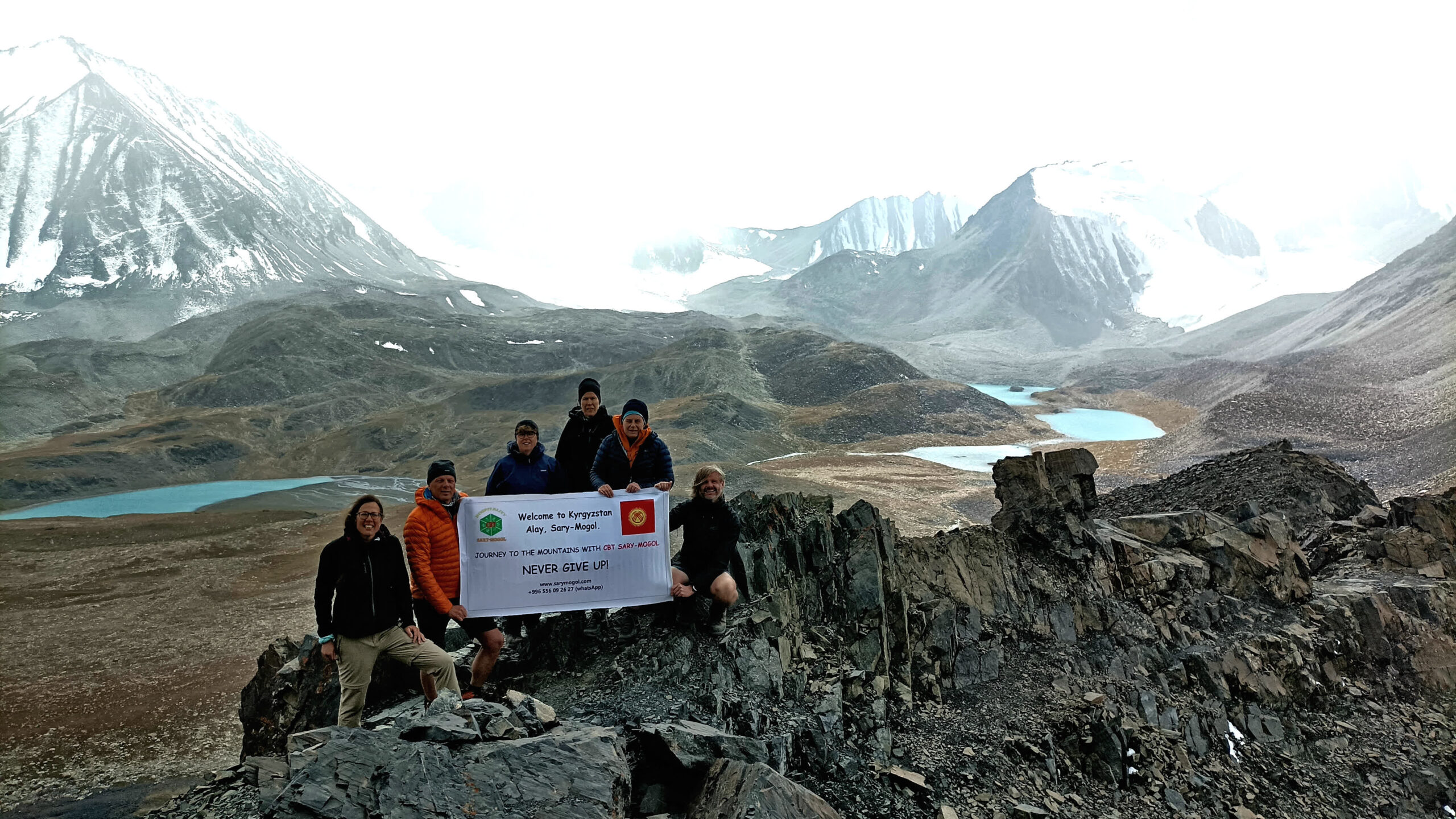
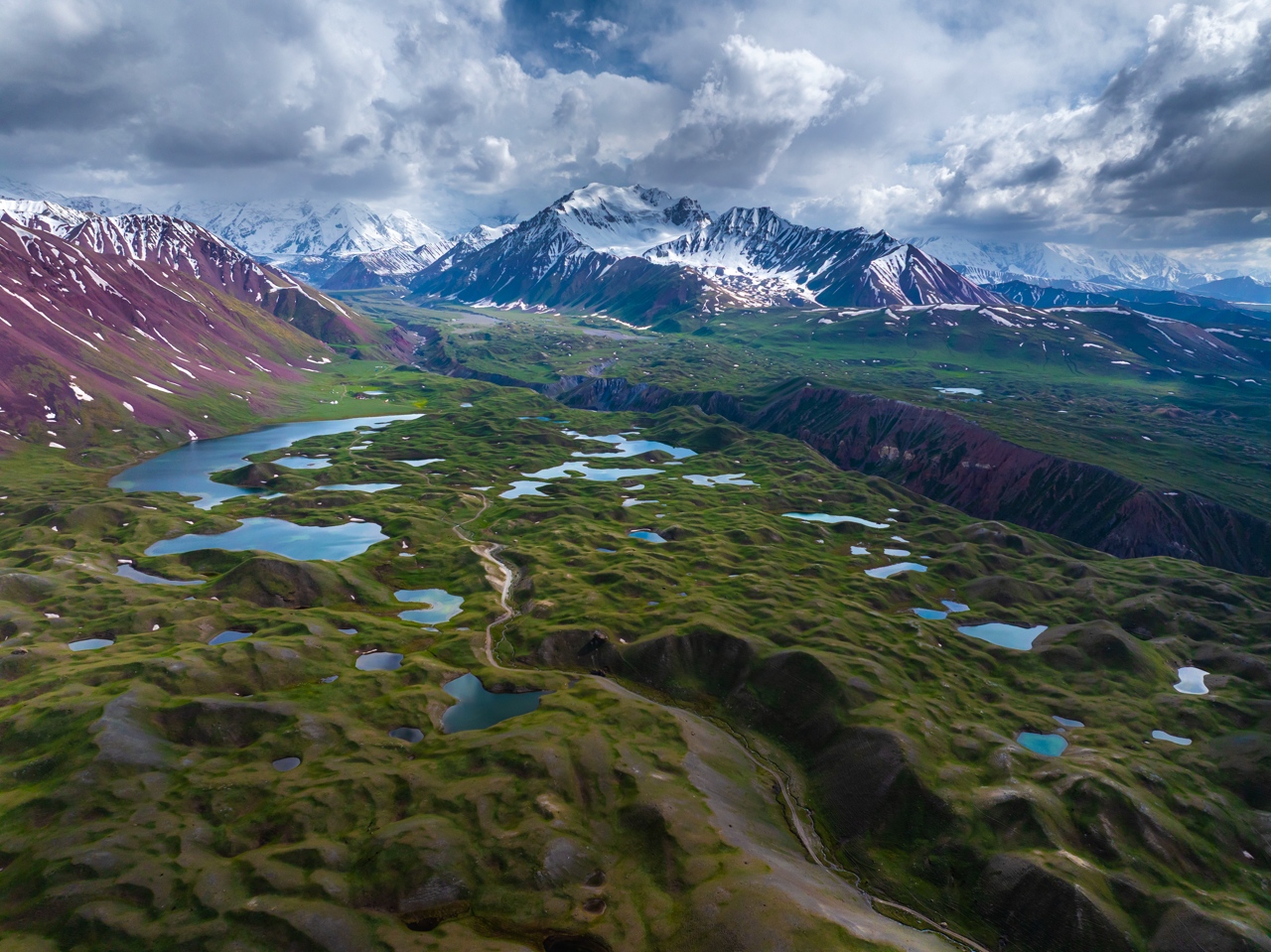
Experience the stunning beauty of southern Kyrgyzstan through mountain gorges, alpine lakes, and traditional yurt camps.
Important Information for Tourists:
Transport Information
For groups of 1–4 people, one vehicle is provided.
If the group size is 5–7 people, we can arrange a minivan.
If the group is more than 7 people, we will organize either:
In this case, please contact us in advance so we can coordinate the most comfortable and safe transport
option together.
🎒 Personal Equipment – What to Bring
Mountain weather in Kyrgyzstan is unpredictable, even in summer.
Essential items:
Although we trek in summer (June–September), during the daytime it can be very hot. Therefore, you
should also bring:
Water bottle:
Bring a lightweight 1-liter soft bottle, hydration bladder, or light plastic bottle.
Medicine:
Personal first aid kit, including medication for:
| Destination | Osh | Kara-Koi National Park | Chogom Village | Kojo-Kelen Village | Kosh-Moinok | Kok-Kiya | Sary-Bel Pass | Sary-Mogol Pass yurt stay | Tulpar-Kol Lake (Lenin Peak region) | Peak Yukhin |
|---|---|
| Depature | Yes Required |
| Departure Time | Contact us for more information |
| Return Time | Contact us for more information |
| Included |
|
|
What to Bring: |
|
 |
|
Price:
| Number of tourists | 1 | 2 | 3 | 4 | |||||
|---|---|---|---|---|---|---|---|---|---|
| Price in USD Dollar for the group | $2040 | $2490 | $2960 | $3615 |
Electricity & Charging. In remote trekking areas and yurt camps, electricity may not always be available. We recommend bringing:
Distance: 70 km | 🕐 Driving Time: 2 hours | ⛰️ Altitude: 1400 m
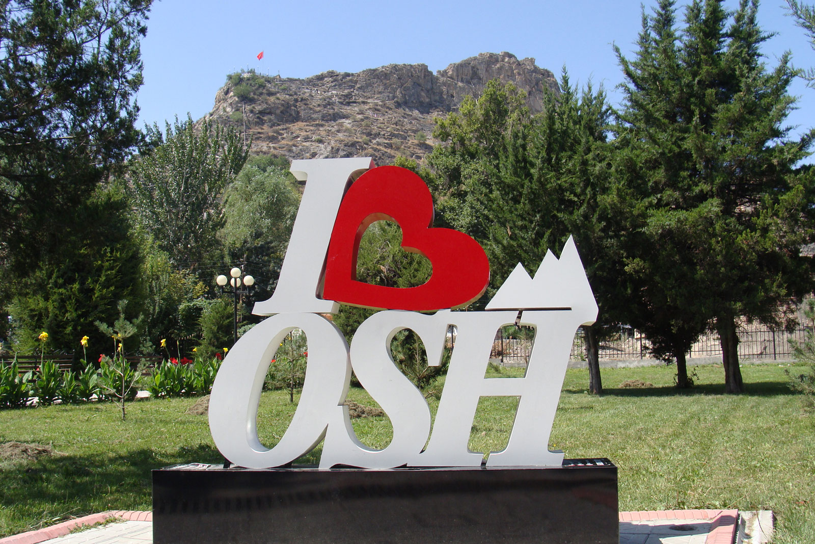
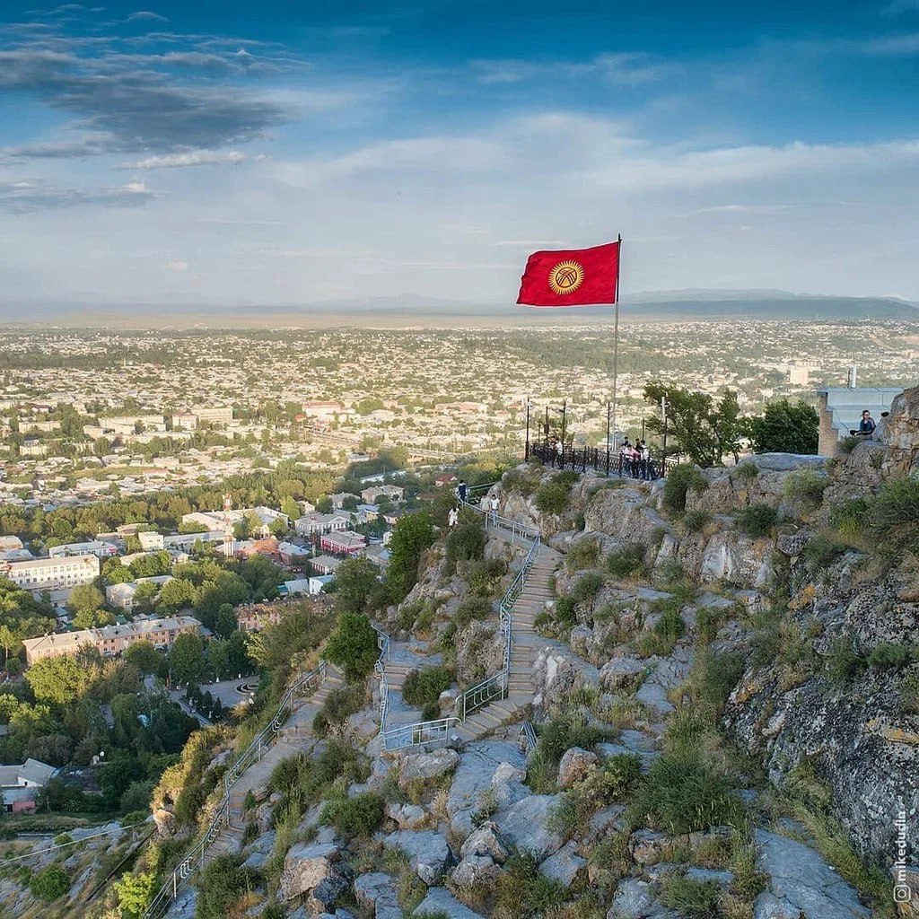
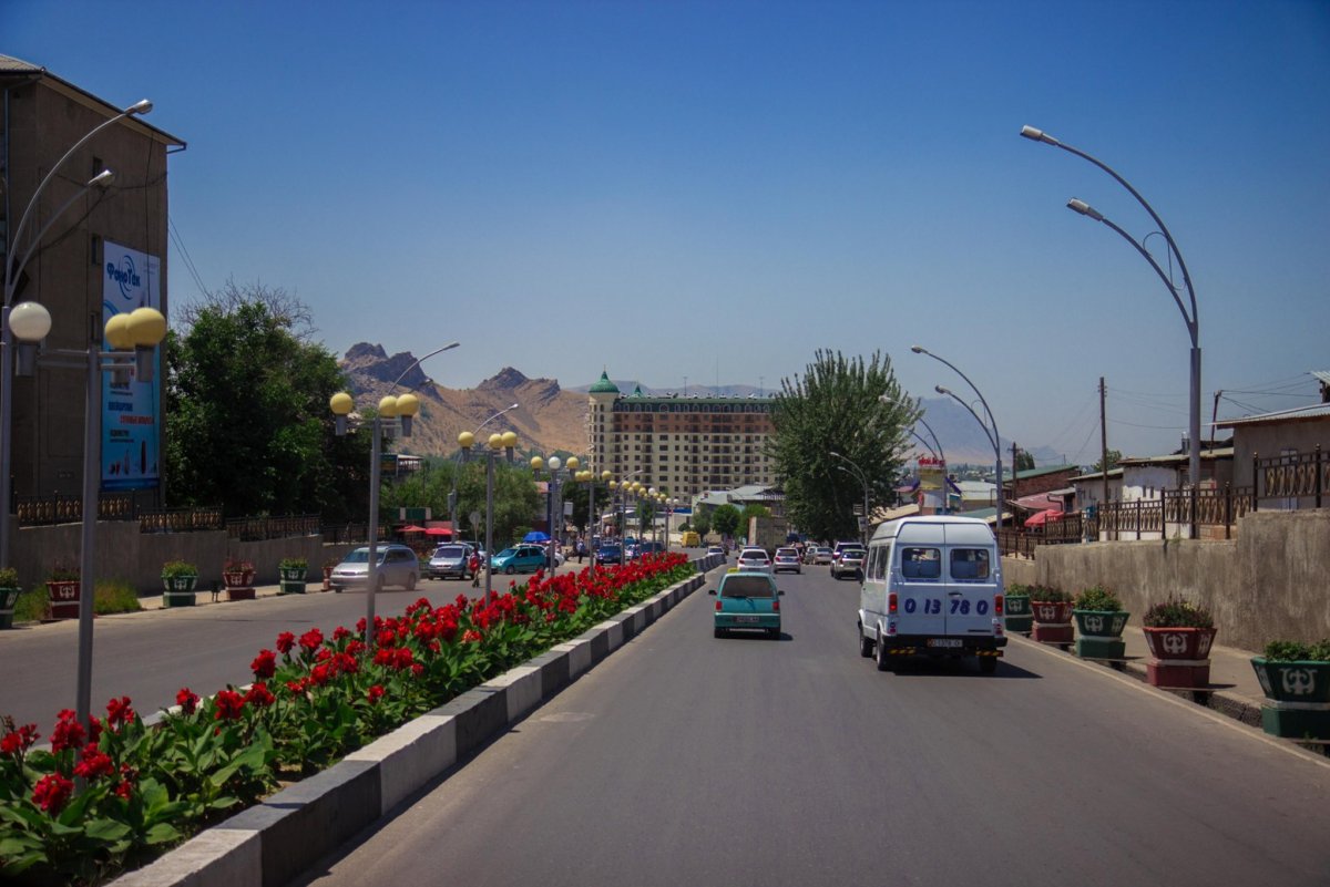
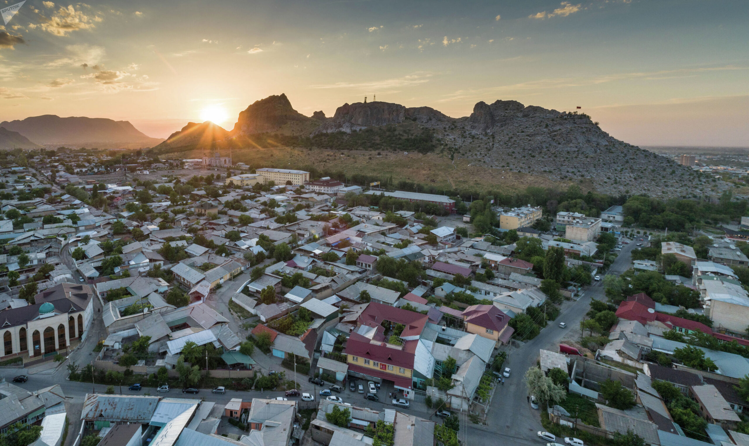
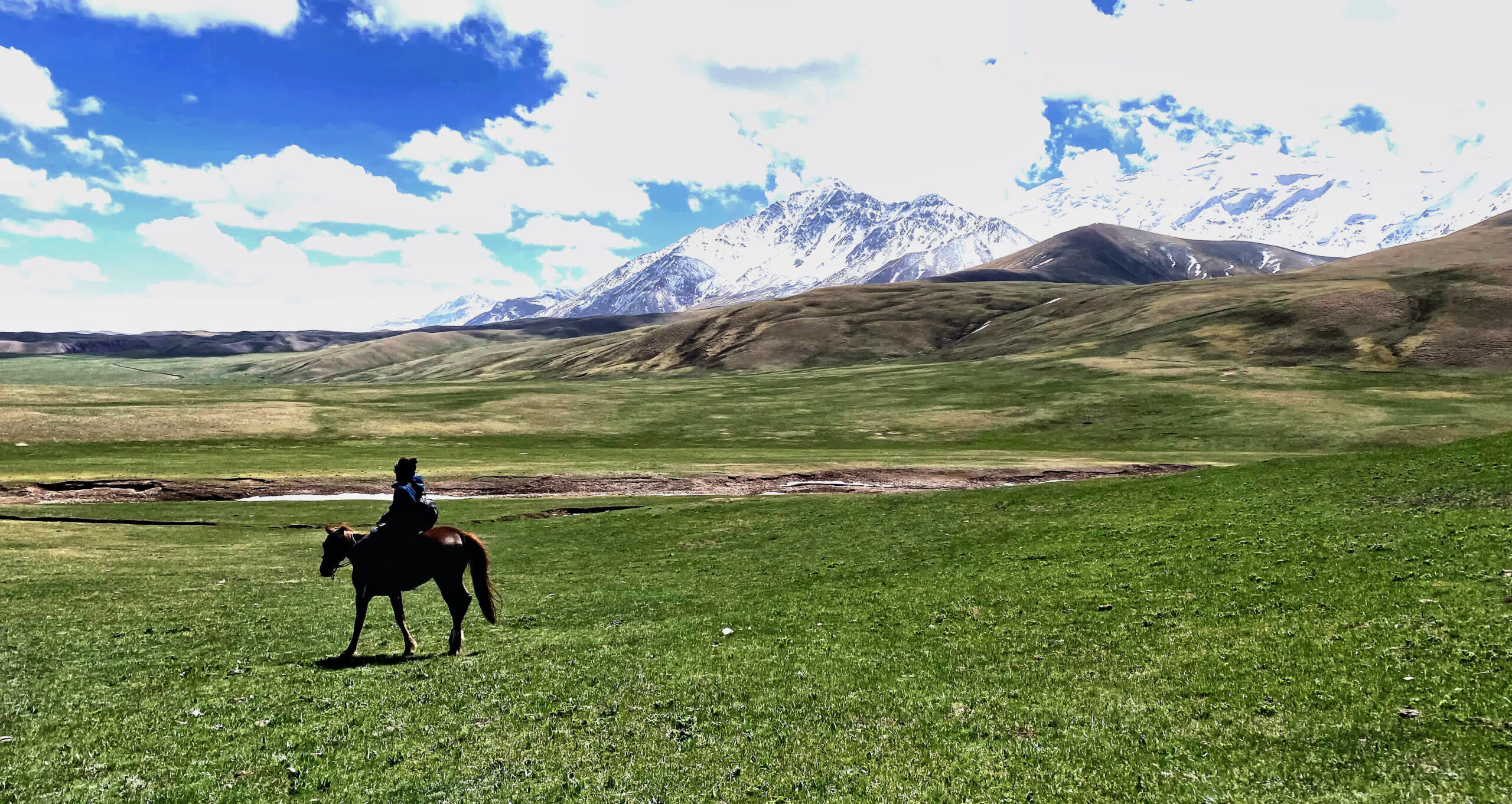
Depart from Osh and drive to Kara-Koi, a national park known for its untouched mountain landscapes and fresh alpine air. After arrival, enjoy a short hike through the scenic gorge surrounded by pine trees and towering peaks. It’s a perfect introduction to Kyrgyzstan’s natural beauty.
🛏️ Accommodation: Yurt camp.
🍽️ Meals: Breakfast, lunch, and dinner included (served in the yurt).
Hiking Distance: 20 km | 🕐 Time: 6 hours | ⛰️ Altitude: from 1400 m to 3860 m pass, down to 1800 m
Transfer to the starting point of the trek, then continue hiking to Kumbel Pass (3860 m) and cross it. After the descent, we reach the riverbank. If anyone feels tired, there is an option to continue to Chogom village by car, as the full route is 20 km from the starting point to Chogom village.
Night is spent in a homestay with a local family, or you may choose to camp in a tent near their home. Meals will be provided by the host, as there are no official guesthouses in this settlement. The altitude is approximately 1800 meters.
Driving + Hiking | ⛰️ Altitude: 2230 m.
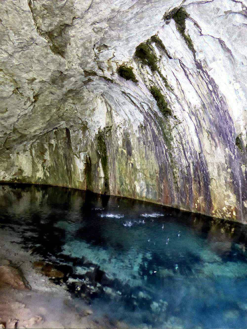
As the road is dirty and suitable for vehicle. After breakfast, transfer to the colorful village of Kojo-Kelen, nestled in red sandstone cliffs. After lunch in the guesthouse, enjoy a scenic walk to the Blue Cave, waterfall, and rocky pools. Optional: hike through the village for 1–3 hours, engaging with local life.
🛏️ Accommodation: Homestay.
🍽️ Meals: Full board at the guesthouse.
Hiking Distance: ~14 km | 🕐 Time: 5–6 hours | ⛰️ Altitude: 2800 m.
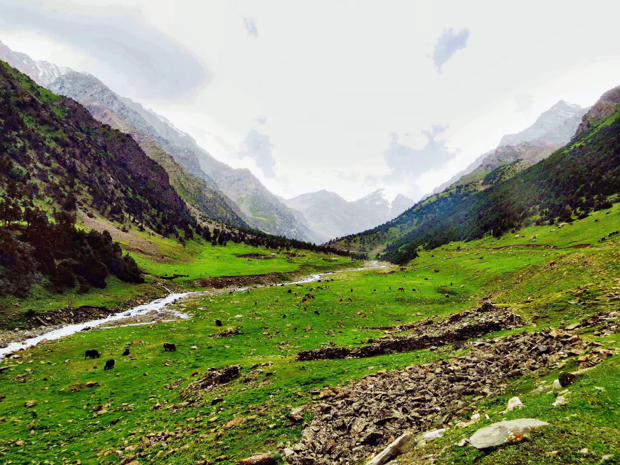
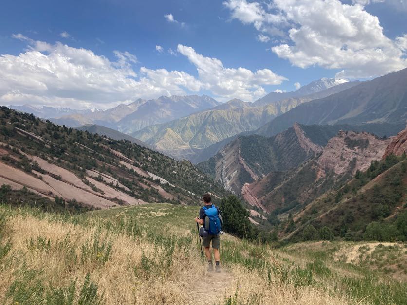
Today’s route takes you from Kojo-Kelen village to Kosh-Moinok yurt camp, passing through the Kok-Kiya and Sary-Bel mountain passes. The elevation of the highest point today is 3,150 meters above sea level.
The walk can be challenging, especially for those who are not yet acclimatized to the altitude, so patience is important. However, the effort is rewarded with magnificent panoramic views and the peaceful beauty of the surrounding landscape.
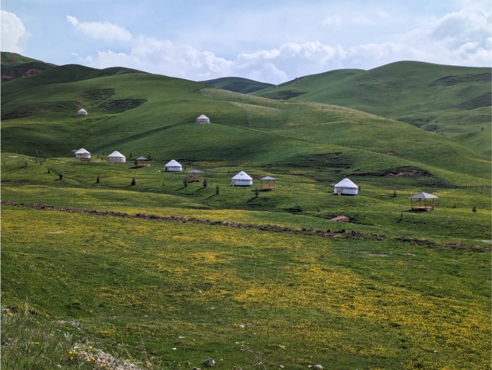
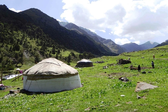
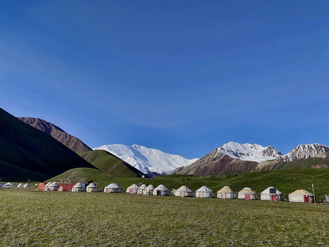
After approximately five to six hours of hiking, you will reach a traditional yurt camp hosted by a local named Nurdoolot. The camp is beautifully located next to a clear mountain river in Kosh-Moinok at an altitude of 2,800 meters above sea level.
Hiking Distance: ~10–12 km | 🕐 Time: 6–7 hours | ⛰️ Altitude: 3500 m.
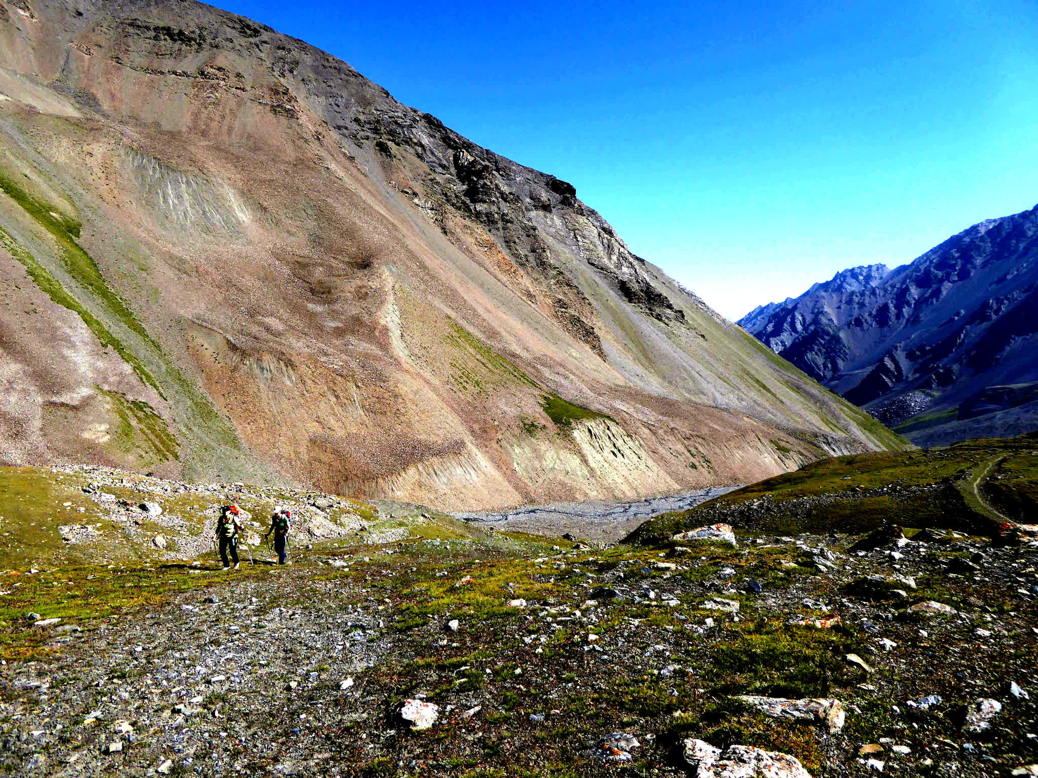
Today’s walk is a gradual ascent towards the base of Sary-Mogol Pass. The trail climbs steadily, and after the previous days of hiking, most travelers find it manageable despite the altitude gain.
The path leads through wide-open highland meadows and scenic views of the surrounding peaks. It is a peaceful and quiet area, ideal for preparing physically and mentally for the next day’s challenging pass.
The yurt camp for the night is located close to the pass at an altitude of 3,500 meters above sea level. This traditional camp offers a warm and authentic mountain experience under the stars.
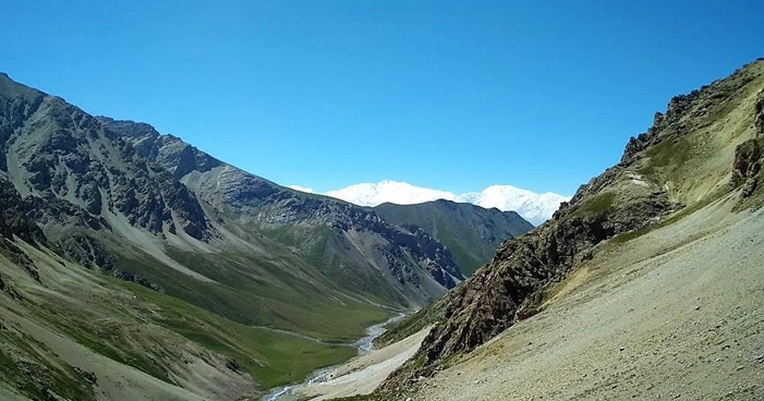
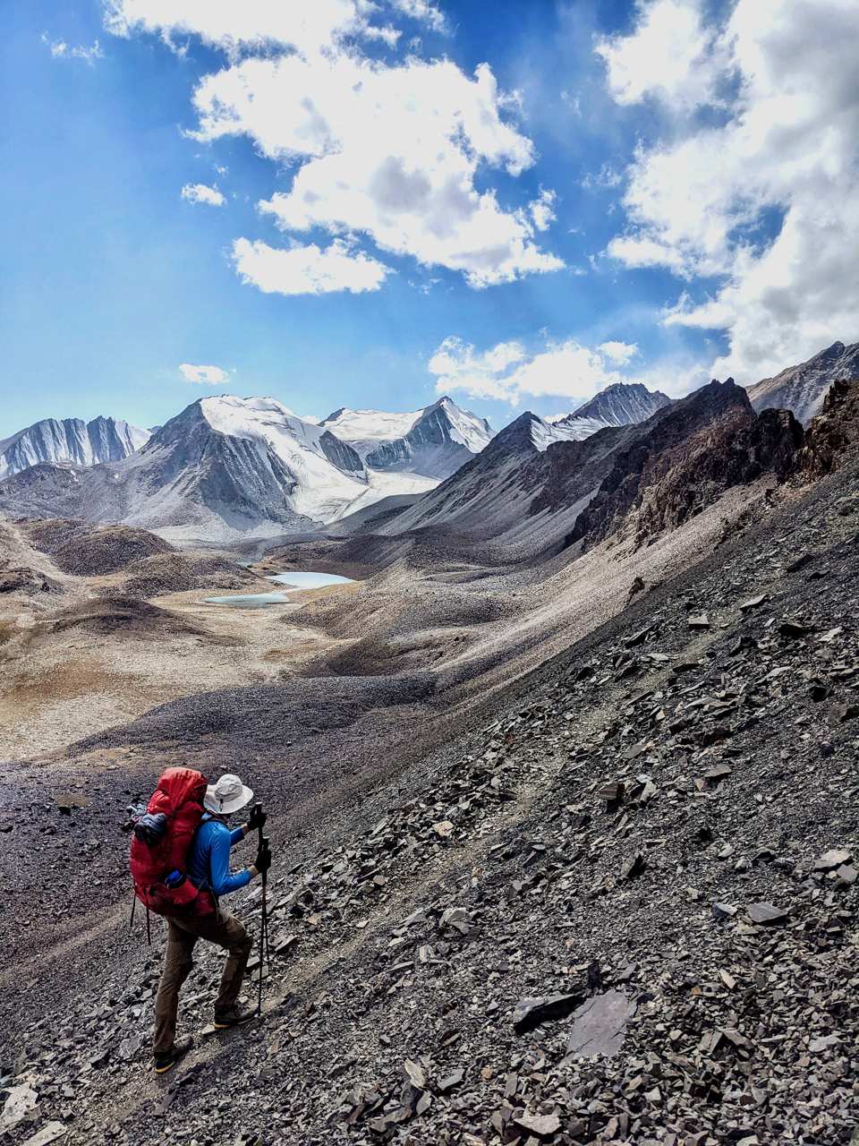
Hiking Distance: ~10 km | 🕐 Time: 6–7 hours | ⛰️ Altitude: from 3500 m up to 4280 m, then down to 2900 m.
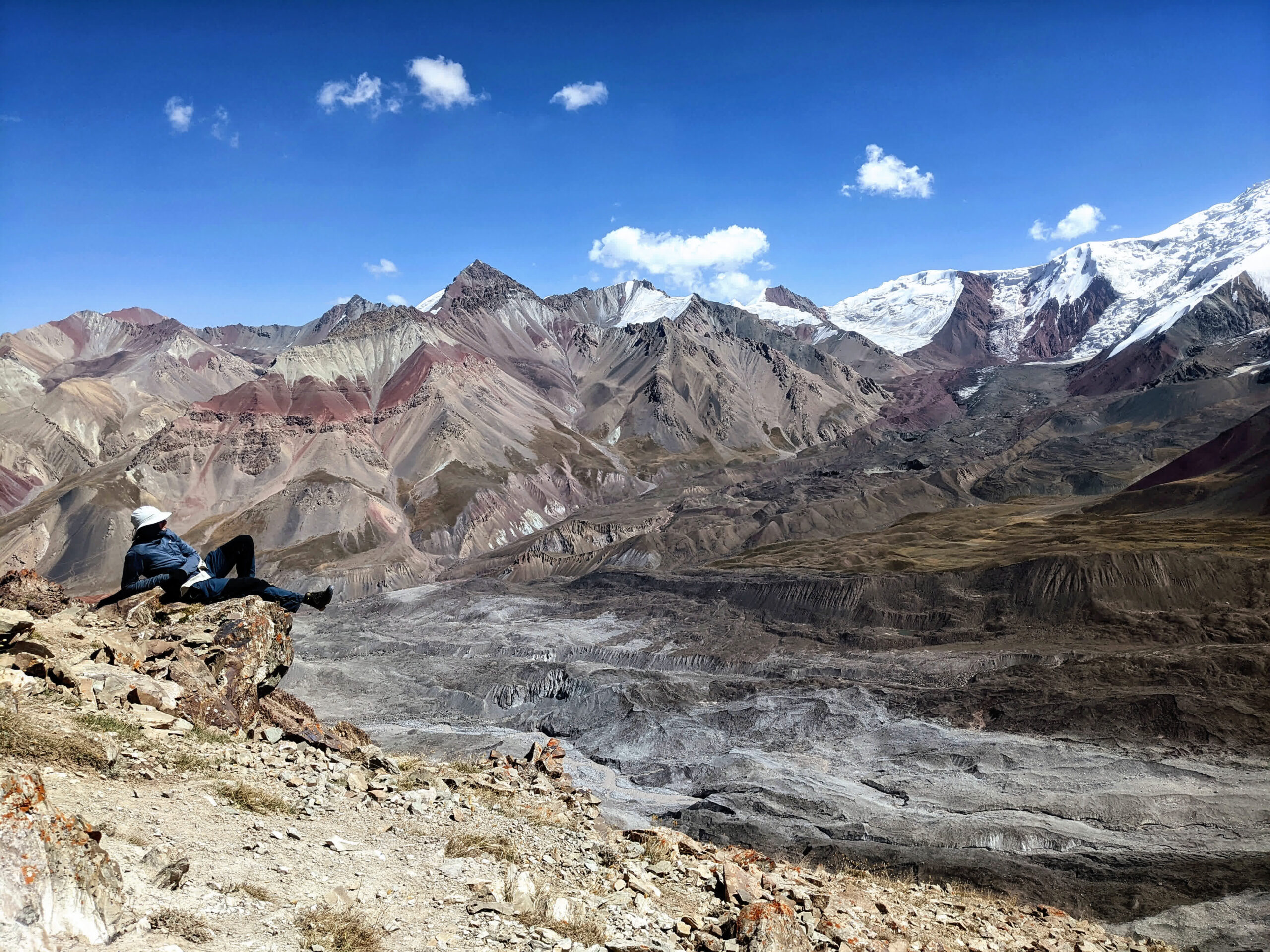
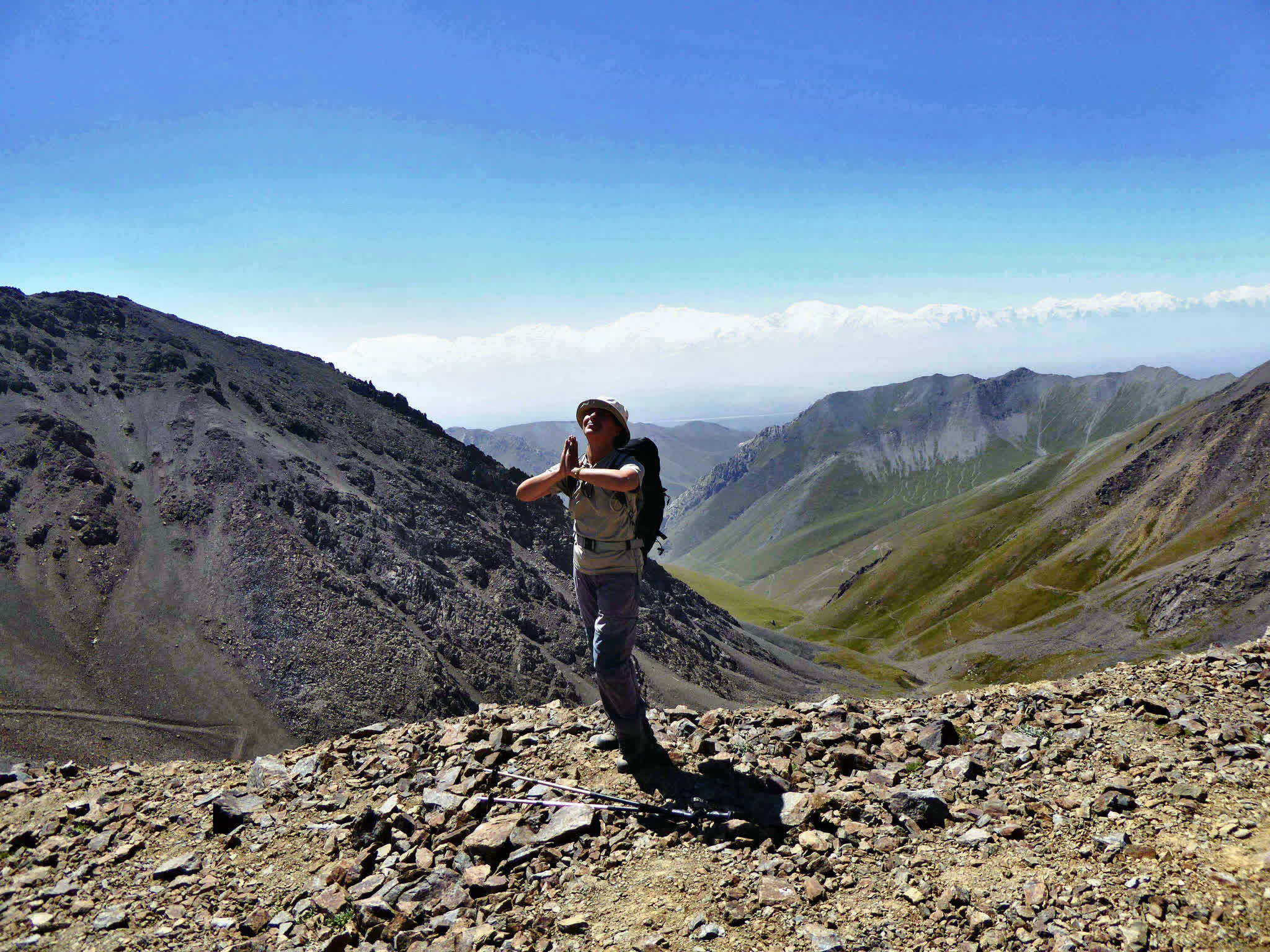
This is one of the most challenging but most rewarding days of the journey. The hike begins with a steep ascent to Sary-Mogol Pass, located at 4,280 meters above sea level. Although the path to the top is only about three to four hours, it requires physical effort due to the steep incline and high altitude.
Once at the top, you will be rewarded with breathtaking views of alpine lakes, glaciers, rugged rocks, and untouched wilderness. If you are lucky, you may spot mountain goats or herds of yaks grazing near the lakes.
After enjoying the view, begin your descent to the valley, which takes approximately two to three hours. At the bottom, our vehicle will meet you at the end of the trail for a fifteen-kilometer transfer (approximately one hour and thirty minutes) to Sary-Mogol village.
Upon arrival in the village, you will be able to take a hot shower and fully relax after this adventurous mountain crossing.
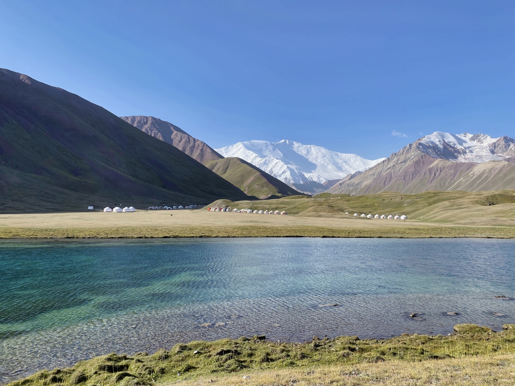
Distance: 25 km | 🕐 Driving Time: 1 hour | ⛰️ Altitude: 3500 m.
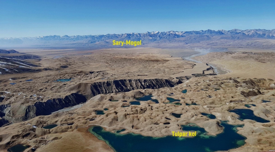
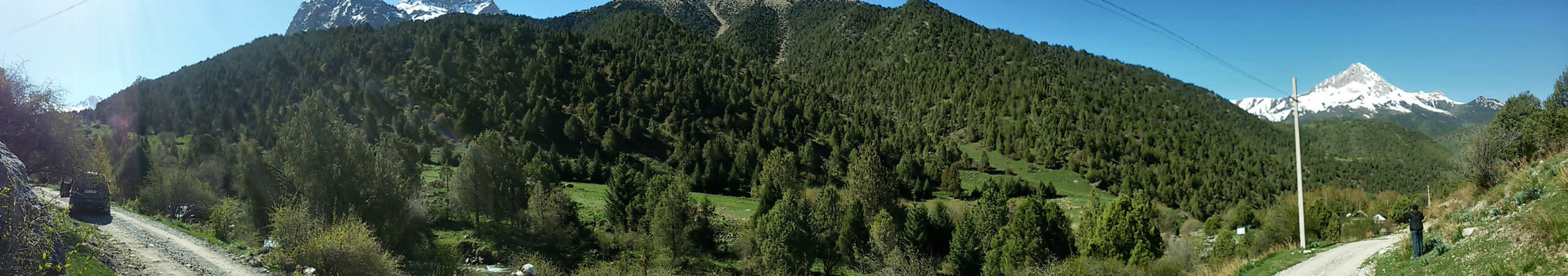
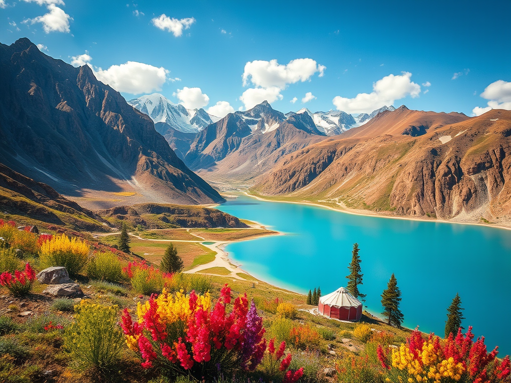
Today we visit one of the highlights of the Pamir-Alay mountain region: the famous Tulpar-Kol Lake, set at the base of the towering Lenin Peak. This destination is a favorite among both trekkers and photographers for its unique combination of alpine scenery and glacial landscapes.
After breakfast, we drive twenty-five kilometers from Sary-Mogol village to the Tuyuk gorge near Tulpar-Kol Lake. The drive takes about one hour. Then hiking via Peak panorama (4000m) up and down to Tupar-Kol.
The trek to Advanced Camp is an unforgettable journey that takes you past the Base Camp of Lenin Peak and the breathtaking Traveler's Pass, standing at an altitude of 4120m. After approximately 6-7 hours of trekking, you will arrive at Advanced Camp, also known as Camp 1, situated at 4400m above sea level.
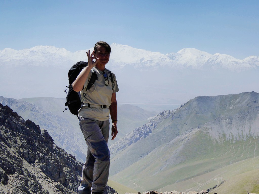
This camp is located in a cold, snowy environment, with snow permanently covering the Peaks. From here, the views are truly incredible—you'll have a sweeping panorama of the majestic Lenin Peak, towering above you like a snow-clad giant. Standing so close to this iconic peak is a humbling and awe-inspiring experience.
Total distance: 14km 8.80 miles.
Hiking time: 5hours (excluding lunch and break time).
Elevation gain: 1070 meters /Elevation loss 170m.
Highest and lowest points: 4408/3500 meters.
Accommodation altitude and type: Tent on the wooden floor with matrass (Need to take your sleeping bag) and altitude is 4400.00 Meters | 14435.70 Feet.
Connection: there is no signal but Wi-Fi in 5G (star link) is available with fee.
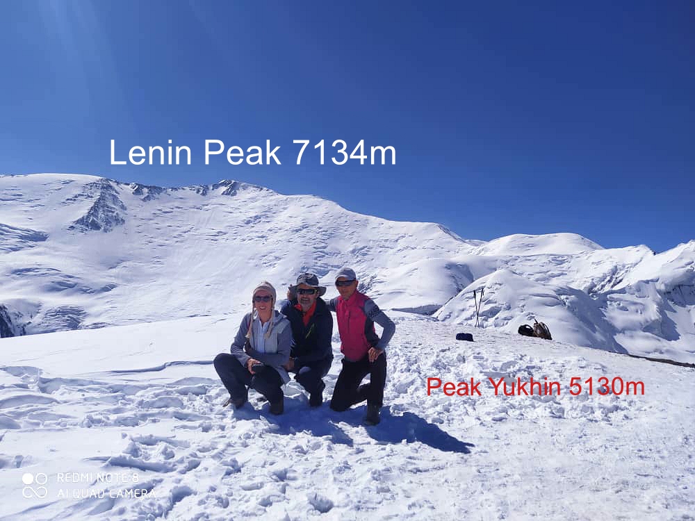
After breakfast, begin your ascent to Peak Yukhin, standing at an impressive altitude of 5130m. This is one of the ideal acclimatization peaks, allowing climbers to reach the summit without equipment (crampons or ropes) However, the climb demands significant physical effort and determination to reach the top.
Up/down to Yukhina: distance is 5.40km (round way).
Walking up: 2h and down is 1h.
Total time is 3-4h.
Vertical gain: 730m.
Highest and lowest points: 5100/4400 meters.
Upon successfully reaching the summit, take a moment to enjoy the breathtaking views and capture unforgettable photos. After a brief rest at the peak, descend to the same camp and lunch then walk back to Tulpar-Kol.
Trekking distance: 14km.
Time of hiking: 5hours (excluding break and lunch times).
Ascent/Descent:170/1070 meters.
Highest and lowest points: 4400/3500 meters.
Accommodation altitude: 3500.00 Meters | 11482.94 Feet.
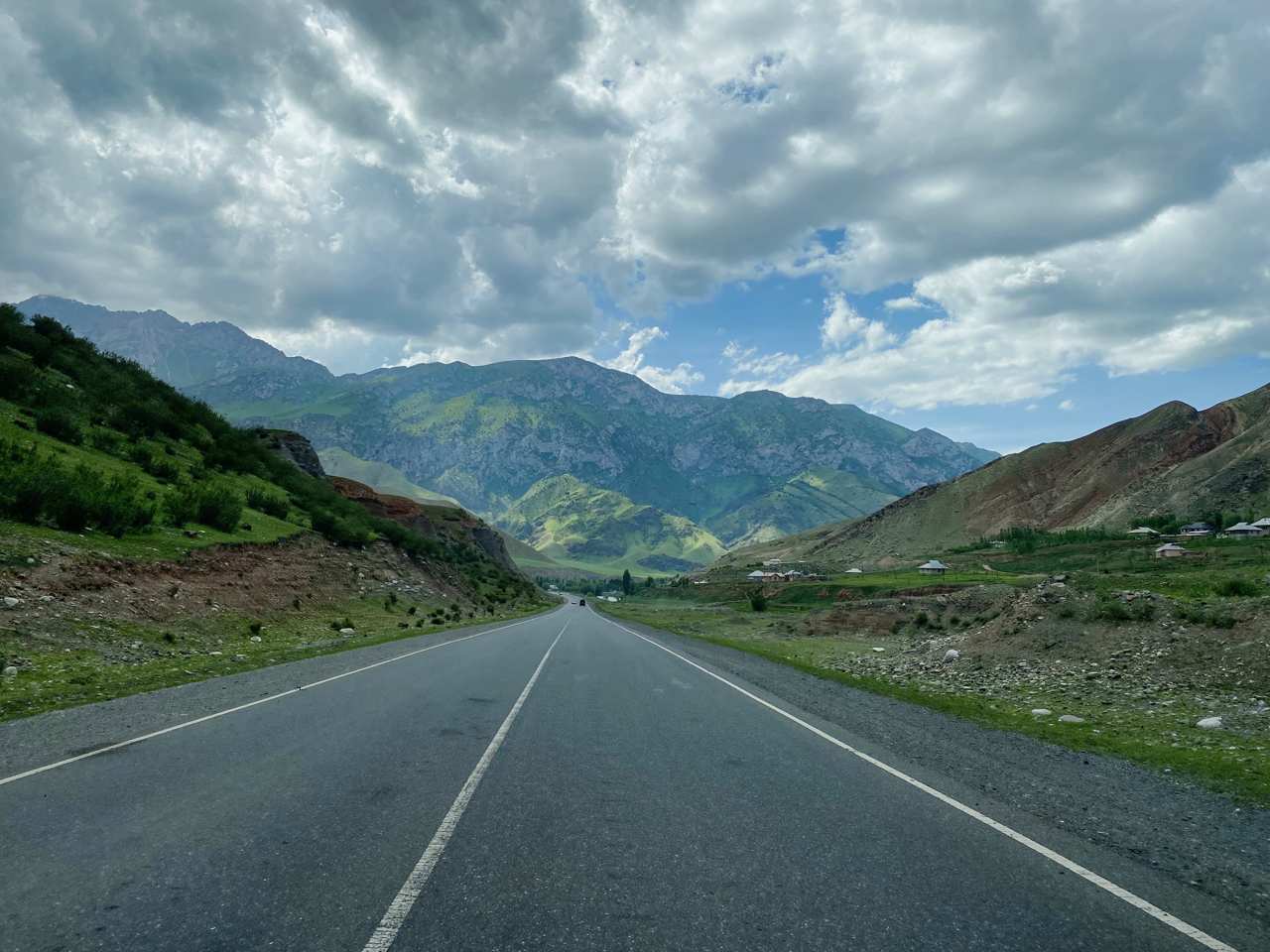
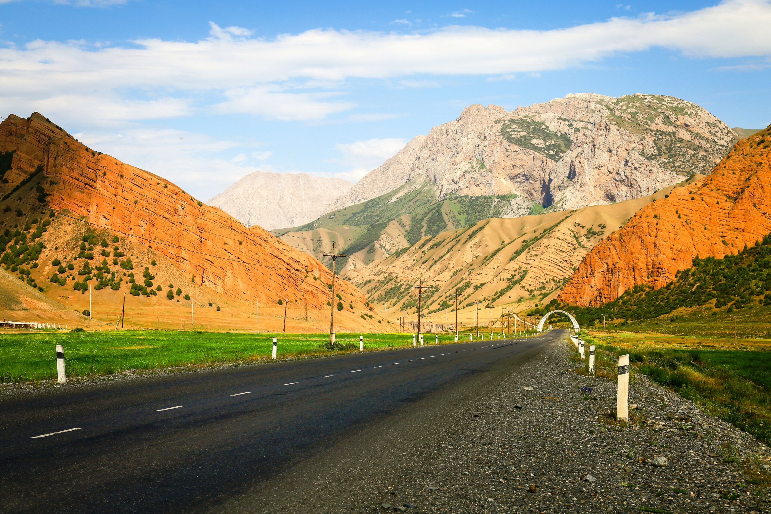
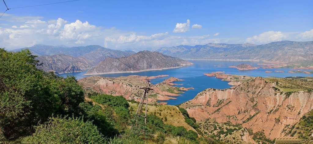
Arrive back by vehicle to Osh, following the famous M41 (Pamir Highway)—a historic route that forms part of the ancient Silk Road corridor.
Tulpar-Kol → Sary-Mogol: approx. 23 km on a gravel road (1h).
Sary-Mogol → Osh: approx. 220 km on an asphalt road (4h).
On the way, we make short photo stops at Taldyk Pass and Uch-Tobo.
We arrive back in Osh by the evening.
If your trip will be not return to Osh, please let us know on the next way we offer extra transport except standard program.
🚗 Options:

![IMG-20231106-WA0009[1]](https://alaytravelguide.com/wp-content/uploads/2026/05/IMG-20231106-WA00091.jpg)
Write Your Review