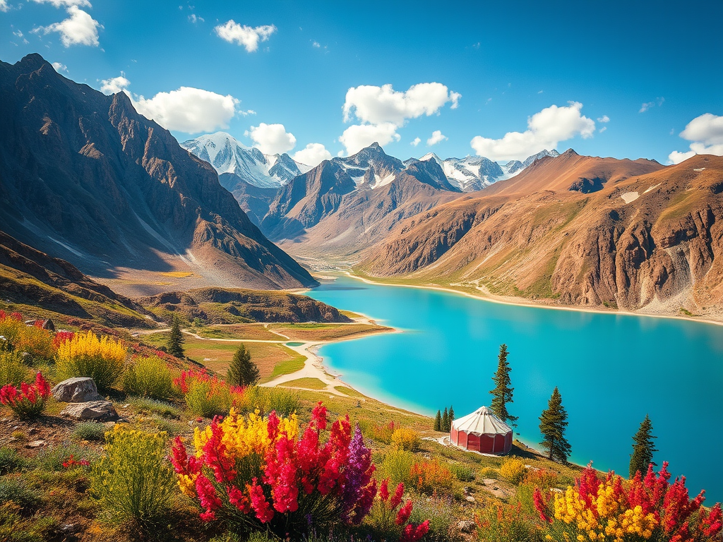
10 Days trekking in Alay area
Packing checklist for Alay area.
Daypack (each day).
- 1–2 L water + purification tablets/filter.
- Warm mid-layer + wind/rain shell (weather changes quickly).
- Sun hat + sunglasses + sunscreen (high UV at altitude).
- Snacks (nuts, chocolate, dried fruit).
- Headlamp, small first-aid kit, blister kit.
- Phone + power bank.
Main bag / duffel (on horses or with porter).
- Warm down jacket, beanie, trousers and good shoes for hiking and Sandals.
- Spare socks and base layers.
- Personal medicines (altitude meds if you use them).
- Dry bags / waterproof cover (essential).
Practical notes.
- Altitude: drink water, walk slowly, and tell the guide immediately if anyone has headache/nausea/dizziness. We adjust the plan if needed.
- Cash: carry KGS. Just in case there is an ATM is available in Sary-Mogol (Visa).
- Mobile networks: O!, MegaCom, Beeline usually work in villages; remote camps may have no signal.
- Shops: small markets and shops are available in Sary-Mogol for snacks and water.
- Gear rental: trekking poles, warm jackets/trousers are available for rent in Sary-Mogol (subject to stock).
Accommodation
10 nights total:
- 5 nights in a guesthouse (Sary-Mogol).
- 5 nights in yurts (mountain camps).
Meals
- Breakfast and dinner are served at the overnight places (guesthouses and yurt camps).
- Lunches are usually packed lunches prepared by the guesthouses/yurts, so you have food during hiking days.
Guide
A local guide (English-speaking or Russian-speaking) is provided throughout the tour from Osh to Osh.
Border zone permits have been requested more frequently by border guards recently. There are no permanent checkpoints, but patrols may visit the area and check documents. If a permit is not available, a fine of approximately USD 50 may apply.
| Destination |
Osh | Sary-Mogol | Kosh-Dobo | Tulpar-Kol | Tuyuk Canyon | Bouke yurt camp | Besh-Kol area | Kosh-Moinok | Kojo-Kelen | Jiptik yurt camp | |
| Depature |
Yes Required |
| Departure Time |
Contact us for more information |
| Return Time |
Contact us for more information |
| Included |
- Transport used in the tour.
- We use reliable local vehicles, depending on road conditions and group comfort.
- Included transfers / drives:
1. Osh → Sary-Mogol
2. Sary-Mogol → Kosh-Dobo → Sary-Mogol
3. Sary-Mogol → Tulpar-Kol → Sary-Mogol
4. Sary-Mogol → trekking start point (trailhead transfer)
5. Darbaza-Tash → Sary-Mogol (pick-up after Jiptik Pass)
6. Sary-Mogol → Osh
|
|
What to Bring:
|
|
|
|
Price:
| Number of tourists |
1 |
2 |
3 |
4 |
|
|
|
|
|
| Price in USD Dollar for the group |
$1420 |
$1910 |
$2400 |
$2900 |
|
|
|
|
|
Porter (pack horses) – recommended
For the last 5 trekking days, we strongly recommend pack horses (porter service), especially for families and small groups.
Important: Porter service is not included in the base tour price, because it is optional. It is offered as an add-on for travelers who want more comfort.
Porter add-on (5 days).
|
Number of travelers
|
Porters provided
|
Total porter price (USD)
|
Approx. per person (USD)
|
|
|
|
|
|
|
| 1 |
1 horse + horseman
|
340 |
340 |
|
|
|
|
|
|
| 2 |
1 horse + horseman |
340 |
170 |
|
|
|
|
|
|
| 3 |
2 horses + 1 man
|
340 |
163 |
|
|
|
|
|
|
| 4 |
2 horses + 1 man
|
340 |
122 |
|
|
|
|
|
|
Pricing note (recommended wording)
- The base tour price includes: transport as listed, accommodation (10 nights), breakfasts & dinners, packed lunches, and guiding (Osh–Osh).
The base tour price does not include: optional porter (pack horses), personal expenses, tips, travel insurance, and any permits/fees not explicitly stated as included.
Details
Start / End: Osh → Sary-Mogol (final night). Optional transfer back to Osh on request.
Best season: Late June – September (July/August ideal).
Altitude range: Osh ~1,000 m to high passes ~4,185–4,270 m.
Tour category: Moderate overall (with 2 challenging high-altitude days).
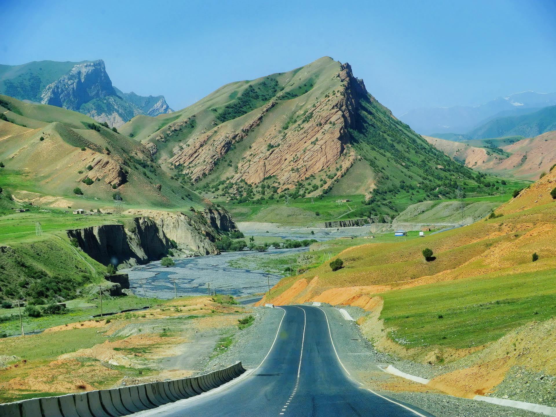
- Morning departure from Osh. Scenic drive via Taldyk Pass (~3,640 m).
- Drive time: ~220 km / ~4 hours (not including stops).
- Optional stops and short hikes (choose 1, depending on time):
- Kolduk Lake: easy lakeside walk; good photo points; seasonal fishing.
- Gejige “Emerald Lake”: moderate walk (about 2 hours round trip) from the yurt area optional yurt lunch.
- Arrival in Sary-Mogol. If you feel strong: 1–2 hour gentle walk around the village for acclimatization.
- Dinner and overnight in Sary-Mogol guesthouse.
Difficulty: Easy (Moderate only if you add the Gejige hike).
Overnight altitude: Approx. 2900 m.
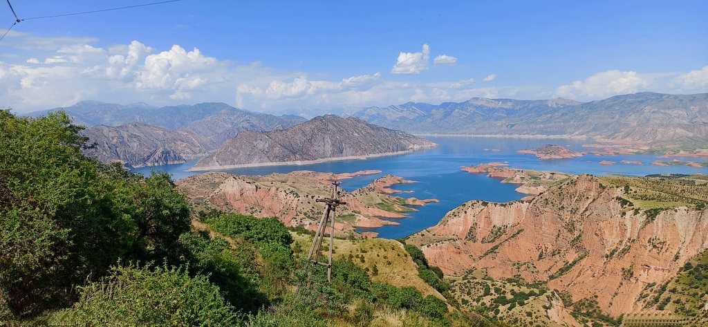
- Drive to Kosh-Dobo: ~2 hours each way (about 60 km asphalt + 30 km unpaved road).
- Nature time and fresh fish lunch (seasonal; June-October).
- Short waterfall walk: ~1 hour round trip.
- Cultural stop on the way: Daroot-Korgon museum (good family break).
- Return to Sary-Mogol for dinner and overnight.
Difficulty: Easy.
Overnight: Sary-Mogol guesthouse.
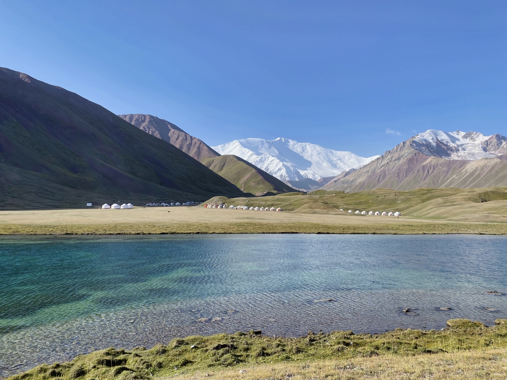
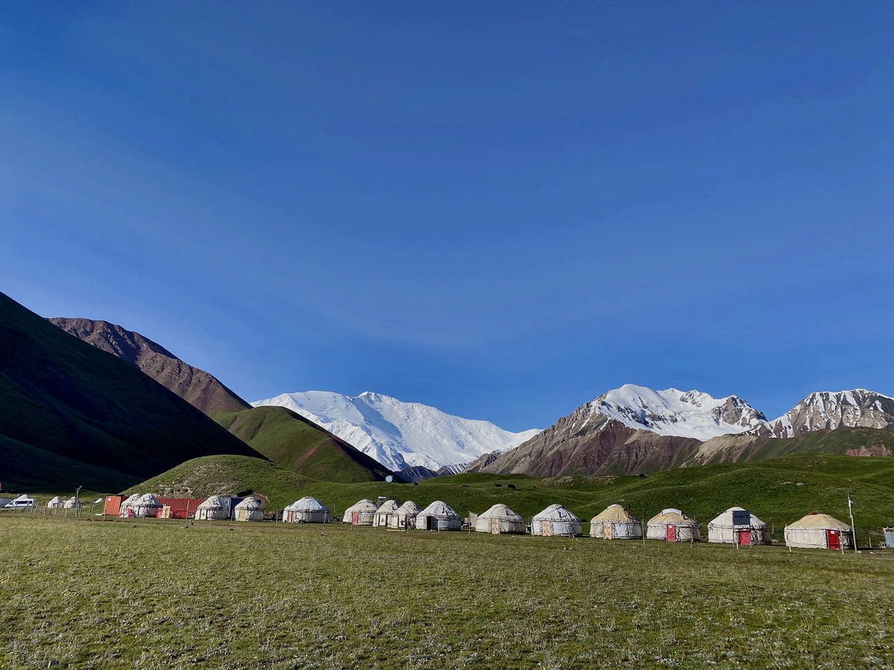
- Morning transfer to Tulpar-Kol (Lenin Peak area). Settle into the yurt camp and have tea/lunch.
- Two good day-hike options (choose based on weather and the family’s energy):
- Option A — Lenin Peak Base Camp direction (to the ‘Onion Field’ area) and back:
- Best for: steady valley walking with manageable pacing.
- Time: ~4 hours walking total (family pace).
- Note: very weather-dependent in open valley conditions.
- Option B — Travelers Pass / high viewpoint loop (recommended for acclimatization):
- Best for: dramatic panoramas with a flexible turn-around time.
- Time: up to ~7 hours walking total (adjustable).
- Highest point: commonly ~4,000–4,200 m depending on exact route and conditions.
- Dinner and overnight at Tulpar-Kol yurt camp.
Difficulty: Moderate–Challenging (altitude dependent).
Overnight: Tulpar-Kol yurt camp (same yurt).
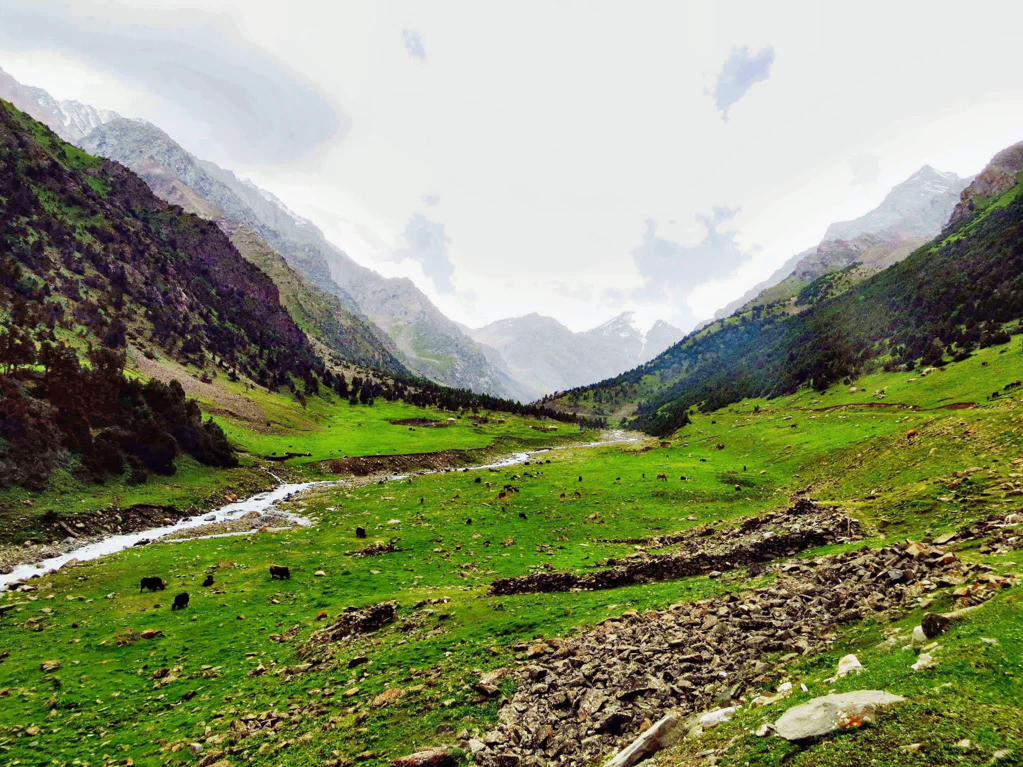
- After breakfast (~08:00), start trekking towards Bouke yurt camp through Tuyuk Canyon.
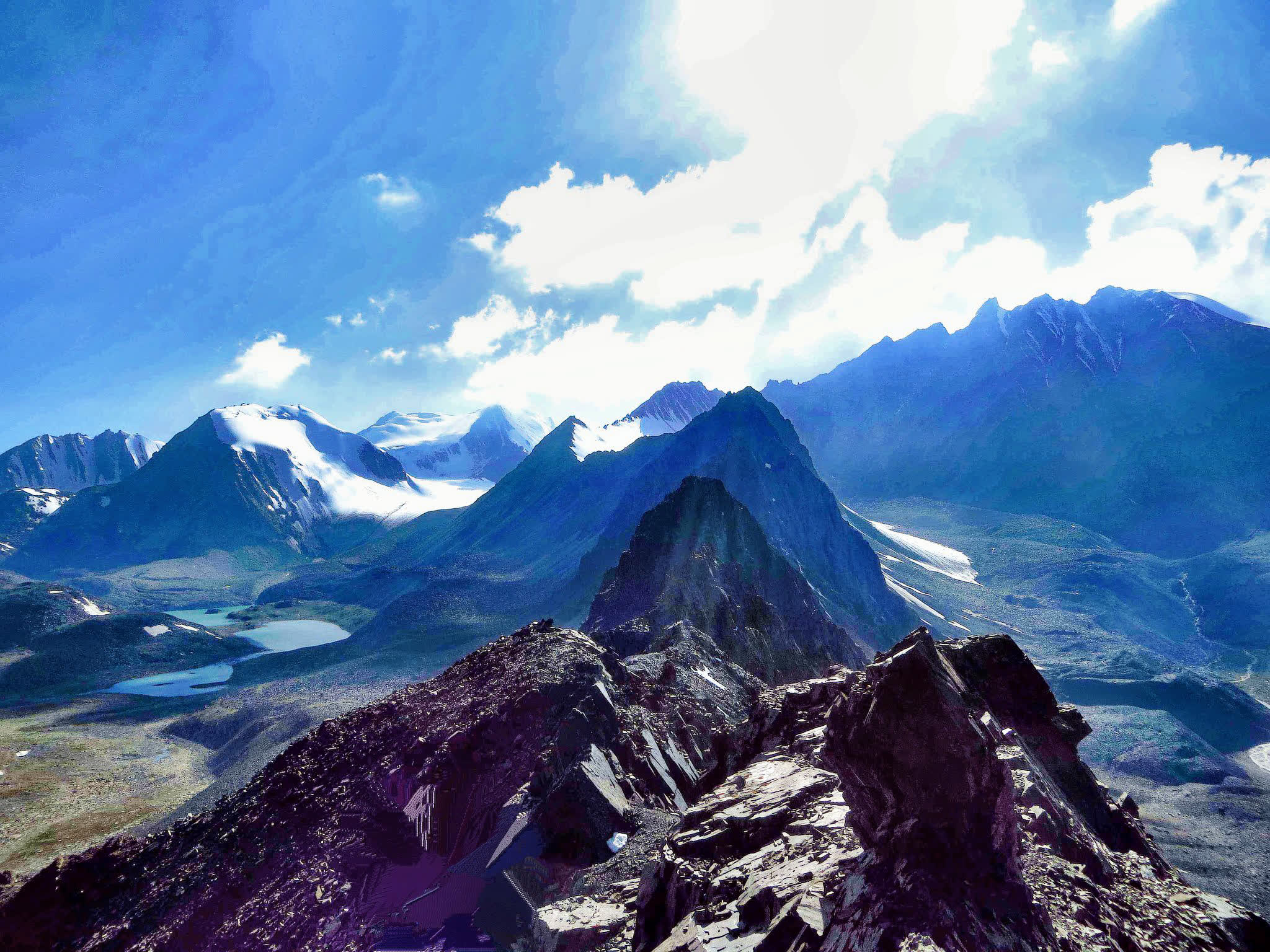
- The route offers wide valley scenery, glacial streams, and classic Lenin Peak landscapes.
- Hiking time: ~4 hours (family pace; photo stops included).
- Arrival at Bouke yurt camp, warm dinner, and overnight in yurts.
Difficulty: Moderate.
Accommodation: Yurt camp (seasonal; facilities depend on the herders’ camp).
- Drive back to Sary-Mogol: ~2 hours.
- Rest day: shower, laundry, equipment check, reorganize packs for the longer trek.
Difficulty: Easy.
Overnight: Sary-Mogol guesthouse.
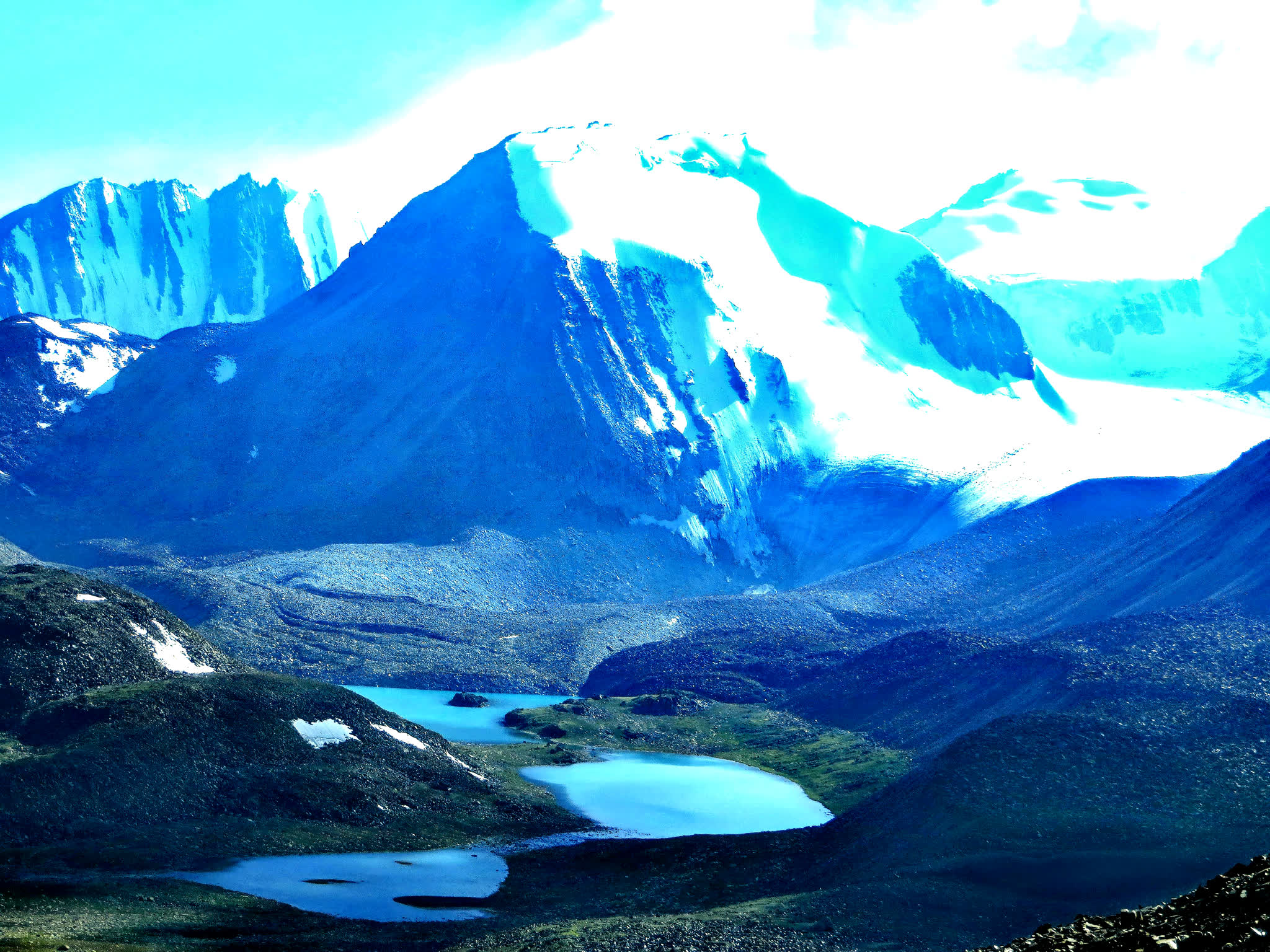
- Morning transfer to the trailhead, then trek over Sary-Mogol Pass (~4,270 m).
- High-mountain scenery with views toward the Besh-Kol lakes area.
- Rocky sections are possible on the ascent/descent; trekking poles are helpful.
- For families: horses/porters are strongly recommended to carry main bags and reduce fatigue.
- Overnight in a seasonal yurt camp near the lakes/pastures.
Walking time: Approx. 6–8 hours (family pace can be longer).
Difficulty: Challenging (highest pass day).
- Head east following the river, with a gradual descent through a beautiful gorge.
- Lunch stop around Kyzyl-Chara (homestay/café depending on availability).
- Continue to Kosh-Moinok and settle into the yurt camp.
Approx. distance: 18 km (11.18 miles).
Hiking time: About 7 hours walking (excluding lunch/breaks).
Ascent / Descent: ≈ 830 m up / 1,460 m down.
Highest / Lowest: ≈ 3,467 m / 2,467 m.
Overnight altitude: ≈ 2,822 m.
Accommodation: Yurt stay (shared bedding). Shower/toilet availability depends on season.
Connection: No reliable electricity, internet, or signal.
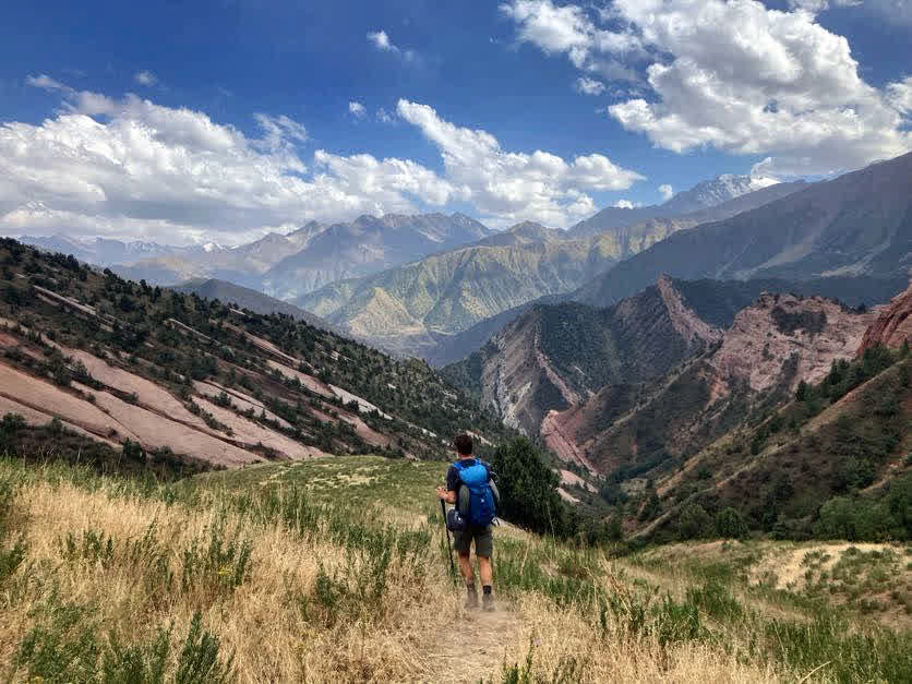
- Trek from Kosh-Moinok to Kojo-Kelen village (family pace).
- Enjoy panoramic views towards Sary-Bel Pass (~3,150 m) and the red-rock landscapes of the lower valley.
- Arrival in Kojo-Kelen, check-in to a cozy homestay and rest.
- Optional evening walk (if time and energy):
- Waterfall: a short walk to a hidden cascade (good for photos).
- ‘Blue Cave Pool’: a turquoise pool in/near a natural cave (water level is seasonal).
Approx. distance: 10 km (6.50 miles).
Hiking time: About 6 hours (excluding lunch/breaks).
Ascent / Descent: ≈ 340 m up / 960 m down.
Highest / Lowest: ≈ 3,127 m / 2,230 m.
Overnight altitude: ≈ 2,230 m.
Connection: Electricity and often Wi-Fi in the village.
- Follow the Ak-Buura River through gorges and green valleys.
- A steady ascent brings you to the yurt camp near the Jiptik Pass foothills.
- Relax in the evening with tea by the river and a warm dinner.
Approx. distance: 14 km (8.70 miles).
Hiking time: About 5 hours (excluding lunch/breaks).
Ascent / Descent: ≈ 1,000 m up / 10 m down.
Highest / Lowest: ≈ 3,225 m / 2,220 m.
Overnight altitude: ≈ 3,040 m.
Accommodation: Yurt (typically 3–4 people per yurt), shared outdoor toilet.
Connection: No reliable electricity/signal (bring power bank).
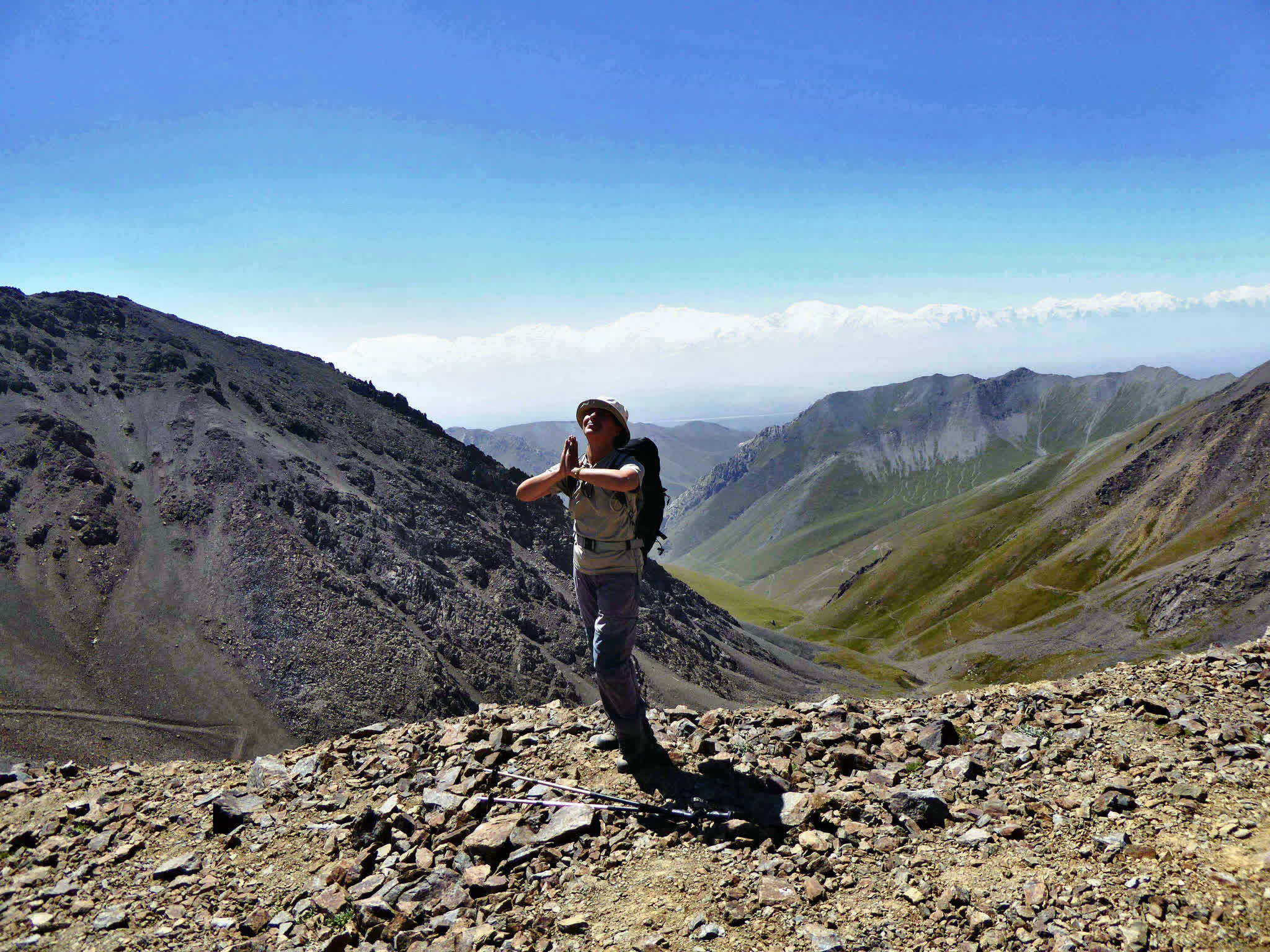
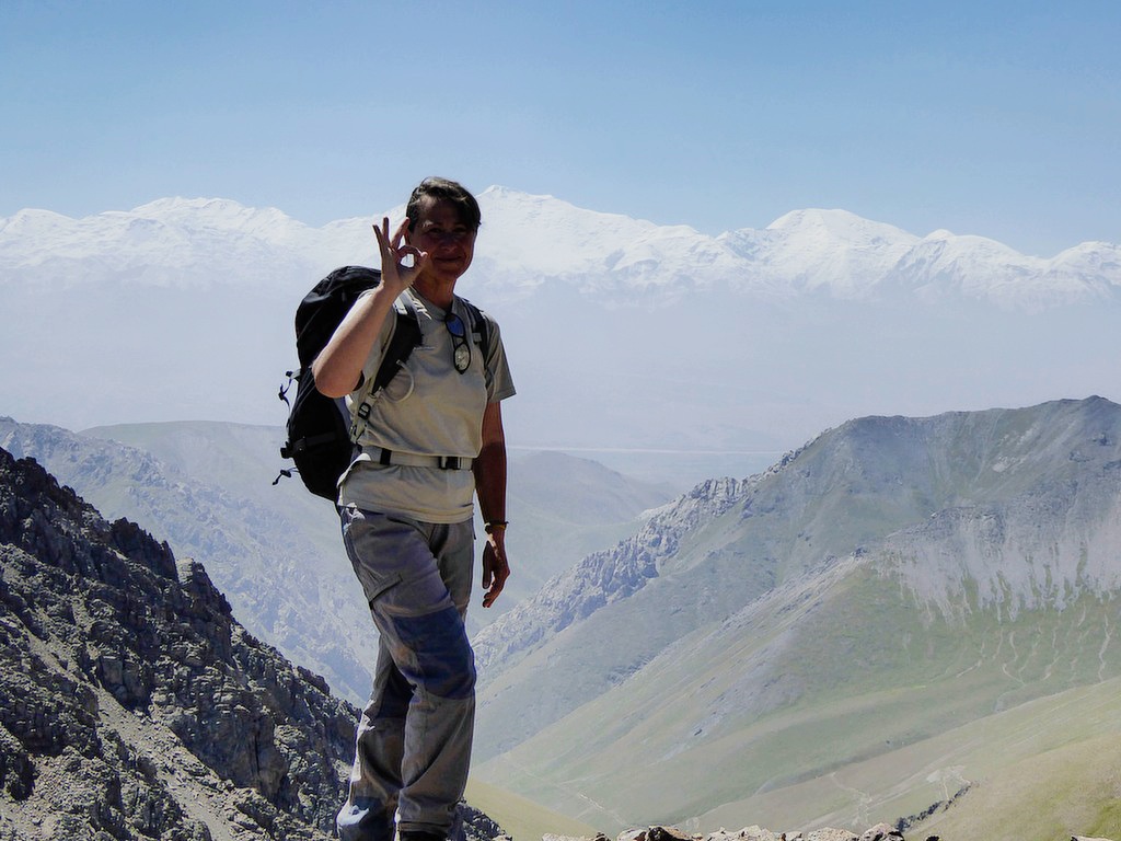
- After breakfast, start the ascent to Jiptik Pass (~4,185 m).
- In clear weather, enjoy panoramic views across the Pamir-Alay and toward Lenin Peak (7,134 m).
- Lunch on/near the pass, then descend toward Darbaza-Tash.
- Pick-up at Darbaza-Tash and transfer by vehicle to Sary-Mogol.
- Overnight in Sary-Mogol (private room).
Total route distance (day): Approx. 25 km combined (15 km hiking + 10 km driving).
Hiking time: About 5 hours walking (not counting lunch/breaks).
Driving time: About 30 minutes (10 km).
Ascent / Descent: ≈ 830 m up / 1,230 m down.
Highest / Lowest: ≈ 4,150 m / 2,970 m.
Overnight altitude: ≈ 2,976 m.
Accommodation: Guesthouse (Alay Travel House): shared hot showers and running-water toilets.
Connection: Electricity and Wi-Fi in Sary-Mogol.


![IMG-20231106-WA0009[1]](https://alaytravelguide.com/wp-content/uploads/2026/05/IMG-20231106-WA00091.jpg)
Write Your Review