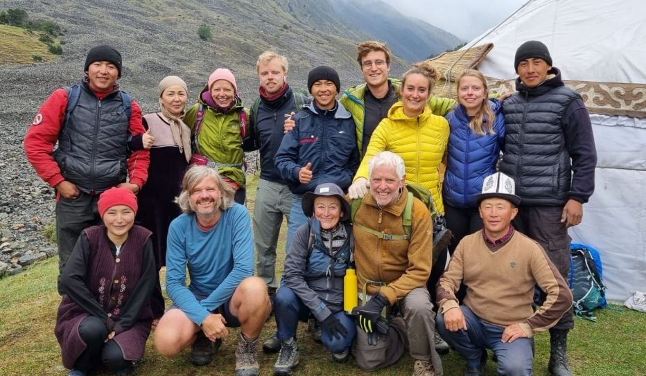
General overview: Our trekking tours, developed over many years of practical research and refinement, have become highly popular among European and international nature enthusiasts. These routes are loved by adventurers for their breathtaking landscapes and incredible sensations, making them a must-try in Kyrgyzstan.
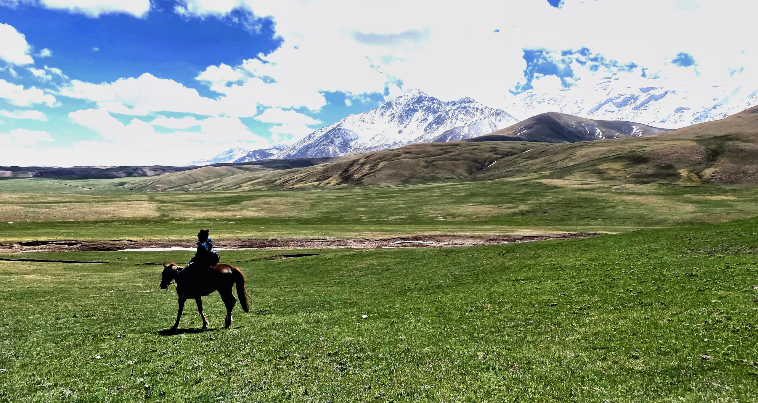
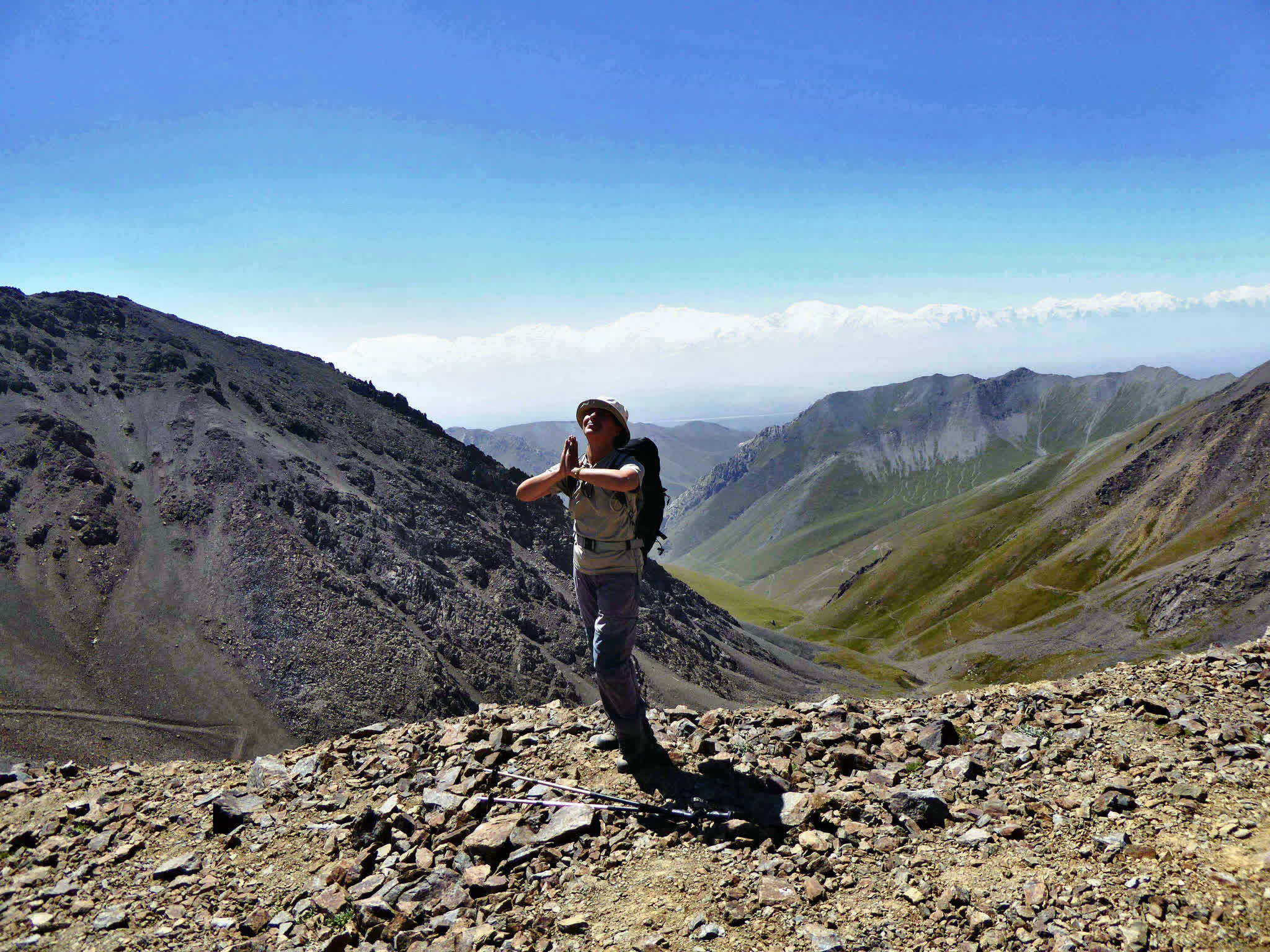
In the Alai Valley, the minimum altitude begins at 2,500 meters above sea level and quickly rises higher. Due to the altitude, we recommend this hike for people in moderate physical condition with no altitude-related health problems. The route includes two challenging passes, Sary-Mogol Pass (4,280 m) and Jiptik Pass (4,185 m), with daily treks of 5–6 hours (active walking).
Acclimatization:
It is recommended to acclimatize to the altitude in advance, as the round hiking route starts from the Sary-Mogol Pass (4280 m), and the trail to the pass rises to an altitude of 900 meters.
| Destination | Osh | Sary-Mogol | Besh Kol | Koshmoinok | Kojo-Kelen village |
|---|---|
| Depature | Yes Required |
| Departure Time | Contact us for more information |
| Return Time | Contact us for more information |
| Included |
|
|
What to Bring: |
|
 |
|
Price:
| Number of tourists | 2 | 3 | 4 | ||||||
|---|---|---|---|---|---|---|---|---|---|
| Price in USD Dollar for the group | $790 | $977 | $1160 |
Difficulty: Easy (Moderate only if you add the Gejige hike).
Overnight altitude: Approx. 2900 m.
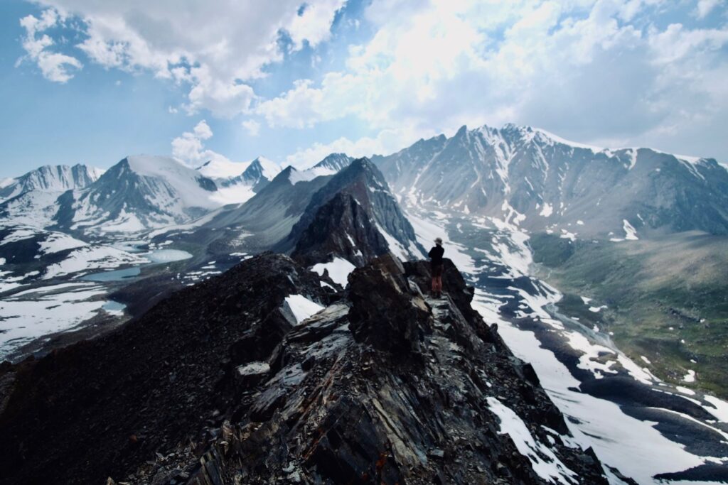
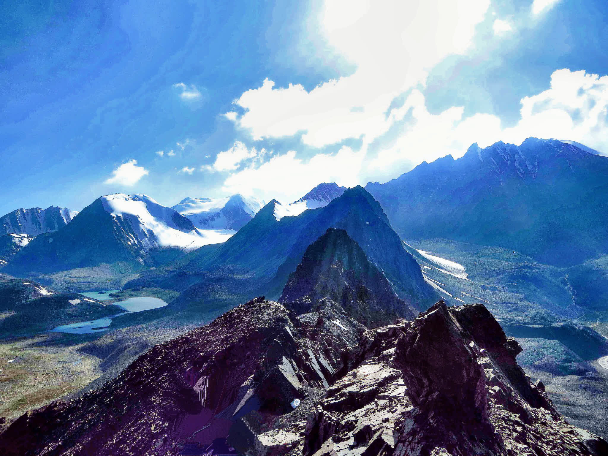
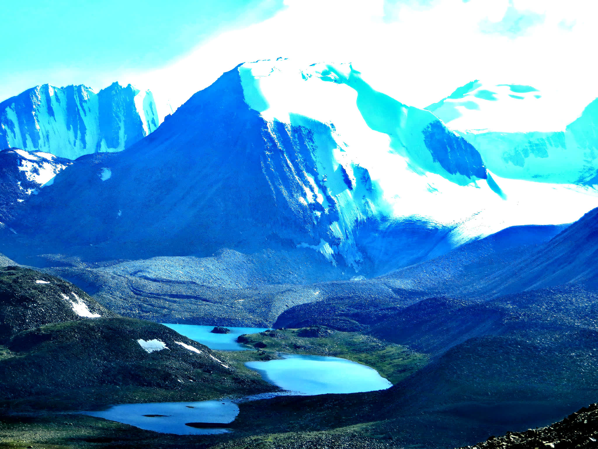
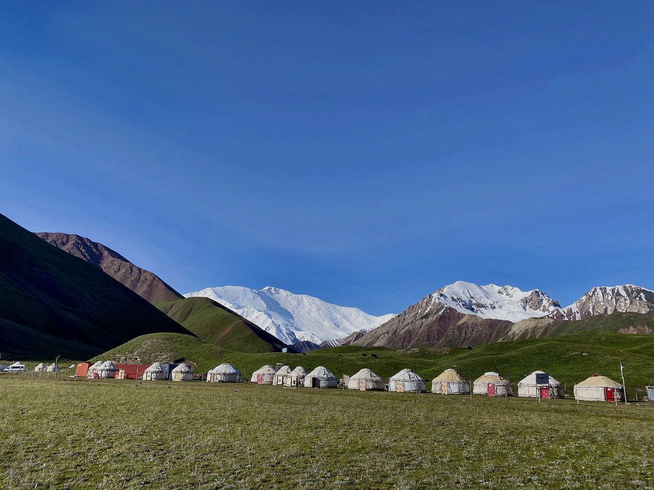
Today we continue our trekking in north range of Allay valley (Trans-Alay). From Sary-Mogol to trailhead we go by car (1h) then trekking starts it is going to be bit taught trek because we go up to the pass called Sary-Mogol pass (4270 meters) and Besh-Kol lake. Our daily route takes for 6-8 hours of walking up in rocky path. At the top of the pass we enjoy the stunning scenery of Besh-Kol lakes. Then keeping the way to other side until the yurt camp.
Total distance 31km.
Driving distance: 17km (1hour by car).
Trekking distance: 14km, 8.70 miles.
Time of hiking: 6hours (excluding driving, break and lunch).
Ascent/Descent: 910/790 meters.
Highest and lowest points: 4270/3380 meters.
Accommodation altitude: 3458.00 Meters | 11345.14 Feet.
Accommodation: yurt stay with shared beds on the carpet, there are blankets, water running toilet.
Connection: No electricity, internet and signal
Food: lunch-box on the route and dinner in yurt camps.
Host: name of woman is Orozgul.
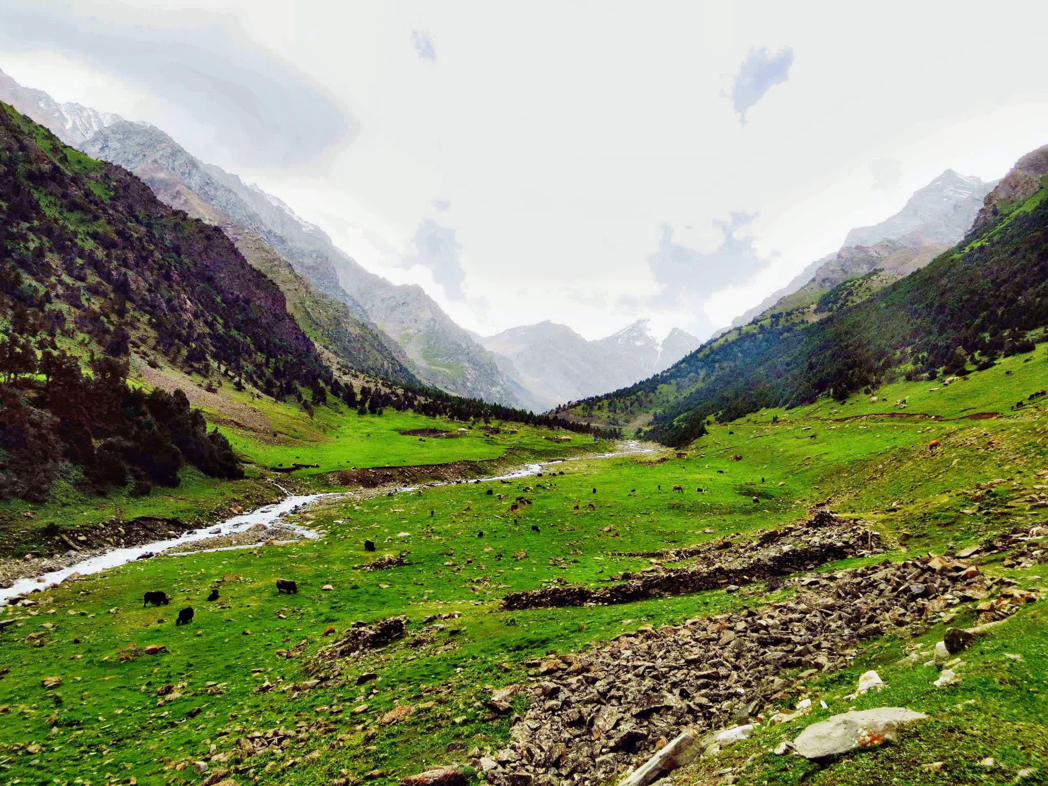
Head east following the river and slightly descending to the end of the beautiful mountain gorge. Enjoy grandiose views of the Kichik Alay or Trans Alay mountain range, at first we cross a small village under Sary-Mogol further direction of travel turns to the right on the dirty auto road after 2-3 hours we reach a small village Kyzyl-Chara and stop here for lunch in home stay or at a cafes on the way, then forward go on to yurt camp in Koshmoinok.
Approximate trekking distance: 18km (11.18miles).
Hiking time: 7h (excluding lunch and break time).
Ascent/Descent: 830/1460.
Highest and lowest points: 3467 /2467m.
Accommodation altitude 2822.00 Meters | 9258.53 Feet.
Accommodation: yurt stay (shared beds on ground with carpet and blankets) there are solar water.
heater shower and flash toilet.
Connection: No electricity, internet and signal.
Food: lunch on the route and dinner will be cooked by hosts in yurt.
Host: The name of owner is Nurdoolot and Begali.
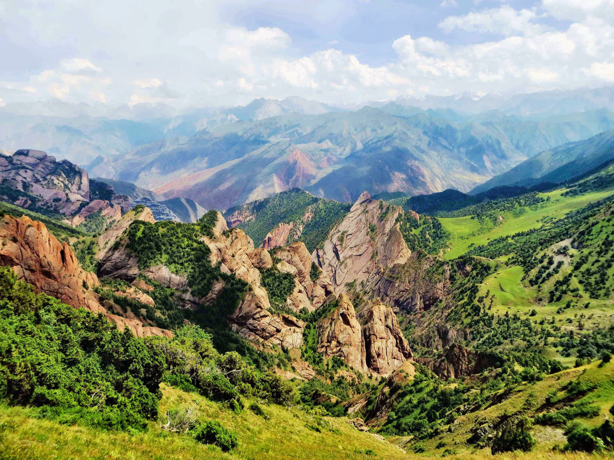
Challenging Mountain Trek: Start the ascent to Sarybell Pass, one of the most breathtaking sections of the trek. The trail provides sweeping views of untouched valleys, rugged ridges, and distant peaks.
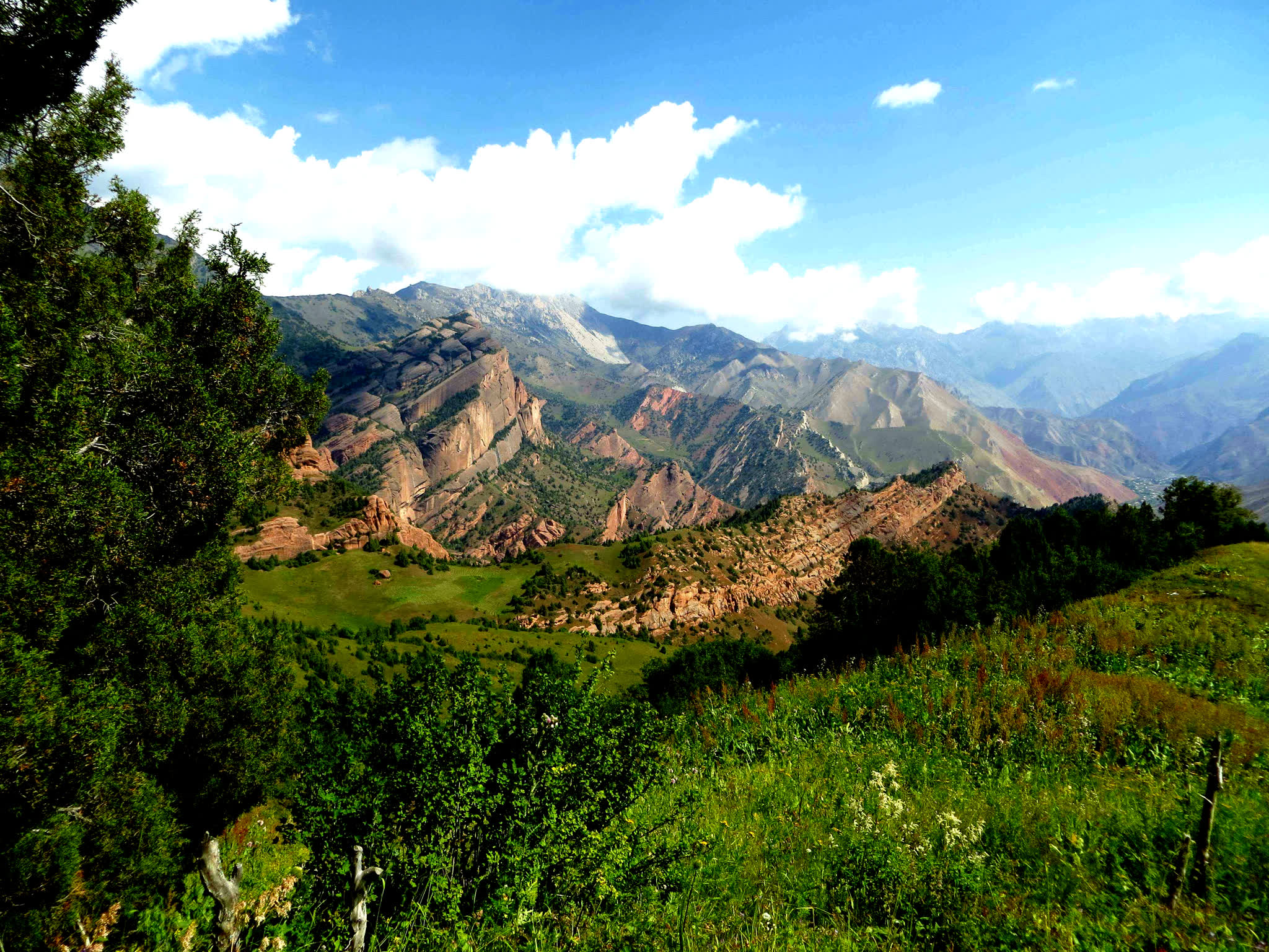
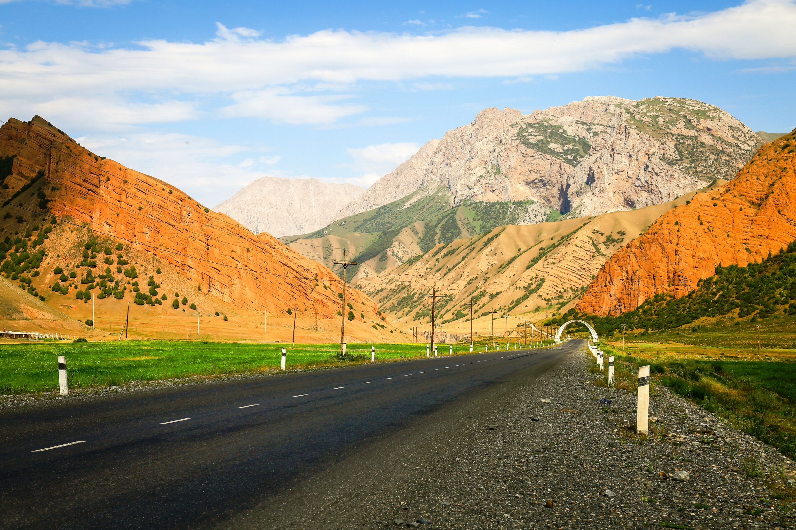
Steep Descent: After crossing the pass, the trail leads down towards the fairy-tale-like village of Kojo-Kelen, known for its red rock formations and traditional Kyrgyz houses.
Overnight Stay: Stay in a cozy guesthouse in Kojo-Kelen.
Meals: Breakfast and dinner at the guesthouse, lunch on the way.
Approximate trekking distance: 10km (6.50miles).
Hiking time: 6h (excluding lunch and break time).
Ascent/Descent: 340/960 meters.
Highest and lowest points: 3127 /2230meters.
Accommodation altitude 2230.00 Meters | 7316.27 Feet.
Accommodation type: local homestay, share rooms in the traditional floor blankets with hot shower and flush toilet.
Connection: there is electricity and Wi-Fi.
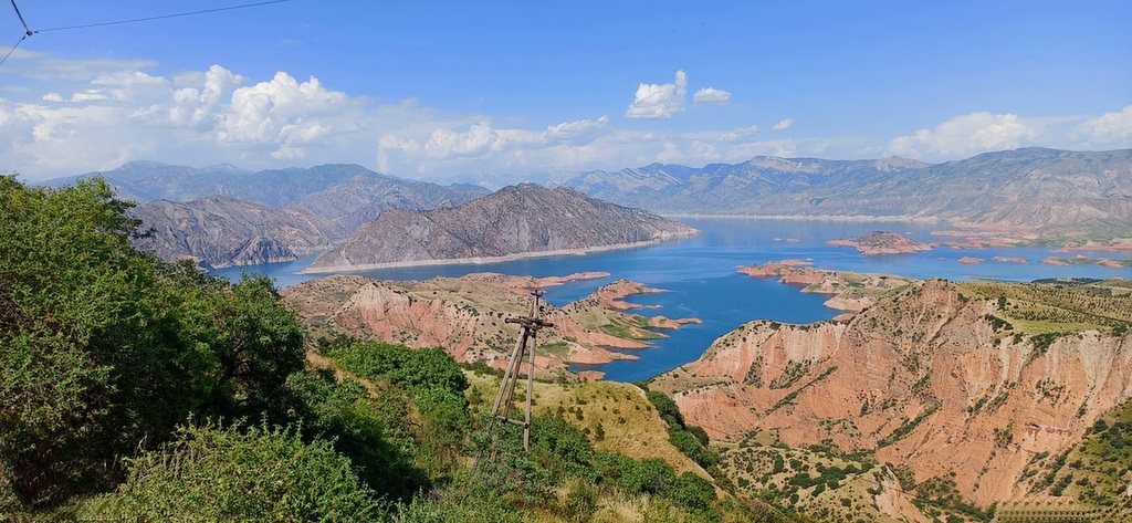
Scenic Drive Back: Depart in the morning for Osh via a dirt but incredibly scenic road. Along the way, enjoy:
Papan Reservoir – A perfect stop for photos of the turquoise waters against a backdrop of mountains.
Traditional Kyrgyz Villages – Observe daily rural life and experience the charm of remote mountain settlements.
Arrival in Osh: End of the tour, with an optional visit to Sulaiman-Too Mountain or the local bazaar.

![IMG-20231106-WA0009[1]](https://alaytravelguide.com/wp-content/uploads/2026/05/IMG-20231106-WA00091.jpg)
Write Your Review