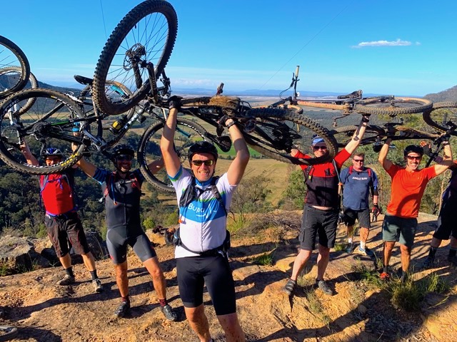
| Destination | Osh | Tulpar-Kol | Kok Chukur panorama point | Yukhin Peak-descent to advanced camp | Razdelnaya Peak |
|---|---|
| Depature | Yes Required |
| Departure Time | Contact us for more information |
| Return Time | Contact us for more information |
| Included |
|
|
Excluded: |
|
 |
|
Price:
| Number of tourists | 2 | 3 | 4 | 5 | 6 |
|---|---|---|---|---|---|
| Price in USD Dollar for the group | $2720 | $3200 | $3650 | $4060 | $4600 |
Osh | Tulpar-Kol | Kok Chukur panorama point | Yukhin Peak-descent to advanced camp | Razdelnaya Peak
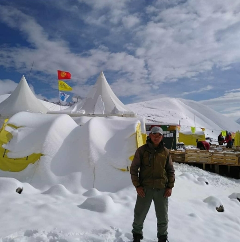
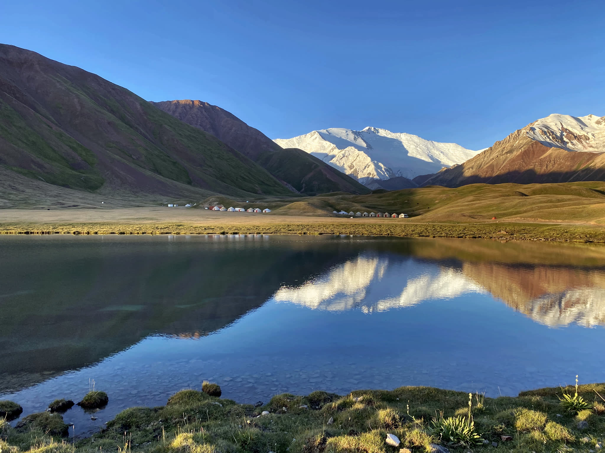
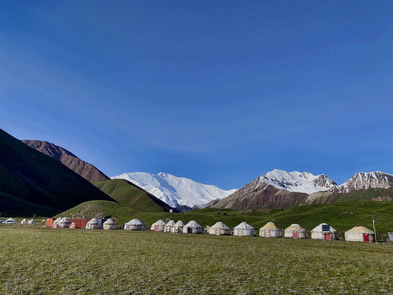
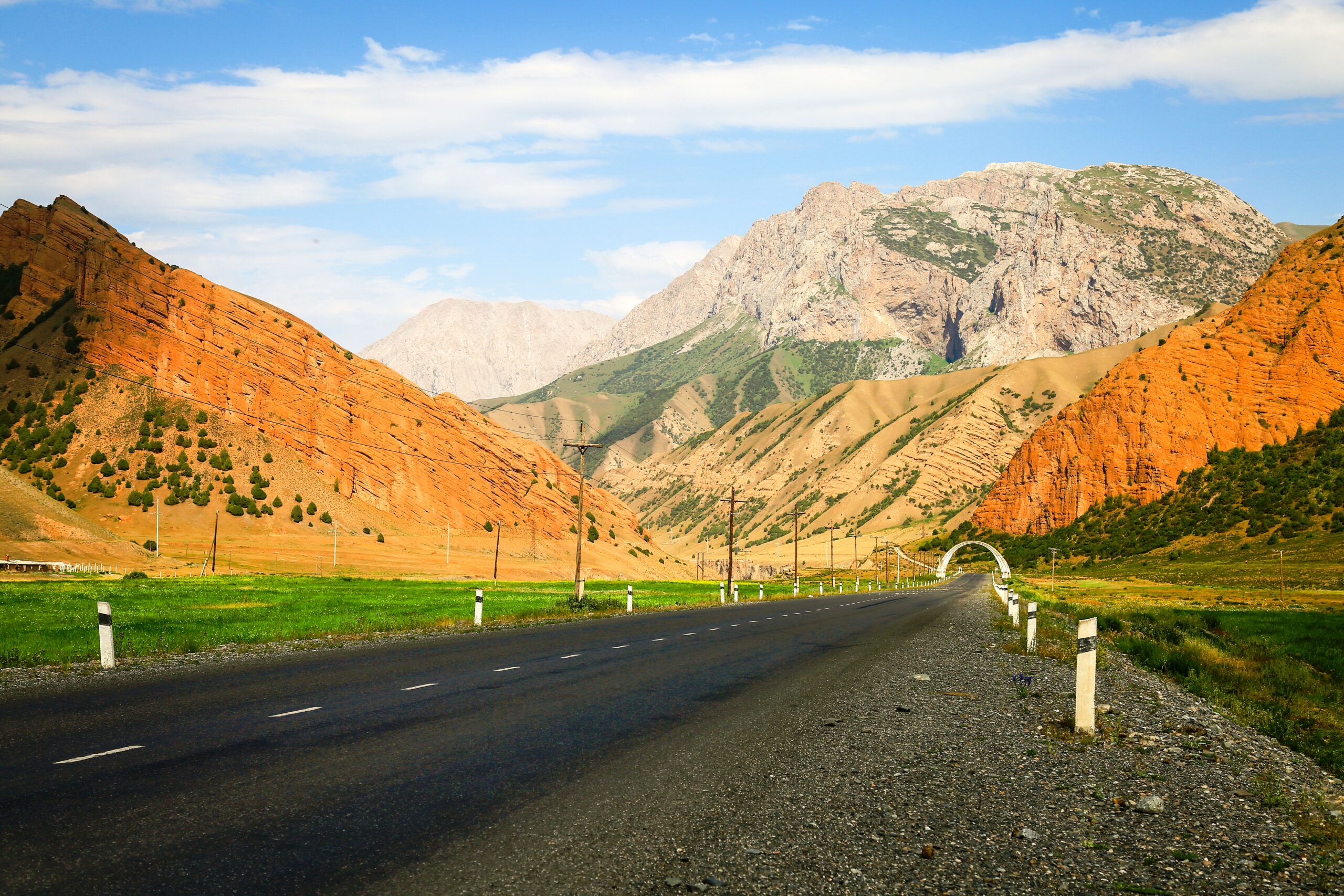
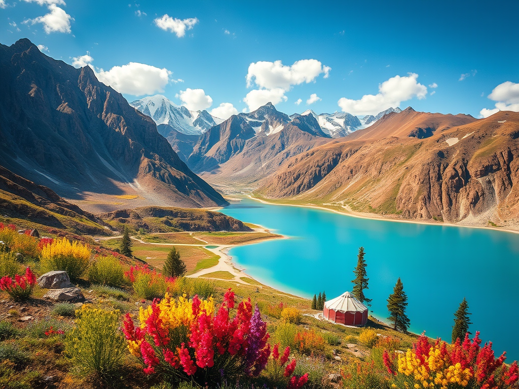
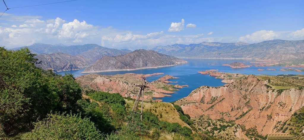
Departure from Osh, in the morning on the way stop for enjoy the grandiose view then continue driving to Sary-Mogol, lunch in Alay travel house then, driving(1hour) to Tulpar kol yurt camp. Afternoon walk around the lakes. Tulpar-Kol, known for its picturesque yurt camps, is an incredible destination for all types of travelers, whether active hikers or those looking for a more relaxed experience. Guests can stay in traditional yurts.
Accommodation: yurt camp (twin, double and single beds in yurts are available) outside share solar water heater shower, water running toilets.
Connection: there is solar electricity for phone charge and signal (megacom, O) and Wi-Fi.
Driving distance: 245km /152miles.
Time of reaching: 5hours (excluding break and lunch times).
Ascent/Descent: 4740/2210 meters.
Highest and lowest points: 3610/980 meters.
Accommodation altitude: 3500.00 Meters | 11482.94 Feet.
Tour category: easy.
Total distance: 10km.
Hiking time: 7 hours (excluding lunch and break time).
Ascent/Descent: 835/832 meters.
Highest and lowest points: 4116/3387 meters.
Difficulty Level: Moderate to challenging (where is walking up to top).
Accommodation type: Same camp.
leave your heavy bags in the yurt and begin your trek towards the Panorama View Lakes.
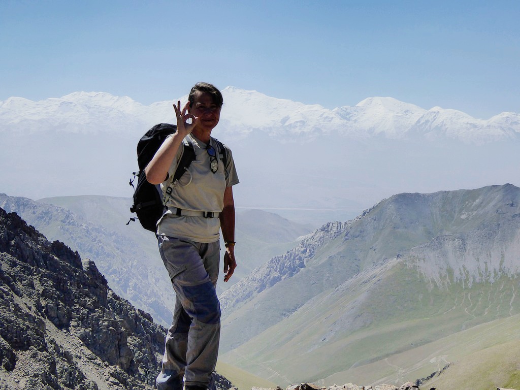
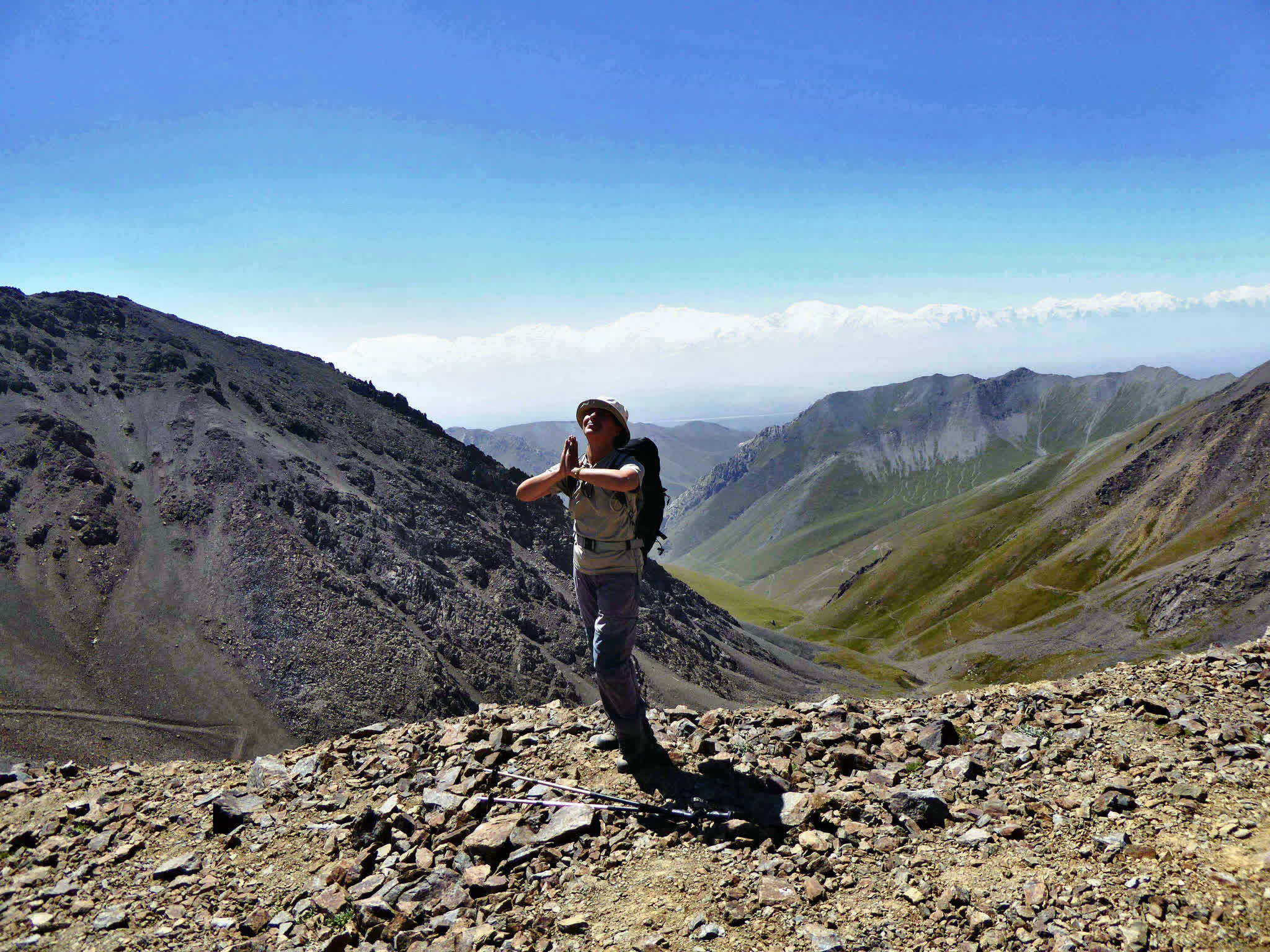
The trail offers breathtaking panoramic views of the Alai Valley and surrounding peaks, making it a perfect spot for photos and moments of reflection in the serene high-altitude environment. After soaking in the stunning scenery, return to the yurt camp for a well-deserved rest. In the afternoon, take advantage of the extra time to relax, enjoy the tranquil atmosphere, and prepare yourself for the upcoming trekking adventures.
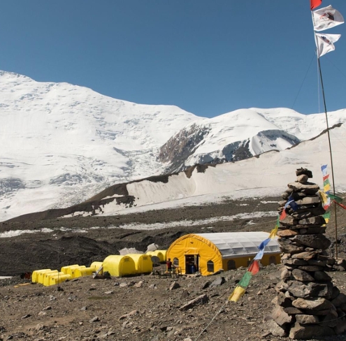
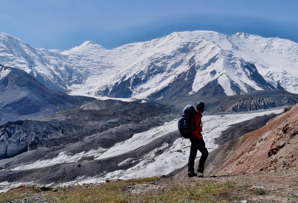
The trek to Advanced Camp is an unforgettable journey that takes you past the Base Camp of Lenin Peak and the breathtaking Traveler's Pass, standing at an altitude of 4120m. After approximately 6-7 hours of trekking, you will arrive at Advanced Camp, also known as Camp 1, situated at 4400m above sea level.
This camp is located in a cold, snowy environment, with snow permanently covering the Peaks. From here, the views are truly incredible—you'll have a sweeping panorama of the majestic Lenin Peak, towering above you like a snow-clad giant. Standing so close to this iconic peak is a humbling and awe-inspiring experience.
Total distance: 14km 8.80 miles.
Hiking time: 5hours (excluding lunch and break time).
Elevation gain: 1030 meters /Elevation loss 140m.
Highest and lowest points: 5100/3500 meters.
Accommodation altitude and type: Tent on the wooden floor with matrass (Need to take your sleeping bag) and altitude is 4400.00 Meters | 14435.70 Feet.
Connection: there is no signal But paid Wi-Fi in 5G (star link) is available.
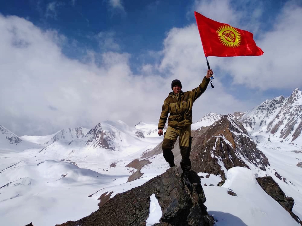
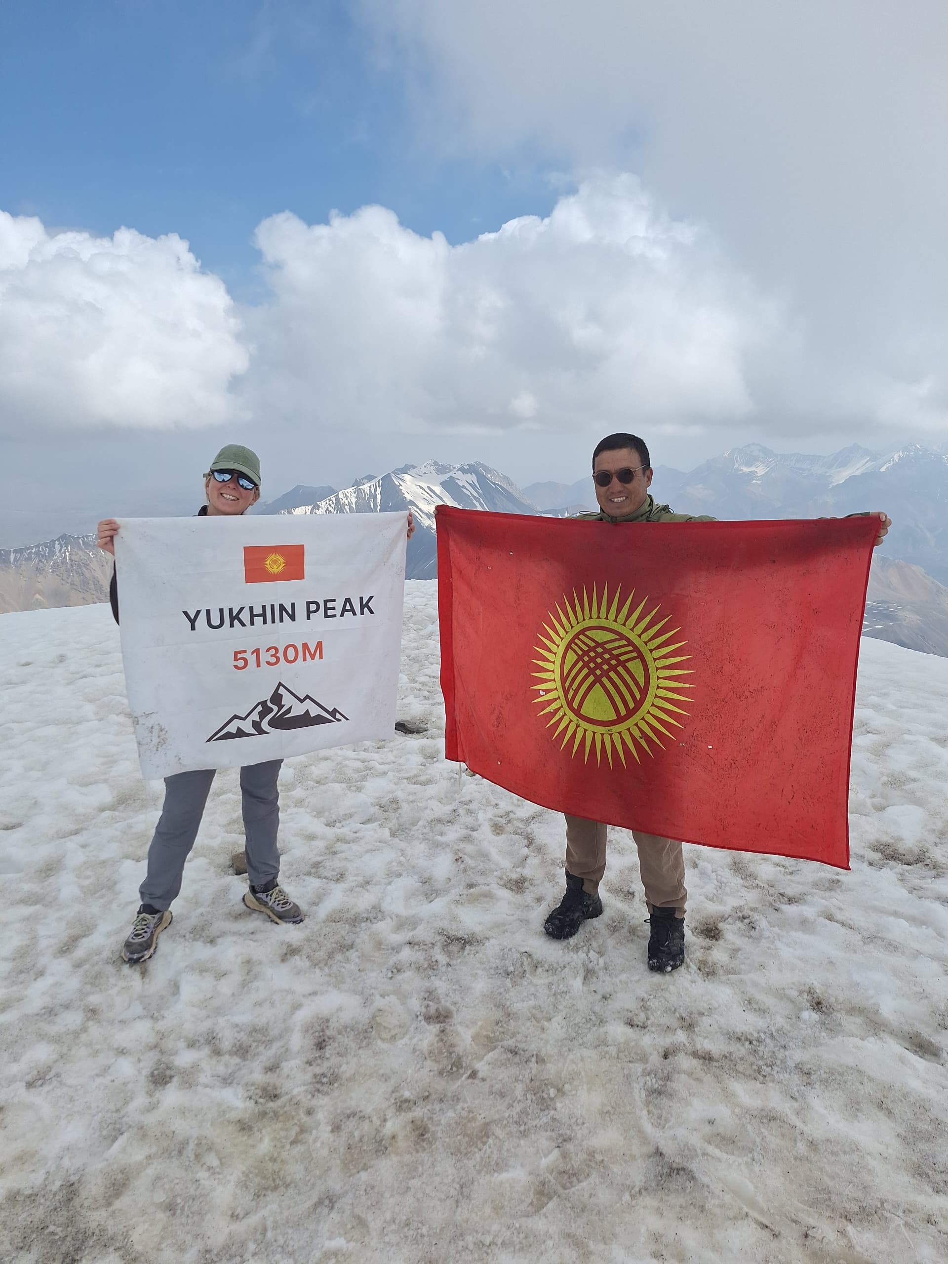
After breakfast, begin your ascent to Peak Yukhin, standing at an impressive altitude of 5130m. This is one of the ideal acclimatization peaks, allowing climbers to reach the summit without equipment (crampons or ropes) However, the climb demands significant physical effort and determination to reach the top.
Upon successfully reaching the summit, take a moment to enjoy the breathtaking views and capture unforgettable photos. After a brief rest at the peak, descend to same camp in the afternoon preparation for second camp of next day.
Up/down to Yukhina: (lonest 5.40km (round way).
Walking up: 2h and down is 1h.
Total time is 3 - 4 h.
Vertical gain: 730m.
Highest and lowest points: 5100/4400 meters.
Difficulty Level: challenging.
Total distance: 7km (one side).
Hiking time: 6 -7 hours.
Ascent/Descent: 1020/30 meters.
Highest and lowest points: 5400/4400 meters.
Accommodation altitude and type: Tent (must be climbing tent and sleeping bag with -30 degree).
Overnight altitude: 5400m.
Connection: there is no signal.
Difficulty Level: difficult.
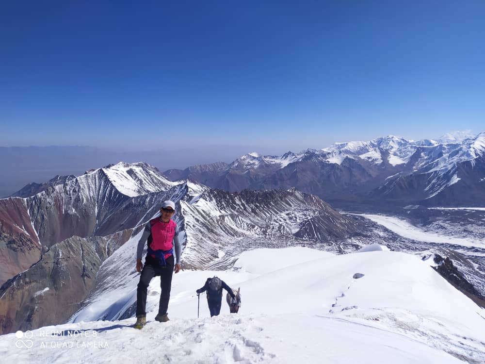
The ascent from Camp 1 to Camp 2 is carried out only under favorable weather conditions and after proper acclimatization. This stage involves crossing a glacier with technical sections, therefore an early alpine start is essential.
Climbers typically wake up at 03:00, followed by a light breakfast. The departure from Camp 1 should be no later than 04:00 in order to cross the glacier while snow and ice conditions are more stable.
The route between Camp 1 and Camp 2 includes a technical glacier section with deep crevasses. One of the main obstacles is a large crevasse crossing equipped with a ladder. All participants must use proper mountaineering equipment, including crampons, harness, rope systems, ascenders (jumars), and protective gloves. Climbers move carefully while roped together under the supervision of guides. After safely crossing the crevasse section, the route continues gradually uphill across the glacier toward Camp 2. The pace should remain slow and steady, allowing the body to adapt to the increasing altitude and lower oxygen levels.
During the ascent, climbers must carefully monitor their physical condition.
Symptoms such as severe headache, dizziness, nausea, vomiting, or extreme fatigue may indicate altitude sickness. In such cases, the safest decision is to descend back to Camp 1.
If climbers remain in good condition and the weather stays stable, the ascent continues to Camp 2, where the team will arrive later in the day and spend the night for further acclimatization and preparation for higher altitude climbing.
The day begins with a very early alpine start. Climbers usually wake up around 04:00–05:00 a.m. A light breakfast is recommended to maintain energy, even if appetite is reduced due to the altitude.
The route continues upward across a 35–40° snow slope, consisting mostly of firm snow and glacier terrain. Because of the steep gradient and glacier conditions, climbers must always use proper mountaineering equipment, including crampons, rope, ice axe, harness, and helmet. The team moves slowly and steadily due to the increasing altitude and lower oxygen levels.
After reaching Camp 3 (around 6100 m), if time and weather conditions allow, climbers may leave their heavy equipment at the camp and continue toward Razdelnaya Peak (6150 m). The ascent to the peak usually takes 1–2 hours.
However, if the team arrives at Camp 3 later in the day or weather conditions are not favorable, the ascent to Razdelnaya can be postponed until the following morning. In this case, climbers will spend the night at Camp 3 and make an early morning ascent to Razdelnaya Peak, returning back to camp afterwards. This approach is commonly used by many climbers as a safe and effective acclimatization strategy on the Lenin Peak route.
From the summit of Razdelnaya Peak, climbers can enjoy a clear and close view of Lenin Peak (7134 m) and the surrounding Pamir Mountains before descending back to Camp 3 (6100 m) for rest.
After an early morning descent from Razdelnaya Peak (6150 m), the team carefully returns along the glacier route back to Advanced Base Camp. The descent requires attention while crossing the glacier and crevasse sections. Upon arrival at the camp, climbers can rest, recover, and enjoy a warm meal after the successful ascent.
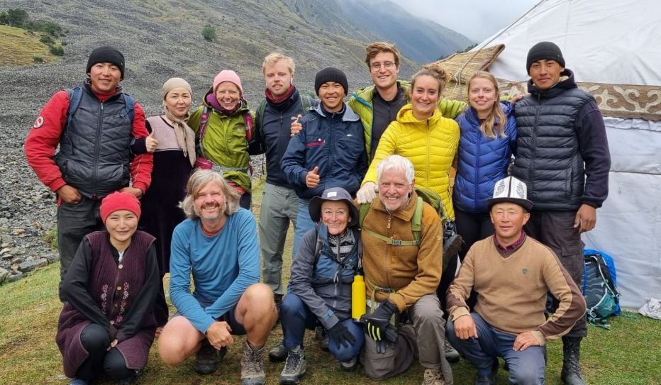
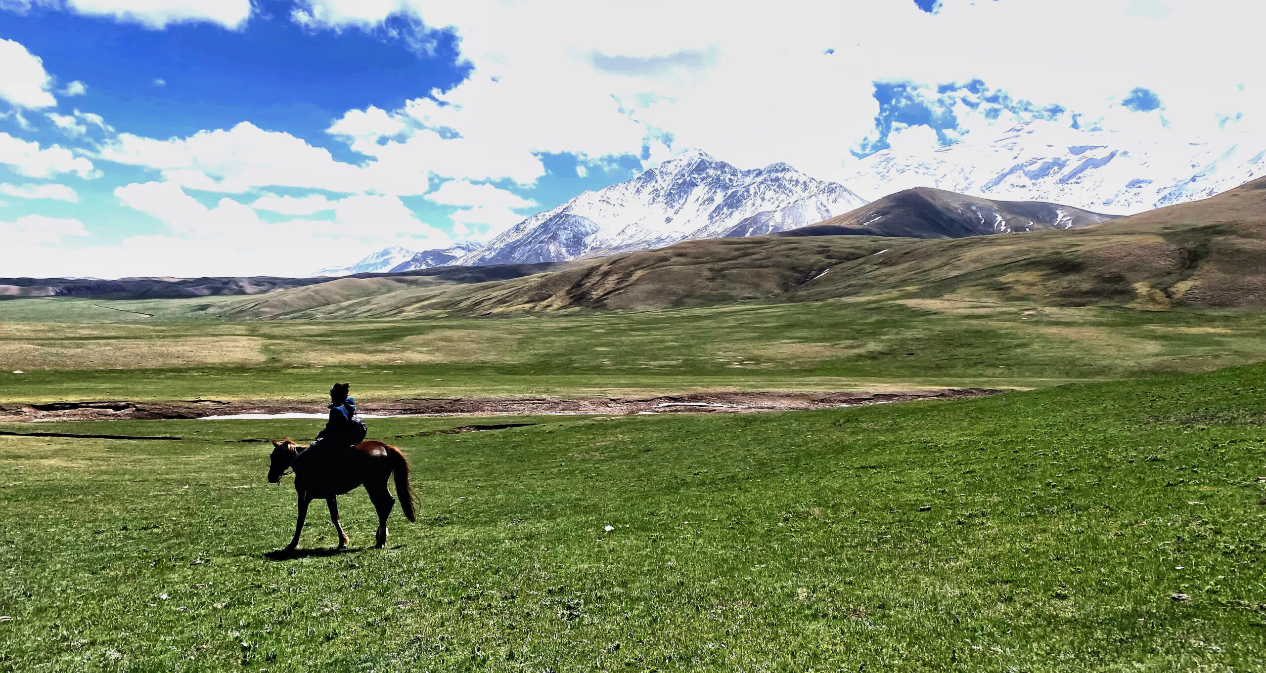
Today the group descends from the glacier area back to Tulpar Kol Yurt Camp. The trail follows the beautiful alpine valley with impressive views of the Trans-Alay Range. In the evening, a farewell dinner will be organized at the yurt camp, where participants receive small traditional gifts from the local providers.
A relaxing day at Tulpar Kol Lake to recover after the expedition. Guests can enjoy the peaceful mountain scenery, short walks around the lake, and experience local nomadic hospitality.
After breakfast, transfer to Osh (approximately 270 km). Upon arrival, a short city tour will be organized, including a visit to the famous Suleiman-Too Mountain. In the evening, flight from Osh to Bishkek, marking the end of the adventure in the Pamir Mountains.

![IMG-20231106-WA0009[1]](https://alaytravelguide.com/wp-content/uploads/2026/05/IMG-20231106-WA00091.jpg)
Write Your Review