14 Days Travelling in Kyrgyzstan
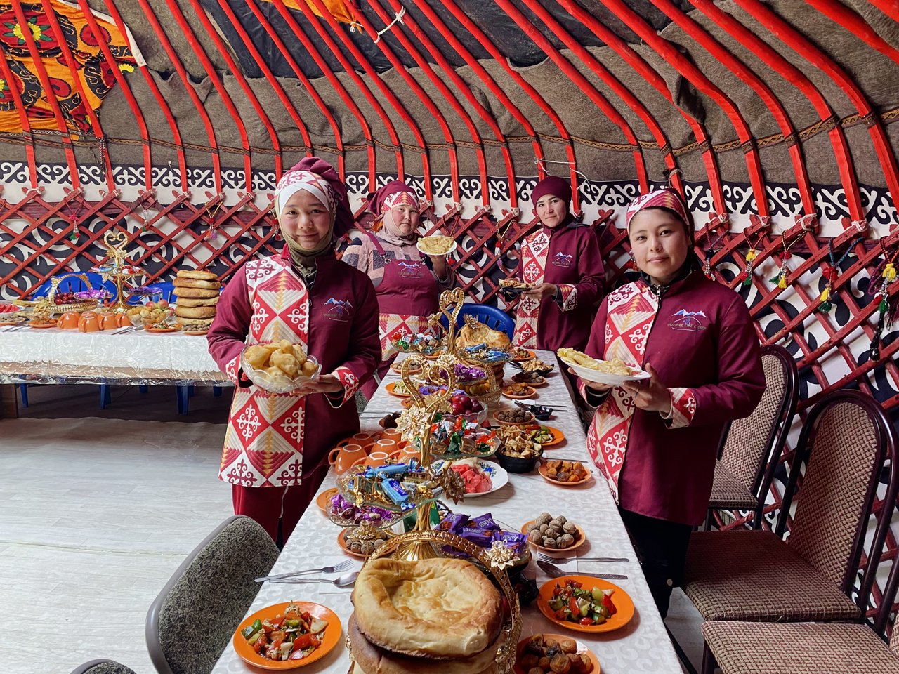
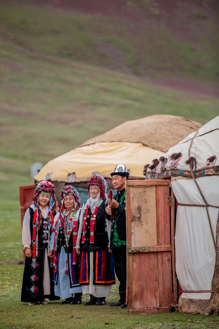
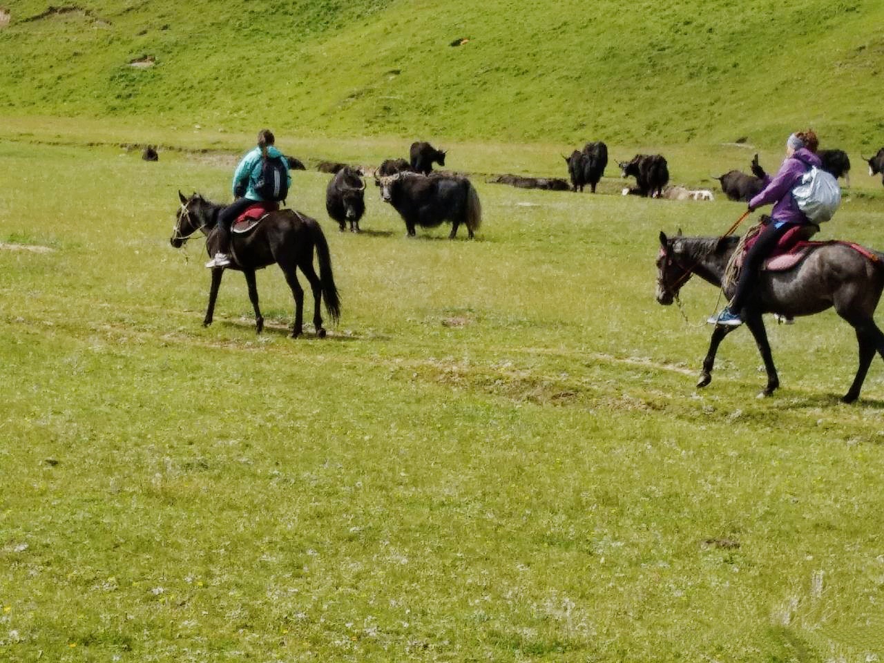
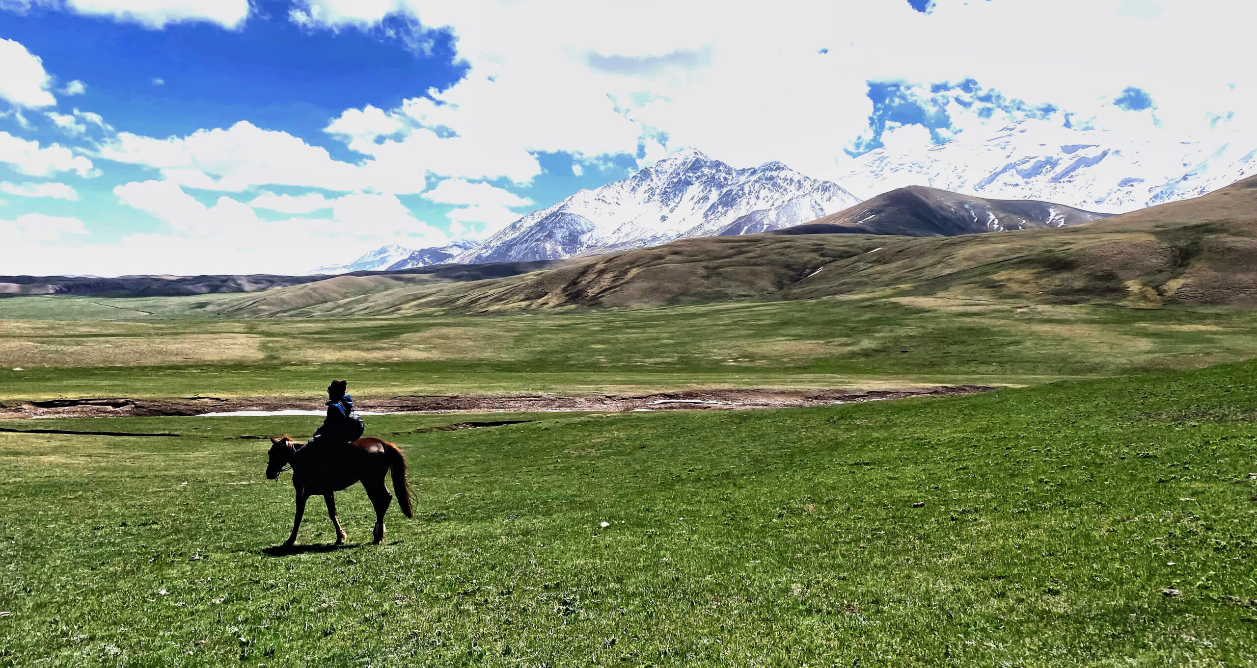
World nomadic lifestyle.
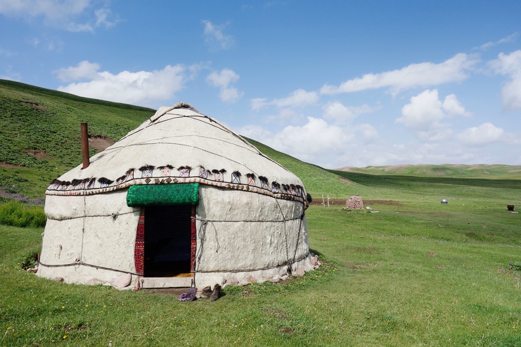
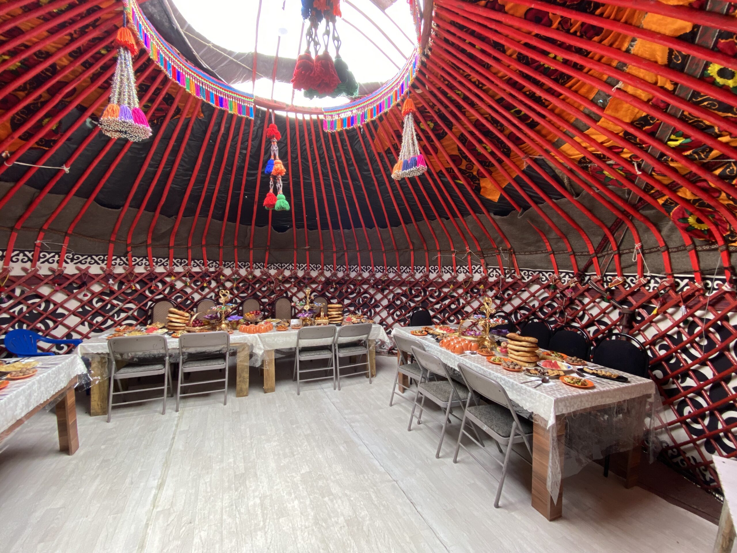
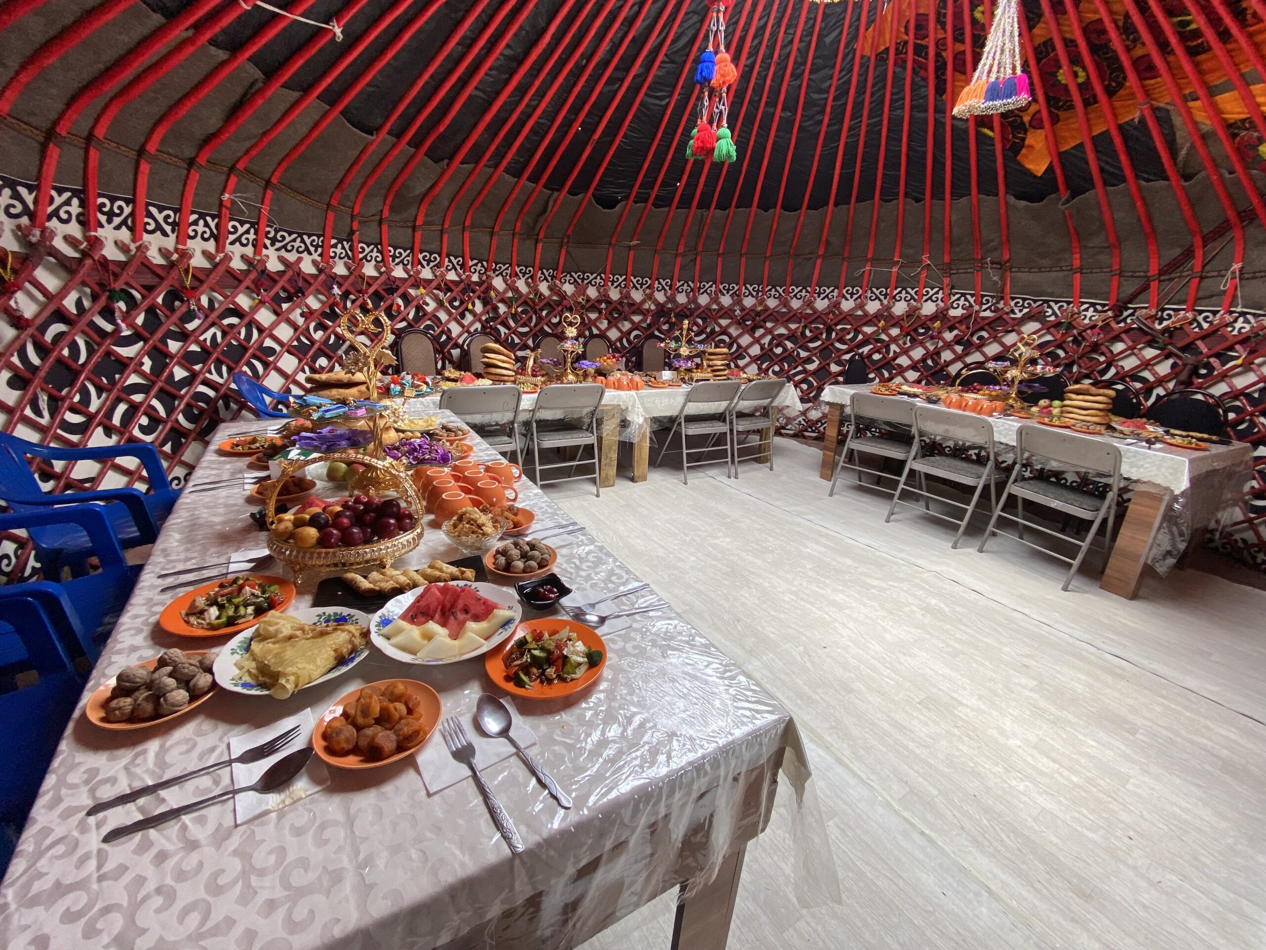
Unusual yurt hut in Central Asia.
Some parts of the Silk Road and the stopping places of Tash-Rabat caravanserai.
World Walnut Forest in Arslanbap.
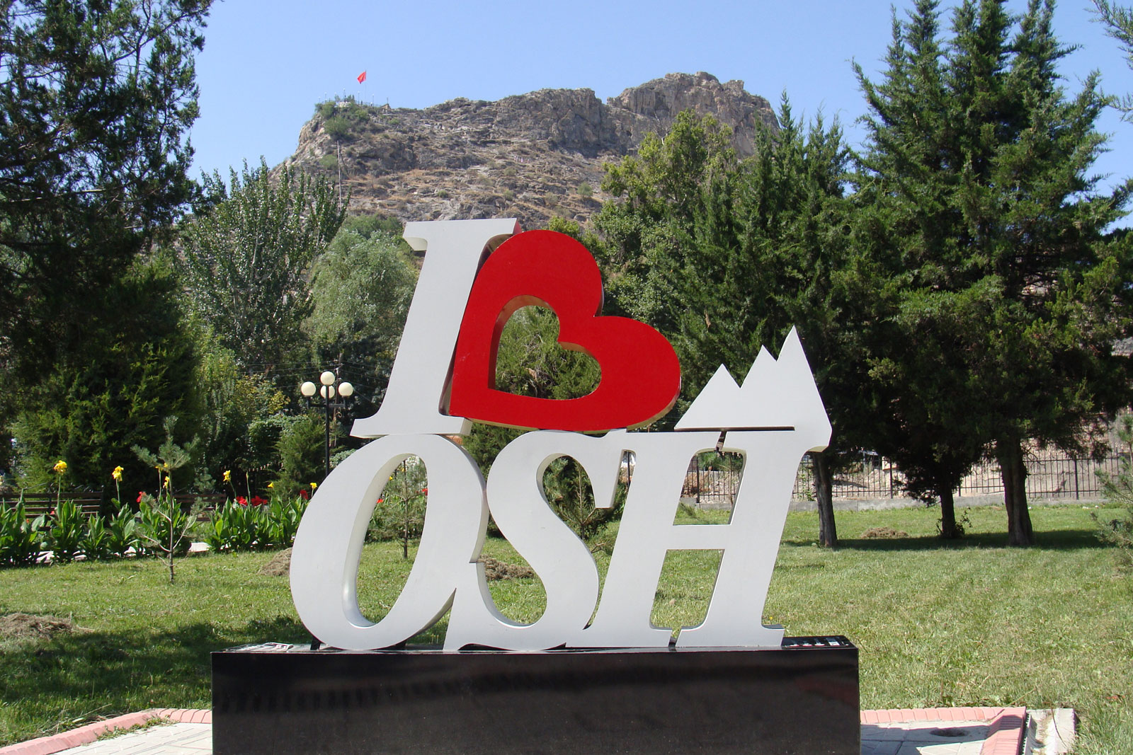
Osh is world famous for its 3,000-year-old historic city.
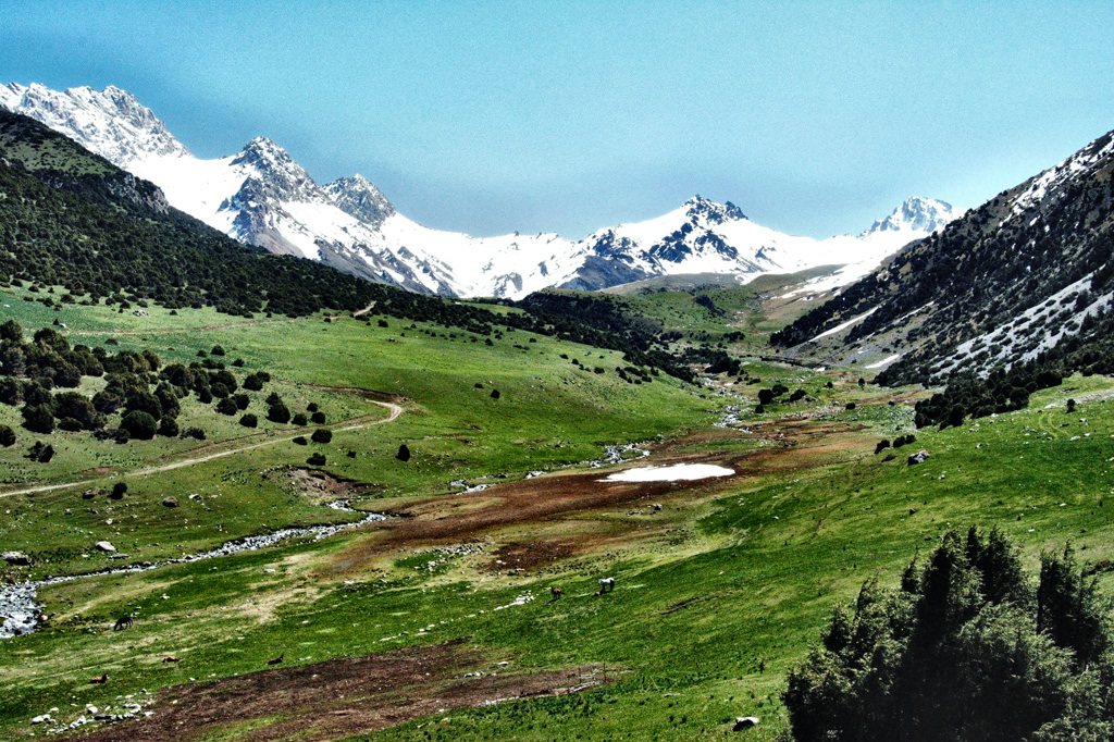
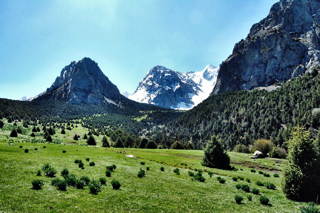
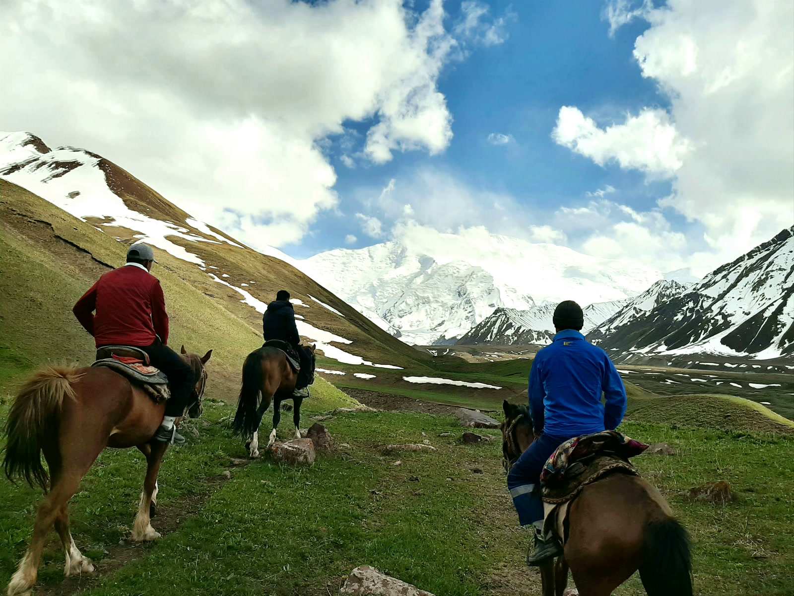
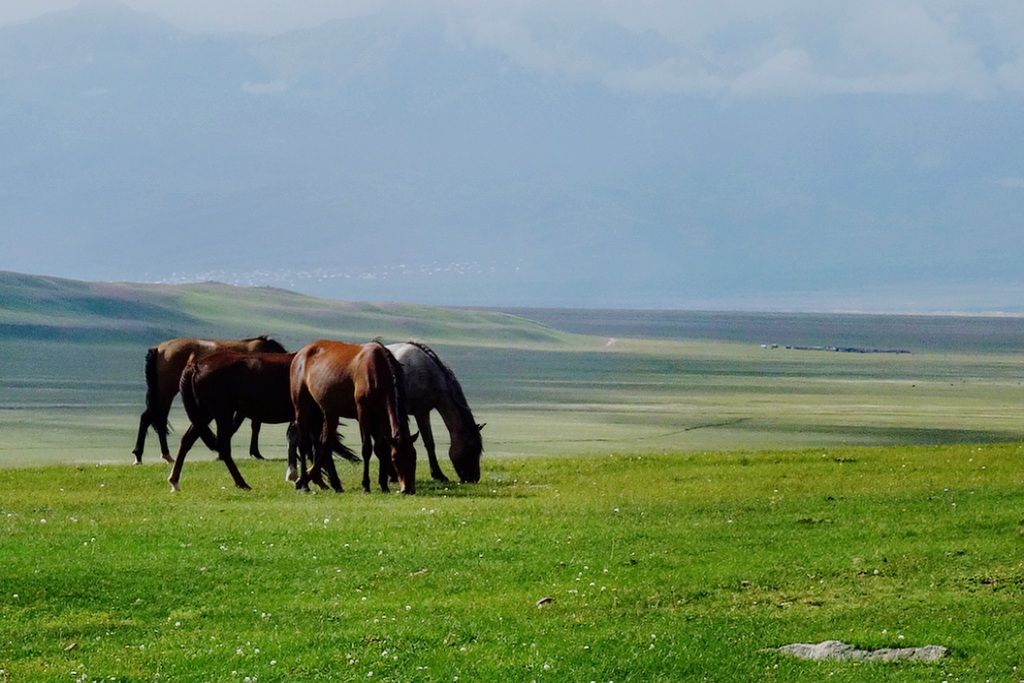
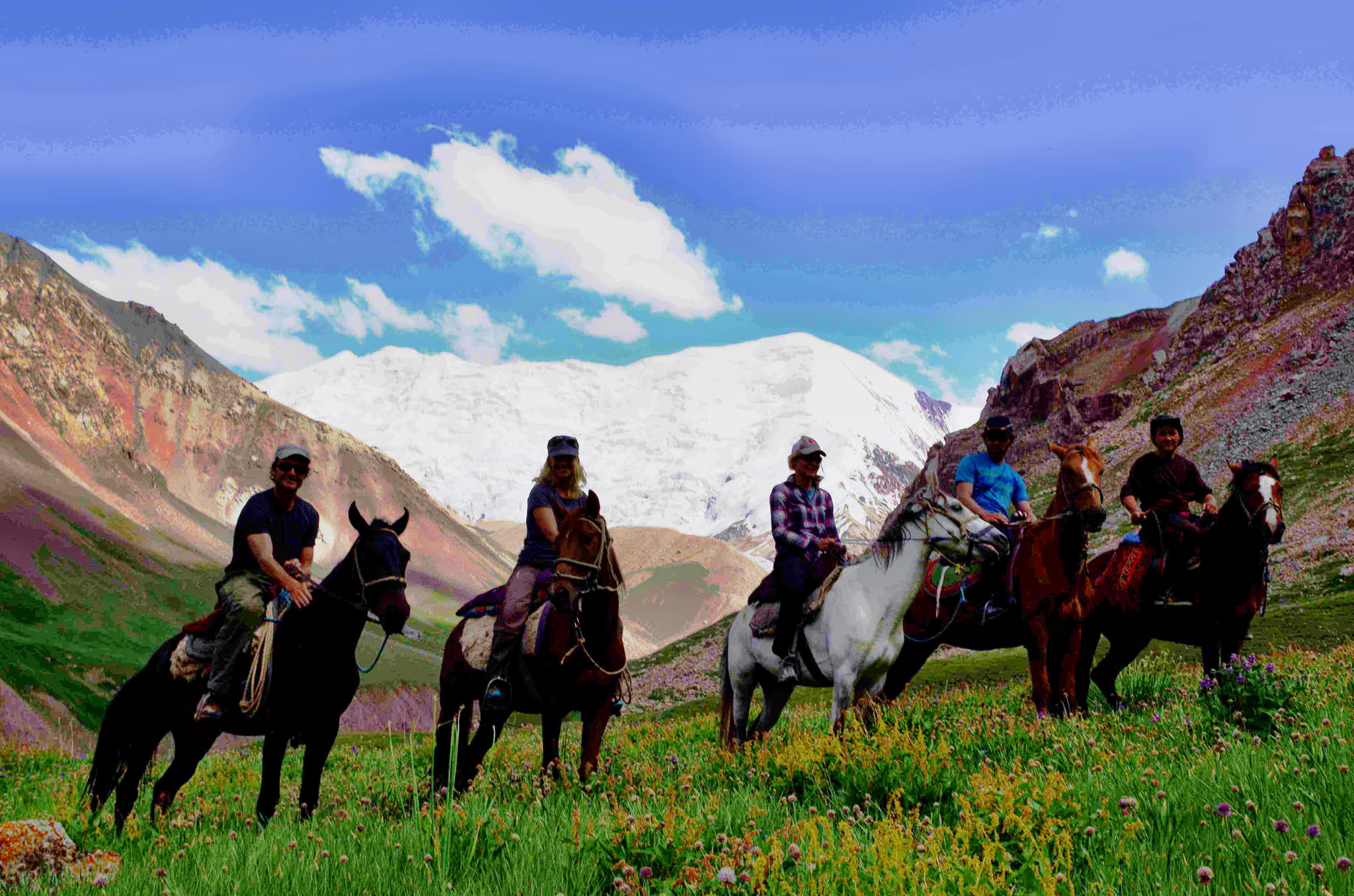
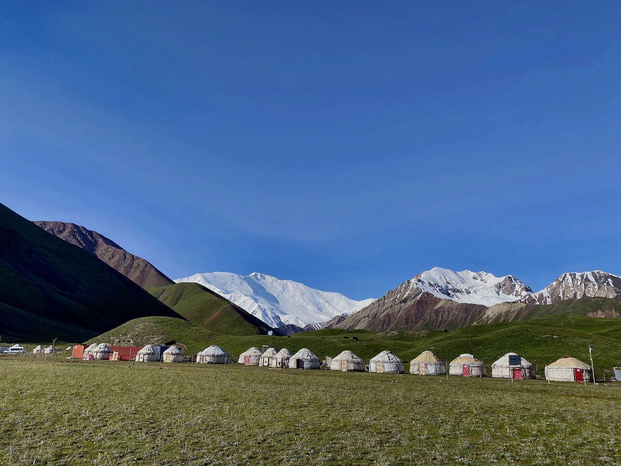
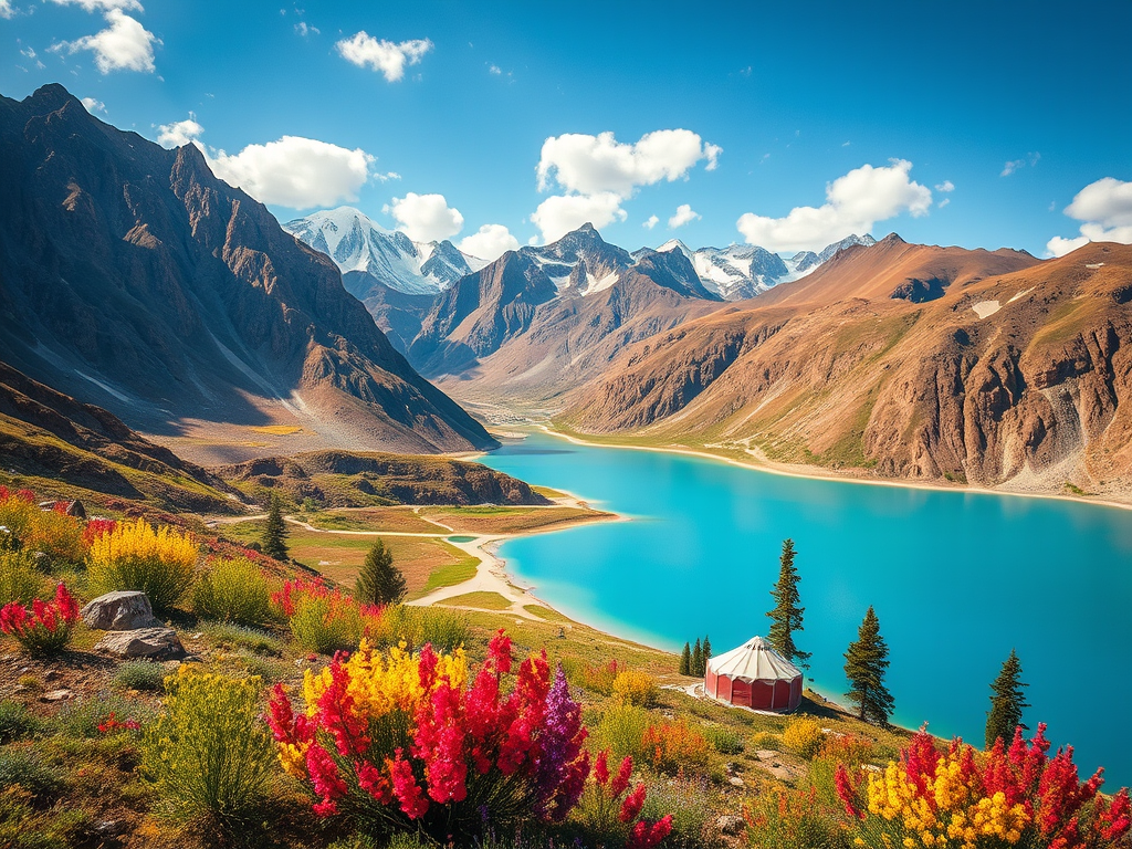
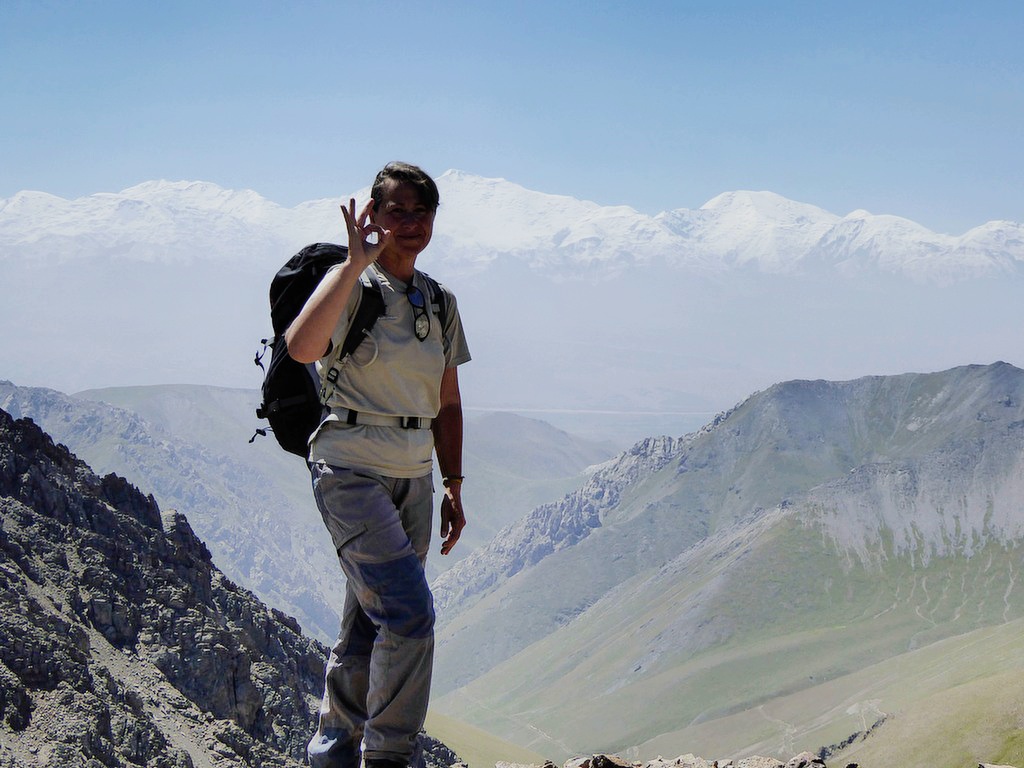
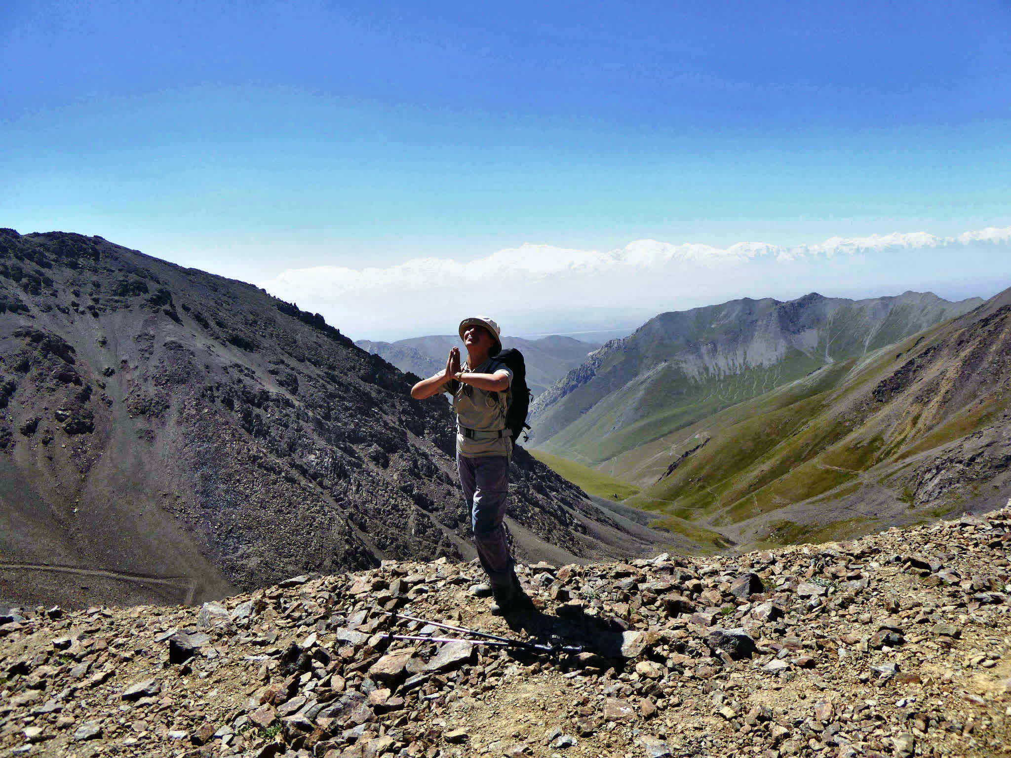
The gracious Tulpar Lake and unusual forms of 42 lakes are reflected in front of Lenin Peak (7134 m).
| Destination |
Bishkek | Son Kol | Tash Rabat | Kazarman | Jalal-Abad | Arslanbap | Sary-Chelek | Osh | Tulpar-Kol | Lenin Peak Base Camp | Sary-Mogol | Koshmoinok | Kojo-Kelen village |
| Depature |
Yes Required |
| Departure Time |
Contact us for more information |
| Return Time |
Contact us for more information |
| Included |
- Transport from Bishkek to Bishkek
-
English-speaking trekking guide according to the program
- 13 nights with meals (breakfast, lunch and dinner) flight (international and domestic)
-
border permit for Lenin Peak & Tulpar-Kol area
|
| Excluded |
- International Flights
- Extra services except the program
- Tip (optional)
|
|
|
Price
| Number of tourists |
2 |
|
|
| Price in USD Dollar for the group |
$4800 |
|
|
Details
- Duration: 14 days
- Category: driving and trekking tour (Kyrgyzstan)
- Best season: June– August
- Group size: any
- Date: any date
- Total distance: 2000km for driving and trekking distance 95km
- Essential: Trekking boots, weatherproof warm clothes, fur-cap, and protective things for sun.
Meet at the airport Manas.
Transfer to a hotel (30km 40min) , after check in the hotel.
Food at a café.
Night in hotel.
Height of sea level of Bishkek is 767m.
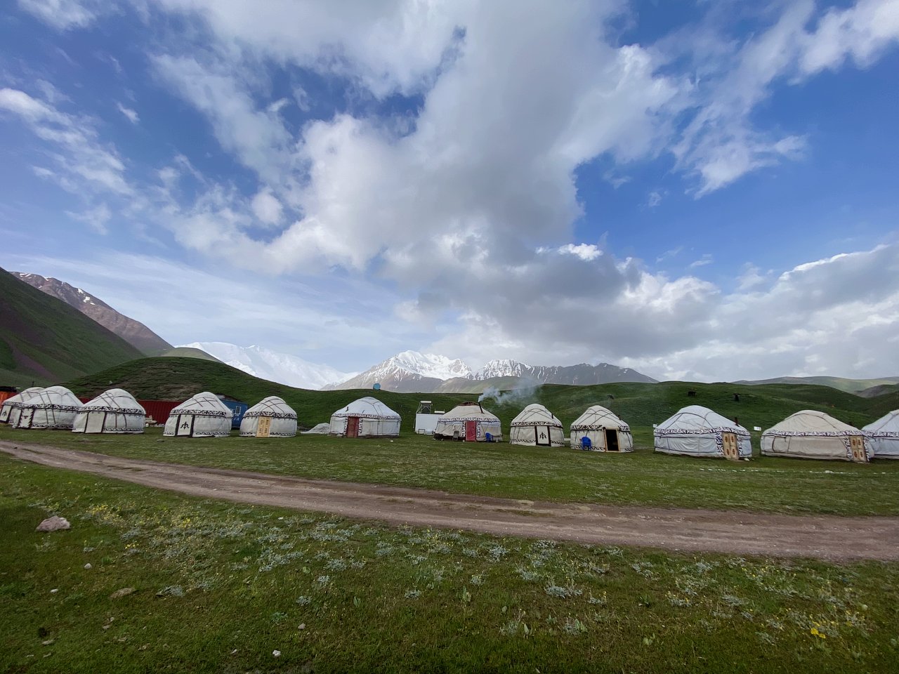
Transfer to Son Kol lake. On the way visit the Burana tower. Upon reaching the Son-Kul lake, accommodation in yurts (traditional dwelling of Kyrgyz shepherds).
A huge number of yurts around the lake and the size of lakes in Kyrgyzstan, it ranks second and is popular with thousands of travelers.
Lunch on the route
Dinner and B&B
in yurt (altitude above sea level of overnight 3200m)
Transport
Guide
After breakfast transfer to the Karavan-SarayTash-Rabat (stone building 14c). Tash-Rabat is located in the heart of the Tien-Shan mountains. This building has no analogues in the world as it was built of stones and is also located inside the mountain at an altitude of 3200 m above sea level. It is the remains of one small town on the Great Silk Road used as lodging for travelers. In total, the building has 31 rooms. The thickness of the walls reaches 1 meter. Also you will see zindans (underground prisons) for criminals.
Lunch on the route
Dinner and B&B in yurt
Transport
Guide
height above sea level 3500m
Kazarman is the village and capital of Toguz-Toro district which is located in the eastern part of Jalal-Abad region, 157 km from the Jalal-Abad and 220 km from the Naryn.
Its population was 9,486 in 2009.
The Elevation: 1,310 m.
The linked road Kazarman-Jalal-Abad is closed in winter (October-may) time due to bad condition.
Lunch on the route
Dinner and B&B in guesthouse
Transport
Guide
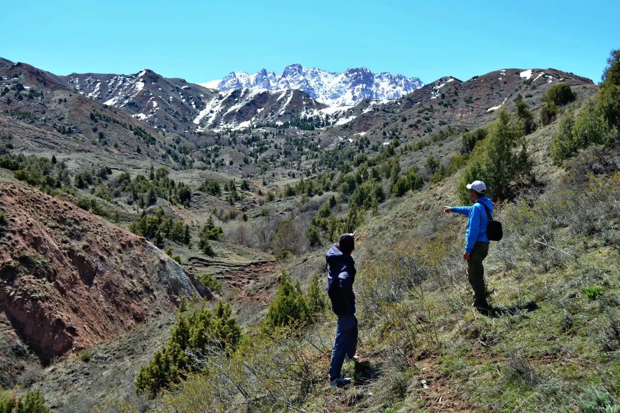
Arslanbob village is famous with walnut forest it is the largest walnut grove on earth. The walnut forest is located in 60,000 hectares (150,000 acres). The first known export of Kyrgyzstan to Europe was Arslanbob walnut. There are two waterfalls in the area that attract tourists. The population of Arslanbob was 11,291 in 2009. The majority of the population are Uzbeks, and less than 5% are Kyrgyz. Lifestyle of Uzbek and Kyrgyz people attracts with it’s uncommon rituals.
Lunch on the route at a café
Dinner and B&B in guesthouse. Transport. Guide, altitude of sea level 1600 m
After breakfast start the hiking in Arslanbap. At first walk to big waterfall then descend to the small waterfall and walk up to Panoramic view of the village, our short hiking ends around lunch time, afterward leave to Arkyt village under the Sary-Chelek lake.
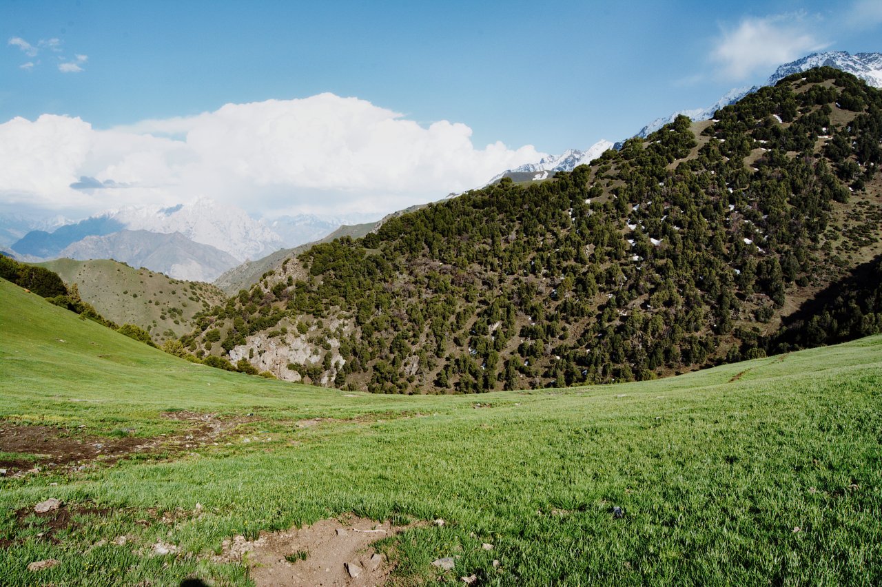
Sary-Chelek a natural reserve is located in Jalal-Abad region in the west of Kyrgyzstan. The reserve was established in 1959, and in 1978 was recognized by UNESCO as the World Biosphere Reserve. The reserve is located at an altitude of 1200 to 4250 meters above sea level. The lake and the surrounding biosphere reserve of Sary-Chelek is one of the most beautiful sights of Kyrgyzstan. The habitat for 1,000 different plants and rare mammals, such as the bear and lynx, Sary-Chelek - is an excellent place for visit of travellers.
Lunch on the route
Dinner and B&B in guesthouse
Transport
Guide
Altitude of sea level of village Arkyt where the overnight is provided 1230 m
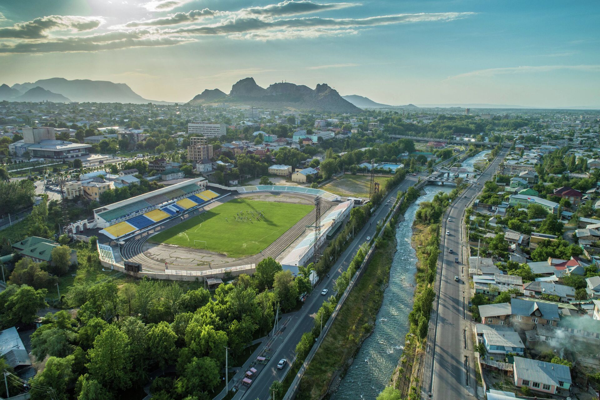
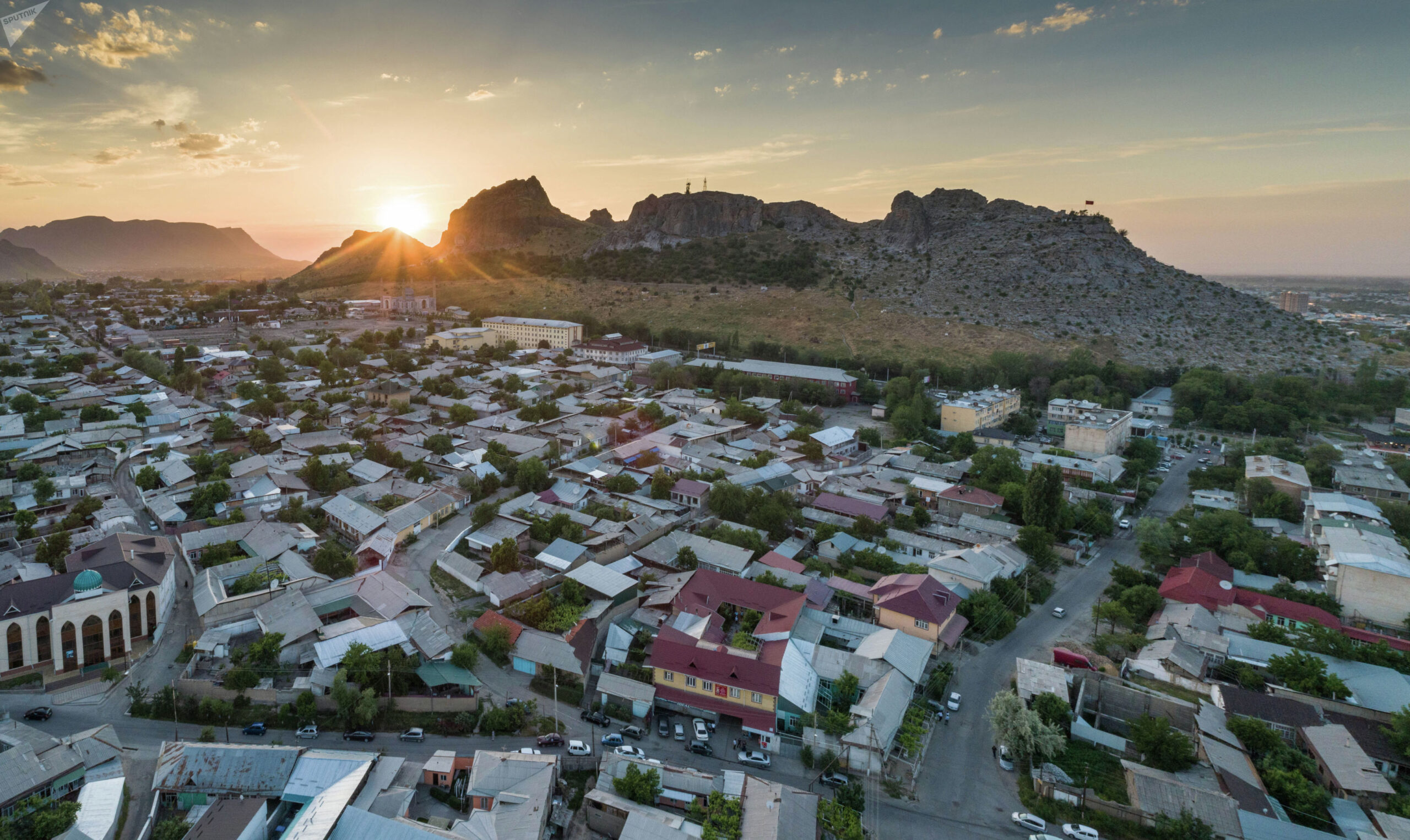
Osh is the second largest city in Kyrgyzstan, located in the Fergana Valley in the south of the country and it has 3,000 years old. In the center of Osh is located Sulaiman Too it is one great panoramic mountain over the city.
Lunch on the route
Dinner and B&B in guesthouse Transport Guide, altitude above sea level is 960m
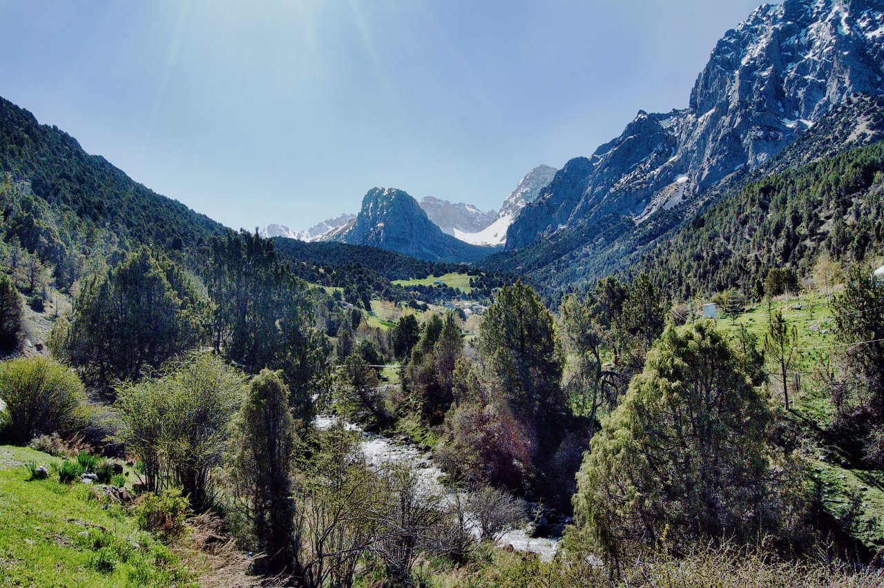
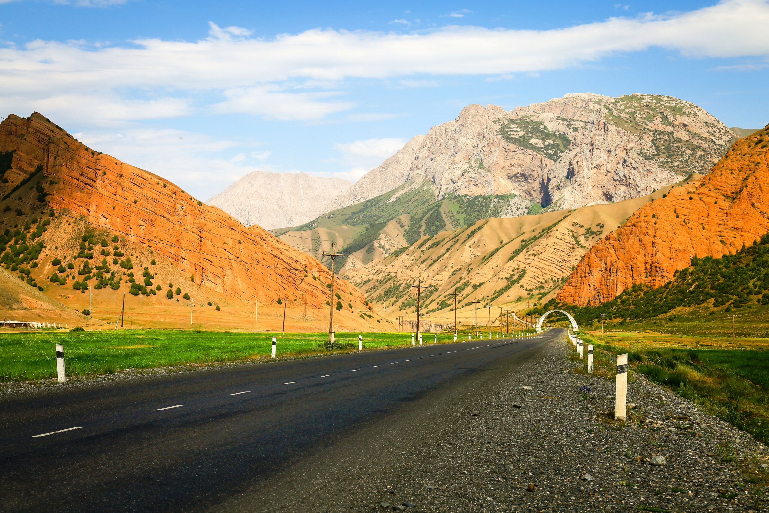
Driving along the M41 is Alay valley, it takes you through some of the world's most rugged and stunning mountain landscapes, with towering peaks, deep valleys, and pristine alpine lakes.
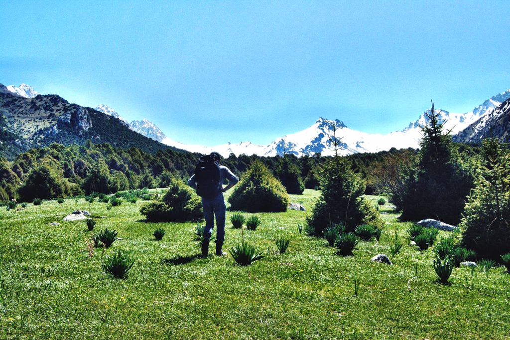
Tulpar-Kol Lake is situated in a beautiful location on the lakeside and dotted with edelweiss 3500 meters above sea level. This area lies south of SaryMogol at the foot of the huge Pamir-Alay mountains home to Lenin Peak. The flora and fauna of the region is fascinating for hiking around the landscape.
After arrived, lunch then hiking to the best view of Lenin Peak and around the lakes then enjoy a delicious dinner and overnight in the yurts.
Total distance: 245 km, 118 miles.
Level: easy.
Hiking: 2-4 hours.
Accent and Descent: 4670/2140 meters.
Highest and lowest points: 3615 /980meters.
Accommodation type: yurt camp.
Accommodation altitude: 3500.00 Meters | 11482.94 Feet (above sea level).
Connection: There is signal, Wi-Fi.
Distance: ~6 km round trip
Duration: 2–3 hours
Difficulty: Easy to moderate
Description:
This is one of the most popular short hikes in the region. Starting from Tulpar-Kol, the trail ascends gradually to the Lenin Peak Base Camp at ~3,600 meters. You’ll enjoy panoramic views of the glacier and the massive Lenin Peak. The area around the base camp is bustling with climbers during the summer.
After grandiosely hiking arrive back to same yurt camp the drive to Sary-Mogol. Stay in guesthouse.
Today we continue our trekking in north range of Allay valley (Trans-Alay). From Sary-Mogol to trailhead we go by car (1h) then trekking starts it is going to be bit taught trek because we go up to the pass called Sary-Mogol pass (4270 meters) and Besh-Kol lake. Our daily route takes for 6-8 hours of walking up in rocky path. At the top of the pass we enjoy the stunning scenery of Besh-Kol lakes. Then keeping the way to other side until the yurt camp.
Approximate trekking distance: 14km, 8.70 miles.
Time of hiking: excluding driving 14km 6hours.
Ascent/Descent: 910/790 meters.
Highest and lowest points: 4270/3380 meters.
Accommodation altitude: 3382.00 Meters | 11095.80 Feet.
Connection: No electricity, internet and signal (power bank is recommended).
Despite the lack of roads, local families Orozgul and her daughter Aigul set up yurts for overnight stays (shared living) with flush toilet to make travelers more comfortable as they did not have to carry a lot of things.
Head east following the river and slightly descending to the end of the beautiful mountain gorge. Enjoy grandiose views of the Kichik Alay or Trans Alay mountain range, at first we cross a small village under Sary-Mogol further direction of travel turns to the right on the dirty auto road after 2-3 hours we reach a small village Kyzyl-Chara and stop here for lunch in home stay or at a cafes on the way, then forward go on to yurt camp in Koshmoinok.
Approximate trekking distance: 18km (11.18miles).
Hiking time: 7h (excluding lunch and break time).
Ascent/Descent: 830/1460 meters.
Highest and lowest points: 3467 /2467meters.
Accommodation altitude 2822.00 Meters | 9258.53 Feet.
Connection: No electricity, internet and signal (power bank is recommended).
Despite the lack of roads, local family from Kyzyl-Shoro village (name of owner is Begali and Nurdoolot) installed solar (water) heater shower and water running toilet. There 2 share yurts and a hut for eating.
We will begin along the way, enjoy panoramic views of Sary-Bel (3150m) pass and untouched nature, with the sound of birds and rushing rivers as your companions. This scenic trail leads you to the picturesque village of Kojo-Kelen, renowned for its red rock formations and authentic charm.
Evening Experience in Kojo-Kelen:
Upon arrival, settle into a cozy homestay where you’ll be welcomed with warm Kyrgyz hospitality. Before dinner, take a short walk to discover two local gems:
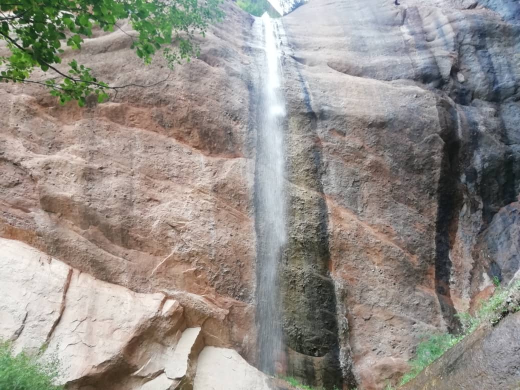
Waterfall: A hidden cascade that offers a refreshing ambiance, perfect for relaxation and photography.
Blue Cave Pool: A magical spot where the turquoise water glows inside a natural cave—ideal for a quick dip or simply admiring its beauty.
End your evening with a stroll around the village, immersing yourself in the peaceful rural lifestyle, before enjoying a hearty dinner featuring local dishes.
Approximate trekking distance: 10km (6.50miles).
Hiking time: 6h (excluding lunch and break time).
Ascent/Descent: 340/960 meters.
Highest and lowest points: 3127 /2230meters.
Accommodation altitude 2230.00 Meters | 7316.27 Feet.
Accommodation type: local homestay, share rooms in the traditional floor blankets with hot shower and flush toilet.
Connection: there is electricity and Wi-Fi.
Scenic Drive Back: Depart in the morning for Osh via a dirt but incredibly scenic road. Along the way, enjoy:
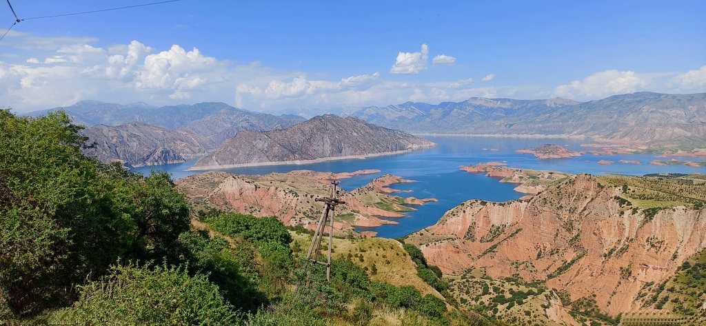
Papan Reservoir – A perfect stop for photos of the turquoise waters against a backdrop of mountains.
Traditional Kyrgyz Villages – Observe daily rural life and experience the charm of remote mountain settlements.
Arrival in Osh: End of the tour, with an optional visit to Sulaiman-Too Mountain or the local bazaar.


![IMG-20231106-WA0009[1]](https://alaytravelguide.com/wp-content/uploads/2026/05/IMG-20231106-WA00091.jpg)
Write Your Review