
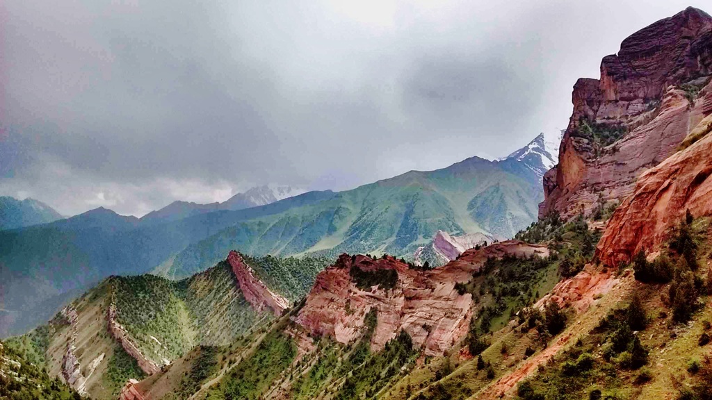
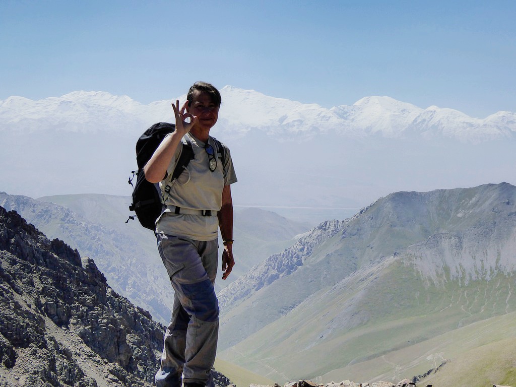
Pamir-Alay Mountains is one of the largest mountain ranges in the Kyrgyz Republic. As is known, one part of the Silk Road passed through the Pamir-Alay highway. The Lenin Peak area is one of the most picturesque climbing parts of the Pamir-Alay Mountains and the most beautiful points between Alay and Chong Alay regions is Tulpar kol lake, which stands in front of Lenin Peak. The landscape of Tulpar Kol attracts all travelers to its diverse natural recreation, located in the south of Kyrgyzstan at an altitude of 3,500 meters.
| Destination | Osh | Kozho-Kelen | Kosh-Moinok | Sary-Mogol pass | Sary-Mogol pass | Besh-Kol lake | Kara-Kabak | Damdjailoo | Chong Koksuu | Katta Beshik | Katta Beshik | Kaman Suu | Tash-Kungoi | Lenin Peak | Tulpar Kol | Pamir-Alay mountains | Tuyuk canyon |
|---|---|
| Depature | Yes Required |
| Departure Time | Contact us for more information |
| Return Time | Contact us for more information |
| Included |
|
|
What to Bring: |
|
 |
|
Price:
| Number of tourists | 2 | 3 | 4 | 5 | |||||
|---|---|---|---|---|---|---|---|---|---|
| Price in USD Dollar | $3260 | $4250 | $4900 | $5890 |
Welcome to the miracle of Alay, Sary-Mogol enjoy your travel in Kyrgyzstan!
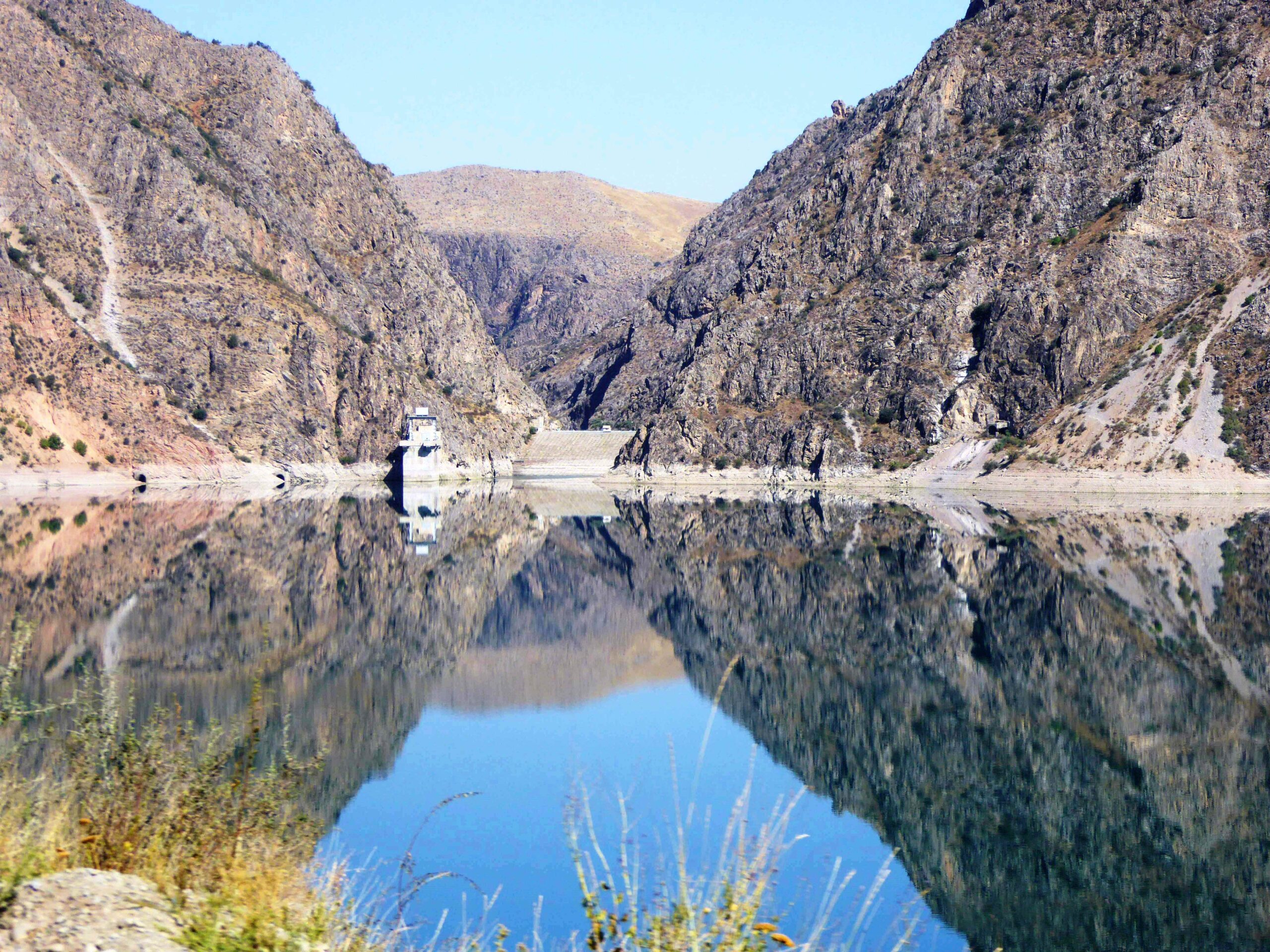
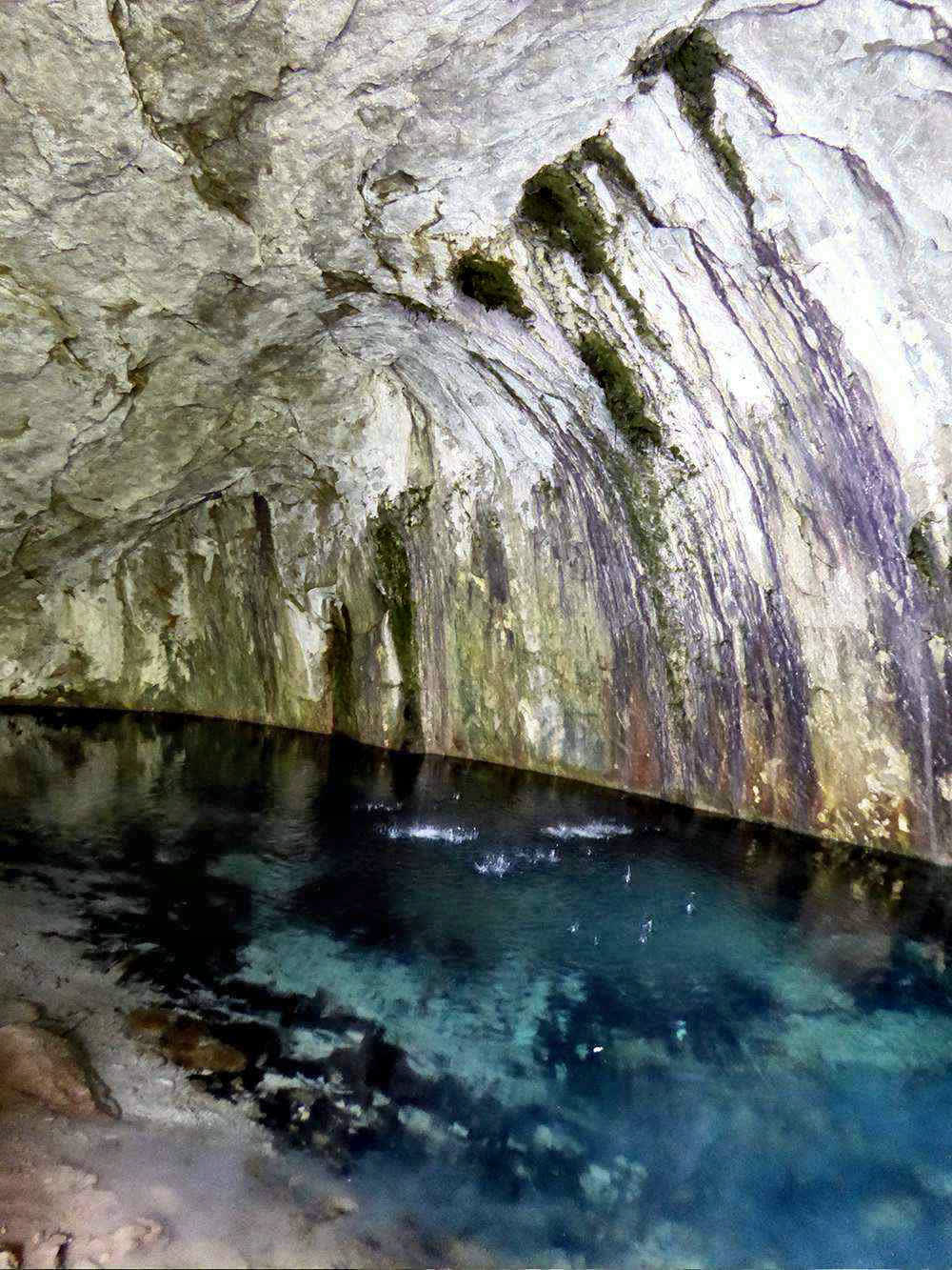
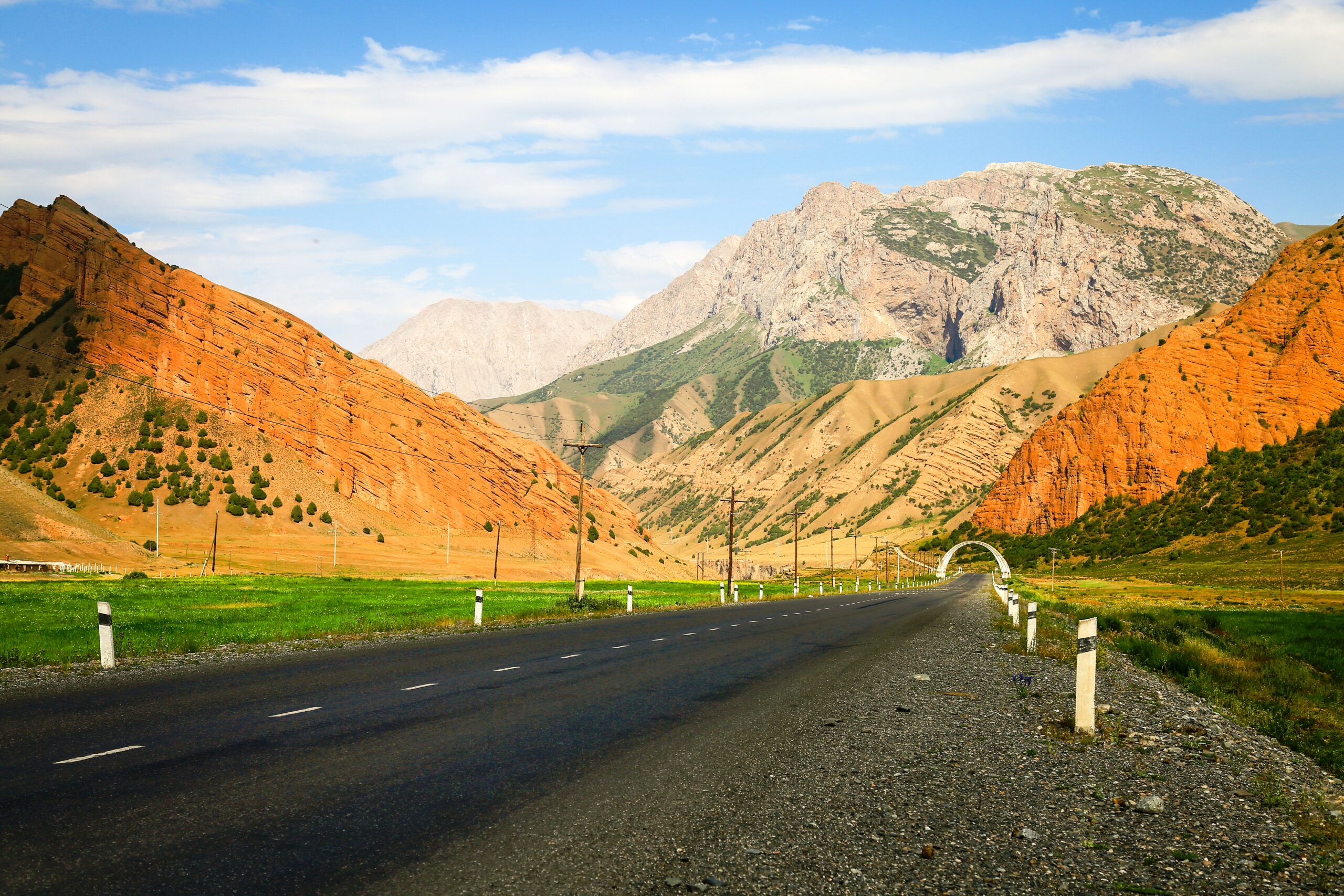
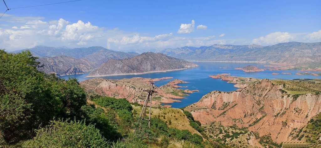
Drive from Osh to Kozho Kelen. Along the road you can see exotic nature (mountains, herbs, flowers and shepherds life). As well visible on the way The Papan reservoir, that provides all Osh city residents with water and it is used for irrigation the agriculture of Kyrgyzstan and Uzbekistan. The road is 100km about 3.5 hours to reach the Kojo-Kelen. The condition is dirty but not bad. The road goes along the Ak-Buura river and both sides of road surrounded with green juniper mountains. Upon arrival to Kozho Kelen (2230m asl) we will have lunch at guest house and have an acclimatization hike (2-3 hours). We will visit Blue Grot and waterfall. We will return back to guest house and have a rest and dinner.
We will begin the second day of the tour on the slopes of the beautiful Cretaceous mountains of Kichik-Alai. First, we cross the Sary-Bel pass (3150m). straight away we cross the Kosh-Moinok pass (3220m). we spend the night in a yurt.
Hiking is directs on upland.
First of all while hiking, every step is visible of crying marmots.
Birds in these natural zones are also numerous, and a large number of them are predators: the neck, bearded vulture, golden eagle, owl, and hawk and also exists in this area of rarely visible animals wolf, fox, badger, wild boar, mountain goats, jackals.
As we approach the height so we feel that we are closer to the mountains of Pamir - Alai upon arrival at the camp, set up your tents and get ready for the evening meal.
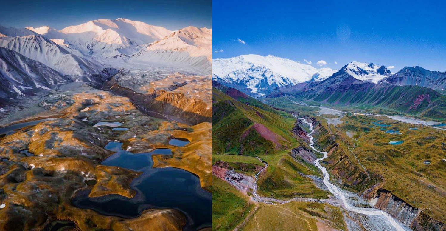
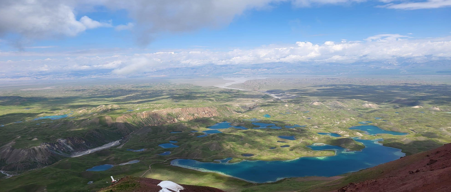
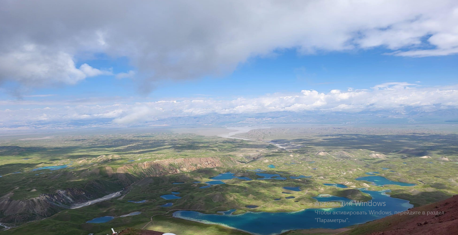
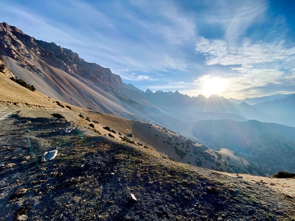
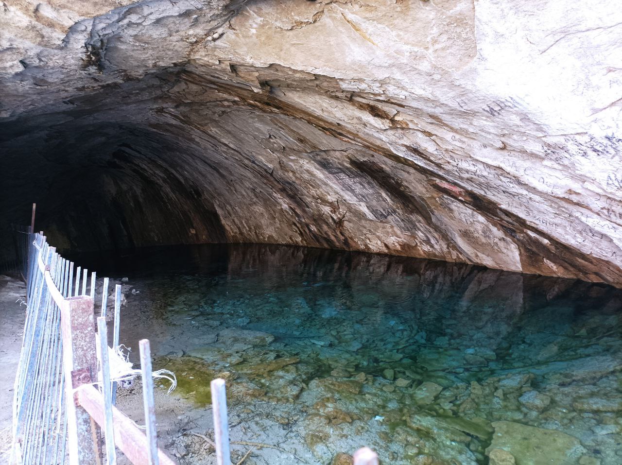
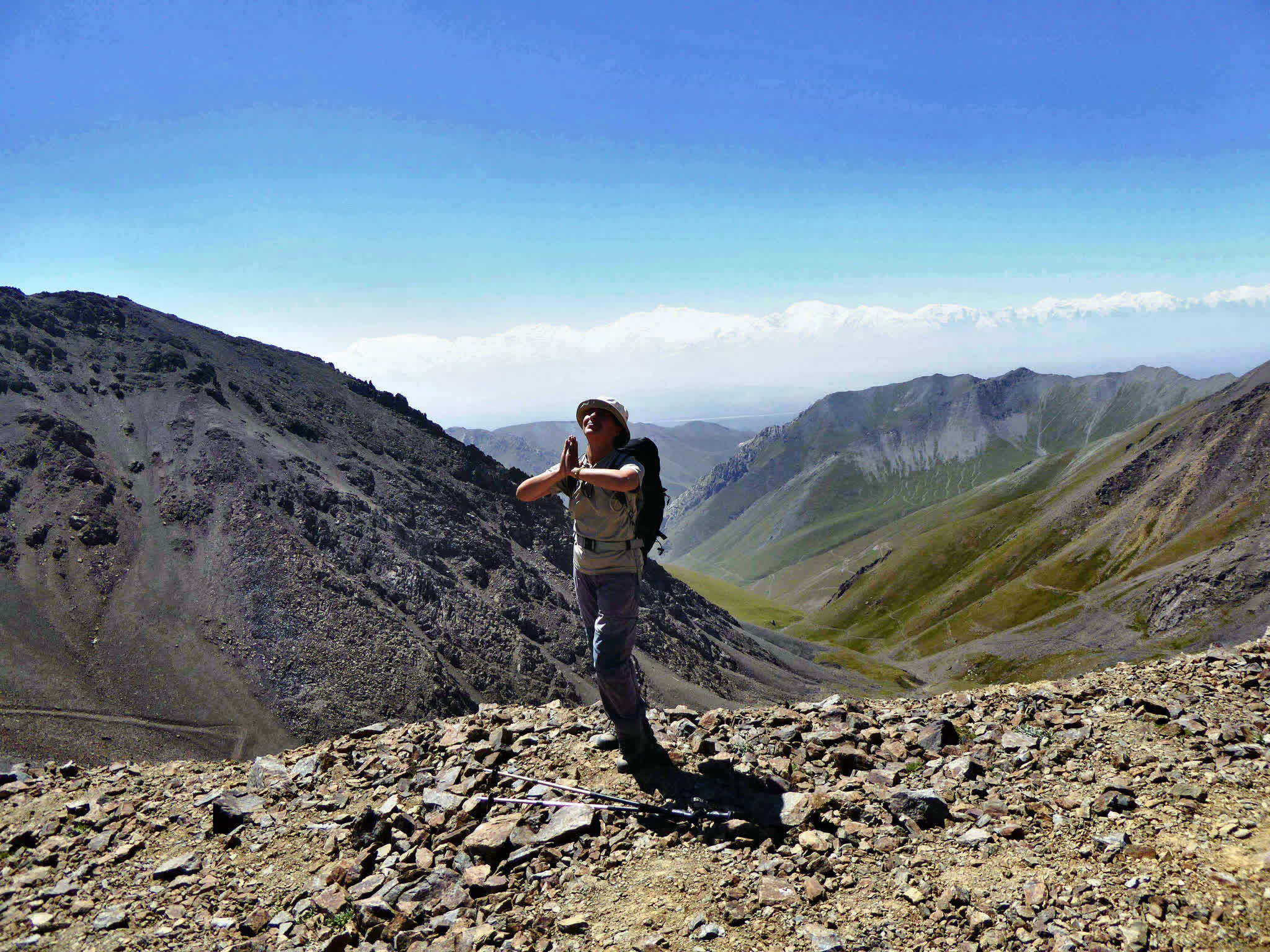
Steep pass In fact the distance is not long, but the pass takes time. An incredible sense of the landscape, you feel like in the sky, the height of the Pamir-Alay begins from the Sary-Mogol pass (4300 m) and down the pass lie amazing 4 rocky lakes (Besh-Kol) and the water that connects the lakes with each other, finally flows into the cave. Depending on weather conditions we set up a tent around the lake or a few meters down to protect from wind and cold.
Approximately 10 km walk along the narrowest gravel path following the water flow we will come to the pasture of Sary-Mogol, where temporary locals live in yurts on the summer time. but it lasts not so long, approximately in 4 hours we will come to the place where our camp is located (3330m).
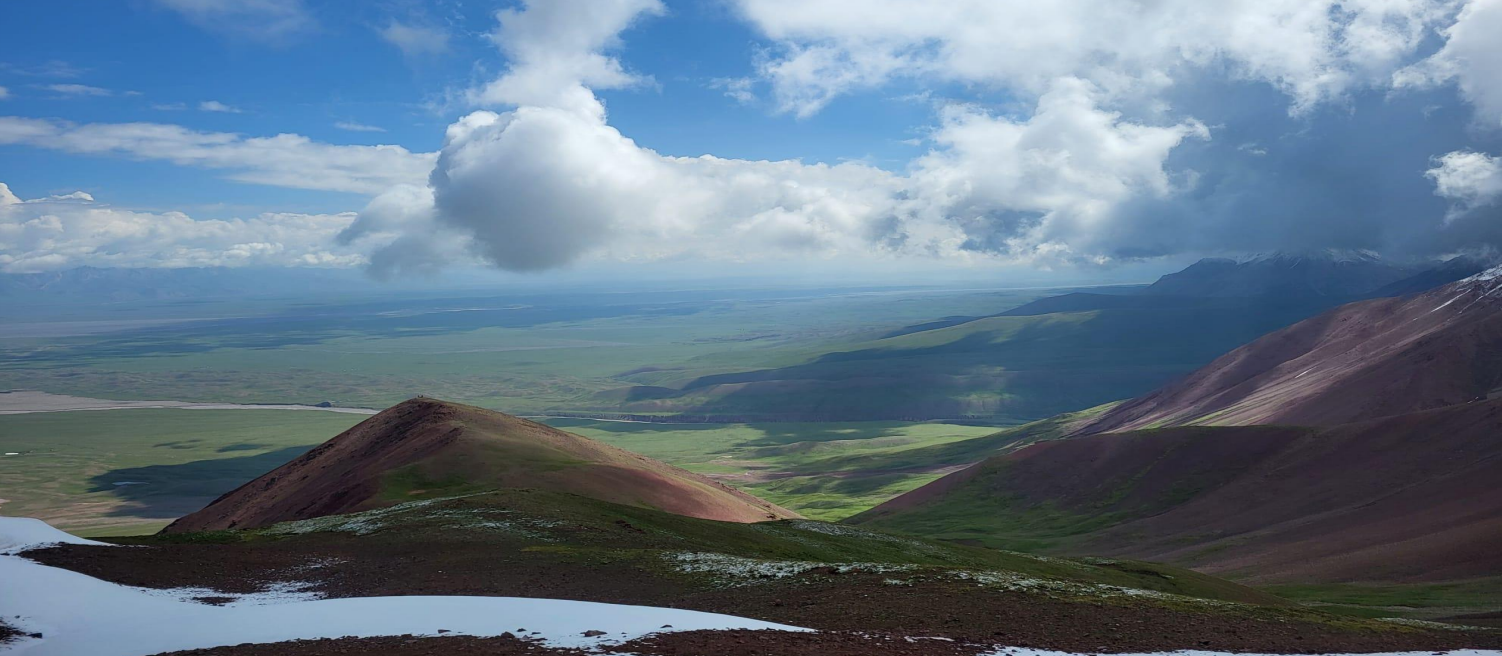
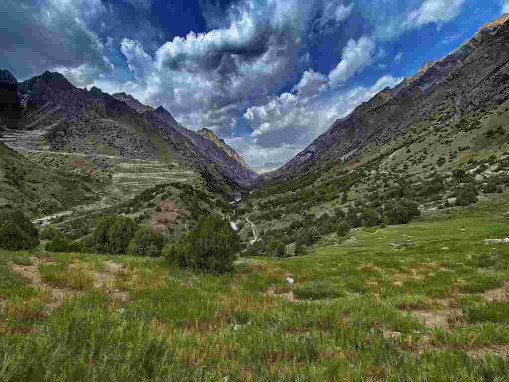
Today we are passing through the territory of Cho-Alay district, one of the most remote areas from Bishkek. Extensive area and wild mountain landscapes. The second part of the trekking continues in Chong-Alay mountains. We pass through several foothills and upon reaching the place above the village of Karakabak. camp in tent.
Time: 8-9 hours.
Distance: 15 km.
Max Elevation: 3700m.
Min Elevation: 3000m.
Overnight at 3000m.
Today we pass a quite long trekking day After passing the hill on right side, we go up to the Kashka-Suu valley. A path between the juniper and other bushes, in a narrow gorge. Arrival in the valley Kok Djar, the landscape takes on the width. Crossing Pass Kok Djar to 4120 m. Descent into lakes and Daimjaïloo Kosh Kol. Setting up camp. Dinner and overnight in tents at 3870m.
Time: 8 hours.
Distance: 20 km.
Max Elevation: 4150 m.
Min Elevation: 3300 m.
Overnight at 3870 m.
We will have short excursion on the lakes for more explore, for who wants.
On this day we will walk up to 4130m on the upper camp to have more explored the lakes. We leave our camp, just take lunch boxes and light things; we see two and above there couple of lakes then return down to the same camp.
Time: 2-3 hours.
Distance: 2+2 km.
Max Elevation: 4150 m.
Min Elevation: 3870m.
Overnight at 3870m.
Kosh kol lake is one of the most high-mountainous lakes which is located at 4120m above sea level. At first entrance two rocky and above there other twin rocky lakes are located.
After breakfast, walking along down Damjailoo pasture, around 4 hours walk until the yurts of shepherd, from here our driver drop off to Chong Koksuu pasture, camp in tent at 3230m (1.5hours driving 45km).
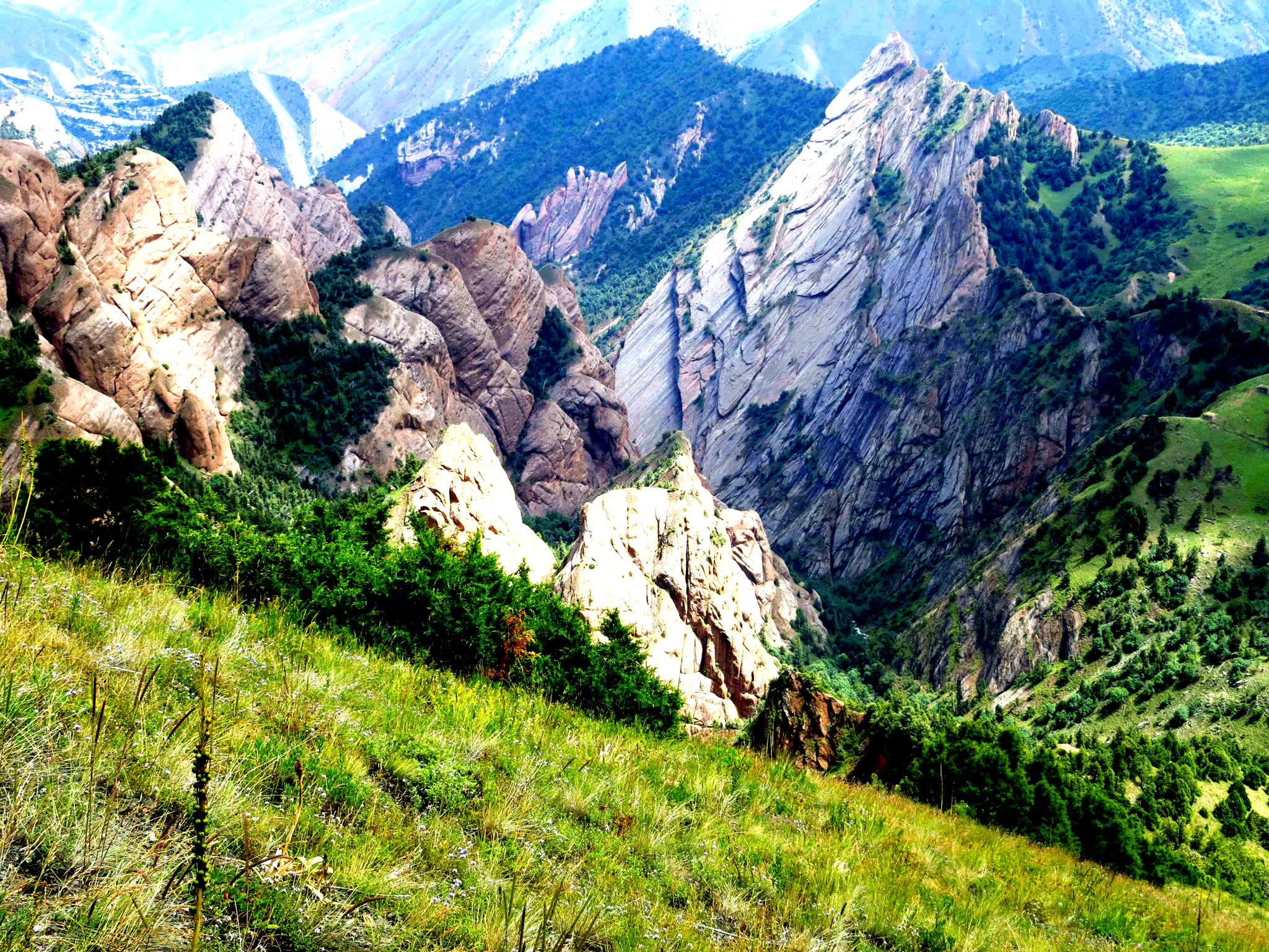
Our next routes pass along the southern area Chon Alai Ridges where the major peaks are Lenin Peak, Peak Dzerjinskiy and Estonia Peak, we walk only along the lower slopes of the foothills.
Time: 6-7 hours.
Distance: 20 km.
Max Elevation: 3700 m.
Min Elevation: 3270 m.
Overnight at 3300 m.
Night in tent.
We move to the next camp which is called Kaman, about 15 km route goes along the foothills, slightly lighter than previous routes. An absolutely wild zone, it is impossible to see any plant, except grass and mountain meadows. Each step while the hike marmots watchword and can be seen random flying of falcon.
Time: 6-7hours.
Distance: 17 km.
Max Elevation: 3800 m.
Min Elevation: 3270 m.
Overnight at 3400 m.
Today we spend the last night in a tent, all subsequent nights are placed in yurts. Wide place of nomadic people a lot of yurts beautiful rivers and landscapes are differed from other natures.
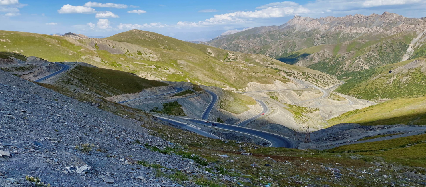
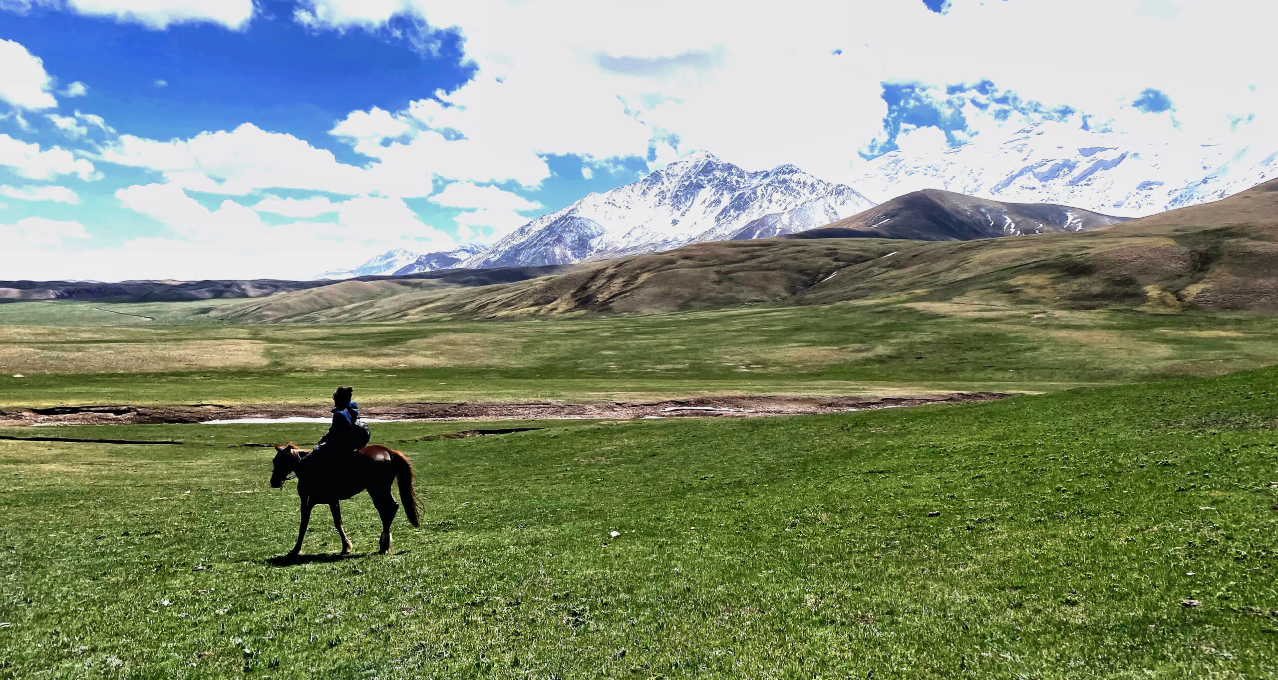
Our day trip headed to Tash Kungai pasture. We continue the next route along the slopes of the Pamir-Alai mountains.
Time: 6-7 hours.
Distance: 6-7 km.
Max Elevation: 3900 m.
Min Elevation: 3454 m.
Overnight at 3400 m.
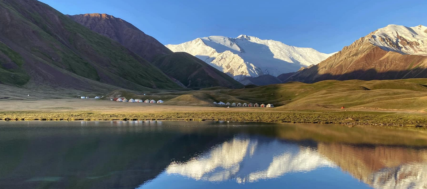
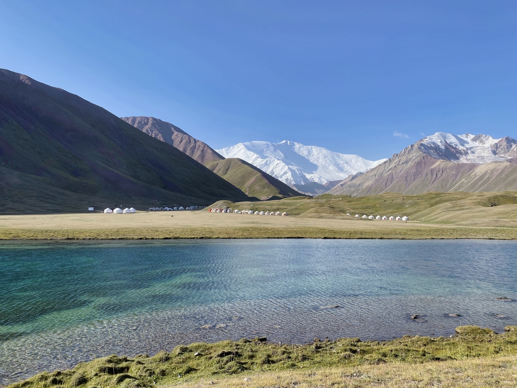
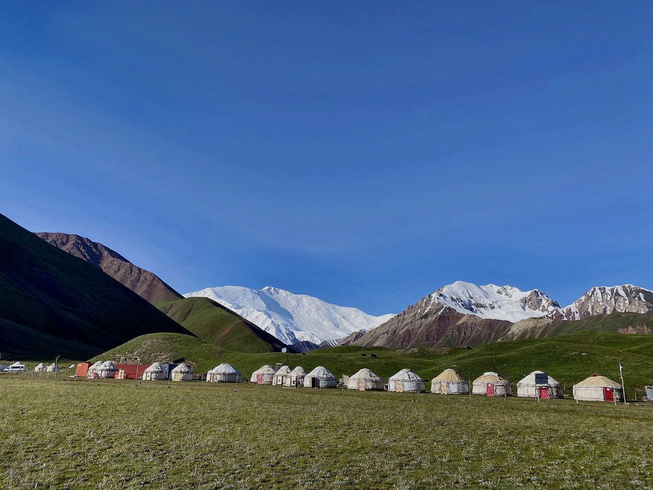
The most famous and popular location in front of Lenin Peak is base camp of climbers and it was an international mountaineering camp during the Soviet Union, so we move on through the Base camp for few kilometers up to the yurt camp in Tulpar-Kol.
Time: 7-8hours.
Distance: 25 km.
Max Elevation: 3700 m.
Min Elevation: 3335 m.
Overnight at 3500 m.
We takes a shower, wash clothes, enjoy the view of the lake.
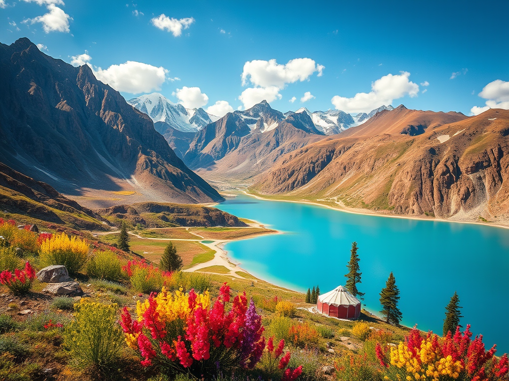
Tulpar-Kol Lake is situated in a beautiful location on the lakeside and dotted with edelweiss 3500 meters above sea level. This area lies south of SaryMogol at the foot of the huge Pamir-Alay mountains home to Lenin Peak. The flora and fauna of the region is fascinating and includes possibility of seeing a variety of birds, foxes and marmots. You’ll be delighted and very excited by your visit here.
Return to Osh & City Exploration.
After a leisurely breakfast, we begin our journey back to Osh, the second-largest city in Kyrgyzstan, nestled at the foot of the impressive Sulaiman-Too mountain. Upon arrival, we will enjoy a delicious lunch at a local café, offering a taste of the region’s rich culinary heritage.
Following lunch, we will set out on a guided walk to explore the city. The highlight of the tour will be Sulaiman-Too, a sacred mountain that rises above Osh. It is one of the most important pilgrimage sites in Central Asia, featuring ancient petroglyphs and a historical complex at the summit, offering stunning panoramic views of the city and the surrounding landscape.
After visiting Sulaiman-Too, we will stroll through Osh Bazaar, a lively market filled with local produce, spices, textiles, and handmade crafts. This vibrant bazaar offers a perfect opportunity to immerse yourself in the sights, sounds, and flavors of the region, with the chance to pick up unique souvenirs or simply enjoy the bustling atmosphere.
For those who wish, this can be a one-day tour, with the option to explore more of the city or relax in the afternoon.
Driving: 4hours.
hiking time: 4-5 hours.
Overnight: Osh (optional, depending on the schedule).


![IMG-20231106-WA0009[1]](https://alaytravelguide.com/wp-content/uploads/2026/05/IMG-20231106-WA00091.jpg)
Write Your Review