| Destination |
Chiyyrchyk | Sary-Oy | Ak-Tor Yurt Camp | Uch-Chat | Sary-Mogol Town | Tulpar-Kol | Bouke Yurt Stay | Dam-Jayloo | Kashka-Suu | Aigul Yurt Camp via Sary-Mogol Pass | Kosh-Moinok | Kojo-Kelen | Jiptik Yurt Camp | Osh |
|---|---|
| Depature | Yes Required |
| Departure Time | Contact us for more information |
| Return Time | Contact us for more information |
| Included |
|
|
Not Included: |
|
 |
|
Price:
| Number of tourists | 2 | 3 | 4 | ||||||
|---|---|---|---|---|---|---|---|---|---|
| Price in USD Dollar for the group | $2700 | $3400 | $4000 |
Notes for Travellers:
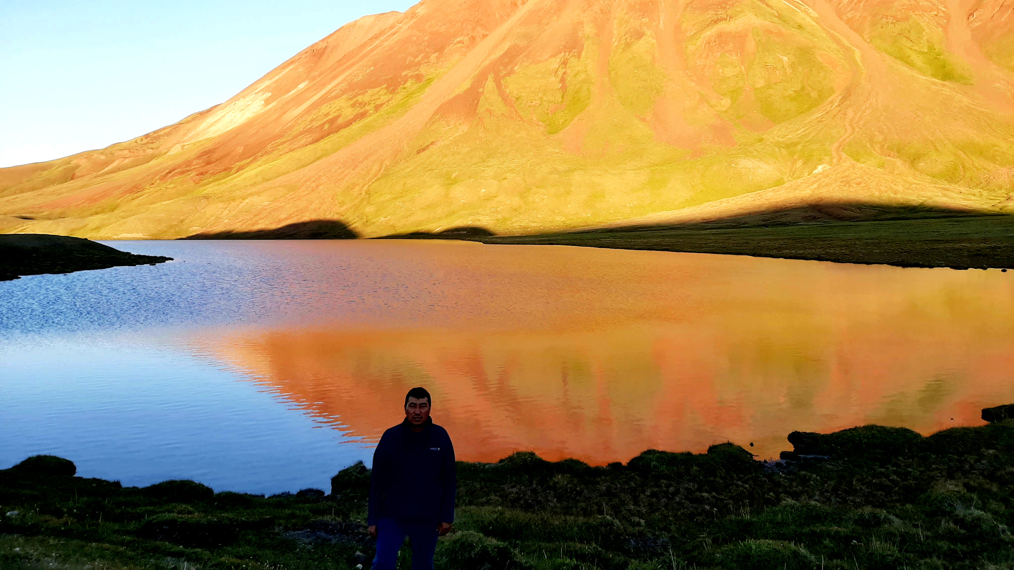
Depart from Osh by car and drive to Chiyyrchyk jailoo (1 hour). From there the trekking begins. You will hike for 5–6 hours, crossing the Ak-Tor Pass (3557 m) and then continue toward Sary-Oy jailoo, where you will stay overnight in a yurt. Dinner will be served at the camp.
Driving distance: 65km /40miles (drive 1h20min).
Ascent/Descent of driving: 1500/107 meters.
Highest and lowest points of driving: 2400/1000 meters.
Hiking distance: 14km; 5hours (excluding break and lunch times).
Elevation gain/Elevation loss of hiking: 760/890m.
Highest and lowest points of hiking: 3130m↗ 2260↘metrs.
Average Speed of walking: 2.8 km/h.
Accommodation altitude: 2271.7 m or 7453.1 feet.
Accommodation type: share yurt stay on the floor blankets.
Tour category: moderate.
After breakfast, take your packed lunch and continue trekking. You will hike for 3–4 hours until you reach the yurt camp, where you will stay overnight. Dinner will also be provided at the camp.
Hiking distance: 12km; 4h.30min (excluding break and lunch times).
Elevation gain/Elevation loss of hiking: ↗800/↘90m.
Highest and lowest points of hiking: 2980m↗ 2190↘metrs.
Average Speed of walking: 2.5 km/h.
Accommodation altitude: 2983.9 m or 9789.6 feet.
Accommodation type: share yurt stay on the floor blankets.
Tour category: moderate.
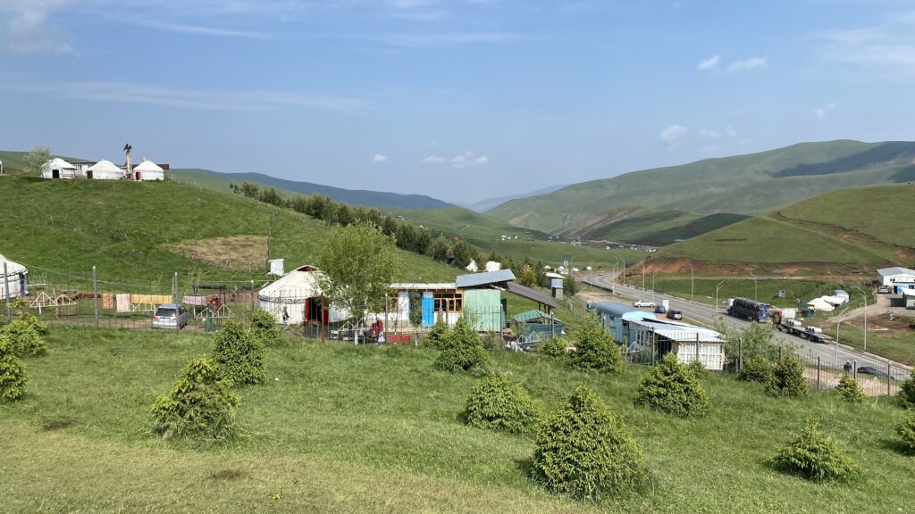
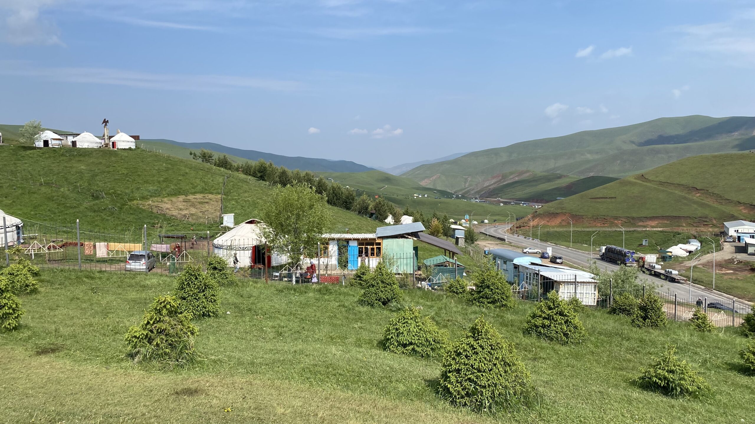
Continue trekking as before and cross the Ak-Tor Pass again. After descending, you will arrive at the road and walk approximately 3 km to the right toward Uch-Chat summer camp, where you will stay overnight in a cottage or yurt.
Hiking distance: 12km; 5h (excluding break and lunch times).
Elevation gain/Elevation loss of hiking: ↗780/↘1260m.
Highest and lowest points of hiking: 3510m↗ 2370↘metrs.
Average Speed of walking: 2.4 km/h.
Accommodation altitude: 2509.2 m or 8232.4 feet.
Accommodation type: share yurt stay.
Tour category: moderate.
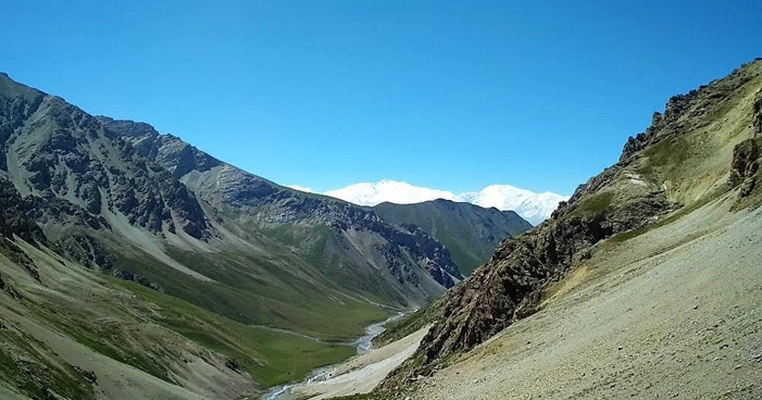
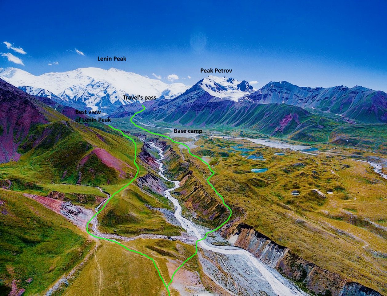
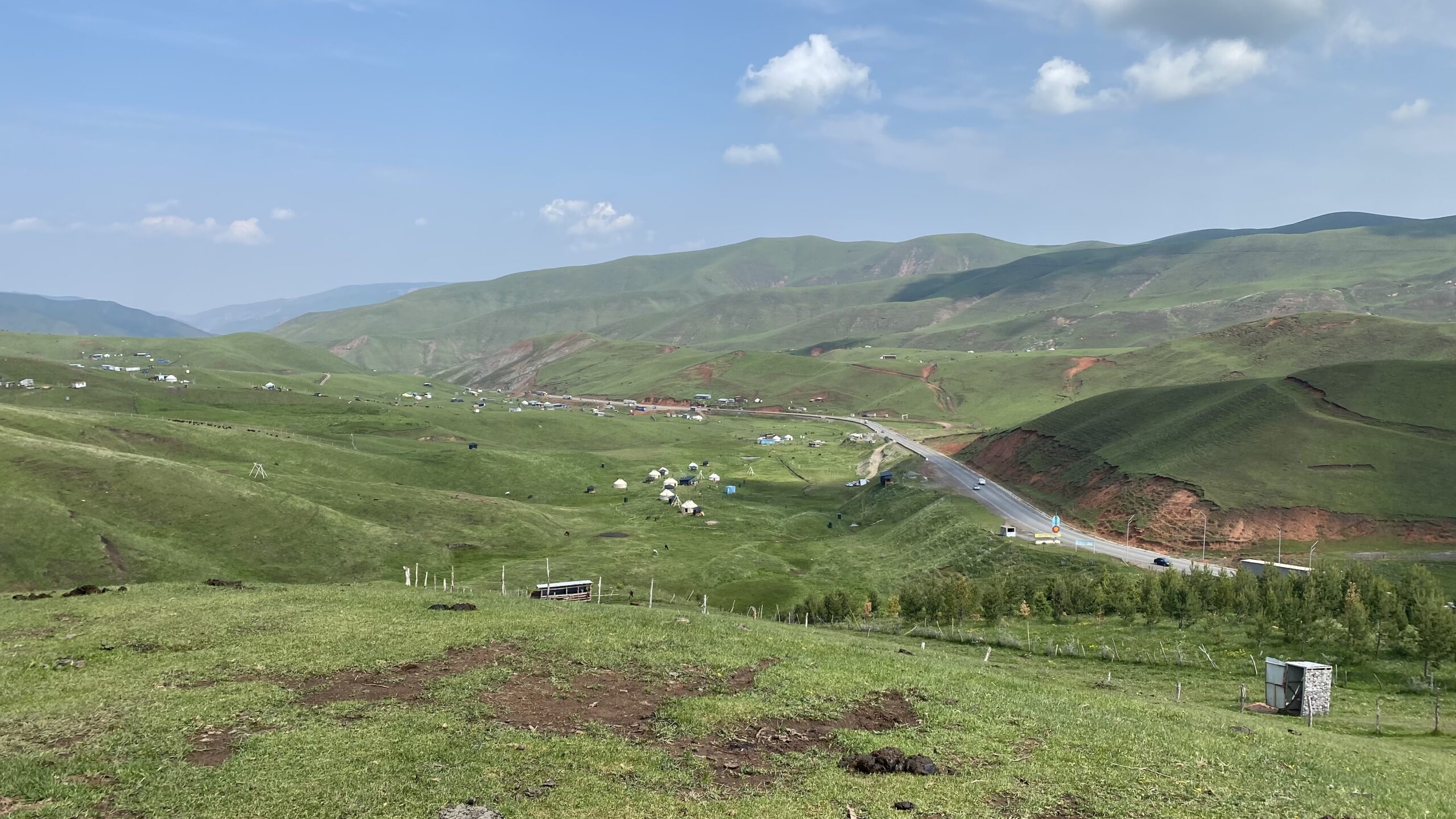
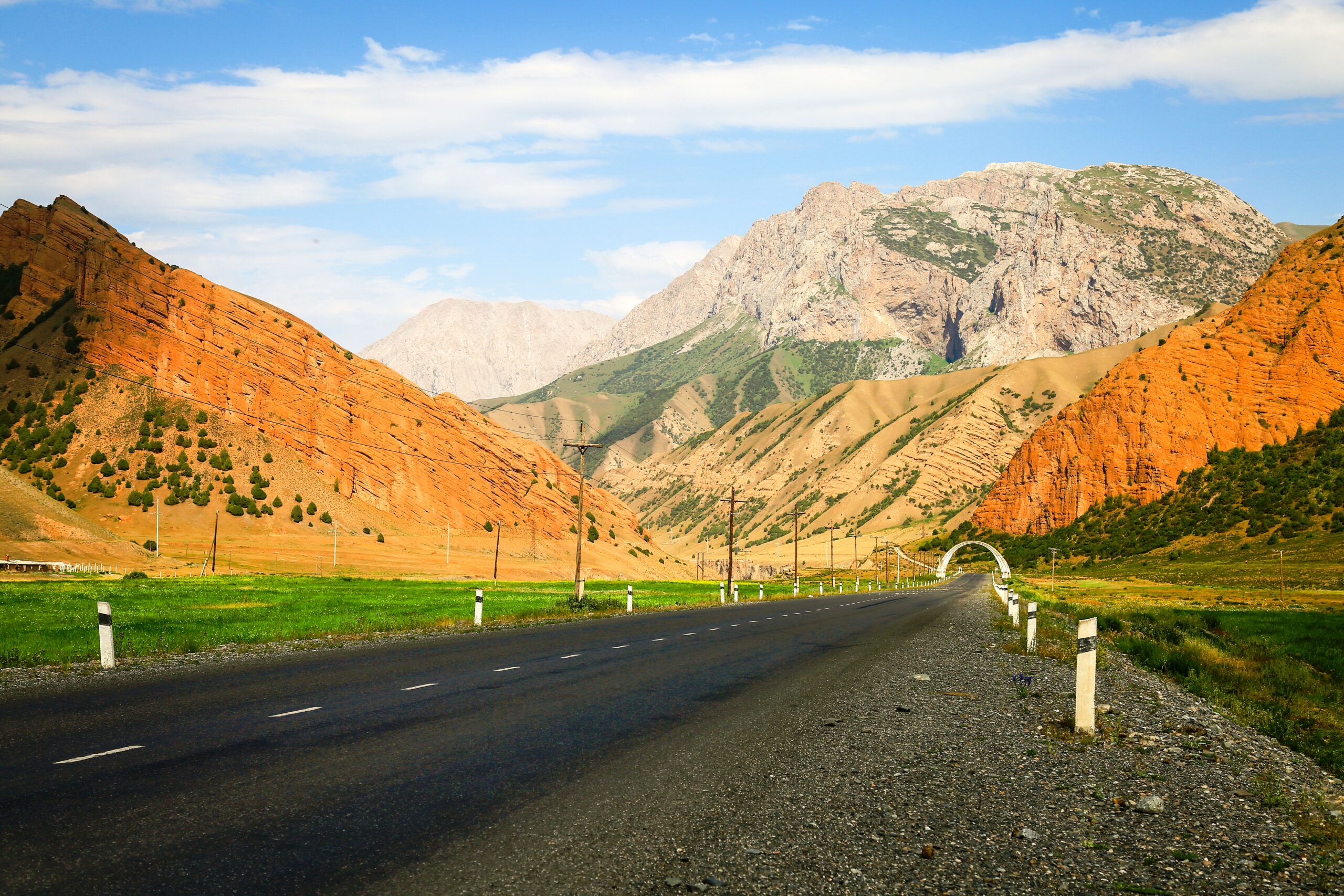
Trek over the Kosh-Moynok Pass toward the upper area of Murdash village. Upon reaching the village outskirts, you will be transferred to Sary-Mogol village for an overnight stay. On the way, there will be short stops at Taldyk Pass and several scenic viewpoints. After passing through Sary-Tash village, you will enjoy the stunning, eternally snow-covered giant peaks of the Pamir-Alay mountain range.
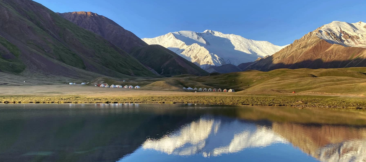
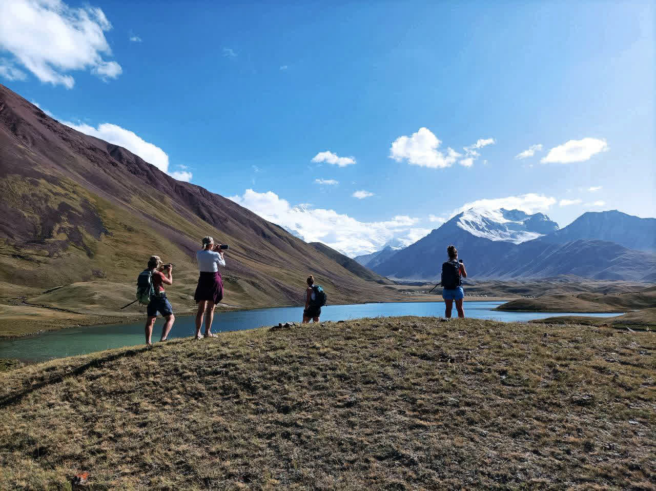
Continue driving to Sary-Mogol, which offers the best panoramic views of Lenin Peak.
Hiking distance: 17km; 6h30min (excluding break and lunch times).
Elevation gain/Elevation loss of hiking: ↗800/↘1370m.
Highest and lowest points of hiking: 3260m↗ 1940↘metrs.
Average Speed of walking: 2.8 km/h.
Driving distance: 130km /2h 40min (average speed driving is 80-100km/h).
Ascent/Descent of driving: 3610/1710 meters.
Accommodation altitude: 2976.0 m or 9763.8 feet.
Accommodation type: Guesthouse (twin hostel room with extra payment standard room ).
Tour category: moderate.
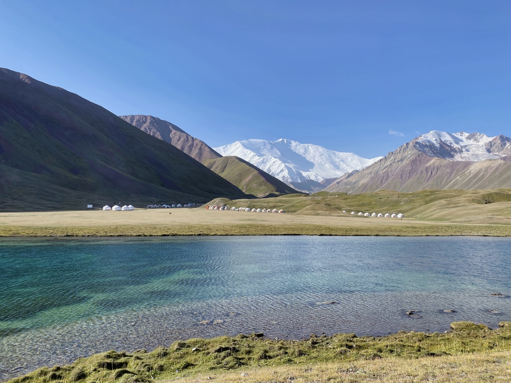
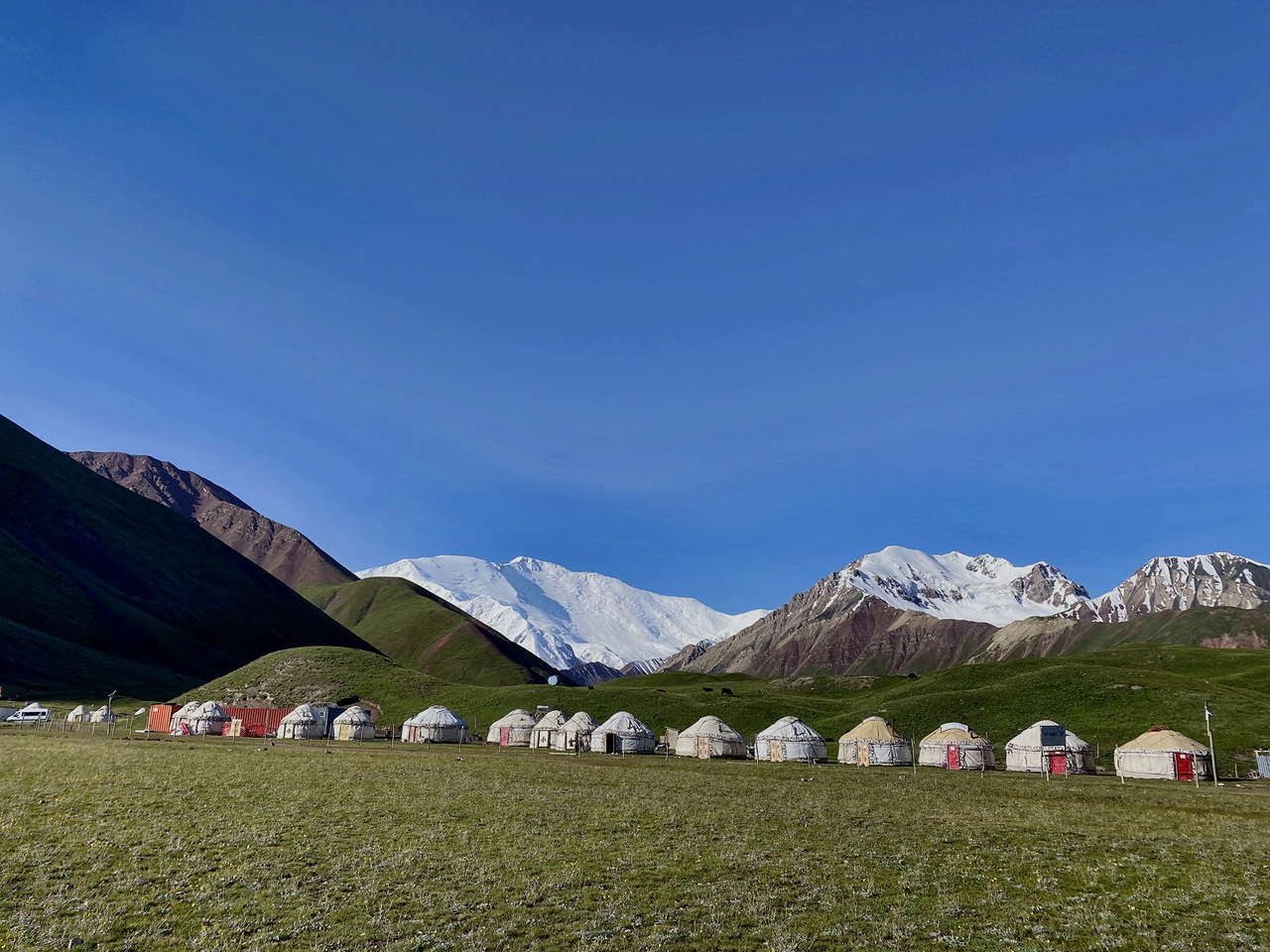
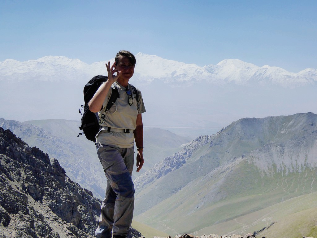
Drive by car for 1 hour to Tulpar-Kol Lake. From there, hike up toward the trekking viewpoint, where you will have a clear and direct view of Lenin Peak (weather permitting). Reach the 4150 m viewpoint, then descend back to Tulpar-Kol and stay overnight in a yurt.
Total distance: 37km.
Driving distance: 23km 40min driving.
Hiking time: 14km, 7 hours (including lunch and break time).
Ascent/Descent: 1020/140 meters.
Highest and lowest points: 4100/3500 meters.
Accommodation altitude: 3504.4 m or 11497.4 feet.
Accommodation: yurt camp (twin and 4 beds in yurts are available) outside share solar water heater shower, water running toilets.
Connection: there is solar electricity for phone charge and signal (megacom and O) and paid Wi-Fi starlink.
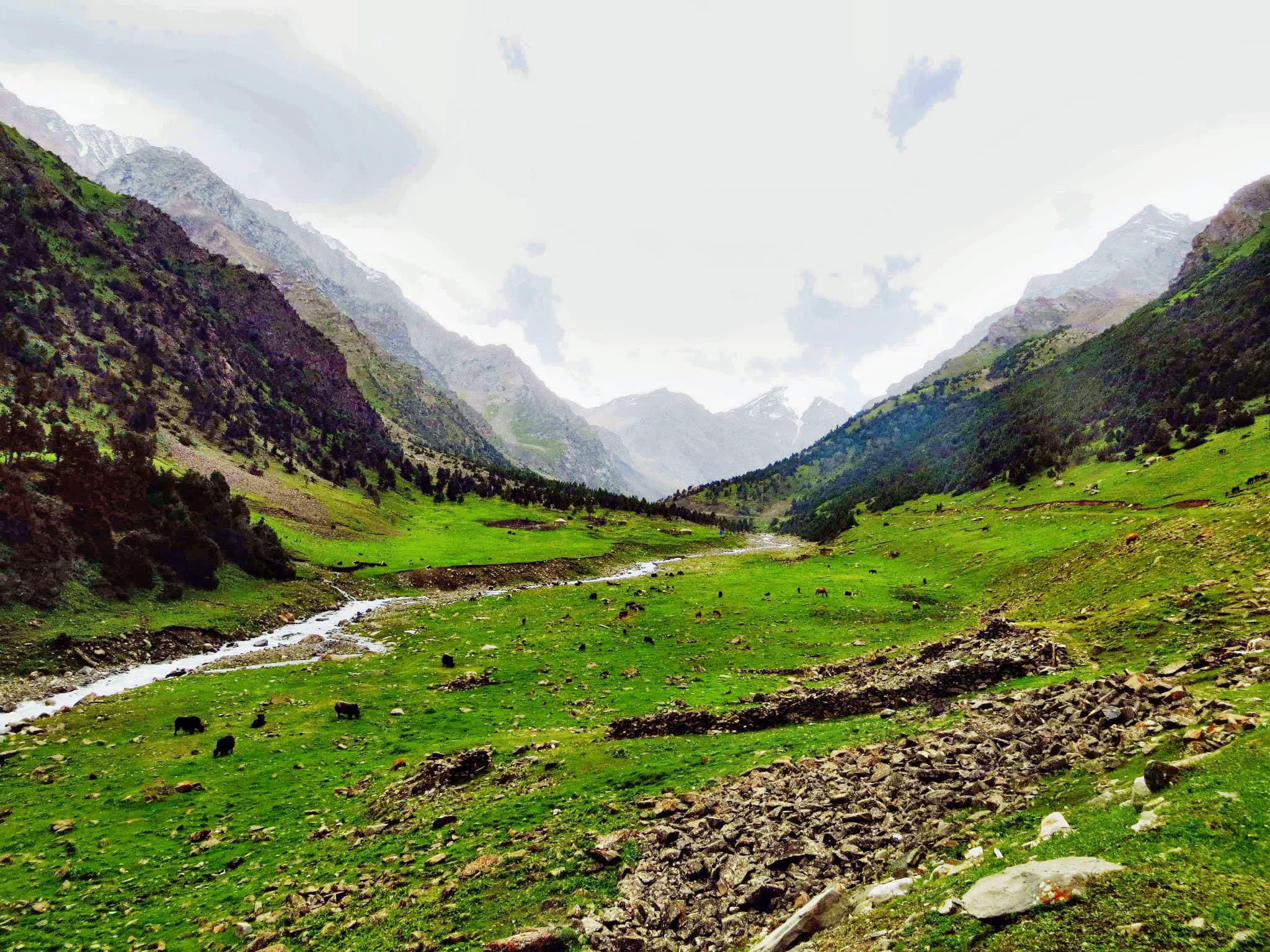
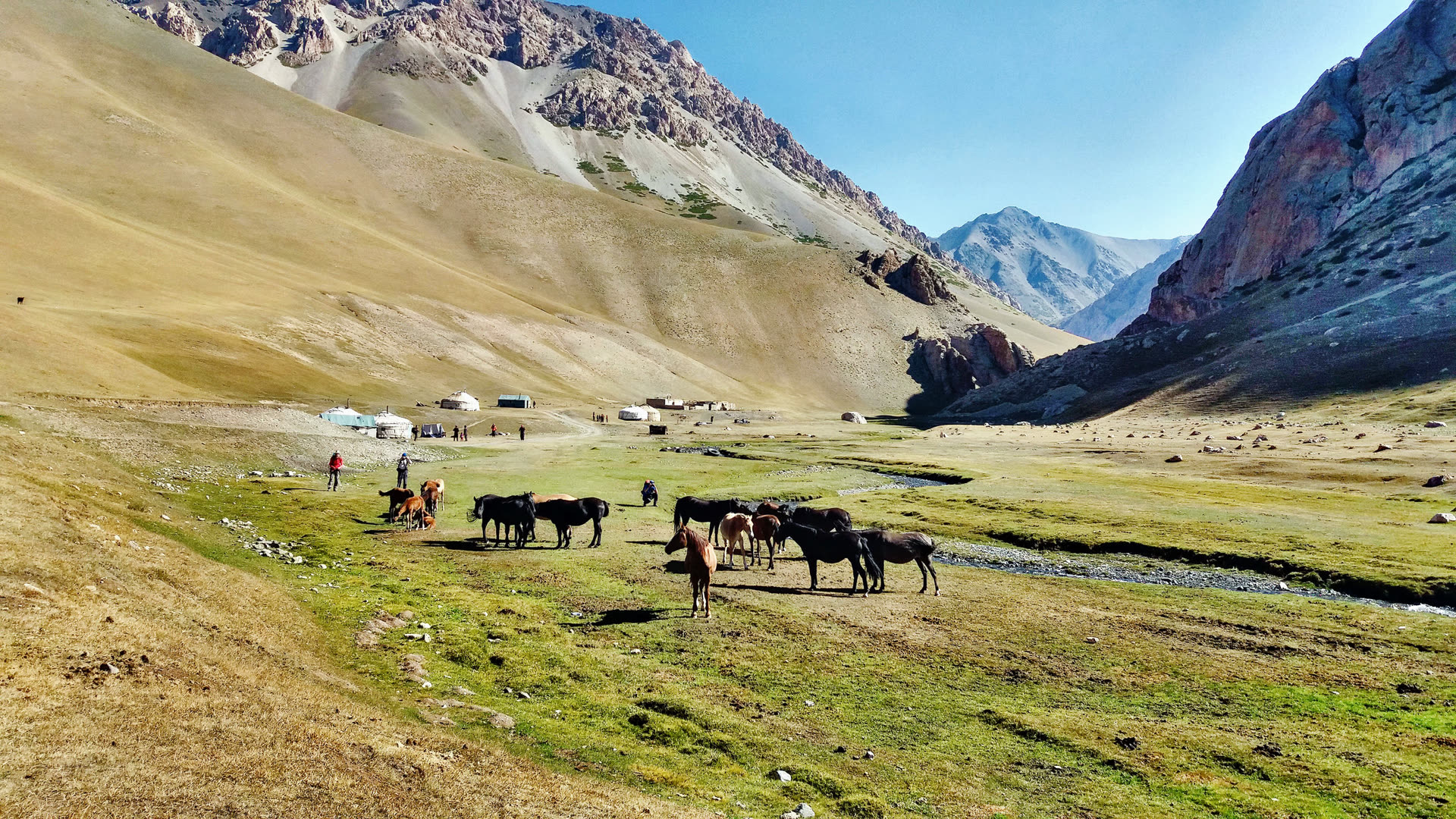
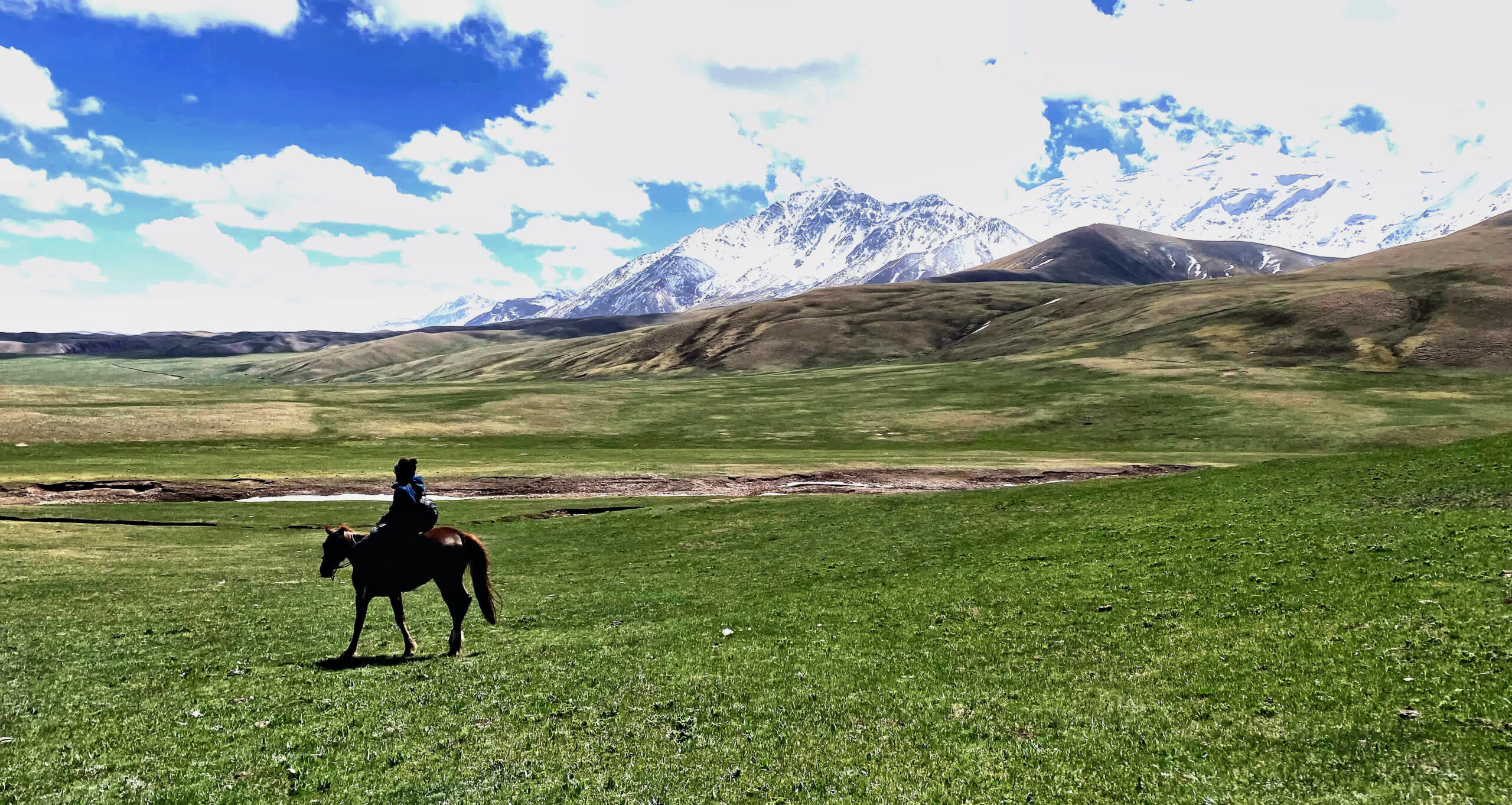
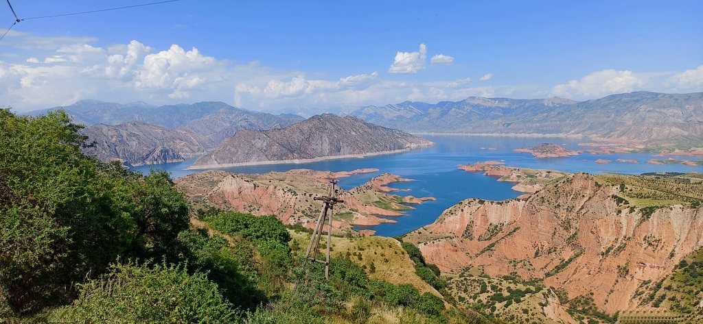
From Tulpar-Kol you will see the entire Alay Valley, a stunning panoramic landscape with local shepherd houses, grazing animals (sheep, goats, yaks, horses), and wide summer pastures. You will arrive at Bouke yurt camp and stay overnight there.
Hiking distance and time: 10km, 3 hours (including lunch and break time).
Elevation gain/elevation loss: 308/525 meters.
Highest and lowest points: 3505/3290 meters.
Accommodation altitude: 3200 m.
Accommodation: share yurt.
Connection: there is no electricity for phone charge but signal (megacom and O) is available.
From Bouke, drive to Dam-Jayloo. When the drivable road ends, continue on foot and walk up to the top of the hill, where you will enjoy beautiful views of the surrounding valleys and the single over there twin lakes. After exploring the area, return to the campsite and stay overnight in tents.
Driving distance: 60km/3h.
Walking distance: 12km/5h (excluding break time).
Elevation gain/Elevation loss of hiking: ↗735m ↘473m.
Highest and lowest points of hiking: 4200m↗3600↘metrs.
Average Speed of walking: 2.7 km/h.
Accommodation altitude: 3870.3 m or 12697.8 feet.
Accommodation: tent.
Connection: there is no electricity and signal.
From Dam-Jayloo, follow the trail that leads to the left side at the beginning, slightly uphill. Continue along this path as it gradually descends through the Kashka-Suu Gorge until you reach the bridge at the entrance of Kashka-Suu village. From there, transfer by car to Sary-Mogol and stay overnight in a guesthouse.
Hiking distance: 14km; 4h30min (excluding break and lunch times).
Elevation gain/Elevation loss of hiking: ↗418/↘1253m.
Highest and lowest points of hiking: 4170m↗ 3037↘metrs.
Average Speed of walking: 2.8 km/hDriving distance: 30km /2h (average speed driving is 80-100km/h).
Accommodation altitude: 2976.0 m or 9763.8 feet.
Accommodation type: Guesthouse (twin hostel room with extra payment standard room).
Tour category: moderate.
In the morning, drive for 1 hour (15 km) to the starting point of the trek. The hike continues toward Sary-Mogol Pass, where you will have lunch. From the top of the pass, you will see four mountain lakes, one pouring into another, and the last lake disappearing into a cave-like opening inside the mountain. Cross the pass and continue trekking for 2 more hours until you reach Aigul yurt camp, where you will stay overnight.
Driving distance: 16km (1h).
Approximate trekking distance: 14km, 8.70 miles.
Time of hiking: excluding driving 14km 6hours.
Ascent/Descent: 910/790 meters.
Highest and lowest points: 4270/3380 meters.
Accommodation altitude: 3382.00 Meters | 11095.80 Feet.
Connection: No electricity, internet and signal (power bank is recommended).
Accommodation type: yurt stay (shared living).
Continue your trek following the river downstream until you reach the small mountain village of Kichi Sary-Mogol.From there, continue right toward another village called Kyzyl-Shoro. Then ascend a small pass and descend to the Kosh-Moinok yurt camp, where you will overnight.
Approximate trekking distance: 18km (11.18miles).
Hiking time: 7h (excluding lunch and break time).
Ascent/Descent: 830/1460 meters.
Highest and lowest points: 3467 /2467meters.
Accommodation altitude 2822.00 Meters | 9258.53 Feet.
Connection: No electricity, internet and signal (power bank is recommended).
Accommodation type: yurt stay (shared living).
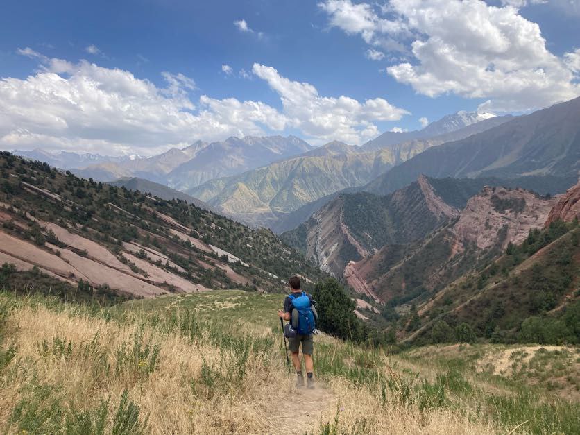
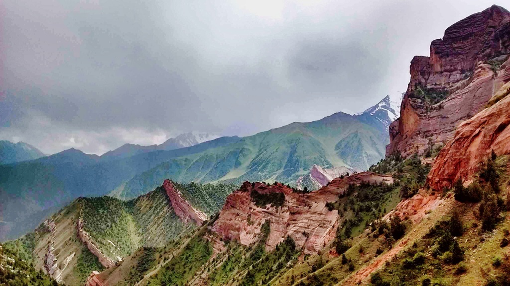
Continue trekking toward the spectacular Sary-Bel Pass. After crossing the pass, descend through beautiful multicolored mountains, unique rock formations, and areas with juniper and spruce trees. Arrive in Kojo-Kelen, a picturesque red-rock village, and stay overnight in a guesthouse.
Approximate trekking distance: 10km (6.50miles).
Hiking time: 6h (excluding lunch and break time).
Ascent/Descent: 340/960 meters.
Highest and lowest points: 3127 /2230meters.
Accommodation altitude 2230.00 Meters | 7316.27 Feet.
Accommodation type: local homestay, share rooms in the traditional floor blankets with hot shower and flush toilet.
Connection: there is electricity and Wi-Fi.
From the guesthouse, follow the Jiptik River upstream. After 5–6 hours of trekking, you will reach the yurt camp located near Jiptik Pass, where you will stay overnight.
Approximate trekking distance: 14km (8.70miles).
Hiking time: 5hours (excluding lunch and break time).
Ascent/Descent: 1000/10 meters.
Highest and lowest points: 3225 /2220 meters.
Accommodation altitude 3040.00 Meters | 9975 Feet.
Connection: No electricity, internet and signal (power bank is recommended).
Accommodation type: Yurt (beds on traditional mattress without higher sofa 3-4 people in one yurt).
Shared toilet outside.
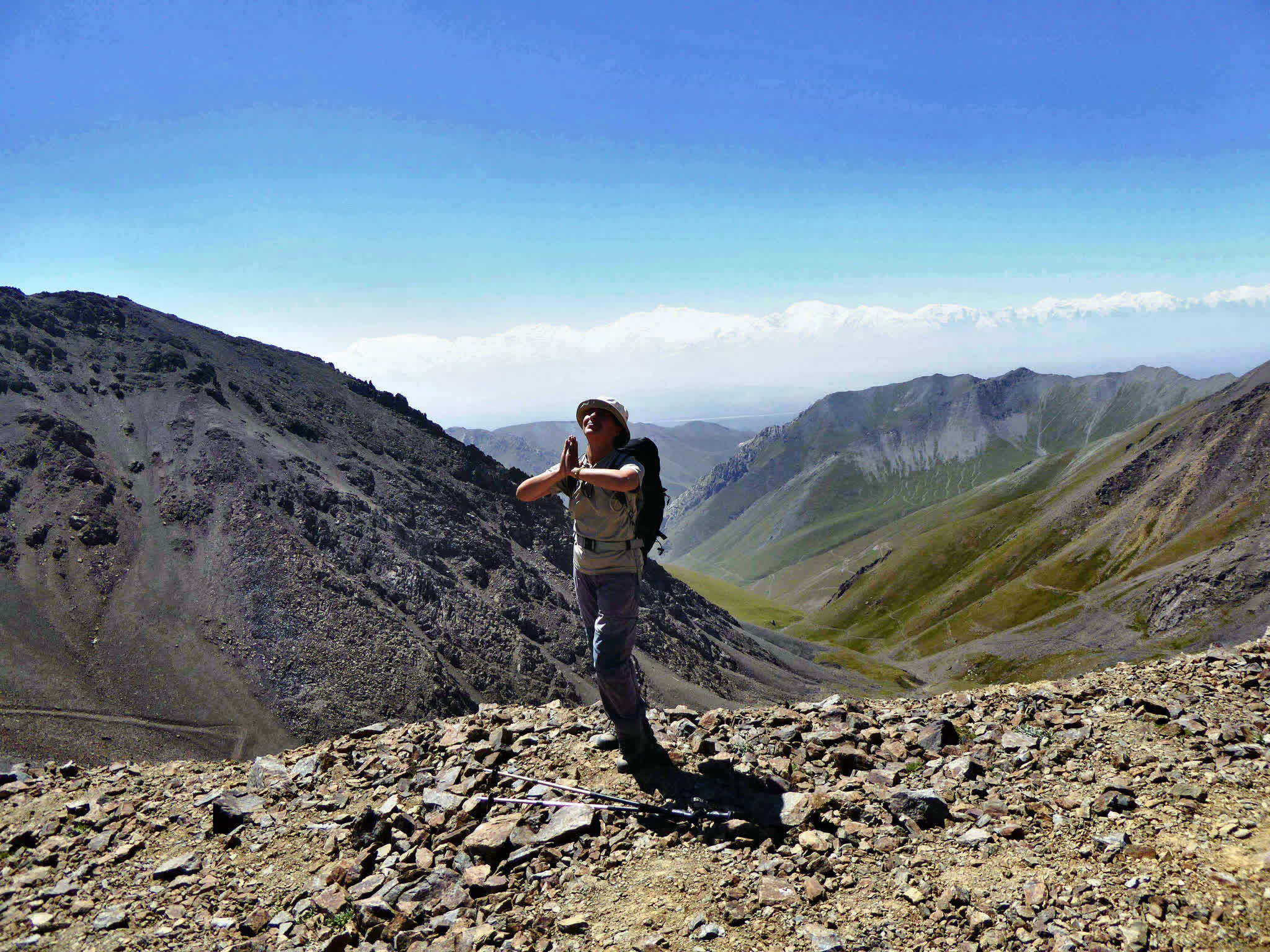
From the yurt camp, hike directly uphill toward Jiptik Pass. From the top of the pass, you will enjoy a fantastic panoramic view of the Alay Valley, including a frontal view of Lenin Peak and other snow-covered peaks. After lunch at the pass, descend to Darbaza-Tash jailoo, then continue down to the end of the trail. Transfer to Sary-Mogol, where you will stay overnight.
Approximate trekking distance: 25km (15.53 miles).
Hiking distance & time: 15km; 5h walking and 10km 30 min driving (not counting time for lunch and break).
Ascent/Descent: 830/1230 meters.
Highest and lowest points: 4150 /2970 meters.
Accommodation altitude 2976.00 Meters | 9763.78 Feet.
Accommodation type: Guesthouse (Alay travel house).
Connection: There is electricity and Wi-Fi.
After breakfast, depart from Sary-Mogol and return to Osh.


![IMG-20231106-WA0009[1]](https://alaytravelguide.com/wp-content/uploads/2026/05/IMG-20231106-WA00091.jpg)
Write Your Review