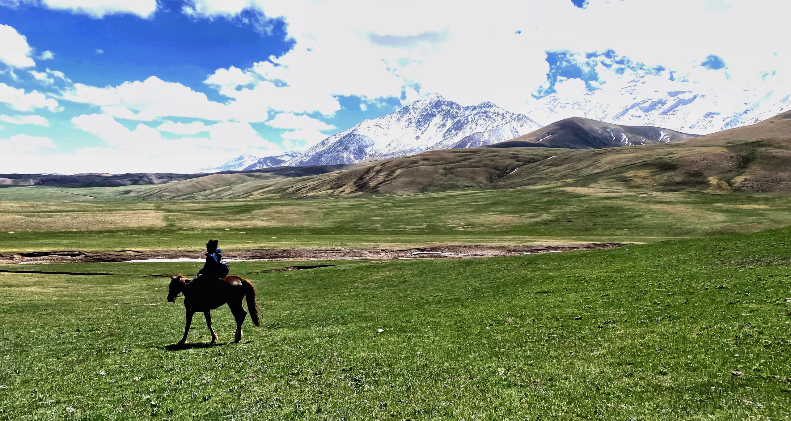
Our activity tours, developed over many years of practical research and refinement, have become highly popular among European and international nature enthusiasts. These routes are loved by adventurers for their breathtaking landscapes and incredible sensations, making them a must-try in Kyrgyzstan. In the Alai Valley, the minimum altitude begins at 2,500 meters above sea level and quickly rises higher. Due to the altitude, we recommend this hike for people in moderate physical condition with no altitude-related health problems. The route includes two challenging Peaks, Peak panorama of Tulpar-Kol (4,350 m) and Peak Petrov (4,800 m), with daily treks of 5-8 hours (active walking).
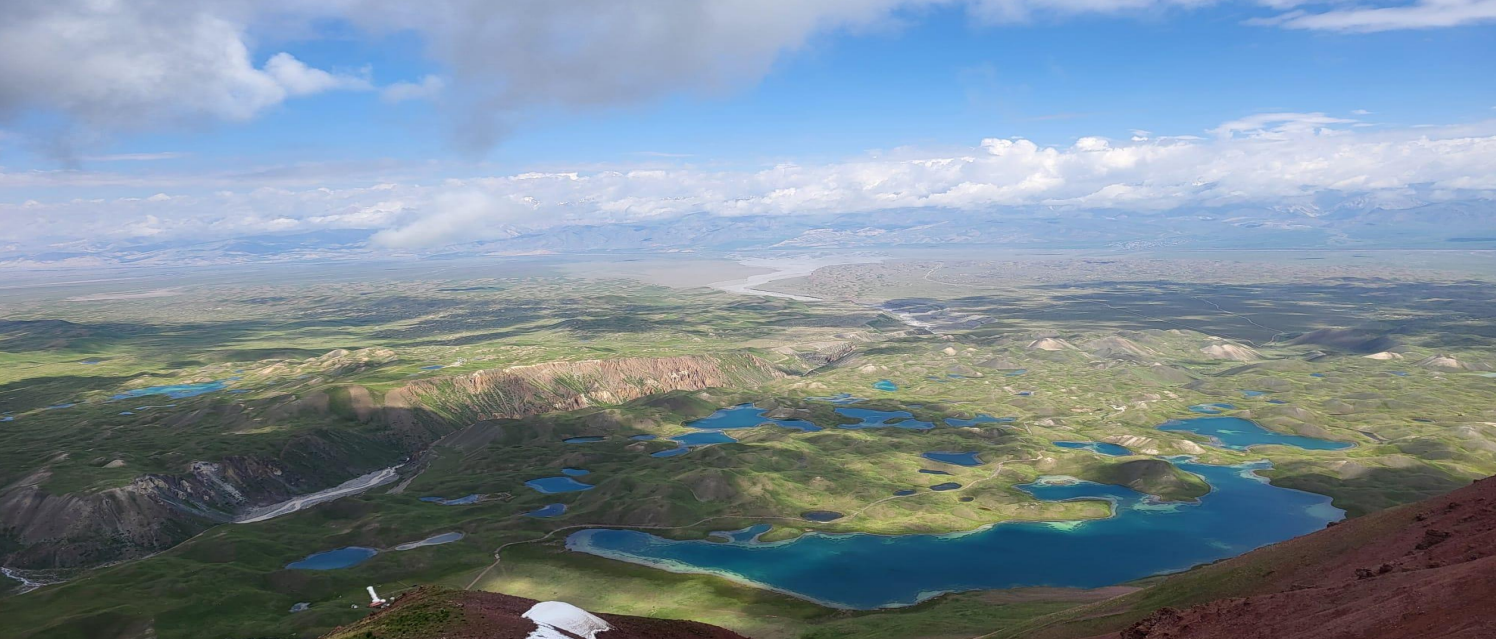
Panoramic View from Peak Panorama – Witness an incredible vista of 40 alpine lakes.
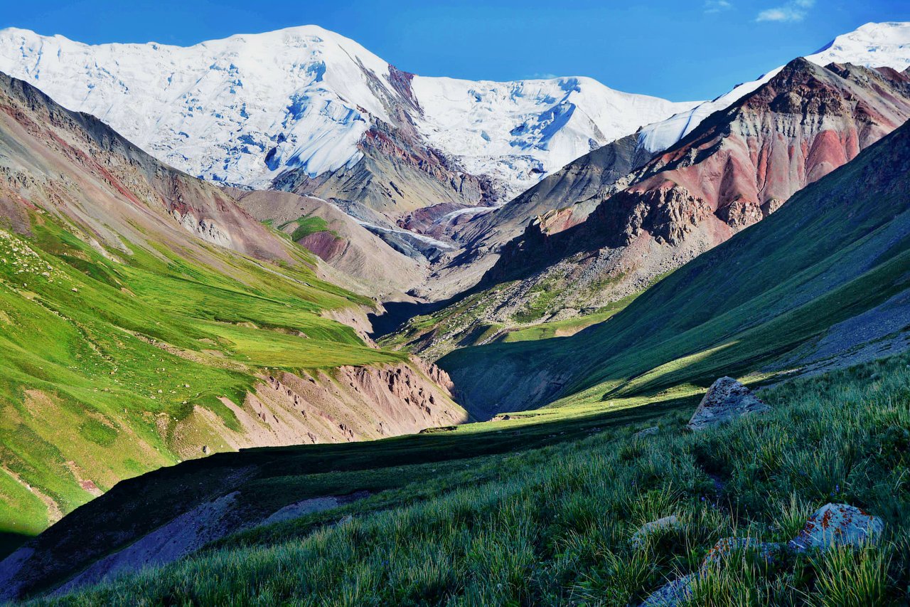
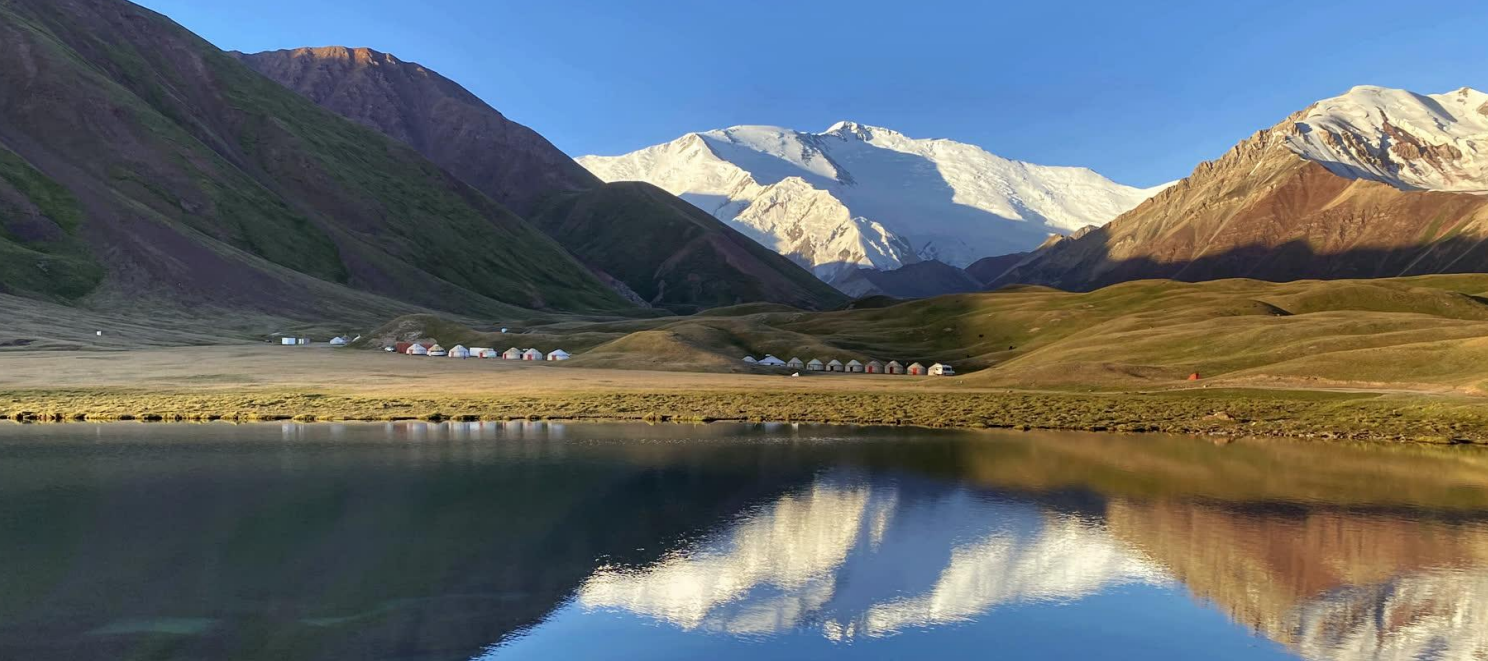
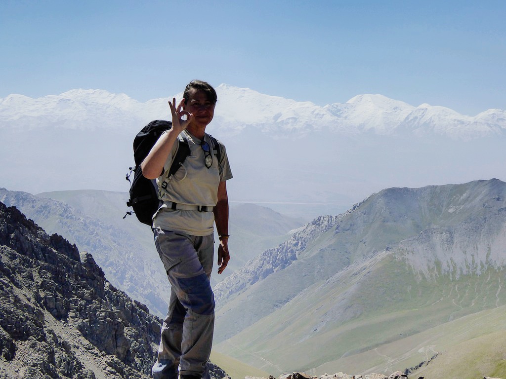
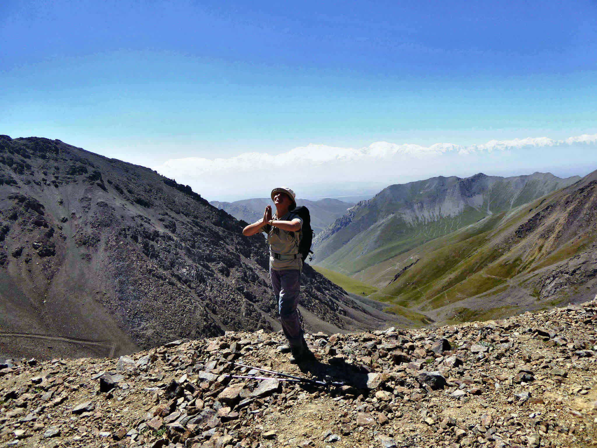
Scenic Peak Petrov – Enjoy breathtaking views of Lenin Peak and the entire Alai Valley.
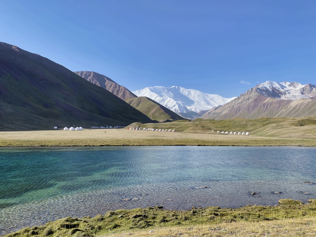
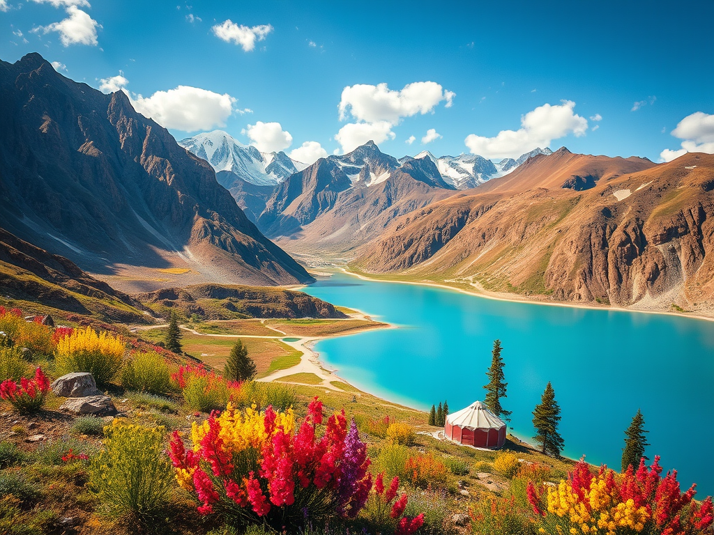
Alpine Lakes – Visit Kosh-Kol and the stunning Pamir-Alai lakes.
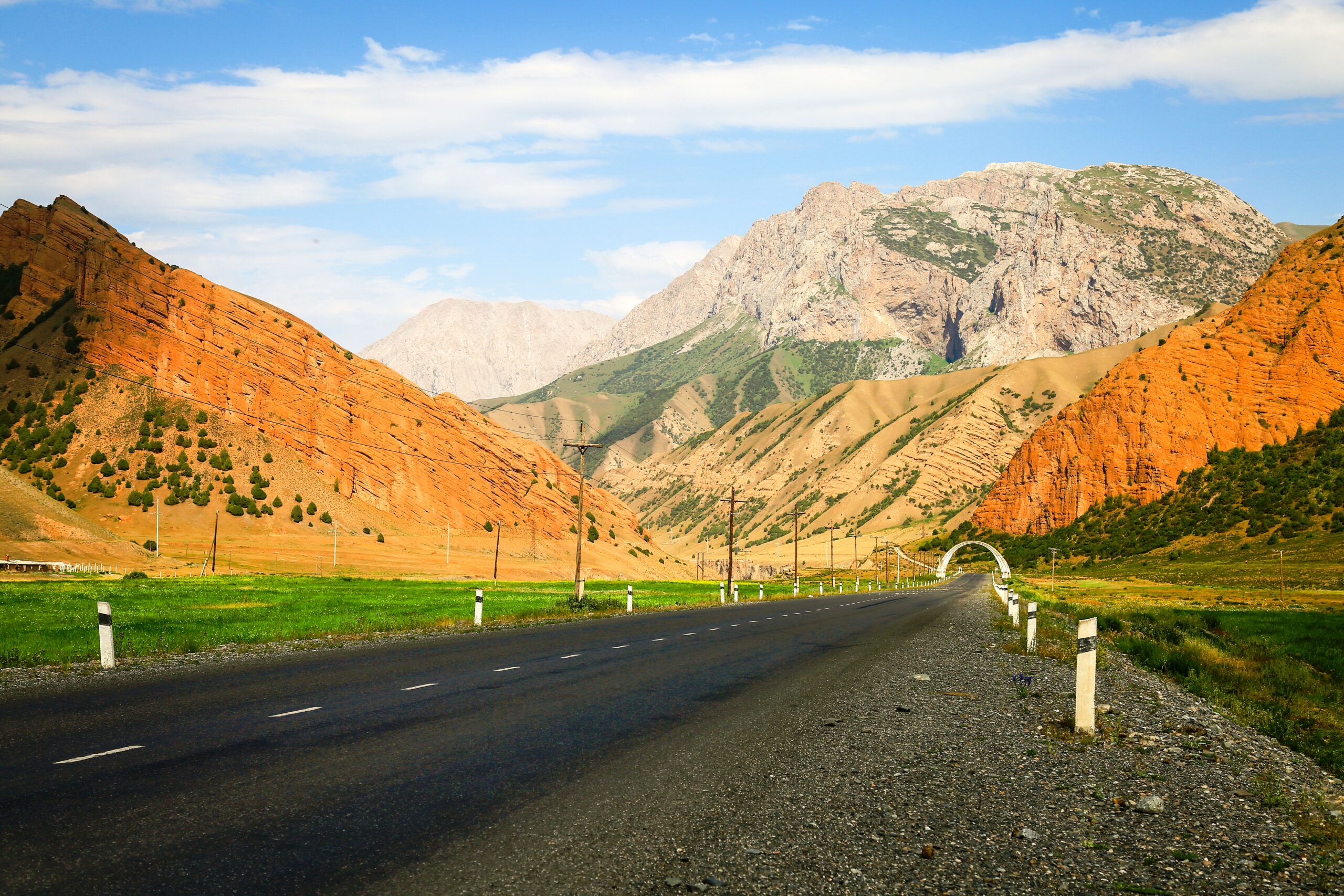
Osh-Alai Road – Experience the colorful landscapes of rolling green, red, and black mountains along the Taldyk Pass.
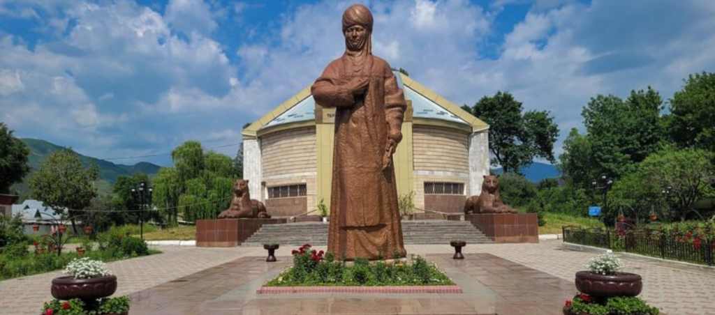
Kurmanjan Datka Museum – Discover the history of the «Queen of Alai,» who resisted Russian expansion.
Silk Road & Borders – Explore the historic Alai Valley near the Chinese and Tajikistan borders (50–70 km away).
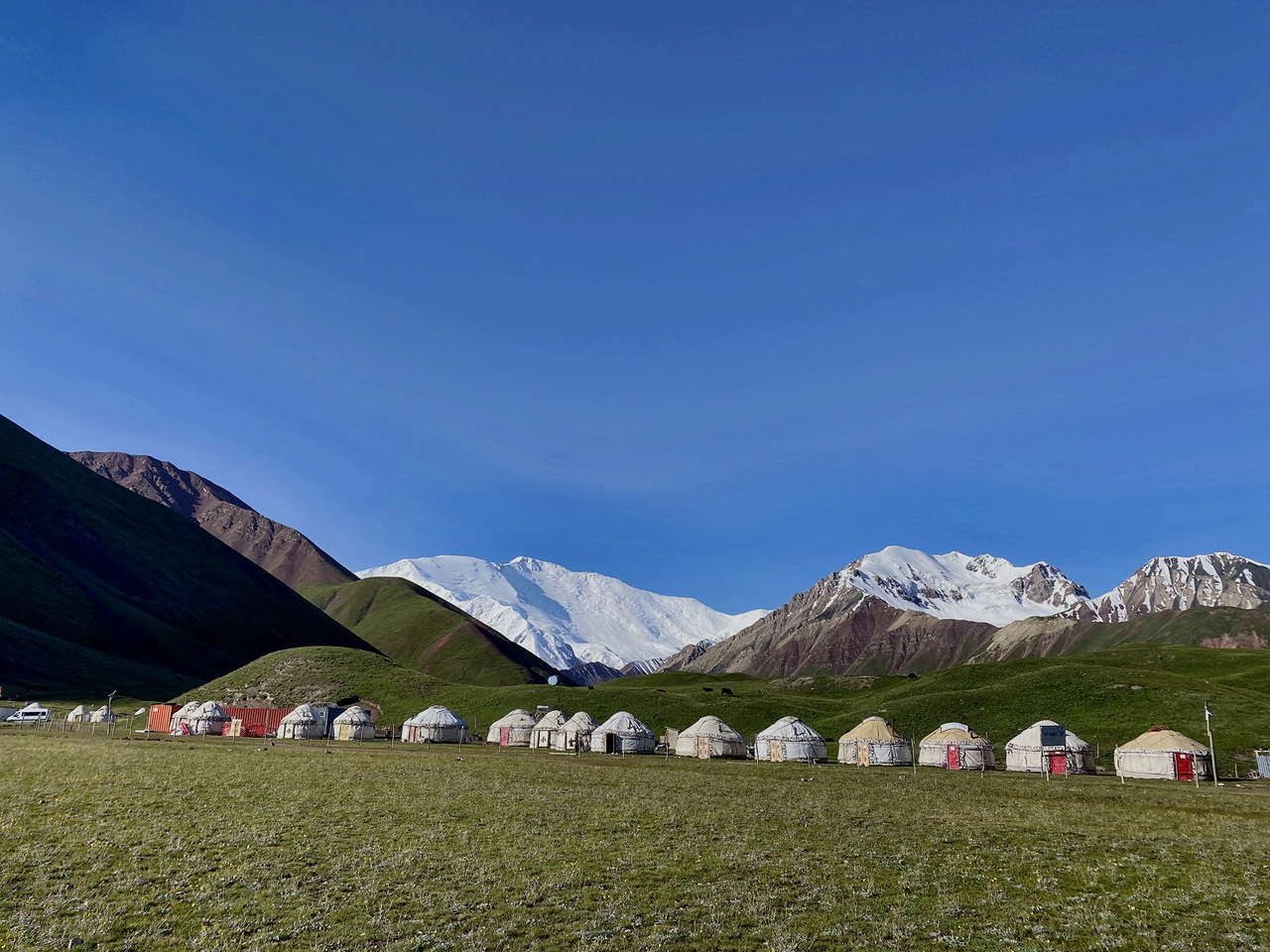
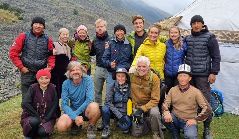
Nomadic Culture – Observe the traditional lifestyle of Kyrgyz nomads in seasonal camps.
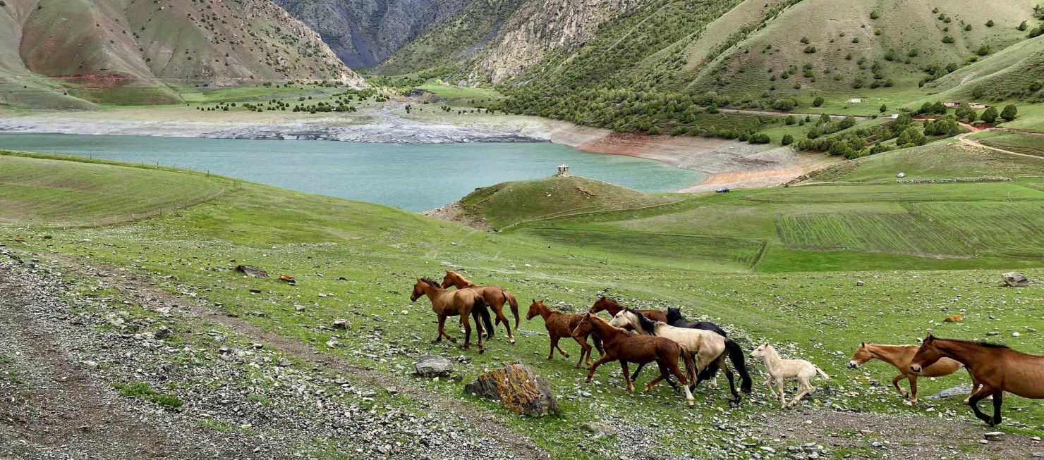
Semi-Wild Yaks – Spot herds of yaks grazing in the highlands.
Warm Hospitality – Experience the welcoming nature of the local people and their traditions.
| Destination | Osh | Sary-Mogol | Tulpar-Kol | Lenin Peak | Peak Petrov | Damjailoo | Kosh-Kol | Kashka-Suu |
|---|---|
| Depature | Yes Required |
| Departure Time | Contact us for more information |
| Return Time | Contact us for more information |
| Included |
|
|
What to Bring: |
|
 |
|
Price:
| Number of tourists | 2 | 3 | 4 | 5 | 6 |
|---|---|---|---|---|---|
| Price in USD Dollar for the group | $1350 | $1550 | $1740 | $1925 | $2190 |
Warm and light clothes for trekking (jackets, trousers, shoes) and regular clothes for visiting the city.
Sun protection (cream, glasses, etc.).
Money (some cash in soms just in case), ATMs available (visa, master card) in all regions of Kyrgyzstan.
Three networks available (O, Megacom) in remote areas.
Starting Point: Osh.
Ending Point: Osh.
Duration: Total 5 days (approximately 16km, 10miles walking).
Difficulty: Moderate to challenging (due to altitude).
Hiking distance: km, miles.
Driving distance: km miles (until Sary-Mogol).
Ascent and descent: 5400/3420 meters.
Highest and lowest points: 3600/ 980meters.
Season: from July to mid September.
Short itinerary:
Day1. Osh - Sary-Mogol.
Day2. Sary-Mogol - Tulpar-Kol - via peak Panorama.
Day3. Tulpar-Kol - Base camp of Lenin Peak – Peak Petrov - Sary-Mogol.
Day4. Sary-Mogol town via Damjailoo pasture to the Kosh-Kol lakes then night in tent.
Day5. Walk to Kashka-Suu village onward drive to Osh.
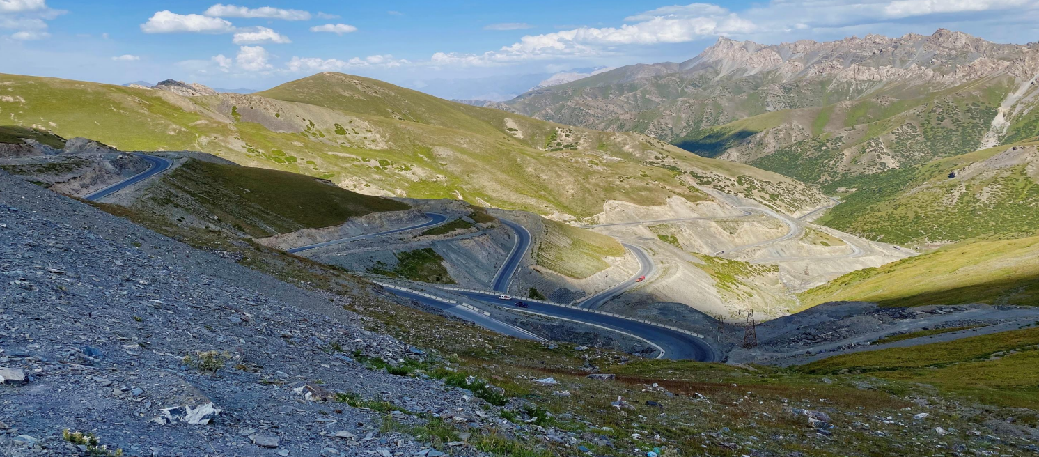
Your adventure begins in Osh at 08:00 with an 80 km drive to Gulcho, where you’ll visit the Kurmanjan Datka Museum. Delve into the history of Alai during an hour-long exploration before continuing to the stunning Bulolu Gorge. Enjoy a refreshing 1–2-hour hike over Aral Camp, followed by lunch at a yurt camp. Next, drive 50 km to Kolduk Lake, where a 5 km lakeshore hike awaits. Continue along the legendary M41 road, stopping to photograph the vibrant rock formations of the Alay Mountains, including Uch-Tobo and Taldyk Pass (3,600 m). Arrive in Sary-Tash for a brief break, with views of the nearby borders of Tajikistan and China, before driving 30 km to Sary-Mogol for an overnight stay.
Accommodation: guesthouse (twin, double, and single beds available) with (shared) running.
water, hot showers, and Wi-Fi.
Driving Distance: 245 km / 152 miles.
Travel Time: 6-7 hours (excluding breaks).
Ascent/Descent: 4,665 m / 2,690 m.
Highest/Lowest Points: 3,600 m / 975 m.
Accommodation Altitude: 2,970 m.
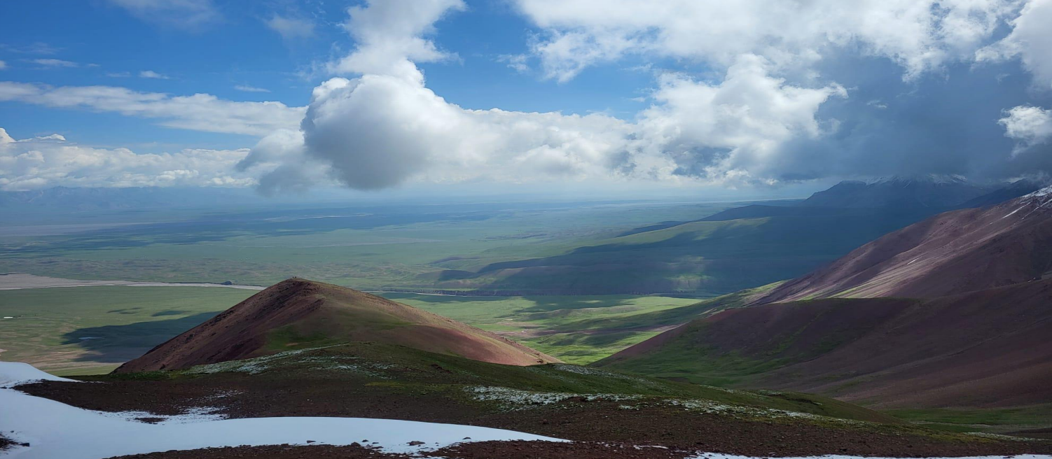
After breakfast, depart at 08:00 AM by car to Tuyuk Gorge (1-hour drive). Begin your ascend through the scenic views of Peak Estonia (6,202 m) and Peak Latvia (6,134 m). Continue the ascent to Peak Panorama for breathtaking views of Lenin Peak, the Alai Valley, and the "40 Lakes." After enjoying the spectacular scenery, descend back to the yurt camp for the night.
Total distance: 28km.
Driving distance: 22km 40min driving.
Hiking time: 10km, 6 hours (excluding lunch and break time).
Ascent/Descent: 3370/3620 meters.
Highest and lowest points: 4100/3500 meters.
Level: Moderate to challenging (where is walking up to top).
Accommodation altitude: 3500.00 Meters | 11482.94 Feet.
Accommodation type: yurt camp (twin and share beds are available) shared solar water heater shower, water running western toilets.
Connection: there is solar electricity for phone charge, signal (megacom, beeline, O) and Wi-Fi in 5G.
Breakfast around 06:00. Departure from the camp at 07:00. After crossing the Achyk-Tash River, we start hiking toward the Lenin Peak Base Camp area and continue ascending to the shoulder viewpoint of Petrov Peak (4680 m). In this program we do not climb the summit of Petrov Peak (4745 m), as reaching the summit requires mountaineering equipment, technical experience, and proper acclimatization. Instead, we hike up to the shoulder viewpoint, which already offers spectacular panoramic views of Lenin Peak, the Achyk-Tash Valley, and surrounding glaciers.
After reaching the viewpoint, we descend along the same trail to the meeting point with the driver. Then we drive to Sary-Mogol.
Overnight in a guesthouse.
Hiking distance: 10 km one side from Tulpar-Kol.
Duration: 7-9 hours.
Difficulty level: Challenging (where is climbing).
Ascent/Descent: 1396 m and same down.
Highest and lowest points: 3490/4680.
Driving distance: 43km (1h30min).
Accommodation in Sary-Mogol (same guesthouse).
After breakfast at 08:00 AM, descend through scenic trails along the clear Kashka-Suu River. The hike lasts about 2 hours (4.8 km). Upon arrival in the car meeting point, drive back to Osh (245 km, ~4 hours on an asphalt road).
Hiking Distance: 4.8 km.
Driving Distance: 245 km.
Hiking Time: 2 hours.
Altitude: 3,773 m (highest), 3,035 m (lowest).
Difficulty Level: Easy.

![IMG-20231106-WA0009[1]](https://alaytravelguide.com/wp-content/uploads/2026/05/IMG-20231106-WA00091.jpg)
Write Your Review