
This is considered one of the most beautiful and popular trekking routes in the Alay region of Southern Kyrgyzstan. The trek is accessible from June to September. Based on our extensive experience, even large groups can complete this trek without difficulty by gradually adapting to the altitude, as there are two major mountain passes: Sary-Mogol Pass (4280 m) and Jiptik Pass (4185 m). It is important to gradually acclimatize to the altitude before starting the trek.
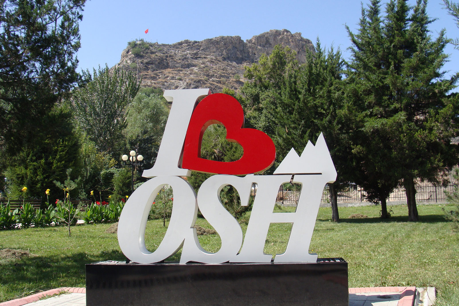
Starting point: Osh (960 m) – one overnight stay is recommended for initial acclimatization.
Day 2: Sopu-Korgon village (~2000 m).
Day 3: Sary-Mogol village (~2900 m).
Then continue the trek into the high mountain valleys and yurt camps.
| Destination | Osh | Sopu-Korgon | Sary-Mogol | Aigul Yurt Camp | Kosh-Moinok Camp | Kojo-Kelen village | Jiptik yurt | camp | Tulpar-Kol | Lenin Peak |
|---|---|
| Depature | Yes Required |
| Departure Time | Contact us for more information |
| Return Time | Contact us for more information |
| Included |
|
| Excluded |
|
 |
|
Price:
| Number of tourists | 2 | 3 | 4 | 5 | 6 | 7 | 8 | 9 | 10 | 11 |
|---|---|---|---|---|---|---|---|---|---|---|
| Price in USD Dollar for the group | $1480 | $1850 | $2220 | $2590 | $2960 | $3845 | $4200 | $4580 | $4950 | $5320 |
Important Notes: Guide & Group Size One trekking guide is included in the price. For groups of more than 8 people, an assistant guide is required. The cost for an assistant guide is 320 USD for 8 days. Porter Service: Porter service is not included in the price. However, for groups, a porter is highly recommended from Day 3 to Day 7 (5 days). If needed, we can provide horse porter service, and the price will depend on the number of travelers. Clothing & Equipment: It is important to bring both warm and light clothing. During the day it can be quite hot, but mornings and evenings are usually cool (not freezing, but chilly). Trekking shoes or good hiking shoes are required. Trekking poles are recommended, especially for uphill walking. If you don’t have trekking poles, you can rent them in Osh. Cash & Payments for your own needs. We recommend carrying around 5,000 KGS (Kyrgyz som) in cash. In rural areas, small shops usually accept cash only. This will be useful for buying snacks, water, or other personal needs. Additionally, local mobile banking systems (such as MBank and other Kyrgyz apps) can be used to transfer money where internet is available. However, these services typically require having a local Kyrgyz bank account, so they may not be accessible for foreign travelers.
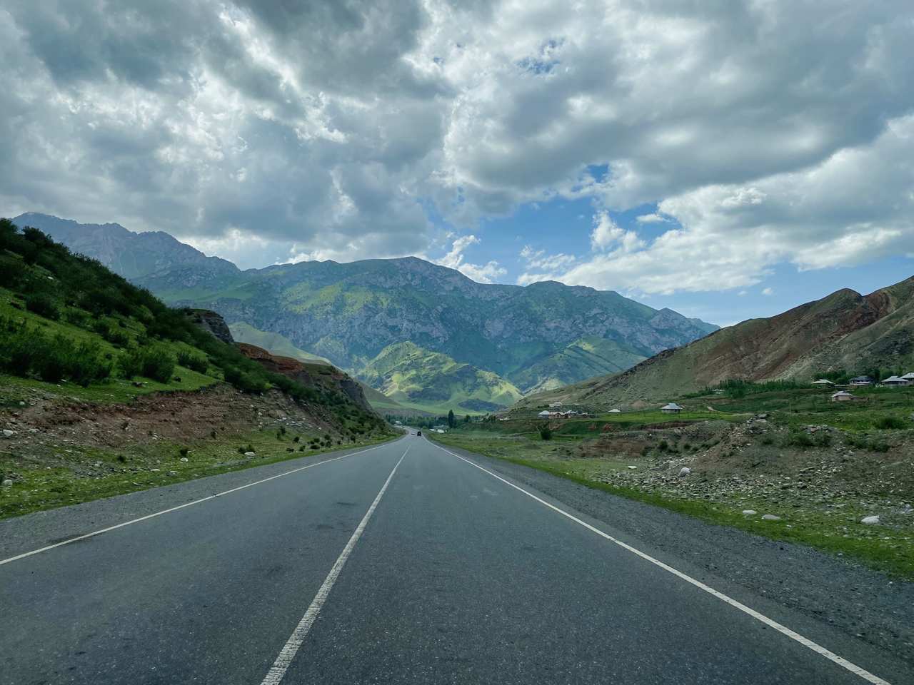
Route: Depart from Osh in the morning. Travel 65 km to Chyyrchyk pasture, enjoying panoramic mountain views. The area features many yurts, local herders with horses, and opportunities to observe traditional mountain life.
Take a short break and continue driving 50 km to Chon-Bulolu village, located in a scenic gorger.
Activity: Lunch in Chon-Bulolu, followed by a 17 km hike (5–6 hours) at a slow pace to practice altitude adaptation. After the hike, meet the vehicle and continue to Sopu-Korgon village.
Accommodation: Guesthouse (twin/4 beds), hot water shower, running water, western toilets, electricity, mobile signal (Megacom, Beeline, O).
Distance & Elevation: Driving 118 km (2 h), hiking 17 km (10 miles).
Ascent 810 m, descent 910 m.
Highest point 2810 m, lowest points: 1950 m.
Accommodation altitude: 2079.5 m / 6822.6 ft.
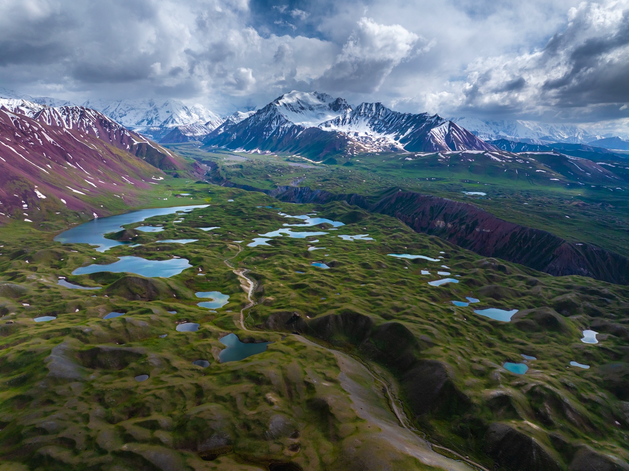
Morning: After breakfast, drive 7 km (30 minutes) to start exploring the Kolduk Lakes. Take a 4 km round trip to view the lakes.
Continue driving 22km to Emerald Lake, upon arrival in yurts lunch in yurt then hiking for 2 km one way, moderate difficulty, about 2 hours round trip from the yurt area.
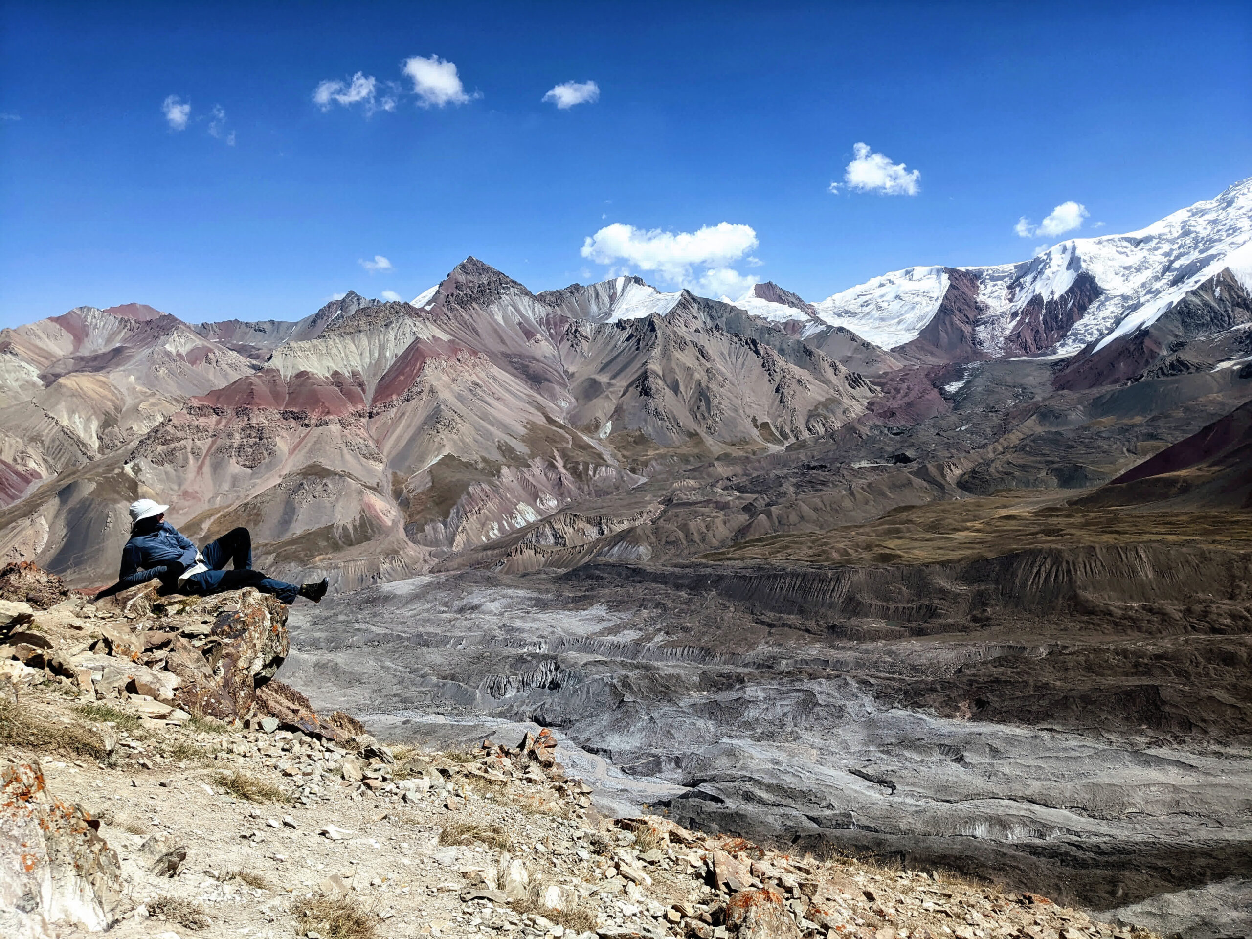
Afternoon: Continue driving towards Sary-Mogol village, after passing Taldyk Pass (3640 m). breathtaking view of the Pair-Alai Mountains will open up before you.
Accommodation: Alay Travel guesthouse. Twin beds, all beds on sofas, warm water, shower, indoor toilets, and free Wi-Fi.
Altitude: 2970 m.
Notes: After dinner, a briefing on the upcoming trekking section is provided. Heavy luggage can be left at the guesthouse for the next day's trek.
Morning: Depart the village after breakfast. Drivers take the group by car along 16km (1 hour) of dirt road to the trekking start point.
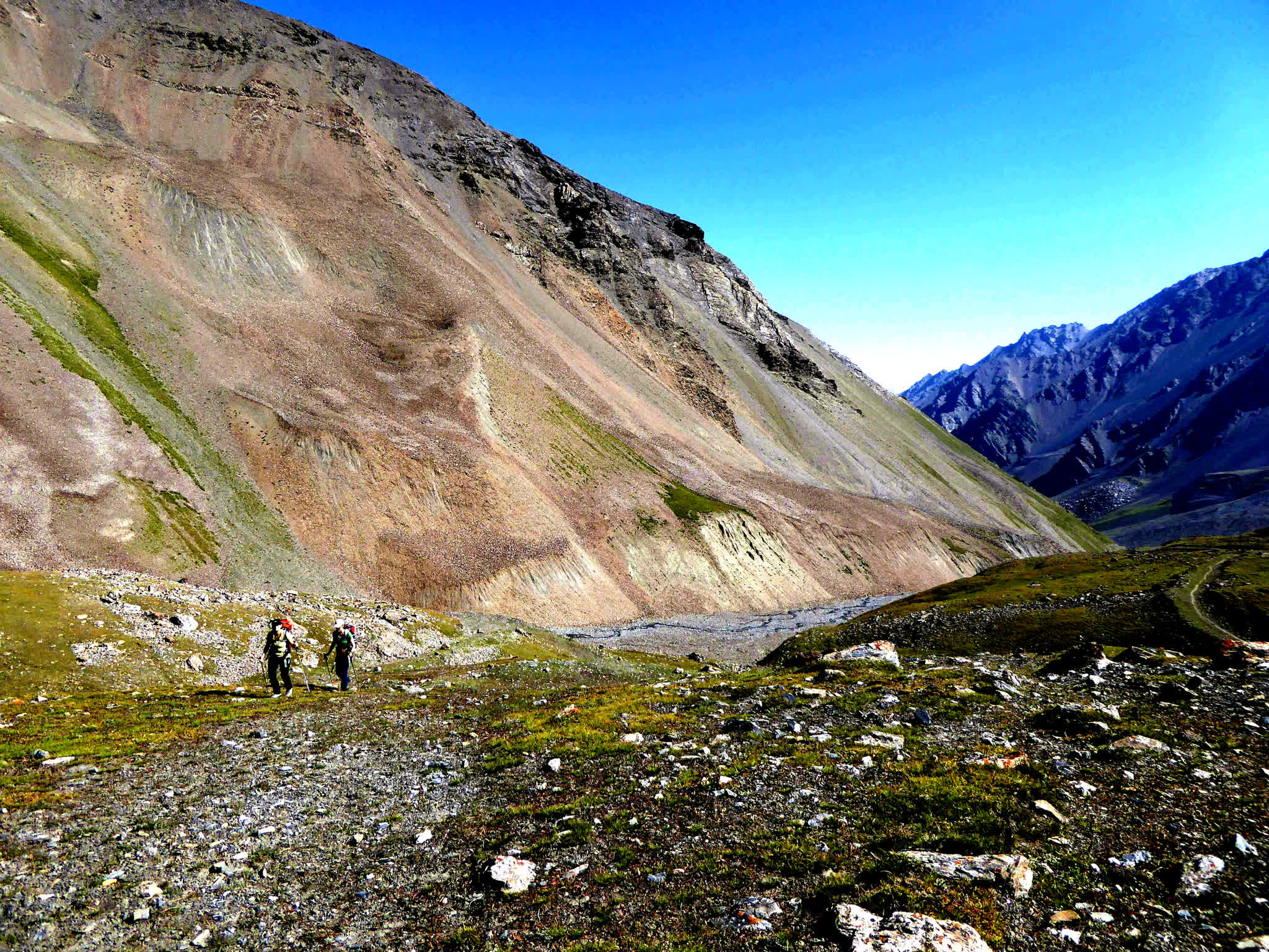
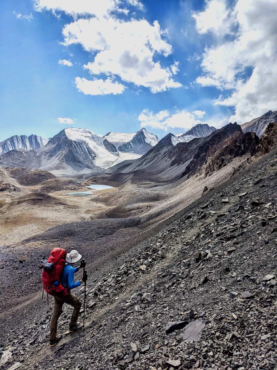
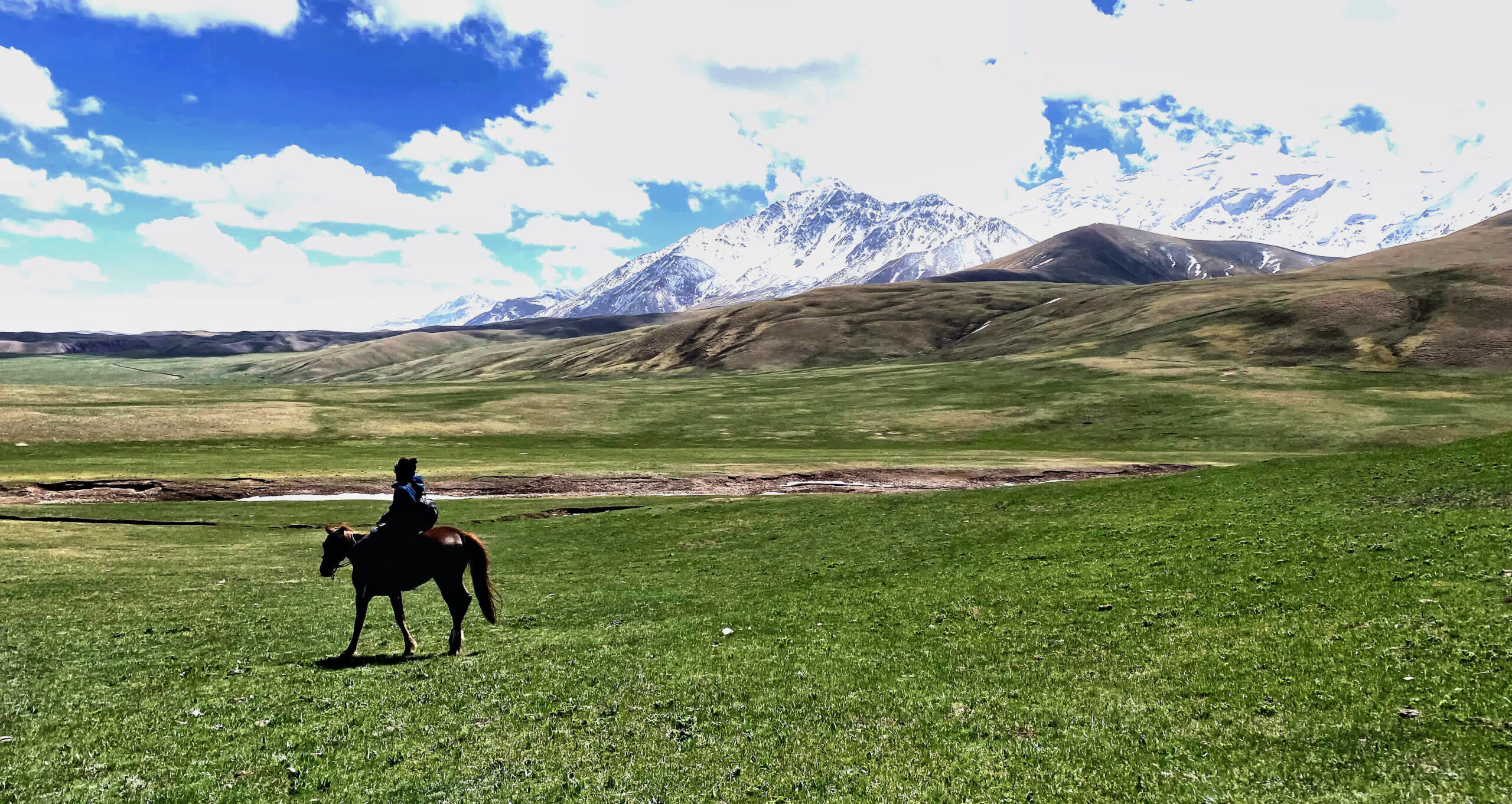
Trek: Hike for 3 hours to reach the Sary-Mogol Pass (4280 m). Enjoy stunning views of four lakes below the pass and Continue for 2–3 hours to reach Yurt Camp, where local host Orozgul prepares overnight and food
• Trekking Distance: ~14 km (8.7 miles), 6 hours hiking (excluding driving).
• Elevation: Ascent 910 m / Descent 790 m, highest 4270 m, lowest 3380 m.
• Accommodation Altitude: 3382 m / 11095 ft.
• Facilities: No electricity, no internet, no mobile signal. Power bank is recommended for charging devices. The local hosts provide yurts for overnight stay so travelers don’t need to carry heavy gear.
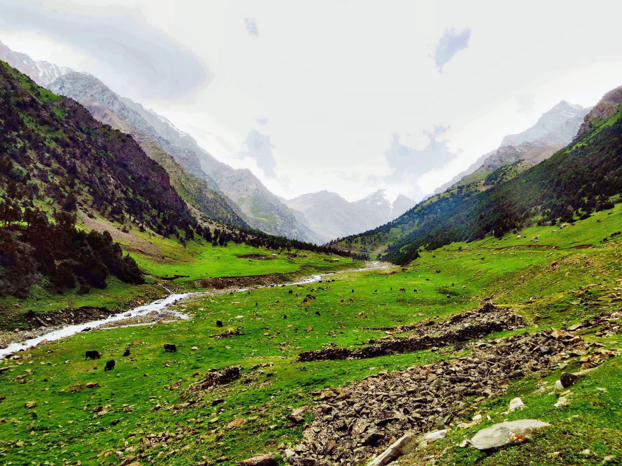
Route: Descend gradually, passing small settlements in the Kichik-Alay region, including Sary-Mogol village and Kyzyl-Shoro village. Cross Kosh-Moinok Pass and follow the river valley to reach Kosh-Moinok Yurt Camp, located in a scenic mountain setting ideal for rest.
• Trekking Distance: 18 km (11.2 miles), 7 hours hiking (excluding breaks).
• Elevation: Ascent 830 m / Descent 1460 m, highest 3467 m, lowest 2467 m.
• Accommodation Altitude: 2822 m / 9258 ft.
• Facilities: Yurts and a dining hut installed by local family (Begali & Nurdoolot), solar water heater, running water, shared toilets.
• Connection: No electricity, no internet, no mobile signal. Power bank is recommended for charging devices.
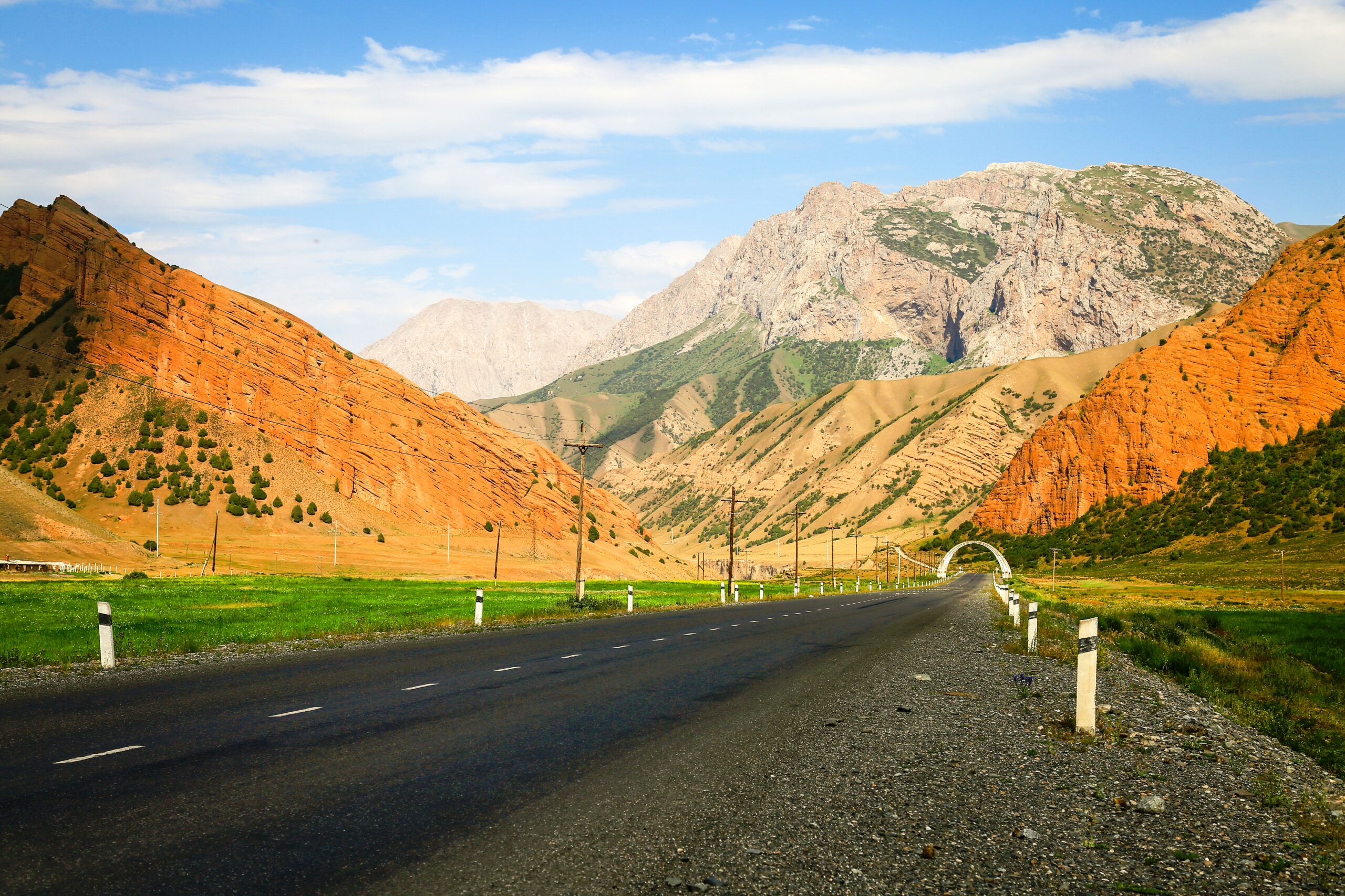
Route: After breakfast, ascend Sary-Bel Pass. Enjoy views of unique rock formations, colored cliffs, and diverse flora. Continue along Kok-Kiya ridge and descend towards Kojo-Kelen village. Along the way, you will see a rock shelter.
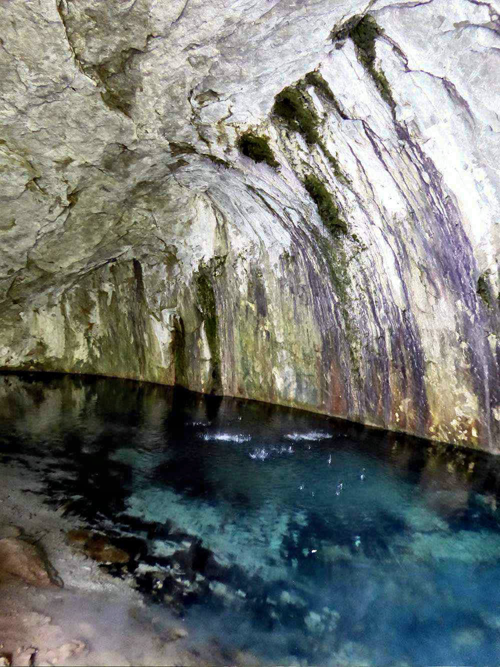
Evening Experience in Kojo-Kelen:
Upon arrival, settle into a cozy homestay where you’ll be welcomed with warm Kyrgyz hospitality. Before dinner, take a short walk to discover two local gems:
Waterfall: A hidden cascade that offers a refreshing ambiance, perfect for relaxation and photography.
Blue Cave Pool: A magical spot where the turquoise water glows inside a natural cave—ideal for a quick dip or simply admiring its beauty.
Approximate trekking distance: 10km (6.50miles).
Hiking time: 6h (excluding lunch and break time).
Ascent/Descent: 340/960 meters.
Highest and lowest points: 3127 /2230meters.
Accommodation altitude 2230.00 Meters | 7316.27 Feet.
Accommodation type: local homestay, share rooms in the traditional floor blankets with hot shower and flush toilet.
Connection: there is electricity and Wi-Fi.
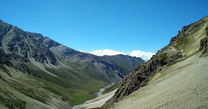
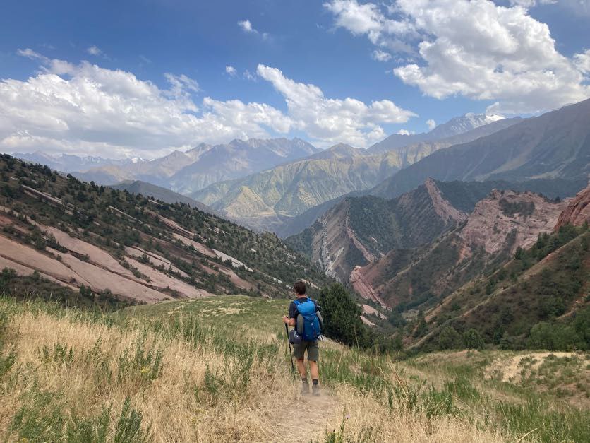
Begin your day following the tranquil path alongside the Ak-Buura River. This trail winds through stunning gorges, lush valleys, and the dramatic landscapes of southern Kyrgyzstan. Along the way, marvel at the contrast between the greenery and the rugged cliffs towering above.
As you ascend gently, the air grows crisper, and the views become increasingly majestic. This serene walk leads you to Bolot’s yurt camp nestled in the foothills of the Jiptik Pass.
Approximate trekking distance: 14km (8.70miles).
Hiking time: 5hours (excluding lunch and break time).
Ascent/Descent: 1000/10 meters.
Highest and lowest points: 3225 /2220 meters.
Accommodation altitude 3040.00 Meters | 9975 Feet.
Connection: No electricity, internet and signal (power bank is recommended).
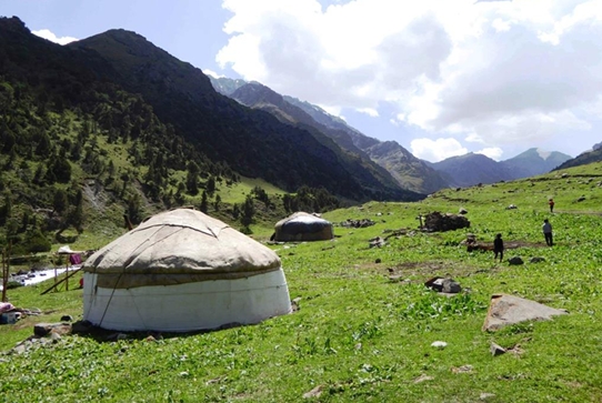
Accommodation type: Yurt (beds on traditional mattress without higher sofa 3-4 people in one yurt).
Shared toilet outside.
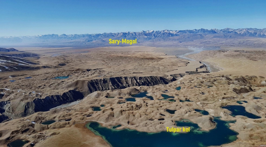
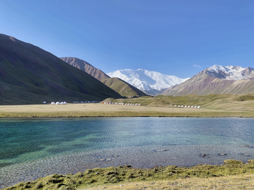
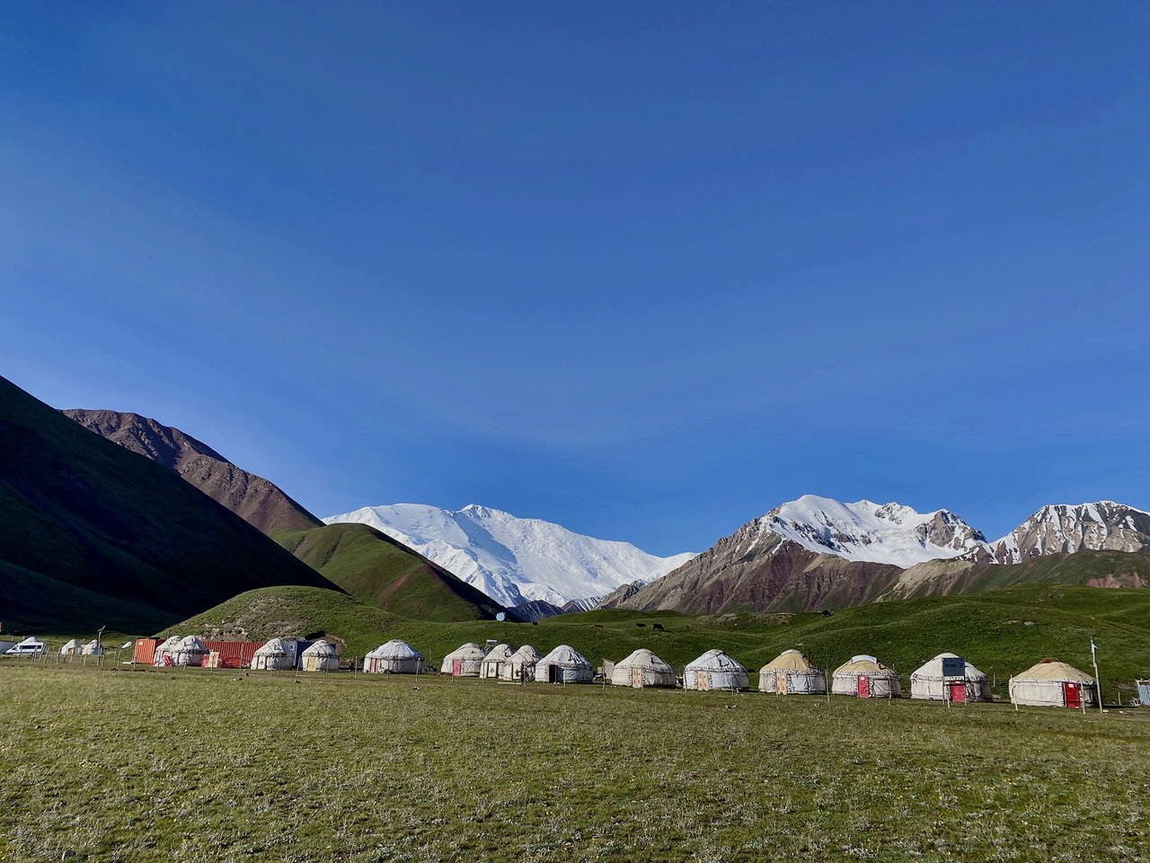
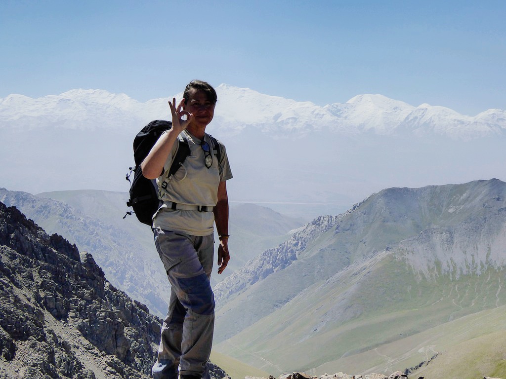
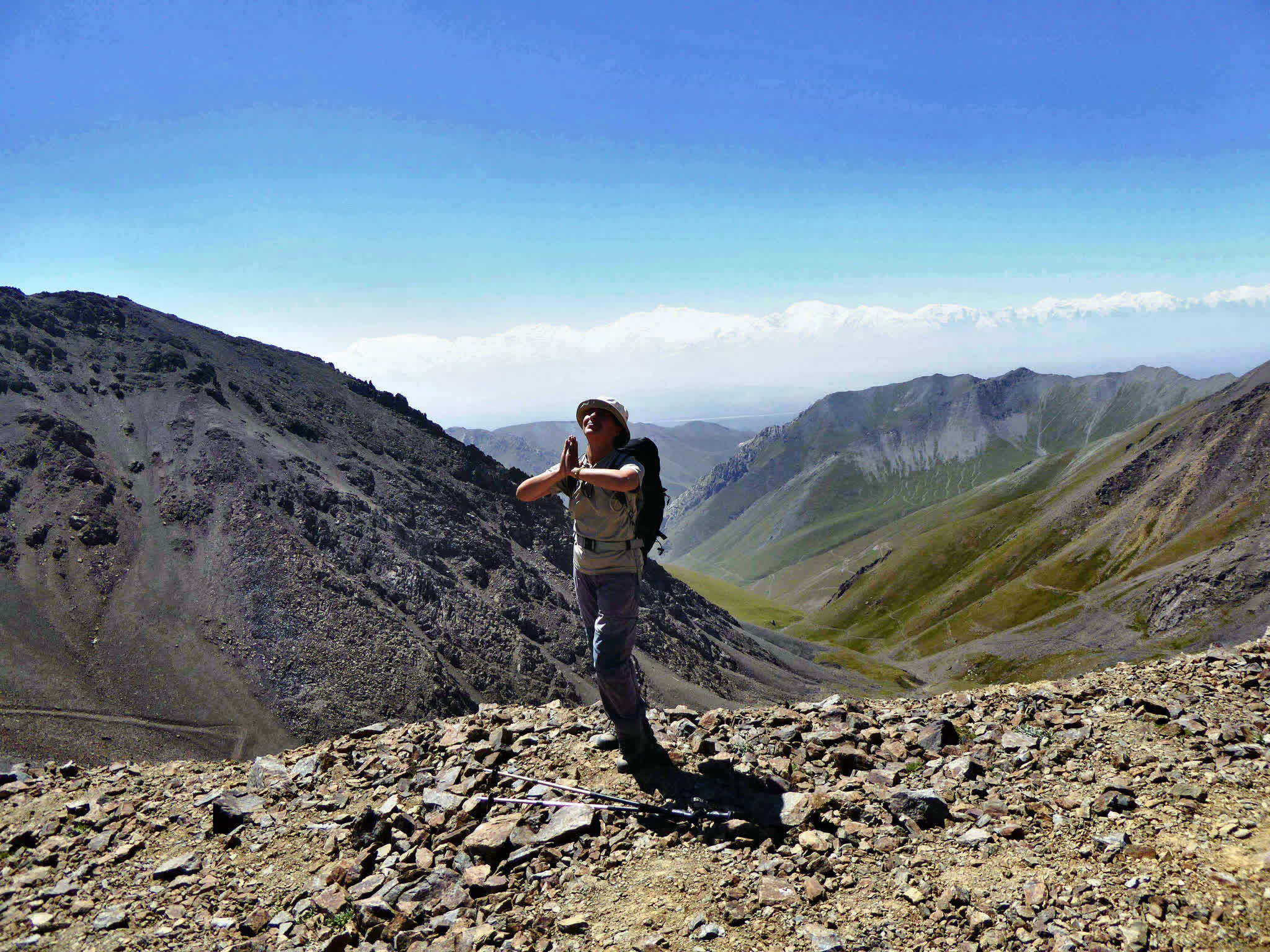
Morning: Ascend Jiptik Pass (~3 hours). Enjoy panoramic views of Pamir-Alay mountains and Lenin Peak if weather is clear. Descend via Darbaza-Tash, crossing between two rock formations. Drive 30 minutes to Sary-Mogol guesthouse. Refresh, change clothes, and continue 25 km (1 hour) to Tulpar-Kol Yurt Camp, located near lakes at the base of Lenin Peak.
Distance: 13.5 km (8 miles).
Duration: ~5 hours (excluding breaks).
Elevation gain/loss: ↑840 m / ↓880 m.
Altitude: 3290 m – 4185 m (Jiptik pass).
After breakfast, we take lunch boxes and head towards the Lenin Peak side, where breathtaking views of the entire summit open up. We have two options: either ascend via Travelers’ Pass (about 7 hours round trip) or choose a shorter route called Kok Chukur (3–4 hours round trip). Depending on your preference and physical condition, we select the route and begin the hike.
Option 1. Tulpar-Kol to Travelers' Pass-Tulpar-Kol.
Distance: ~14 km round trip.
Duration: 7 hours.
Difficulty: Moderate to challenging (where is walking up to Travel Pass).
Ascent/Descent: 650/50.
Highest and lowest points: 4127m / 3500m.
Option2. Tulpar-Kol to best view.
Distance: ~10 km round trip.
Duration: 3 hours.
Difficulty: Moderate Ascent/Descent: 260/40.
Highest and lowest points: 3720m / 3500m.
You will return to Osh. The drive is 245 km on a direct road without any detours, taking approximately 4–5 hours. Upon arrival in Osh city, you will be transferred to your hotel.
After that, if you wish, you can hire an additional guide in the afternoon to hike up Sulaiman-Too Mountain. It is also possible to visit independently: you can explore the museum, enjoy panoramic views of the city from the top, then descend via the staircase, visit the historical museum, and relax in the nearby parks — making for a very pleasant experience.


![IMG-20231106-WA0009[1]](https://alaytravelguide.com/wp-content/uploads/2026/05/IMG-20231106-WA00091.jpg)
Write Your Review